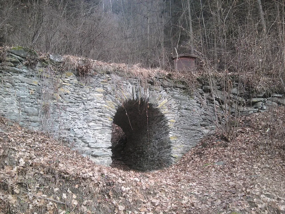


The Römerbrücke at St. Dionysen is a small stone arch bridge in the woods above the Mur valley near Bruck an der Mur, on the old way from Oberdorf to St. Dionysen. It may be Roman, perhaps of the 2nd century, but that date is uncertain: the bridge is first recorded in 1454.
What is there today
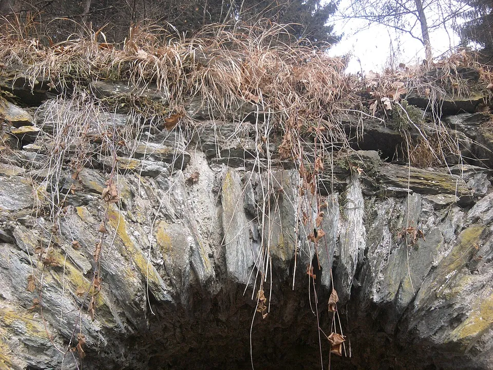
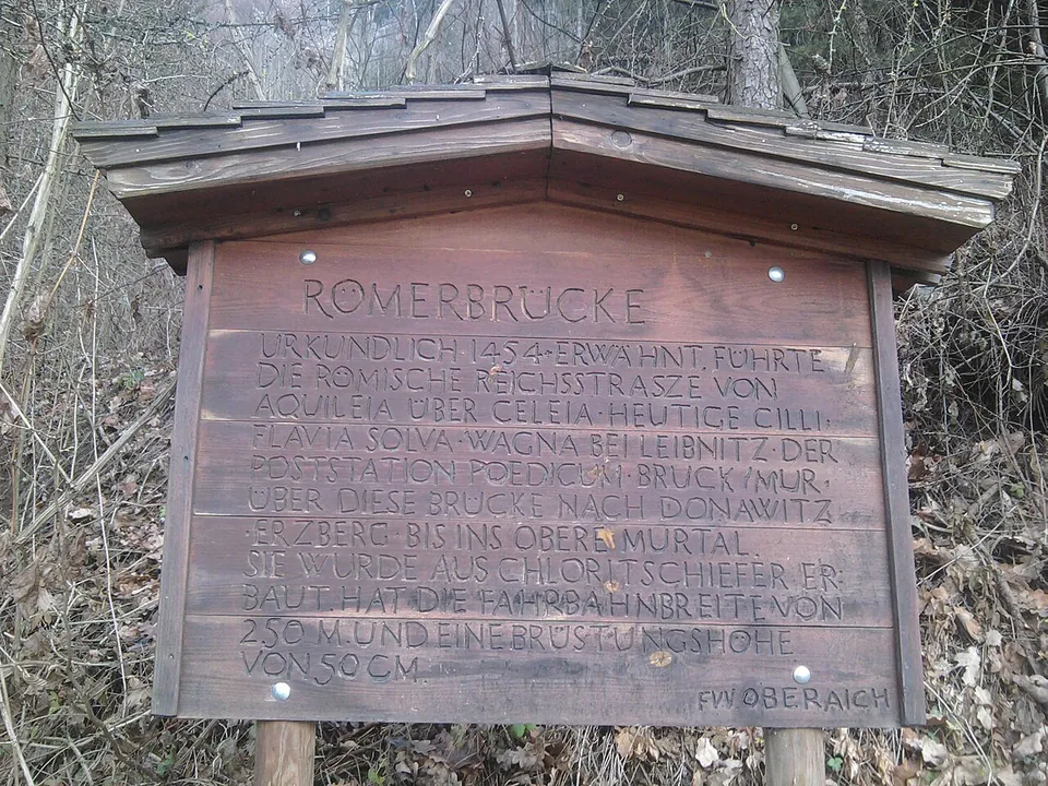
A single arch of rubble stone, under heritage protection (de.wikipedia), carries the old way across a gully. The arch is built of thin, flat stones set on edge, and the bridge stands complete, in woodland, with an information board put up by the municipality beside it (Commons).
Is it worth the trip?
Only if you are nearby and like old roads. It is a pleasant short walk to an attractive and intact old bridge, but its Roman date is a possibility rather than a fact, and it is a small thing on its own. Do not come expecting a monument.
Getting there
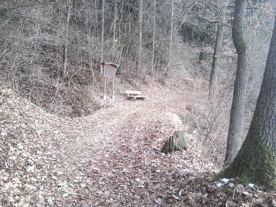
The bridge is at Oberdorf, on the way to St. Dionysen, in the municipality of Bruck an der Mur (de.wikipedia). It stands on a footpath, with an information board beside it and the nearest mapped car park about 90 m away (OpenStreetMap). There is no operator, no fee and no opening time.
Visiting details
- Tickets
- Free
- Parking
- The nearest mapped car park is about 90 m from the bridge (OpenStreetMap).
History
The bridge is named in a document of 1454. It probably belonged to the former Roman road that ran from Flavia Solva, near today’s Wagna, up the Mur valley to Poedicum, today’s Bruck an der Mur, and on to Stiriate, today’s Liezen (de.wikipedia). Its dating is uncertain: the Australian engineer O’Connor’s survey “Roman Bridges” (1993) lists it as Roman, relying on an older publication of the 1960s, but the Italian scholar Galliazzo’s much larger catalogue of 1994 does not include it (de.wikipedia).
More photographs


Sources
Every fact on this page comes from the records below, each used under the licence noted.
| Source | Licence |
|---|---|
| Wikidata Q1798599 | CC0 |
| OpenStreetMap node/1445787605 | ODbL |
| Wikipedia (de) — Römerbrücke (Oberdorf) | CC BY-SA 4.0 |