

What is there today
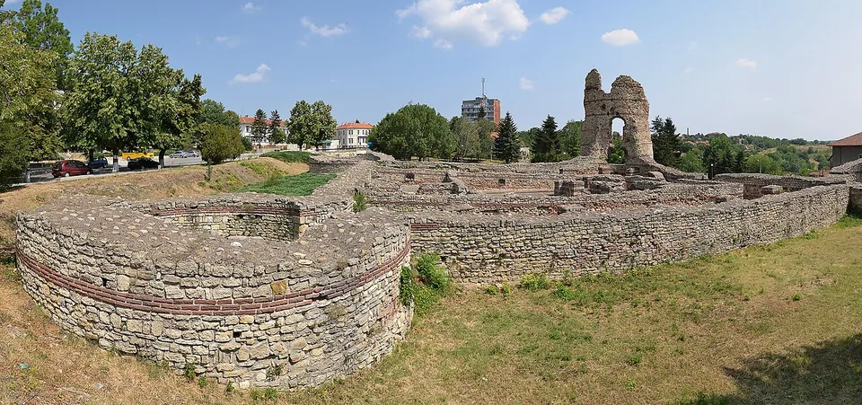
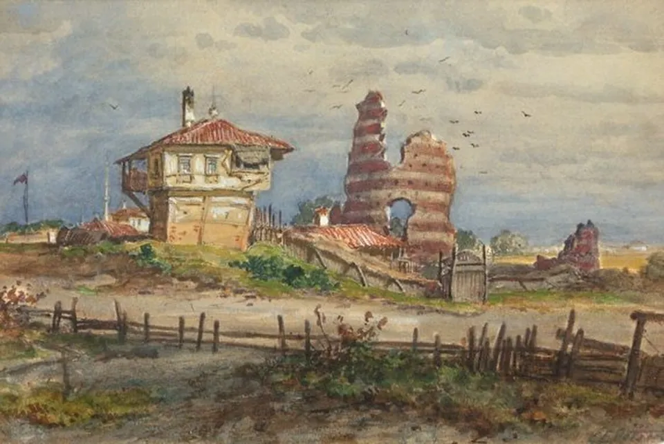
The fort has two parts. The first built was a quadriburgium, a small square fort 40 m by 40 m with large round towers 12.5 m across at the corners; it is very well preserved and fully uncovered, its walls of stone with bands of three courses of brick, 2.2 m thick, standing on average 2 m above the floors. Its south-east tower rises to 16.3 m, and the town, Kula, “tower”, takes its name from it (bg.wikipedia; de.wikipedia). The only way in was a gate on the south side, strengthened probably at the end of the 4th century with a second, narrower wall that formed guard rooms and a tower over the gate (bg.wikipedia).
South of it lies a larger fort, walled under Constantine the Great with walls 4.3 m thick and seven many-sided towers around 1.55 ha. North-west of the fortress the foundations of a Roman bath show that civilians lived outside the walls (bg.wikipedia). The town has a local museum with finds from the fortress and a model of it (de.wikipedia).
Is it worth the trip?
If you are in the north-west, yes: a late Roman tower still standing 16 m high is rare, and the small fort is complete enough to read at a glance. Kula is far from the other Bulgarian sites in this atlas, so it suits a journey towards the Serbian border rather than a detour of its own.
Getting there
Castra Martis is in the centre of Kula, about 32 km from Vidin and 13 km from the Vrashka Chuka border crossing into Serbia (de.wikipedia; bg.wikipedia). A car park is mapped about 55 m away (OpenStreetMap). We could find no opening hours or fee published by an operator.
Visiting details
- Tickets
- Unknown
- Parking
- A car park is mapped about 55 m away (OSM way/680032455).
- On foot
- About 1 min from the parking
Before you go
- We could find no operator page with opening hours or a fee (searched 3 October 2026); the Danube Limes project page that Wikidata links to no longer exists.
History
A small Thracian and Roman settlement stood on the slope before the fort (bg.wikipedia). The fort was probably built by Diocletian at the turn of the 3rd and 4th centuries, when the Danube frontier was rebuilt after the loss of Dacia, to guard the road from Bononia to Singidunum over the Vrashka Chuka pass (bg.wikipedia; de.wikipedia). Its bishop attended the Council of Serdica in 343, and the emperor Gratian passed through with his troops in the 370s on his way to Thrace (bg.wikipedia; en.wikipedia; de.wikipedia).
The Huns under Uldin took it in 408, apparently by treachery (en.wikipedia). Procopius lists it among the fortresses rebuilt by Justinian I, and the Avar invasion of 586–587 destroyed it (bg.wikipedia). In the 13th and 14th centuries it was partly rebuilt to defend the kingdom of Vidin, and the Austro-Hungarian traveller Felix Kanitz identified the ruins as Castra Martis in the 1870s (bg.wikipedia; de.wikipedia).
Nearby
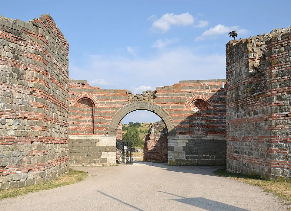
Photo: Pudelek (Marcin Szala) · CC BY-SA 3.0 rs · Commons

Straight-line distances.
Sources
Every fact on this page comes from the records below, each used under the licence noted.
| Source | Licence |
|---|---|
| Pleiades 207017 | CC BY |
| Wikidata Q1049811 | CC0 |
| OpenStreetMap way/603766101 | ODbL |
| Wikipedia (bg) — Кастра Мартис | CC BY-SA 4.0 |
| Wikipedia (en) — Castra Martis | CC BY-SA 4.0 |
| Wikipedia (de) — Kula (Bulgarien) | CC BY-SA 4.0 |