

What is there today
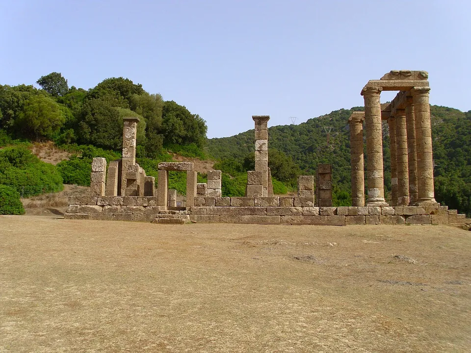
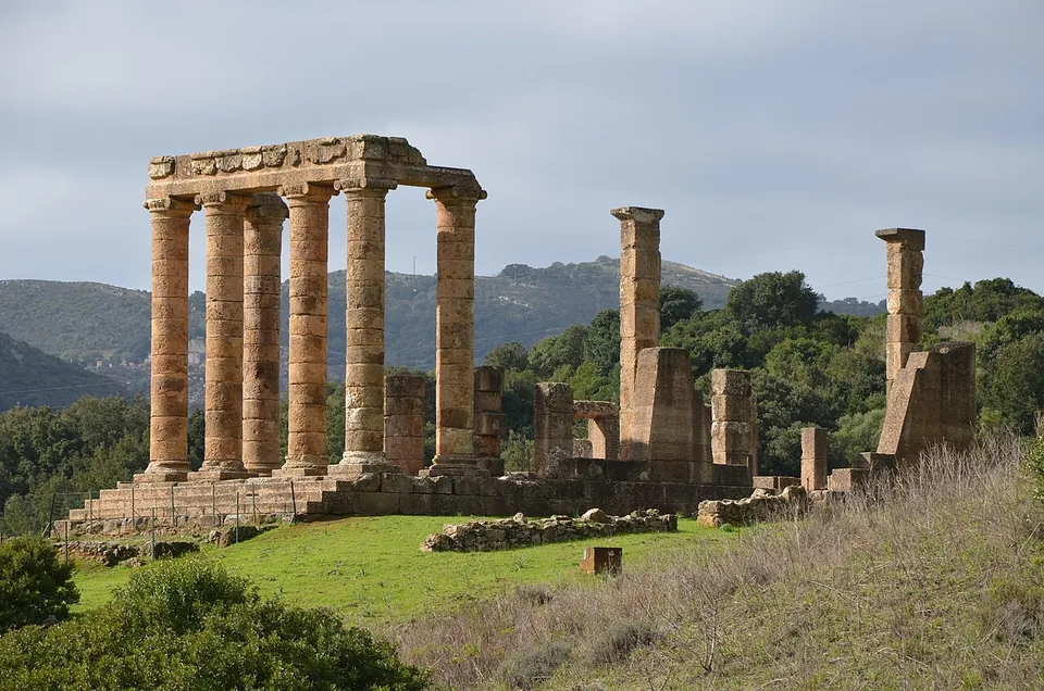
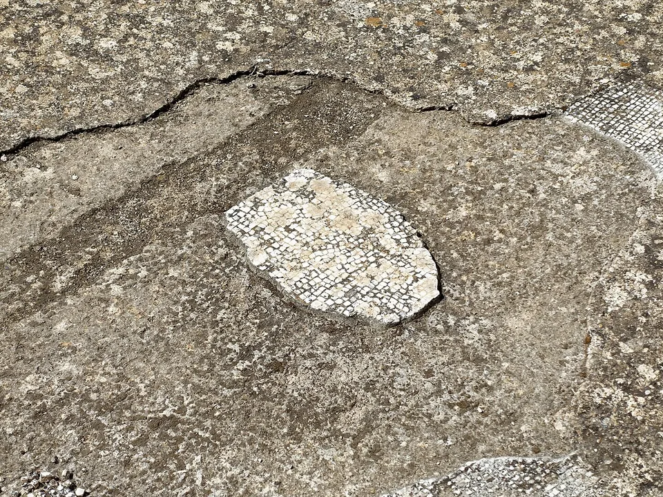
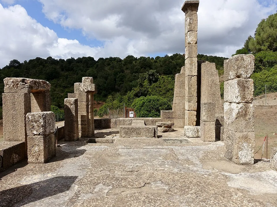
The temple stands on a podium of local limestone about 20 m long (it.wikipedia, de.wikipedia). Its porch has smooth columns with Ionic capitals, four across the front and one on each side, standing about 8 m high as reconstructed (SardegnaCultura). They were put back up in the restoration that followed the 1967–68 excavation, so the silhouette is a reconstruction around original stone. Behind the porch, the cella keeps its pilasters against the walls and its mosaic floor, and at the back two doors lead into two small rooms fitted with cisterns, which probably held water for purification rites (SardegnaCultura, it.wikipedia). Faint traces of the Punic temple lie beneath the Roman steps (SardegnaCultura).
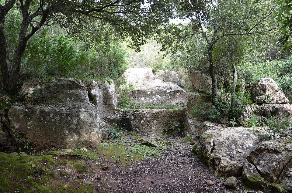
Around the temple, the archaeological area takes in the Roman quarries that supplied its limestone and the remains of a Nuragic village of round buildings some 200–250 m to the south-west, reused in late Roman times (it.wikipedia, de.wikipedia). An ancient path leads from the area to a cave about 2 km to the north, the Grotta di Su Mannau, where a water cult was practised (de.wikipedia). The Iron Age tombs found in front of the temple were covered over after excavation and cannot be seen (it.wikipedia). A free app, “Valle di Antas”, or a tablet lent at the ticket office guides you round the valley in Italian or English (SardegnaCultura).
Is it worth the trip?
If you are in the south-west of the island, yes. A Roman temple with its columns standing, in a green valley under the limestone of Monte Conca s’Omu, is the draw, and the quarries and the Nuragic village make it more than a single building. Be clear about what you are seeing: the columns were re-erected in the restoration, and it is one temple rather than a town, so it fits into a day around Iglesias, 9 km away, rather than being a trip of its own. Check the season before you go: from December to February it opens only on Friday mornings and at weekends, and in winter it closes when it rains.
Getting there
The temple lies about 9 km north-west of Iglesias (de.wikipedia) and about 10 km south of Fluminimaggiore, in that town’s territory (it.wikipedia). From Iglesias, take the SS 126 towards Fluminimaggiore as far as km 54.1, where a signed asphalt road on the right runs about 1.5 km to the site; it takes cars and coaches (SardegnaCultura). The car park, about 250 m from the temple, has a kiosk bar, the ticket office and a bookshop. No public transport is mapped near the site, so plan on a car.
Opening hours follow the season: daily 09.30–19.30 in July and August, 09.30–18.30 in September, and 09.30–17.30 from April to June and in October. In March and November it opens Tuesday to Friday 10.00–14.00 and at weekends 09.30–16.30; from December to February only on Friday 10.00–14.00 and at weekends 09.30–16.30. It is closed on 25 December, and the ticket office shuts half an hour before closing time. A ticket is €6, or €4 for children aged 6 to 12, groups of more than 30 and schools; a €7 combined ticket adds the ethnographic museum in the Licheri watermill (SardegnaCultura, the Regione Sardegna portal, read 19 October 2026 — check before travelling).
Visiting details
- Opening hours
- July and August daily 09.30–19.30; September daily 09.30–18.30; April to June and October daily 09.30–17.30; March and November Tuesday to Friday 10.00–14.00, Saturday and Sunday 09.30–16.30 (closed Mondays); December to February Friday 10.00–14.00, Saturday and Sunday 09.30–16.30 (closed Monday to Thursday). Closed 25 December; 1 January 10.30–16.30. The ticket office closes half an hour before closing time, and in winter the site closes when it rains. Groups can book other times.
- Tickets
- €6; €4 for children aged 6 to 12, groups of more than 30 and schools. A €7 combined ticket adds the Museo Etnografico Antico Mulino ad acqua Licheri. The "Valle di Antas" app (Italian and English) is free, or a tablet can be borrowed free at the ticket office.
- Parking
- Car park about 250 m from the temple (OSM node/1714709508), with a kiosk bar, the ticket office and a bookshop.
Before you go
- No bus stop or railway station is mapped near the site; it needs a car.
- From December to February it opens only Friday mornings and at weekends, and in winter it closes when it rains.
Hours and prices checked 19 October 2026 on the operator's own site. Confirm before travelling.
History
The valley was sacred long before Rome. From the 9th century BC there were single shaft tombs here, and one held a bronze figurine of a nude male god with a spear in his left hand and his right hand raised, which has been linked to the local god Babai and his Punic counterpart Sid (SardegnaCultura). The Carthaginians built a temple to Sid around 500 BC, after their conquest of the island, and remodelled it around 300 BC (SardegnaCultura). Carthaginians and then Romans were drawn to the district by its metal ores; the articles name lead together with iron or silver (it.wikipedia, en.wikipedia).
Rome rebuilt the sanctuary in the Augustan period (SardegnaCultura), around 38 BC by the dating in it.wikipedia and de.wikipedia, and dedicated it to Sardus Pater Babai, the Roman form of the same god. In the 2nd century AD the geographer Ptolemy described a sanctuary of Sardus Pater at the source of a sacred river, which de.wikipedia identifies with the Rio Antas. Under Caracalla, between 213 and 217, the temple was restored: the Latin inscription from that work records that Quintus Coelius (or Cocceius) Proculus restored the temple of the god Sardus Pater Babi, which had fallen into ruin through age (SardegnaCultura; it.wikipedia). Of the statue that probably stood in the temple only a finger has been found, from which it is estimated at about 3 m tall (it.wikipedia). Votive offerings found in the temple area include bronze figurines, iron spears, 42 Republican and 1,103 imperial coins (it.wikipedia). With the coming of Christianity the temple was closed, around the 4th century AD (de.wikipedia).
The site has been identified with Metalla (de.wikipedia), the Roman mining centre of the Iglesiente run by a procurator of the mines, where Christians and slaves were sent to forced labour (en.wikipedia, it.wikipedia); it.wikipedia notes that Metalla’s exact location is still undetermined. The ruins were found by General Alberto La Marmora in the 1830s (published dates are 1836 and 1838), excavated in 1967–68 and then partly restored to their appearance under Caracalla; the area in front of the temple was excavated between 1984 and 1994 (SardegnaCultura, en.wikipedia, it.wikipedia).
More photographs


Sources
Every fact on this page comes from the records below, each used under the licence noted.
| Source | Licence |
|---|---|
| Pleiades 472015 | CC BY |
| Wikidata Q689104 | CC0 |
| OpenStreetMap way/294620207 | ODbL |
| SardegnaCultura (Regione Sardegna) — Fluminimaggiore, Temple of Antas | licence not recorded |
| Pleiades — Metalla | licence not recorded |
| Wikipedia (it) — Tempio di Antas | CC BY-SA 4.0 |
| Wikipedia (de) — Tempel von Antas | CC BY-SA 4.0 |
| Wikipedia (en) — Temple of Antas | CC BY-SA 4.0 |
| Wikipedia (fr) — Temple d'Antas | CC BY-SA 4.0 |
| Wikipedia (it) — Metalla | CC BY-SA 4.0 |
| Wikipedia (en) — Metalla | CC BY-SA 4.0 |