

What is there today
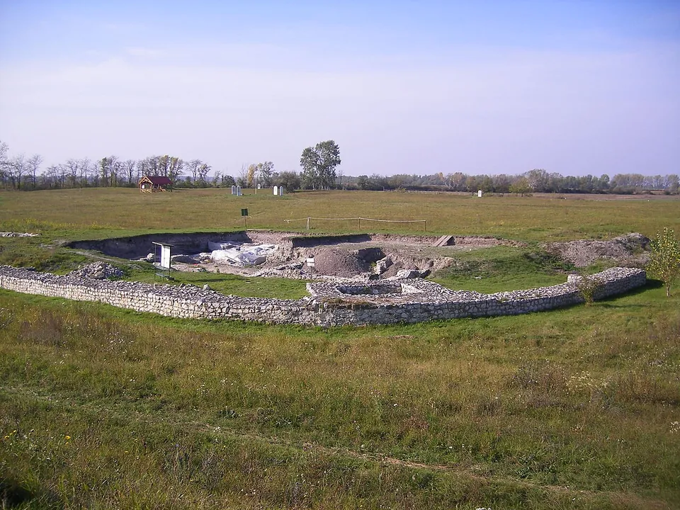
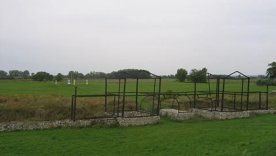
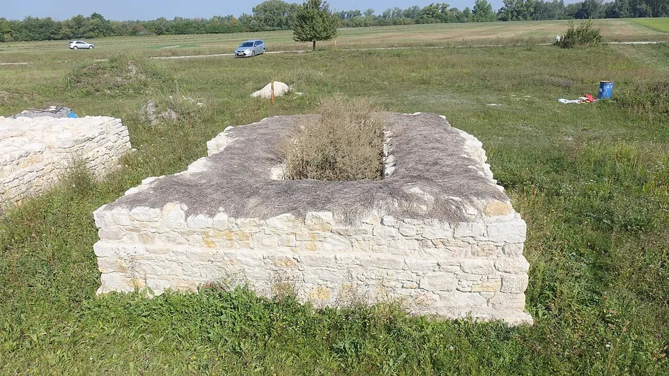
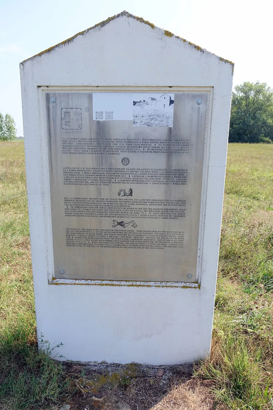
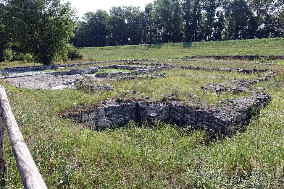
What survives is the plan of the fort rather than any standing building. Its ruins were still clearly visible in the late 18th century, but afterwards their stone was taken to build the fortress and other buildings of Komárno (en.wikipedia), and only remnants of its foundation walls survive (sk.wikipedia). With the backing of the village of Iža, the state and donors, the site is now an open-air museum, according to the Archaeological Institute of the Slovak Academy of Sciences, which looks after it (“the operator” below). The line of the southern wall is marked out with its intermediate and corner bastions, and a metal silhouette shows the southern gate. There are also the ground plan of the northern gate, two corner bastions with additions of the 4th century, a barrack of the 3rd century, a well and a water tank. Some of this is original masonry and some is reconstruction. Information boards with drawings of the fort as it was stand among the remains, with texts in Slovak, Hungarian, German and English (the operator). Elsewhere the fort shows only as a slightly raised square of meadow (the operator).
The stone fort was large: about 175 m a side, some 3 hectares (de.wikipedia), so the outlines take a walk to see.
Is it worth the trip?
Yes, for anyone following the Roman frontier along the Danube. It is part of the western segment of the Danube Limes, added to the UNESCO World Heritage List in 2021 (en.wikipedia), it is free and open all year, and the outlines and boards make the plan of a frontier fort easy to read on the ground.
Set your expectations, though. What you see is low walls and foundations in an open field by the river, and OpenStreetMap maps no building, café or toilets there. It makes a good stop on a drive along the Danube, and it pairs naturally with Komárno, where finds from the fort are shown in the Podunajské Museum and in the Lapidarium of Roman Monuments in Bastion VI (the operator).
Getting there
The fort is on the left bank of the Danube within the limits of Iža, east of Komárno (the operator); published distances from Komárno run from 4 to 7 km (it, en and sk.wikipedia). From Komárno or Nové Zámky, take road 64 and then road 63 to Iža. From the village centre a concrete-slab road leads to the Danube, and the fort is about 1.5 km west along the bank. From Komárno there is also a local road from the Váh bridge through the district of Veľký Harčáš, about 3 km, followed by an 800 m path across the fields. On foot or by bicycle, the flood dike along the Váh and the Danube leads there from Iža or from Komárno in about 4 km (the operator). No car park or bus stop is mapped near the site (OpenStreetMap).
The operator describes the site as open to the public all year round and publishes no admission charge; de.wikipedia calls it free to visit.
Visiting details
- Opening hours
- Open all year round; an open-air site.
- Tickets
- No charge is published. The operator describes an open-air museum open to the public all year round, and de.wikipedia calls it free to visit.
- Parking
- No car park is mapped within 300 m (OpenStreetMap). The operator's directions lead from the centre of Iža on a concrete-slab road to the Danube, then about 1.5 km west along the bank.
Before you go
- No bus stop is mapped near the site. Without a car, the operator suggests walking or cycling the flood dike along the Váh and the Danube from Iža or Komárno, about 4 km.
Hours and prices checked 10 October 2026 on the operator's own site. Confirm before travelling.
History
The geographer Ptolemy, in the 2nd century, names a place Celamantia or Kelamantia among the Germanic lands beside the Danube; placing it here, opposite Brigetio, is a modern reading of his text (de.wikipedia). A few early Roman finds from the area date to the reign of Domitian (81–96), and the archaeologist Ján Rajtár took them as a sign of at least a brief Roman military presence then (de.wikipedia). The fort itself began during the Marcomannic Wars as a camp of timber and earth, which its excavators date to 171–175. It was destroyed by enemy attack before the wars ended in 180: a thick layer of burning covers it, and the latest coin found in it was struck between December 178 and spring 179 (de.wikipedia). Aerial survey has also found five short-lived marching camps of the same wars just to the west and north-west (de.wikipedia).
Under Commodus (180–192) the burnt camp was levelled and the fort rebuilt in stone on the same spot. All the building material had to be brought across from the south bank, and brick stamps show that construction crews of the Legio I Adiutrix, stationed at Brigetio, were employed on the building (de.wikipedia). Bastion towers were added in the 4th century (sk.wikipedia), and the last building works date from the reign of Valentinian I (364–375). The fort was probably plundered or abandoned soon after his death (the operator); de.wikipedia dates its violent destruction to after the battle of Adrianople in 378 at the latest. Germanic settlers lived on the site for a time, and by the first half of the 5th century it was deserted (de.wikipedia).
The Hungarian name Leányvár (“girl castle” in en.wikipedia’s gloss, “virgins castle” in the operator’s) is explained by a local legend about a Roman soldier named Valentin; the name more probably goes back to King Béla IV’s gift of the ruins to the Dominican nuns of Margitsziget (en.wikipedia). Excavation began in 1906 under János Tóth-Kurucz, a teacher born in Iža, and since 1978 the Archaeological Institute of the Slovak Academy of Sciences in Nitra has been responsible for researching, preserving and presenting the site (de.wikipedia). It has been protected since 1957 and is a national cultural monument (the operator).
More photographs


Sources
Every fact on this page comes from the records below, each used under the licence noted.
| Source | Licence |
|---|---|
| Pleiades 197337 | CC BY |
| Wikidata Q1309695 | CC0 |
| OpenStreetMap way/785879900 | ODbL |
| Roman Fort in Iža - Kelemantia, the monument (Archaeological Institute of the Slovak Academy of Sciences, which looks after the site) | licence not recorded |
| Roman Fort in Iža - Kelemantia, location (Archaeological Institute of the Slovak Academy of Sciences) | licence not recorded |
| Rímsky kastel v Iži - Kelemantia (Archaeological Institute of the Slovak Academy of Sciences) | licence not recorded |
| Wikipedia (de) — Kastell Iža-Leányvár | CC BY-SA 4.0 |
| Wikipedia (en) — Celemantia | CC BY-SA 4.0 |
| Wikipedia (sk) — Rímsky vojenský tábor v Iži | CC BY-SA 4.0 |
| Wikipedia (hu) — Celemantia | CC BY-SA 4.0 |
| Wikipedia (it) — Celemantia | CC BY-SA 4.0 |