Country · 4 sites
Roman Slovakia
In what is now Slovakia, the Danube was the frontier of the Roman province of Pannonia, and the land north of it was what the Romans called the barbaricum. The country’s Roman sites are the forts that guarded this frontier and the traces of the wars fought beyond it. Both forts belong to the western segment of the Danube Limes, added to the UNESCO World Heritage List in 2021.
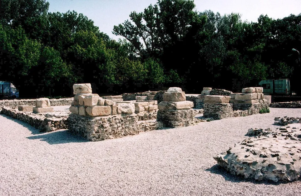
Gerulata, in the Bratislava borough of Rusovce, stood on the Pannonian bank. It was a cavalry fort in the chain of forts along the frontier. Its garrison is dated from the 1st century in some accounts and from the 2nd in others, and the fort was abandoned in the 4th. An exhibition building of the Bratislava City Museum stands beside the remains.
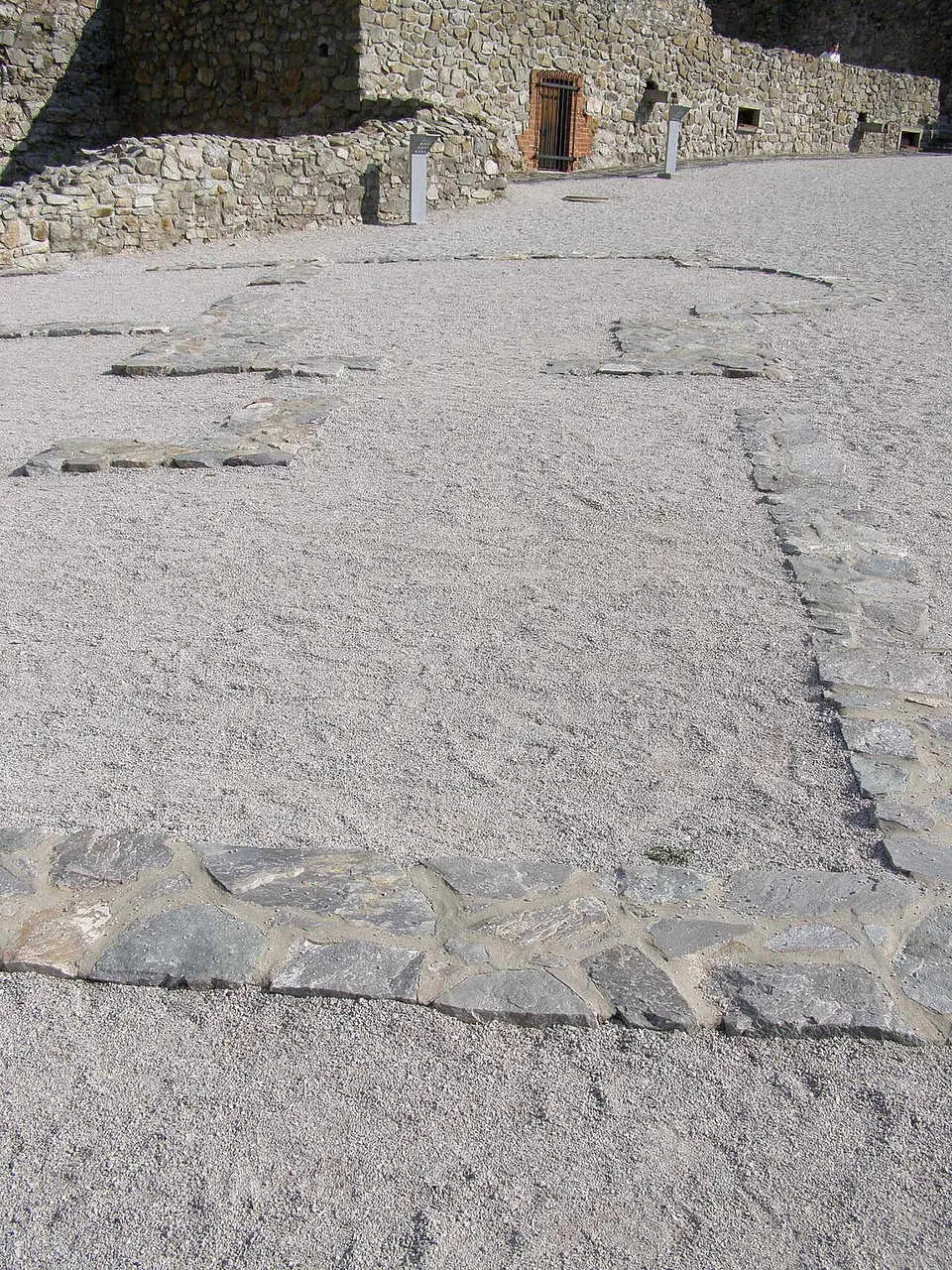
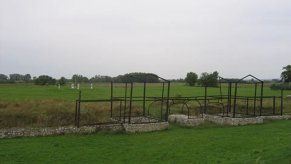
Downriver, the fort at Iža, called Celemantia or Kelemantia and known today as Leányvár, lies on the far bank a few kilometres east of Komárno. It guarded a river crossing and bridgehead directly opposite the legionary camp of Brigetio. It is the largest Roman military site known in Slovakia, and its remains are open to the public. Gerulata and Iža are the only frontier forts found in the country so far.
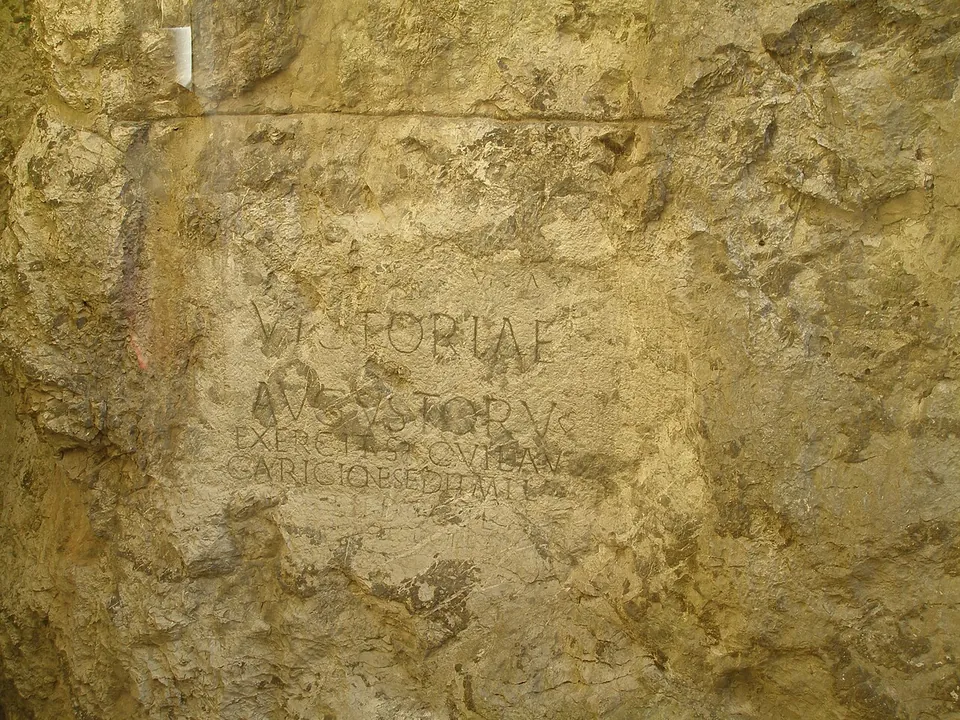
Away from the river, Roman soldiers moved up the Váh valley during the Marcomannic Wars. On the castle rock at Trenčín, men of the Legio II Adiutrix carved an inscription recording a victory over the Germanic tribes in 179, dedicated by the 855 soldiers who had wintered at a place called Laugaricio. It is described as the most important Roman inscription in central Europe north of the Danube, and it is still on the rock where it was carved, seen today through a glass wall inside a hotel at the foot of the castle rock.
Sources: Wikipedia (en) — Gerulata; Wikipedia (de) — Kastell Gerulata; Wikipedia (hu) — Gerulata; Wikipedia (en) — Celemantia; Wikipedia (de) — Kastell Iža-Leányvár; Wikipedia (hu) — Celemantia; Wikipedia (sk) — Rímsky nápis v Trenčíne; Wikipedia (sk) — Laugaricio; Wikipedia (hu) — Trencséni felirat; Wikipedia (en) — Danubian Limes; Visit Trenčín — Rímsky nápis na hradnej skale
Select Show on map beside a site or town to see where it is.Scroll the list: each site or town is marked on the map as you reach it. The interactive map shows them all.