Country · 2 sites
Roman Kosovo
Under Rome, the land that is now Kosovo lay in Moesia, the province created south of the Danube in the reign of Augustus. It was the heart of Dardania, named after the Dardani who lived here before the Roman conquest: first a district of Moesia, then from the end of the 3rd century a province of its own.
Ulpiana, near Gračanica (Graçanicë) south-east of Pristina, became a municipium under Trajan before AD 117, probably on the wealth of the ore deposits in its hinterland, and was one of the largest settlements in the late antique Balkans. After an earthquake in 518 Justinian rebuilt it and renamed it Iustiniana Secunda. In the north, Municipium Dardanorum at Sočanica was a Roman mining town from the 2nd to the 4th century, and at Vendenis, near Podujevo (Podujevë), stood one of the road stations between Ulpiana and Naissus that the Tabula Peutingeriana records.
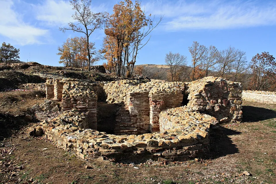
On a wooded hill above the Kosovo plain, Harilaq Fortress had its main phase in late antiquity and the early Byzantine period. Excavations from 2005 uncovered its walls, towers and a church.
Of these, Ulpiana is an archaeological park laid out for visitors, and Harilaq’s conserved walls and wide view repay the climb. Municipium Dardanorum and Vendenis are archaeological sites too, but no published source describes what a visitor can see there today. Each page below says what is visible, whether it is worth the trip, and how to get there.
Sources: Wikipedia (en) — Moesia; Wikipedia (en) — Dardania (Roman province); Wikipedia (en) — Ulpiana; Wikipedia (de) — Ulpiana; Wikipedia (en) — Municipium Dardanorum; Wikipedia (en) — Vendenis; Wikipedia (en) — Harilaq Fortress
Select Show on map beside a site or town to see where it is.Scroll the list: each site or town is marked on the map as you reach it. The interactive map shows them all.
Landmarks
LandmarkWorth planning a trip around.
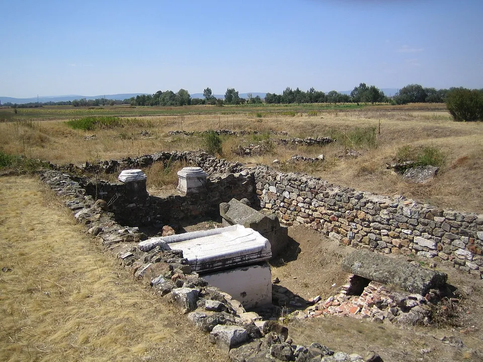
Photo: KoljaHub at German Wikipedia · CC BY-SA 2.0 de · Commons
city · Municipality of Gračanica / Graçanica
Ulpiana
What you walk through is low: walls, foundations and floors laid out in the grass, with the north gate and its two towers giving the site its character (de.wikipedia, en.wikipedia).
Show on map: Ulpiana1st – 7th c. ADUnknown1st – 7th c. ADUnknown