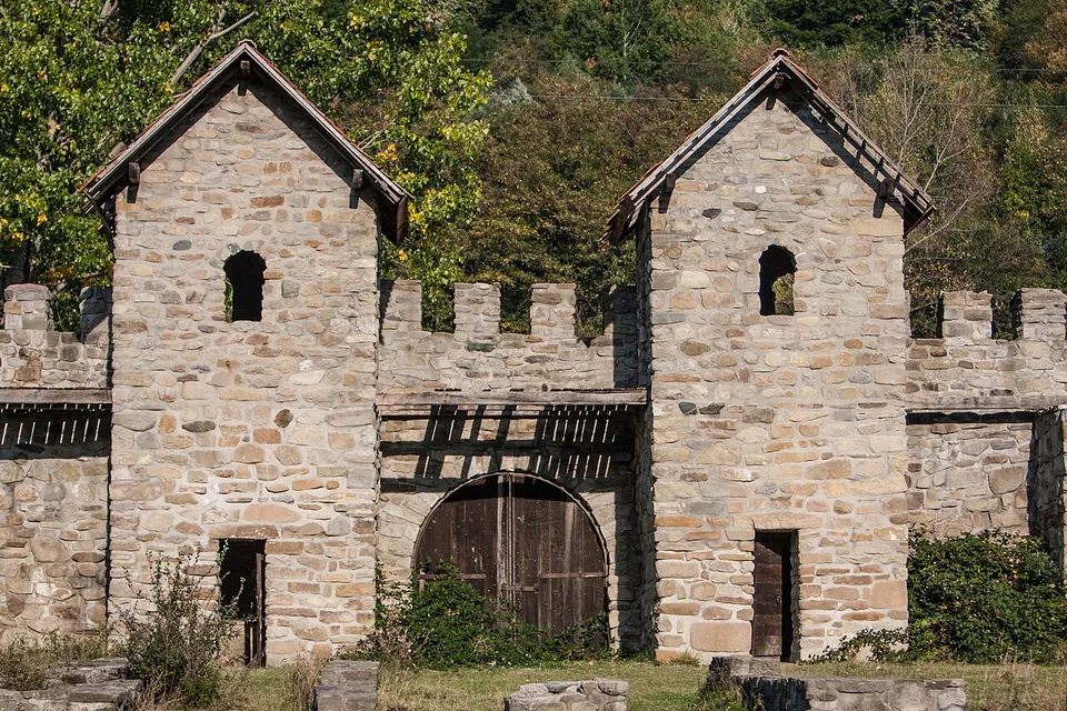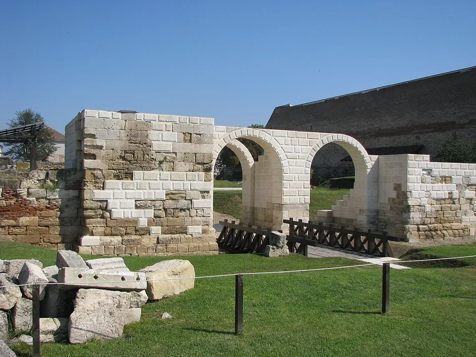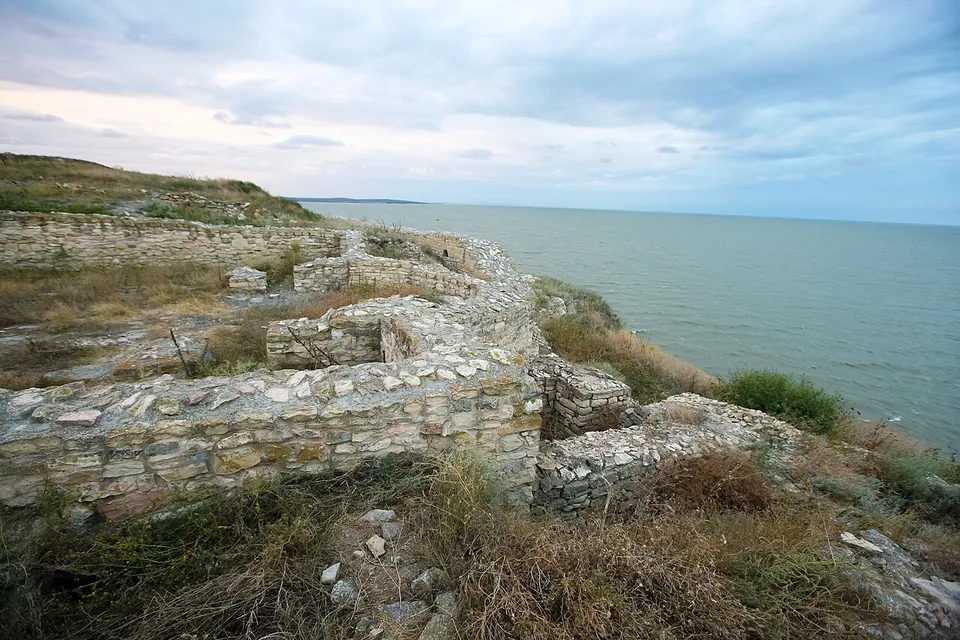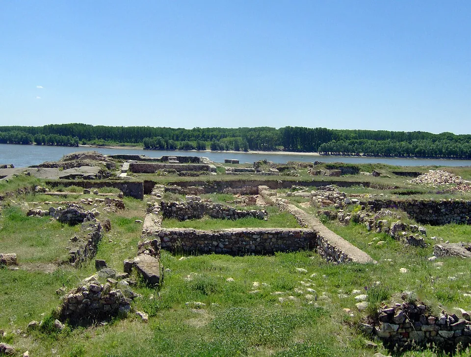
Photo: Carole Raddato from FRANKFURT, Germany · CC BY-SA 2.0 · Commons
Constanța County · Romania
Civitas Tropaensium – Adamclisi
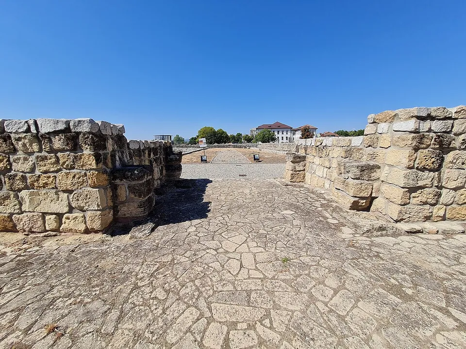
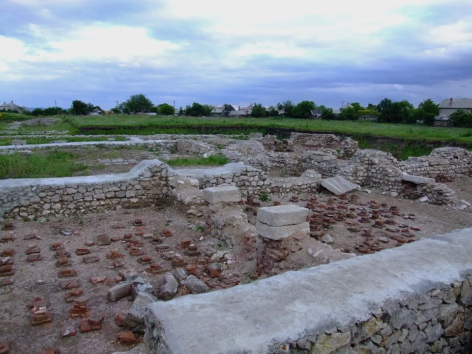
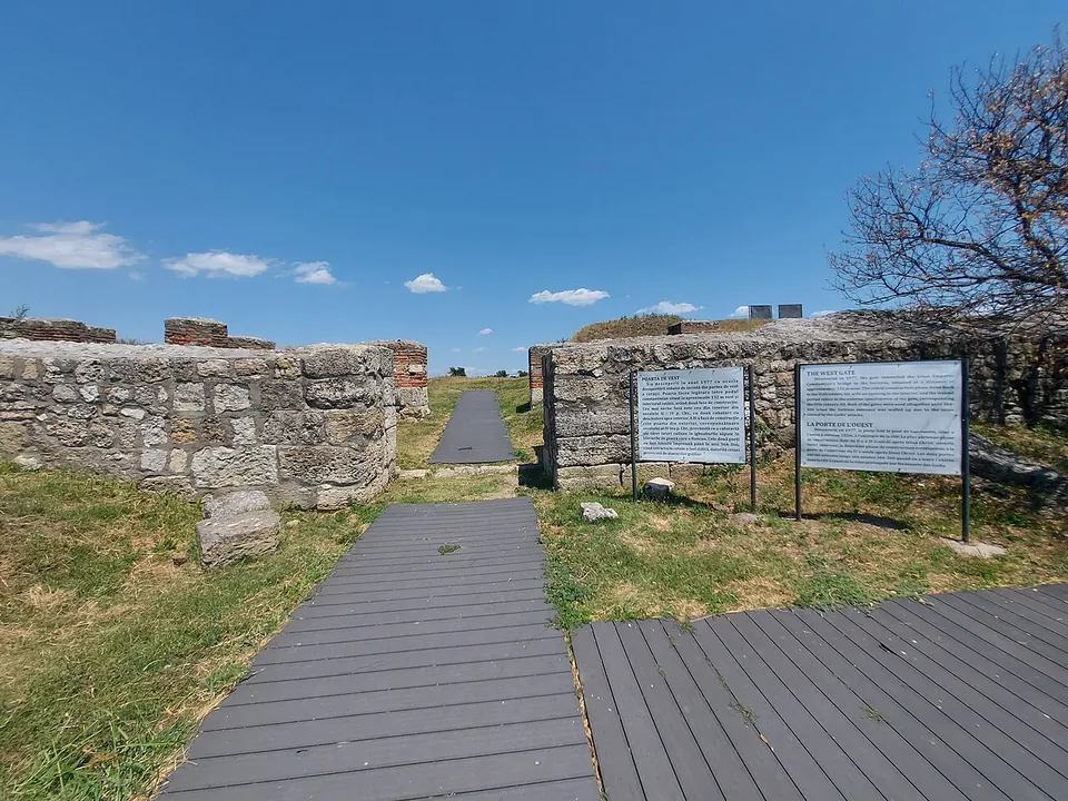
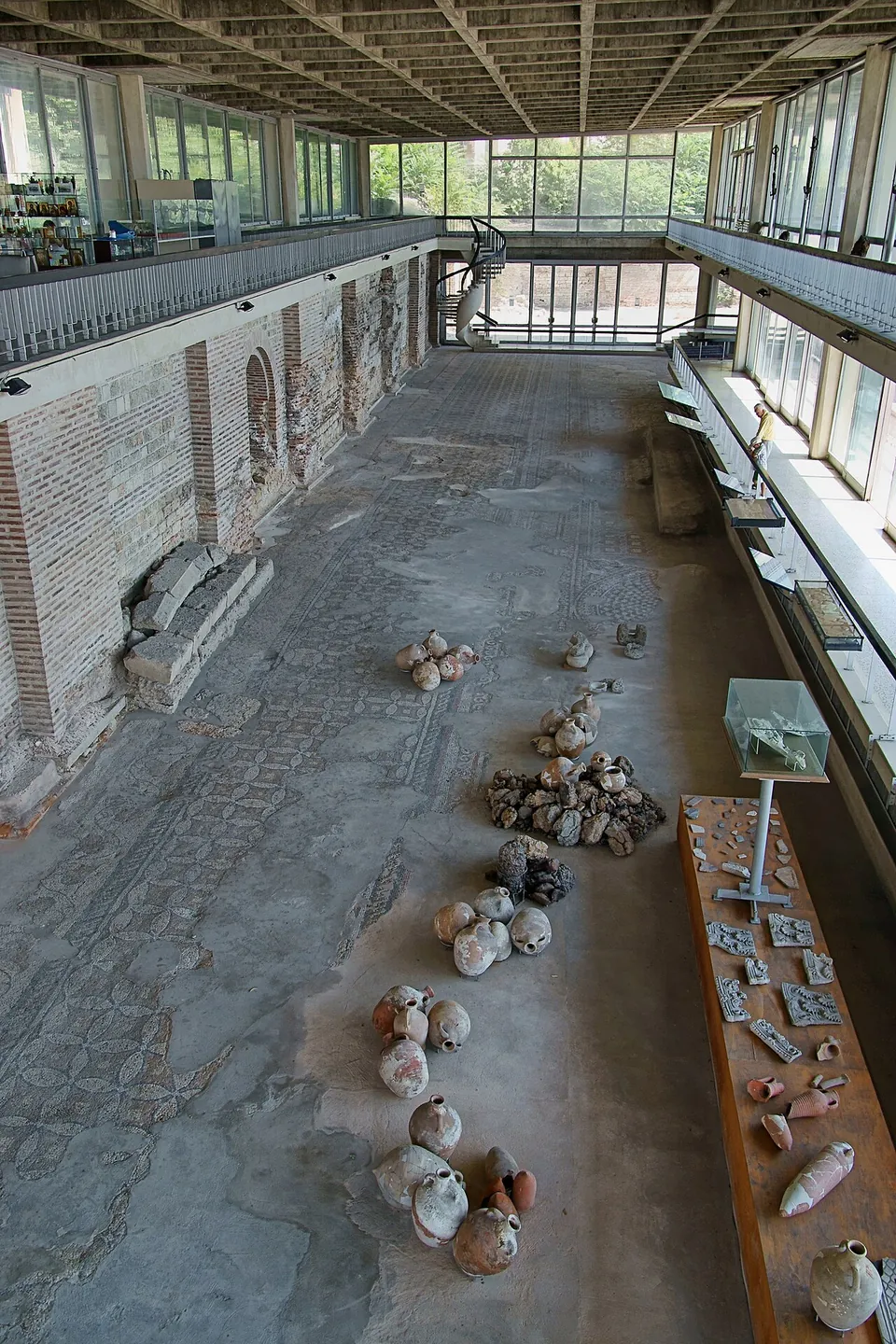
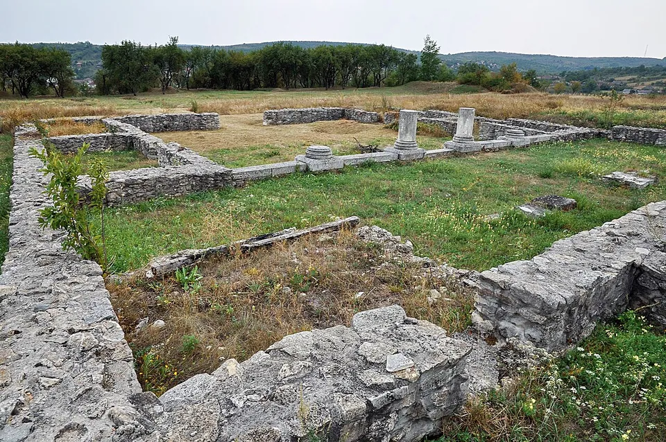
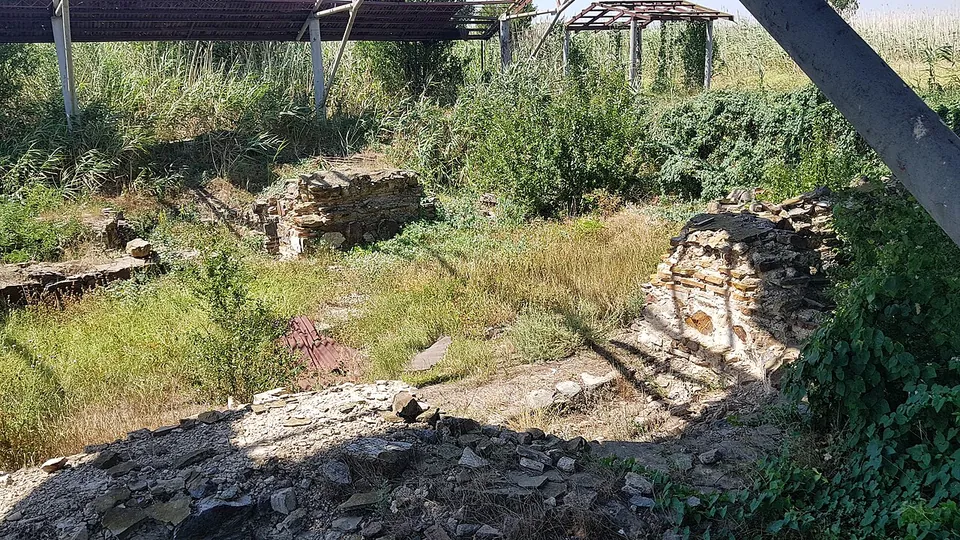
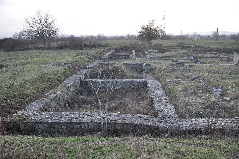
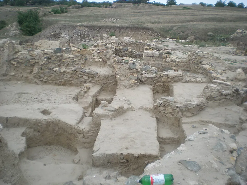
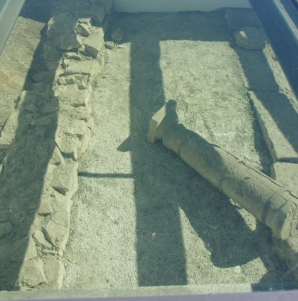
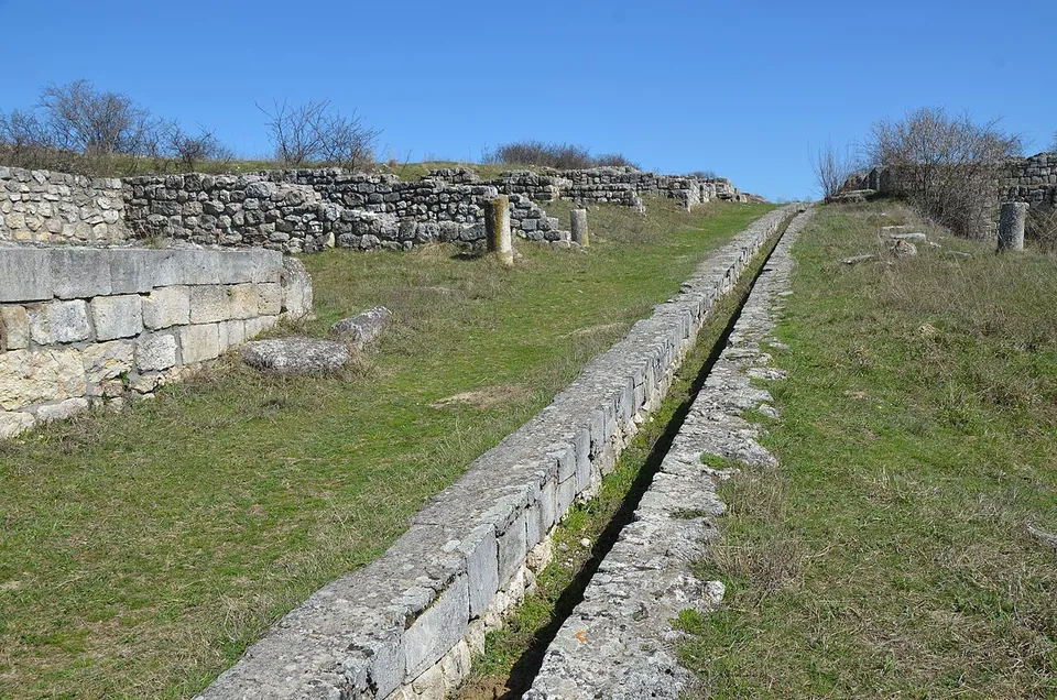
The town is an open-air ruin of walls and ground plans rather than standing buildings.
- Tropaeum Traiani · siteTicketed
Country · 21 sites · 1 hub
The Roman province of Dacia lasted less than two centuries. Trajan conquered the Dacian kingdom of Decebalus in two campaigns, and from 106 Oltenia, Transylvania and Banat formed the province of Dacia, while Crișana, Maramureș and most of Moldavia stayed outside it. Aurelian gave the province up between 271 and 275.
Dacia was a frontier province but also an urban one: about ten of its cities are known, all grown out of military camps. Ulpia Traiana Sarmizegetusa, founded in 106 and named after the Dacian capital some 30 km away, was its first and largest city. Apulum, in today’s Alba Iulia, was its military centre, the base of the Legio XIII Gemina. Porolissum, 8 km from Zalău, grew from a fort of 106 into the capital of Dacia Porolissensis and is one of the largest and best-preserved Roman sites in the country.
To carry his army across the lower Danube, Trajan needed a bridge: designed by his architect Apollodorus of Damascus and completed in 105, it crossed the river on what is now the Serbian–Romanian border. Fragmentary ruins of its piers survive.
The land between the lower Danube and the Black Sea, today’s Dobruja, stayed Roman far longer. Greek colonies such as Histria, founded by settlers from Miletus in the 7th century BC, came under Roman rule in the 1st century AD as part of Moesia. Diocletian made the region a province of its own, Scythia Minor, with its capital at Tomis, today’s Constanța; most of its forts date from the Tetrarchy or the Constantinian dynasty, and it lasted until about 680. Near Adamclisi, Trajan’s Trophy (Tropaeum Traiani) was raised in 109 to commemorate his victory over the Dacians.
Each page below says what is visible at the site today, whether it is worth the trip, and how to get there.
Sources: Wikipedia (en) — Roman Dacia; Wikipedia (en) — Ulpia Traiana Sarmizegetusa; Wikipedia (en) — Apulum (castra); Wikipedia (en) — Porolissum; Wikipedia (en) — Trajan's Bridge; Wikipedia (en) — Histria (ancient city); Wikipedia (en) — Scythia Minor; Wikipedia (en) — Tropaeum Traiani
Select Show on map beside a site or town to see where it is.Scroll the list: each site or town is marked on the map as you reach it. The interactive map shows them all.
Several sites in or around one town, all seen from one base.
Photo: Carole Raddato from FRANKFURT, Germany · CC BY-SA 2.0 · Commons
Constanța County · Romania
The town is an open-air ruin of walls and ground plans rather than standing buildings.
Worth planning a trip around.
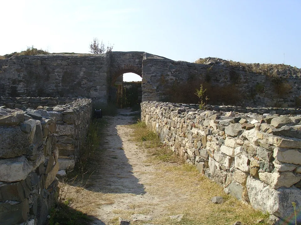
Photo: Mv ank · CC BY-SA 3.0 · Commons
city · Constanța County
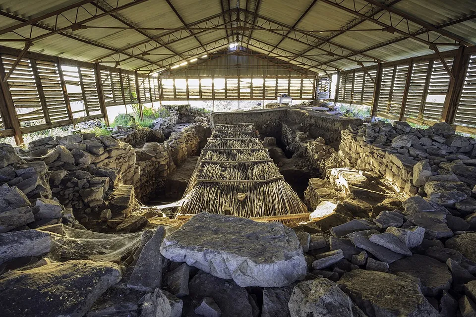
The site is two cities in one, and it helps to know which is which.
Show on map: Histria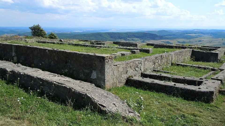
Photo: Saturnian · CC BY-SA 3.0 · Commons
fort · Sălaj County
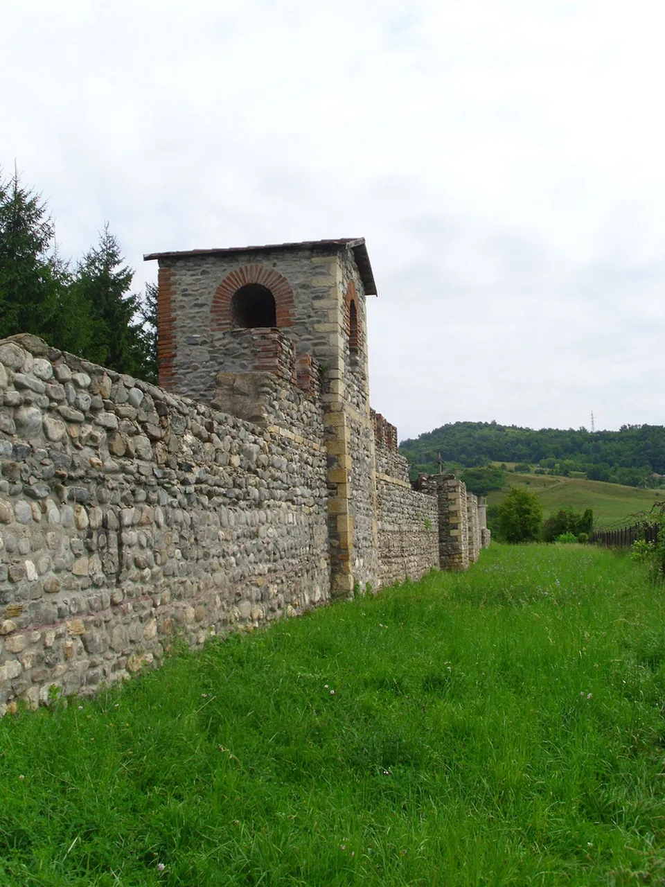
The fort on Pomet hill is one of the largest camps in Dacia, 226 by 294 m, first built with earth ramparts and rebuilt in stone; its walls are 1.5 m thick, with two ditches (en.wikipedia).
Show on map: Porolissum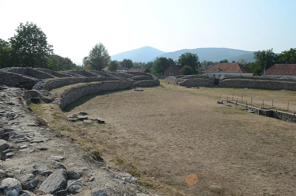
Photo: Razvan Socol · CC BY-SA 3.0 ro · Commons
city · Hunedoara County
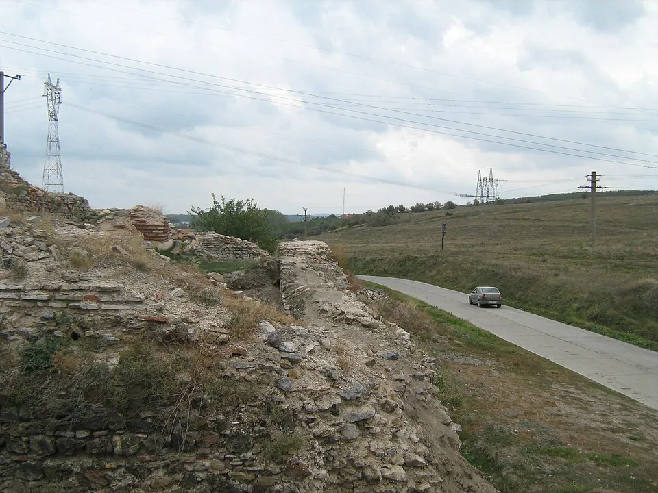
The site is an excavated Roman town.
Show on map: Ulpia Traiana Sarmizegetusa