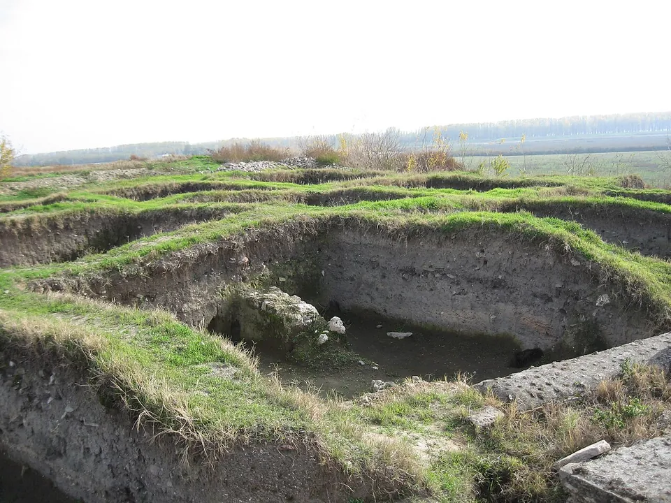
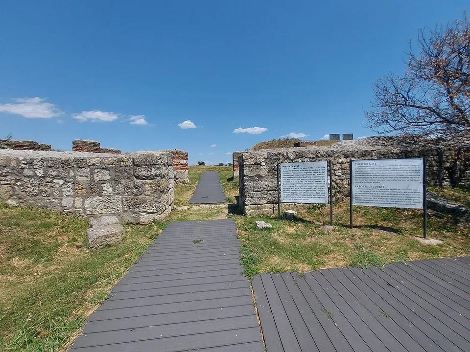
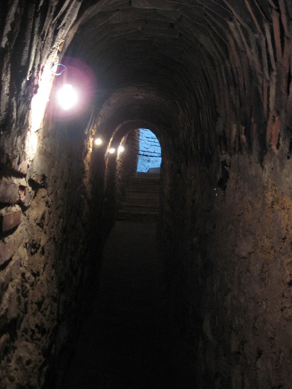


Sucidava is a late Roman fortress on the Danube at Corabia, which guarded the northern end of Constantine’s Bridge, one of the longest bridges of the ancient world. Its walls and towers, a Roman bath, an early Christian basilica and a “secret well” reached by an underground passage lie on a terrace above the river, and a pier of the bridge survives nearby.
What is there today
On the upper terrace of the Danube stand the defensive walls of the late Roman town (4th–6th centuries) with eight fully exposed towers; the Roman baths, a palaeochristian basilica of the 5th–6th centuries and paved streets have also been found (ro.wikipedia). The fortress’s “secret well” was an engineering feat of its time, meant to keep the garrison supplied with water during a siege (de.wikipedia); Italian Wikipedia describes it as an underground spring running beneath the walls to the outside.
Constantine’s Bridge. About 220 m from the fortress, OpenStreetMap maps the ruins of the Roman bridge. Constantine’s Bridge was opened on 5 July 328 in the emperor’s presence; it was 2,434 m long overall, 1,137 m of it over the riverbed, the longest ancient river bridge, and it stayed in use for about four decades (en.wikipedia). It linked Sucidava with Oescus on the far bank, in today’s Bulgaria (it.wikipedia), and one of its piers can still be seen (de.wikipedia).
Is it worth the trip?
Yes, if you are on the lower Danube: the walls and towers, the well passage and the bridge pier make a compact visit, and the site is part of the Dacian Limes World Heritage Site (de.wikipedia). No opening hours are published, so plan ahead.
Getting there
The site lies in Corabia, Olt County, on the land of the former village of Celei (ro.wikipedia), about 3.5 km from the town centre (OpenStreetMap). A car park is mapped about 120 m away, and a museum building about 90 m from the fortress (OpenStreetMap).
No operator page publishes opening hours or admission (searched 3 October 2026); the site’s former website no longer exists.
Visiting details
- Tickets
- Unknown
Before you go
- No operator page publishes opening hours or admission (searched 2026-10-03); the site's former website, cetateasucidava.ro, no longer exists.
History
Sucidava was a main centre of the Getic tribe of the Suci, and in the 2nd and 3rd centuries there was a Roman settlement here (de and ro.wikipedia). It grew from the 270s, and above all after the building of Constantine’s Bridge, whose northern end it protected (en.wikipedia). Coins found here run without a break from Aurelian (270–275) to Theodosius II (408–450). The Huns devastated the town in 443 or 447; it was rebuilt under Justin I or Justinian I, and around 600 the garrison seems to have left (it and ro.wikipedia). Among the finds are 142 published lead seals used to seal goods and documents (de.wikipedia).
Nearby
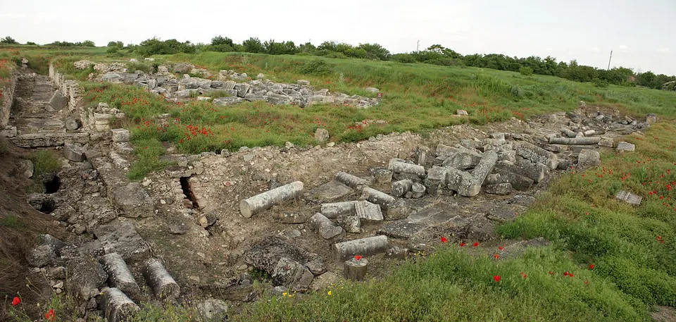
Photo: Anton Lefterov · CC BY-SA 3.0 · Commons
6 km · city · Pleven Province
Oescus
Excavation, begun in 1904, has uncovered the centre of the colony: the forum and the temples, public and private buildings, public baths and shops around it, with parts of the streets and the town walls (the Regional Historical Museum Pleven; en.wikipedia).
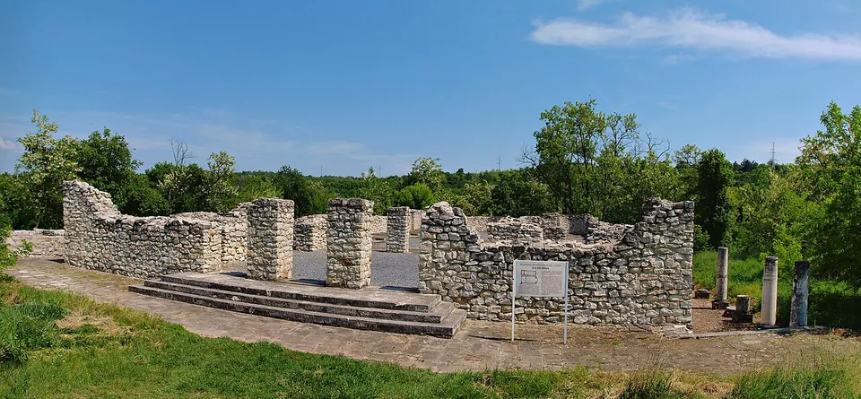
Photo: Todor Bozhinov / Тодор Божинов · CC BY-SA 3.0 · Commons
45 km · fort · Pleven Province
Storgosia
Excavation has uncovered the fortress wall with its gates and towers, houses, a public granary and an early Christian basilica (the museum; bg.wikipedia).


Straight-line distances.
Sources
Every fact on this page comes from the records below, each used under the licence noted.
| Source | Licence |
|---|---|
| Pleiades 216996 | CC BY |
| Wikidata Q1309649 | CC0 |
| OpenStreetMap way/228915438 | ODbL |
| Wikipedia (de) — Sucidava | CC BY-SA 4.0 |
| Wikipedia (ro) — Sucidava (Corabia) | CC BY-SA 4.0 |
| Wikipedia (en) — Sucidava | CC BY-SA 4.0 |
| Wikipedia (it) — Sucidava | CC BY-SA 4.0 |
| Wikipedia (en) — Constantine's Bridge (Danube) | CC BY-SA 4.0 |