

What is there today
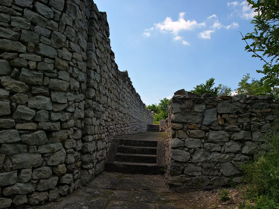
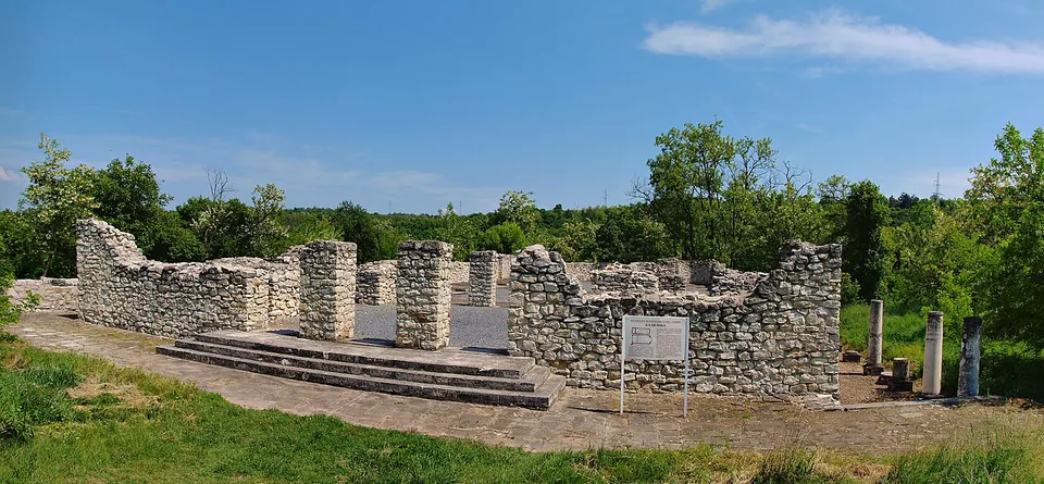
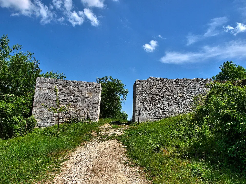
Excavation has uncovered the fortress wall with its gates and towers, houses, a public granary and an early Christian basilica (the museum; bg.wikipedia). The basilica was a large church, 45.20 m long and 22.20 m wide, with three aisles and three apses; a second church of the 4th–5th century was found at the foot of the hill (bg.wikipedia; de.wikipedia). The walls were reconstructed in 2005 with European Union funds, so much of what you see is restored masonry (de.wikipedia).
Is it worth the trip?
If you are in Pleven, yes, as a walk in the park: the ruins are open, the setting is green and a marked hiking trail starts about 400 m away (OpenStreetMap). It is a modest site, and the restoration is heavy, so it is not worth a journey on its own.
Getting there
The fortress is in Kaylaka Park, in the gorge of the Tuchenitsa river on the south side of Pleven (bg.wikipedia; de.wikipedia). Car parks are mapped about 270 m and 415 m away, and no bus stop is mapped within 800 m (OpenStreetMap). No operator publishes opening hours or a fee; the ruins lie in a public park and are mapped as open, with no fee (OpenStreetMap).
Visiting details
- Tickets
- Free
- Parking
- Car parks are mapped about 270 m and 415 m away (OSM node/7782691953 and way/987684850).
- On foot
- About 4 min from the parking
Before you go
- No operator publishes opening hours or a fee; the ruins lie in a public park and OpenStreetMap maps them as open, with no fee.
- No bus stop is mapped within 800 m.
History
Storgosia began as a Roman road station in the middle of the 1st century, taking the name of a Thracian settlement (the museum). It stood on ground in what is now the centre of Pleven, and a garrison drawn from the legion I Italica at Novae was based there (bg.wikipedia). After the Gothic raids that began in 238, the people moved south to the naturally protected gorge, and early in the 4th century 3.1 ha there were enclosed by a wall 2.20 m thick, of rubble set in white mortar (bg.wikipedia).
The basilica was built between the 4th and the first half of the 5th century and rebuilt in the 6th; in the Middle Ages a new church, houses and a cemetery were built over it (bg.wikipedia). Pottery, weapons and coins show that the fortress lasted until the end of the 6th century, when the Slavs settled the region (bg.wikipedia; de.wikipedia). Under Ottoman rule, probably in the 16th century, its stones were taken to build a wall round the Turkish barracks in Pleven (en.wikipedia).
Nearby
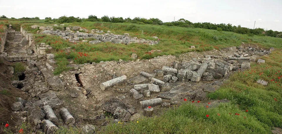
Photo: Anton Lefterov · CC BY-SA 3.0 · Commons
39 km · city · Pleven Province
Oescus
Excavation, begun in 1904, has uncovered the centre of the colony: the forum and the temples, public and private buildings, public baths and shops around it, with parts of the streets and the town walls (the Regional Historical Museum Pleven; en.wikipedia).
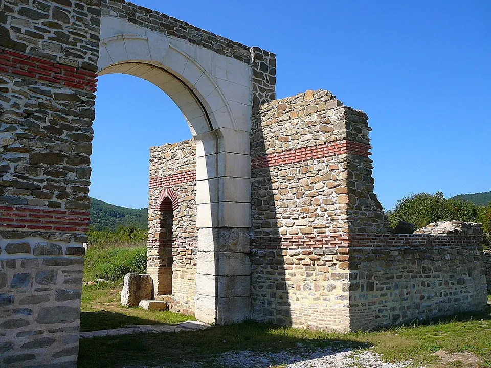
Photo: Elena Chochkova · CC BY-SA 3.0 · Commons
44 km · fort · Lovech Province
Sostra
The fort was rebuilt more than once, and both versions show: the first fort of about 147 had walls rounded at the corners and no towers, while the fort rebuilt from 254 stood inside the old walls and had many towers, as later Roman forts did (en.wikipedia).
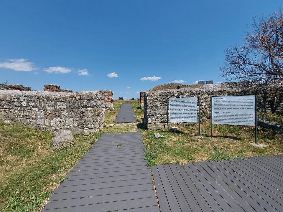
Photo: MSClaudiu · CC BY-SA 4.0 · Commons
45 km · fort · Olt County
Sucidava
On the upper terrace of the Danube stand the defensive walls of the late Roman town (4th–6th centuries) with eight fully exposed towers; the Roman baths, a palaeochristian basilica of the 5th–6th centuries and paved streets have also been found (ro.wikipedia).


Straight-line distances.
Sources
Every fact on this page comes from the records below, each used under the licence noted.
| Source | Licence |
|---|---|
| Pleiades 216992 | CC BY |
| Wikidata Q743271 | CC0 |
| OpenStreetMap way/117948219 | ODbL |
| Wikipedia (bg) — Сторгозия | CC BY-SA 4.0 |
| Wikipedia (de) — Storgosia | CC BY-SA 4.0 |
| Wikipedia (en) — Storgosia | CC BY-SA 4.0 |
| Regional Historical Museum Pleven — archaeological sites | licence not recorded |