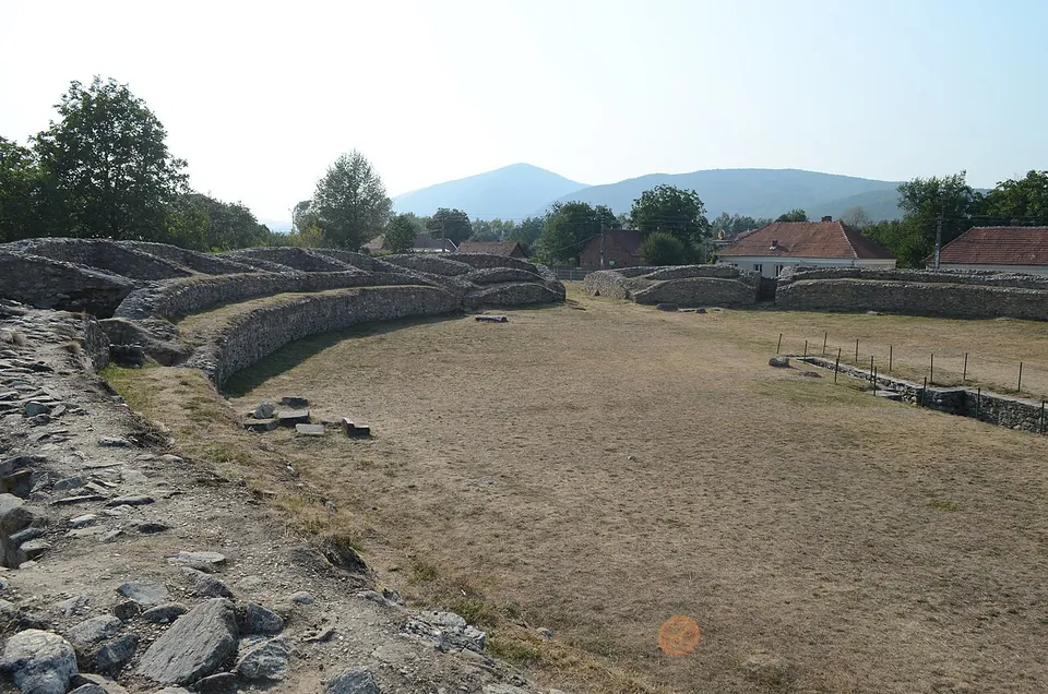
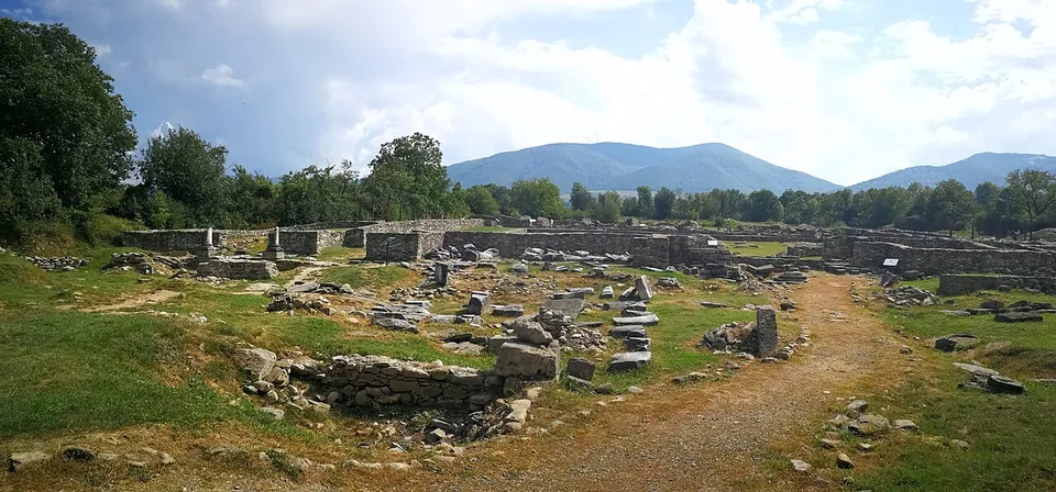


Ulpia Traiana Sarmizegetusa was the first and largest city of Roman Dacia and its capital, founded by Trajan after the conquest in 106. Its ruins lie in open fields at the edge of the village of Sarmizegetusa, about 17 km from Hațeg: an amphitheatre, the forum and a cluster of temples, laid out as low walls and foundations.
What is there today
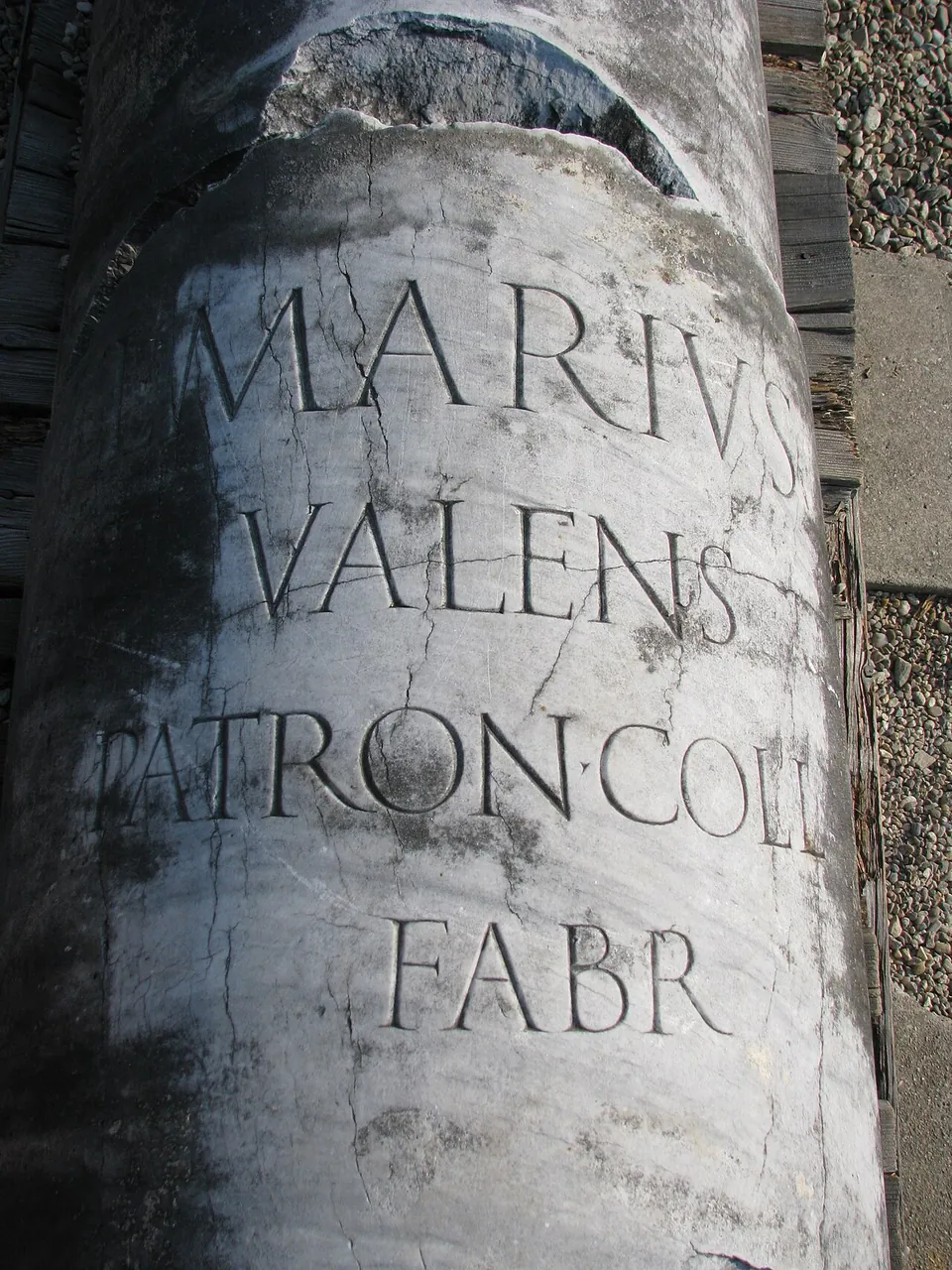
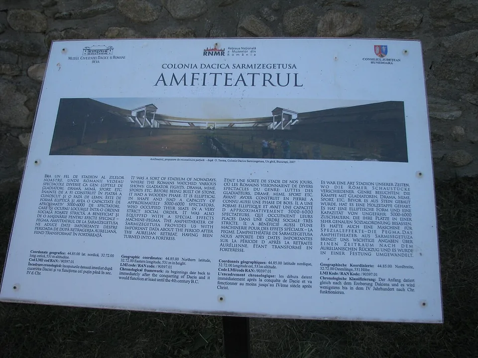
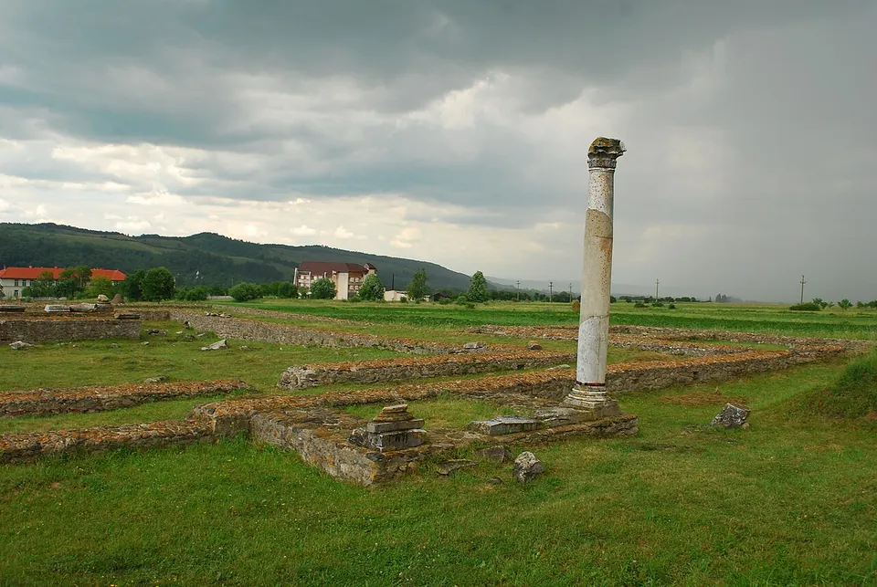
The site is an excavated Roman town. Its most imposing building, the amphitheatre, held about 5,000 people (ro.wikipedia); its oval of walls survives, and it was first built of wood and rebuilt in stone in the second half of the 2nd century (en.wikipedia). The walled town had its forum and public buildings at the centre; outside the walls, to the north, lay the amphitheatre, with a sacred area of temples and sanctuaries to its east and baths to its south. The remains on show include temples of Nemesis, Liber Pater, Aesculapius and Hygieia, Mithras, Silvanus and the gods of Palmyra and the Great Temple, a temple basilica, baths, a gladiator school, glassmakers’ workshops, a granary (horreum) and the office of the province’s financial procurator (en.wikipedia). The photographs show mostly low walls and foundations; in one, a single column stands at the Great Temple.
Much of the town has never been excavated, and the present village is built over parts of it (en and ro.wikipedia). The archaeological museum nearby, founded in 1924, holds what the excavations found (ro.wikipedia). With the rest of the Dacian Limes, the site became a UNESCO World Heritage Site in 2024 (de.wikipedia).
Is it worth the trip?
Yes, if the Roman capital of Dacia means something to you: no medieval or modern town was built on top of it (hu.wikipedia), so the plan of the city lies open in the fields, and the amphitheatre and temple area are easy to read. It is a site of foundations rather than standing buildings, and it rewards a slow walk with the information boards.
The Dacian capital whose name the colony took, Sarmizegetusa Regia, is a Dacian rather than a Roman site and has no page in this atlas. It stands on a 1,200 m mountain in the Orăștie Mountains, at Grădiștea de Munte, between 30 and 43 km from here (published figures differ), and the same operator runs it, so a 7-day ticket covers both.
Getting there
The village of Sarmizegetusa is about 17 km from Hațeg (OpenStreetMap). The town was built 8 km from the Tapae pass, the Iron Gates of Transylvania, between the Retezat and Poiana Ruscă mountains (en.wikipedia). No car park, bus stop or railway station is mapped within 300 m of the forum.
The site and its museum are run by the Museum of Dacian and Roman Civilisation in Deva (MCDR). They open Tuesday to Sunday, 10.00 to 18.00 in summer and 09.00 to 17.00 in winter, and are closed on Mondays; the operator does not say on which dates the seasons change. A ticket is 30 RON, about €5.60, and 10 RON for pensioners, pupils and students; a guided tour for a group of up to 30 costs 100 RON in Romanian or 150 RON in English, and there is a photography fee of 15 RON for individuals. A 7-day ticket for all nine of the museum’s sites, Sarmizegetusa Regia among them, is 150 RON, or 50 RON reduced (mcdr.ro, read 3 October 2026).
Visiting details
- Opening hours
- Tuesday to Sunday, 10.00–18.00 in summer and 09.00–17.00 in winter; closed on Mondays. The operator does not say on which dates the seasons change.
- Tickets
- 30 RON (about €5.60); 10 RON for pensioners, pupils and students. A guided tour for a group of up to 30 is 100 RON in Romanian or 150 RON in English (about €19 and €28), and taking photographs costs 15 RON for individuals. A 7-day ticket for all nine sites of the museum, Sarmizegetusa Regia included, is 150 RON (50 RON reduced).
Before you go
- No car park, bus stop or railway station is mapped within 300 m in OpenStreetMap; the nearest town is Hațeg, about 17 km away.
Hours and prices checked 3 October 2026 on the operator's own site. Confirm before travelling.
History
An inscription found in the village of Grădiște records that the colony was settled in the first years after the conquest of Dacia in 106 by the governor Decimus Terentius Scaurianus, on Trajan’s orders. It was possibly built over a temporary camp of the Fifth Macedonian Legion and settled by veterans of the Dacian Wars, and from the start it held the rank of colonia with Italian law (ius Italicum). Under Hadrian it was renamed Colonia Ulpia Traiana Augusta Dacica Sarmizegetusa, and between 222 and 235 it was called a metropolis (en.wikipedia).
It was the seat of the governor of Dacia until about 158, when the seat moved to Apulum under Antoninus Pius. At the end of the 2nd century the town and its suburbs covered more than 130 ha, of which the walls enclosed 30-33 ha, and published estimates of its population range from 11,000 to 25,000 (en and sl.wikipedia). After Rome gave up Dacia, the population shrank drastically; a small community moved inside the amphitheatre, walled up its entrances with tombstones and survived there until the end of the 4th century (en.wikipedia).
More photographs


Nearby
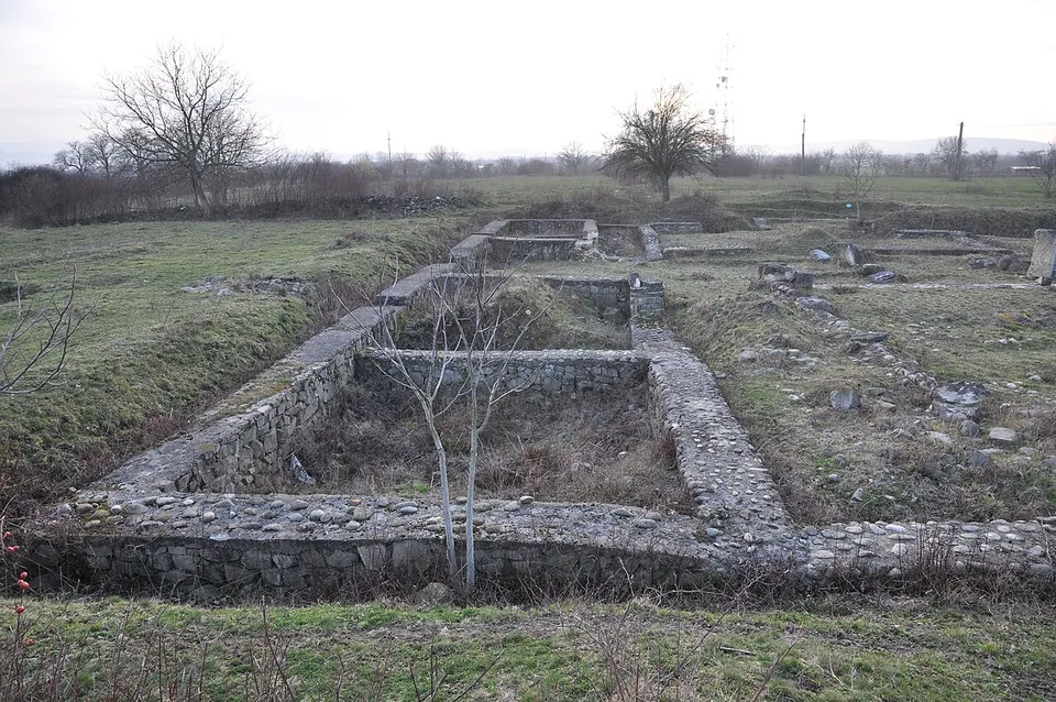
Photo: Saturnian · CC BY-SA 3.0 · Commons
47 km · fort · Caraș-Severin County
Tibiscum
The site is a reserve of 17 ha, created at the initiative of the county museum in Caransebeș, which opened an archaeological exhibition here in 1980 (the operator).

Straight-line distances.
Sources
Every fact on this page comes from the records below, each used under the licence noted.
| Source | Licence |
|---|---|
| Pleiades 207527 | CC BY |
| Wikidata Q2671791 | CC0 |
| Vici.org 11775 | CC BY-SA (text), CC0 (metadata) |
| OpenStreetMap way/480377655 | ODbL |
| Wikipedia (en) — Ulpia Traiana Sarmizegetusa | CC BY-SA 4.0 |
| Wikipedia (ro) — Ulpia Traiana Sarmizegetusa | CC BY-SA 4.0 |
| Wikipedia (de) — Ulpia Traiana Sarmizegetusa | CC BY-SA 4.0 |
| Wikipedia (hu) — Ulpia Traiana Sarmizegetusa | CC BY-SA 4.0 |
| Wikipedia (en) — Sarmizegetusa Regia | CC BY-SA 4.0 |
| Muzeul Civilizației Dacice și Romane Deva — prices (the operator) | licence not recorded |
| Muzeul Civilizației Dacice și Romane Deva — visiting hours (the operator's home page) | licence not recorded |