

Tibiscum was a Roman fort and town at the crossing of two imperial roads in the Banat, at Jupa on the edge of Caransebeș. The excavated foundations of the fort’s buildings and of part of the civil town lie in an archaeological reserve on the Timiș river, with an exhibition of finds on site.
What is there today
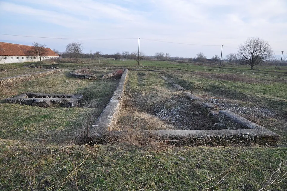
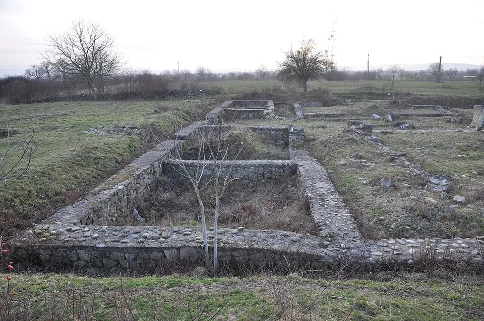
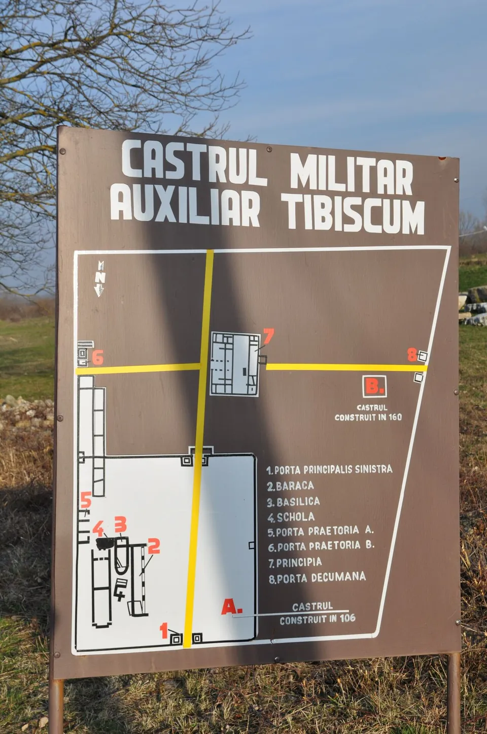
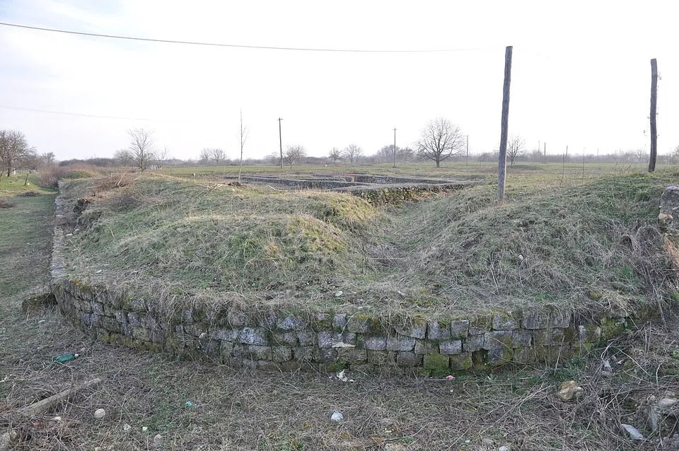
The site is a reserve of 17 ha, created at the initiative of the county museum in Caransebeș, which opened an archaeological exhibition here in 1980 (the operator). The remains of important buildings and workshops of both the fort and the civil town are visible (en.wikipedia); in the fort area two sides of the ramparts still show as banks in the ground (de.wikipedia). The photographs show consolidated low foundations in open fields, and the board at the site sets out the plan of two successive forts, the first marked as built in 106 and the larger one in 160, with their gates, barracks, basilica and headquarters (principia).
The larger stone fort probably measured about 195 by 310 m and was thoroughly renovated under Gallienus in the 3rd century; its headquarters, 35 by 45 m, were entered through a colonnaded courtyard (de.wikipedia). Fort, military village and town together covered about 27 ha, and in the 3rd century the town was one of the economically most important in the Dacian provinces, a centre of trade and of pottery making (de.wikipedia). With the rest of the Dacian Limes it became a UNESCO World Heritage Site in 2024 (de.wikipedia).
Is it worth the trip?
For readers who enjoy Roman forts, yes, if you are passing through the Banat: it is easy to reach from the main road and the plan is laid out legibly on the ground. There is nothing standing above foundation level in the photographs, so it is not a detour for a casual visitor. Finds from the site are in the museums of Timișoara and Caransebeș (de.wikipedia).
Getting there
The reserve and its exhibition of Roman finds are at the northern exit of Jupa, about 250 m from the national road, on the left bank of the Timiș (de.wikipedia). Jupa is part of Caransebeș, about 7 km from the town centre (OpenStreetMap). No car park, bus stop or railway station is mapped within 300 m.
The county museum in Caransebeș (Muzeul Județean de Etnografie și al Regimentului de Graniță, Piața I. Dragalina 2), at whose initiative the reserve was created, publishes no opening hours or admission for it on its site (searched 3 October 2026); ask the museum before making a special trip.
Visiting details
- Tickets
- Unknown
Before you go
- The county museum in Caransebeș, at whose initiative the archaeological reserve was created, publishes no opening hours or admission for it on its site (searched 2026-10-03).
- No car park, bus stop or railway station is mapped within 300 m in OpenStreetMap.
History
Ptolemy mentions Tibiscum as a Dacian town (en.wikipedia). The Romans built a series of forts here, first in earth and timber and then in stone, at the junction of the roads from Ulpia Traiana Sarmizegetusa to Dierna and to Lederata (en and de.wikipedia). The settlement beside the fort grew into a town, probably made a municipium under Septimius Severus and recorded as the municipium Tibiscensium under Gallienus (253–268) (ro.wikipedia). It played a part in the Romanisation of the local population and is held to be one of the starting points of Christian missions in Dacia (de.wikipedia).
More photographs

Nearby
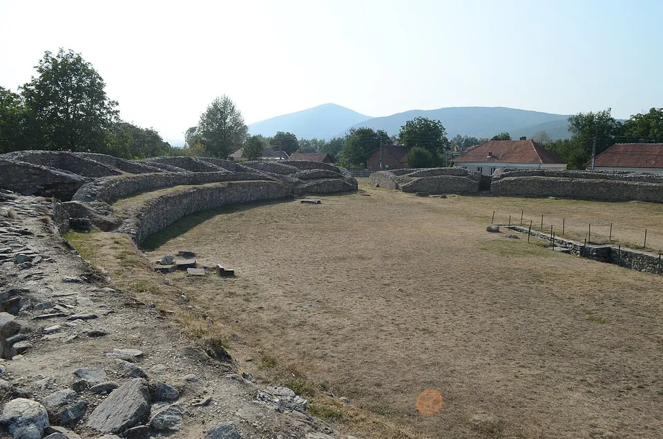
Photo: Razvan Socol · CC BY-SA 3.0 ro · Commons

Straight-line distances.
Sources
Every fact on this page comes from the records below, each used under the licence noted.
| Source | Licence |
|---|---|
| Pleiades 207495 | CC BY |
| Wikidata Q404655 | CC0 |
| OpenStreetMap way/240862167 | ODbL |
| Wikipedia (en) — Tibiscum | CC BY-SA 4.0 |
| Wikipedia (de) — Tibiscum | CC BY-SA 4.0 |
| Wikipedia (ro) — Tibiscum | CC BY-SA 4.0 |
| Muzeul Județean de Etnografie și al Regimentului de Graniță Caransebeș — history of the museum and the Tibiscum reserve (the operator) | licence not recorded |