

Noviodunum was the main base of Rome’s Danube fleet and a legionary fortress, with a Roman town around them, on a promontory above the river about 2 km from Isaccea. Archaeologists have exposed a long stretch of its southern wall with three towers, one of them among the largest the Romans built, but the site is an excavation that has not yet been laid out for visitors.
What is there today
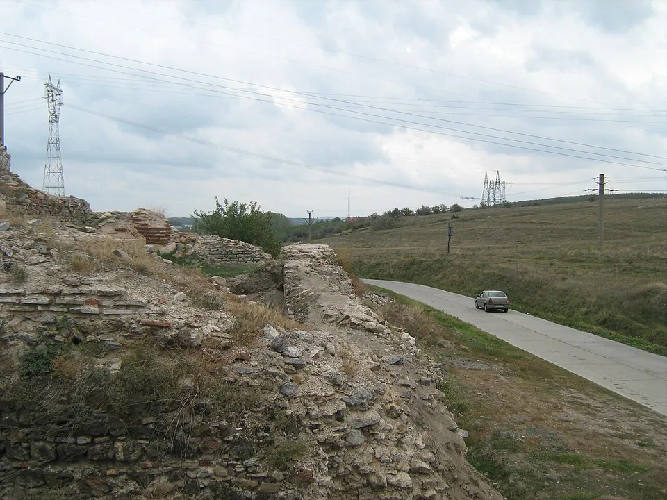
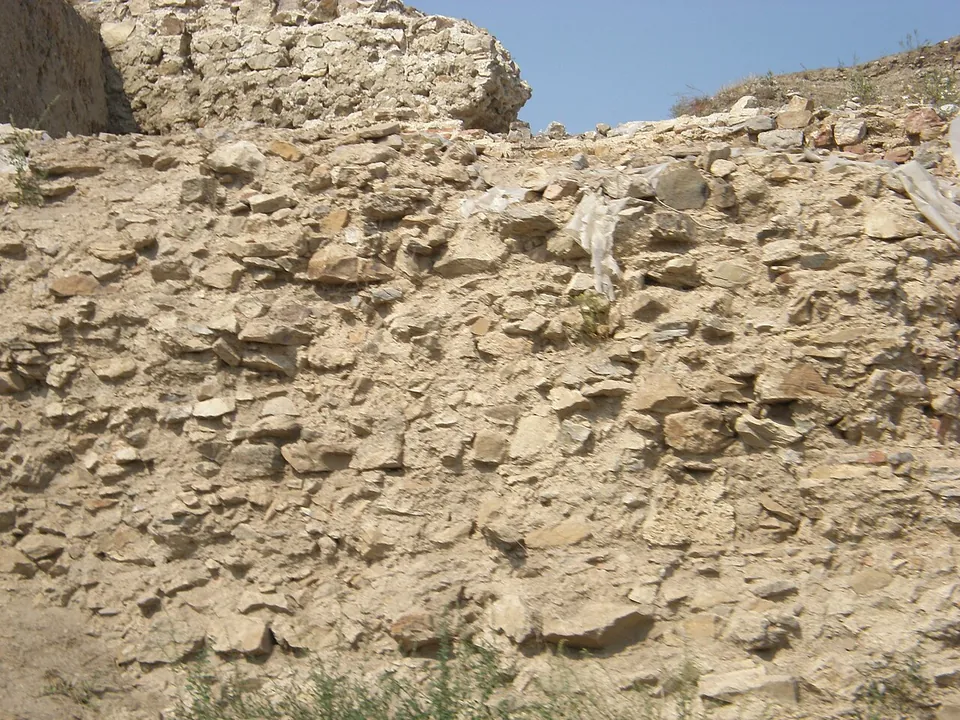
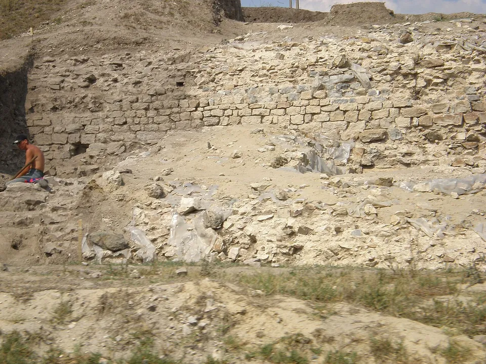
The walls enclose about 9 ha in two separate parts: one, dating at least from before the 4th century, held the headquarters of the Danube fleet; the other is the walled town of the late 2nd century (en.wikipedia). In the 1990s excavators uncovered three towers on the southern wall: a fan-shaped corner tower, a U-shaped tower and the “Large Tower”, one of the largest towers the Romans ever built. A curtain wall almost 3 m wide joins them over 80 m (en.wikipedia). Photographs show high stretches of rough stone wall with bands of brick, standing beside a road.
A second civil settlement of at least 7 ha probably lay inside three large earth ramparts (en.wikipedia). To the south-west, the burial mounds of the town’s cemetery line the ancient roads that led out of it (ro.wikipedia). Thirty of them, about half, have been excavated, and they date from the late 1st to the late 2nd century (the research team).
Is it worth the trip?
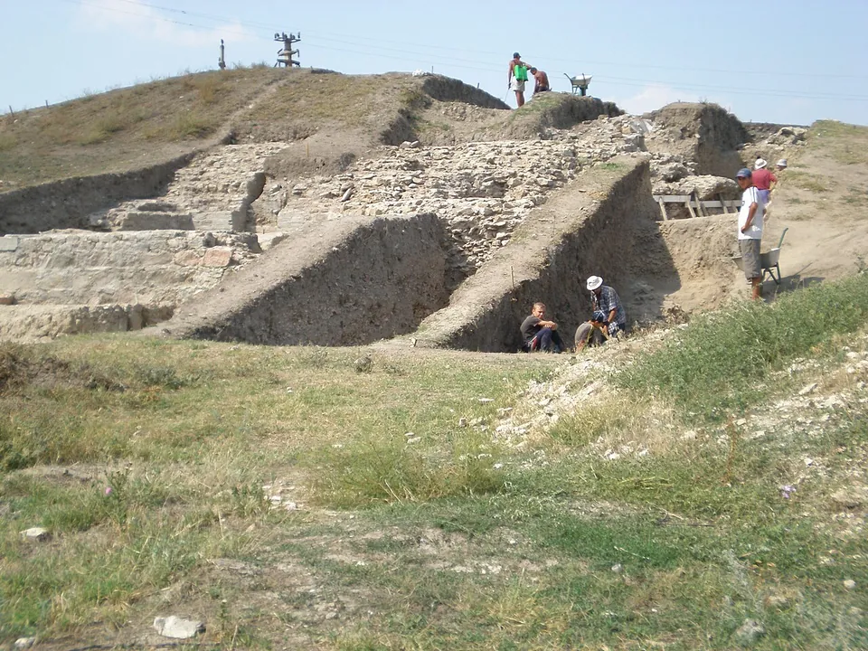
For enthusiasts on the road between Tulcea and Galați. The Roman walls are big, but this is a working excavation: no operator publishes opening hours, and no source records signs or visitor facilities. The research team describes restoring the walls and bringing the site into the tourist circuit as a later stage of its programme.
Getting there
The fortress stands at the place called Pontonul Vechi or Eski Kale (“Old Fortress” in Turkish), on a promontory by one of the main fords of the lower Danube, about 2 km from Isaccea (the research team). Isaccea is on the E87/DN22 road between Tulcea and Galați, about 35 km north-west of Tulcea (the research team). An asphalt road passes about 130 m from the site and a gravel road about 100 m (OpenStreetMap). No bus stop or railway station is mapped nearby.
No operator publishes opening hours or admission (searched 3 October 2026).
Visiting details
- Tickets
- Unknown
Before you go
- No operator publishes opening hours or admission (searched 2026-10-03). The site is under excavation; the research team describes opening it to tourists as a later stage of its programme.
- No bus stop or railway station is mapped near the site; it lies about 2 km east of Isaccea.
History
Noviodunum came under Roman control in 46, when Thrace was annexed (en.wikipedia); the research team dates the start of its growth to the annexation of Dobruja to Moesia Inferior under Vespasian. It became the main port of the Danube fleet, the Classis Flavia Moesica, under Domitian and after Trajan’s conquest of Dacia (en.wikipedia). Detachments of the Fifth Macedonian Legion were stationed here at least until the reign of Marcus Aurelius, and then of the First Italian Legion (en.wikipedia). The civil settlement became a municipium in the late 2nd century (en.wikipedia).
The town was probably destroyed during the invasions of the Goths and Heruli in the second half of the 3rd century. Under Diocletian the First Jovian Legion (Legio I Iovia) was raised and based here, and the fortress was rebuilt under Constantine the Great after 324 (en.wikipedia). In 369 the emperor Valens crossed the Danube from Noviodunum and defeated Athanaric and the Tervingi. The Huns held the town between 434 and 441; it then returned to Roman rule and survived into the 7th century (en.wikipedia).
The place lived on. Before the Tatar invasion of 1241 it had become a Byzantine town, and it remained inhabited near the fortress until the Ottoman conquest in 1420 (ro.wikipedia). From the 10th century the name Isaccea replaces Noviodunum in the records (ro.wikipedia).
More photographs

Nearby
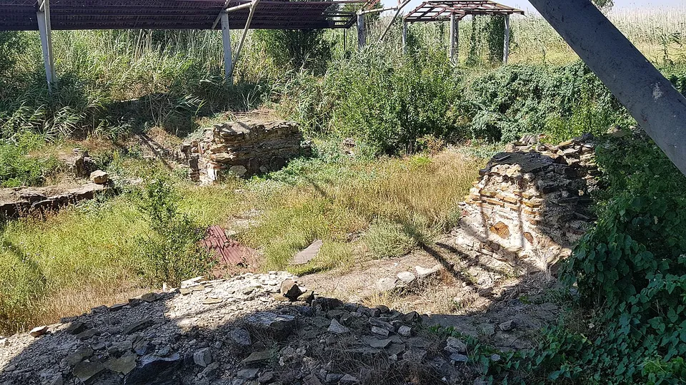
Photo: Leontin l · CC BY-SA 4.0 · Commons
30 km · fort · Tulcea County
Dinogetia
The fortress covers about 7,800 m², an irregular plan that follows the shape of the hill (de.wikipedia).

Straight-line distances.
Sources
Every fact on this page comes from the records below, each used under the licence noted.
| Source | Licence |
|---|---|
| Pleiades 216900 | CC BY |
| Wikidata Q3373059 | CC0 |
| OpenStreetMap way/35419110 | ODbL |
| Situl arheologic Noviodunum (the research team's site) | licence not recorded |
| Wikipedia (en) — Noviodunum ad Istrum | CC BY-SA 4.0 |
| Wikipedia (ro) — Castrul roman Noviodunum | CC BY-SA 4.0 |