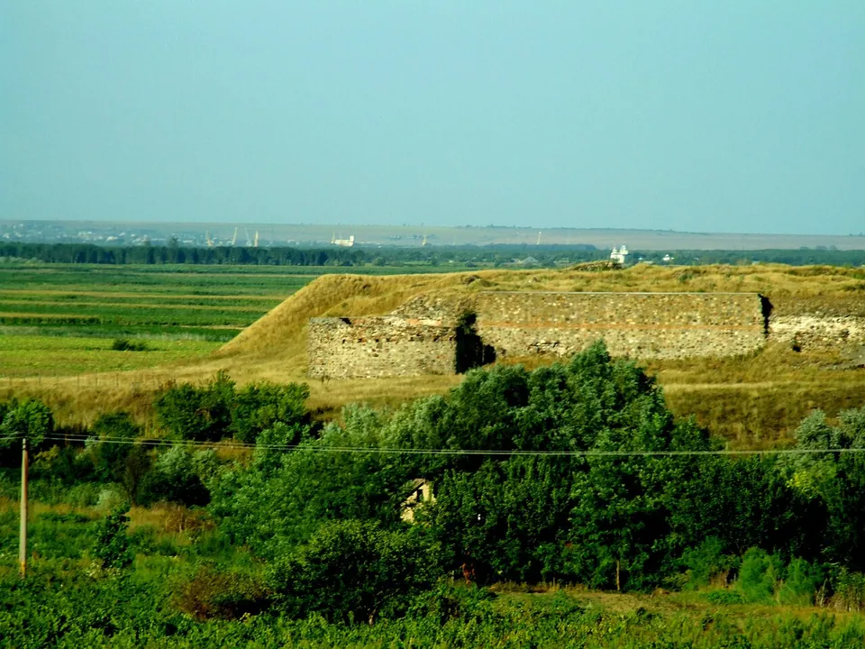
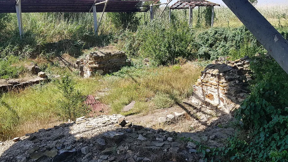
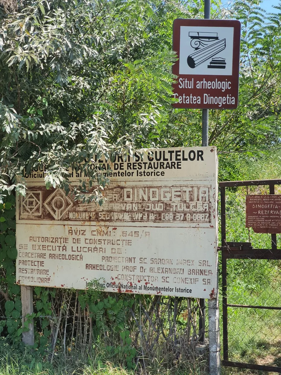


Dinogetia is a late Roman frontier fortress on a rocky spur above the Danube plain in northern Dobruja, across the river from Galați. Its walls, nearly 3 m thick, with their round towers, still outline the fort on the hill, and inside them lie the excavated foundations of a basilica, a large house and a building identified as the praetorium, with the fort’s bath outside the walls.
What is there today
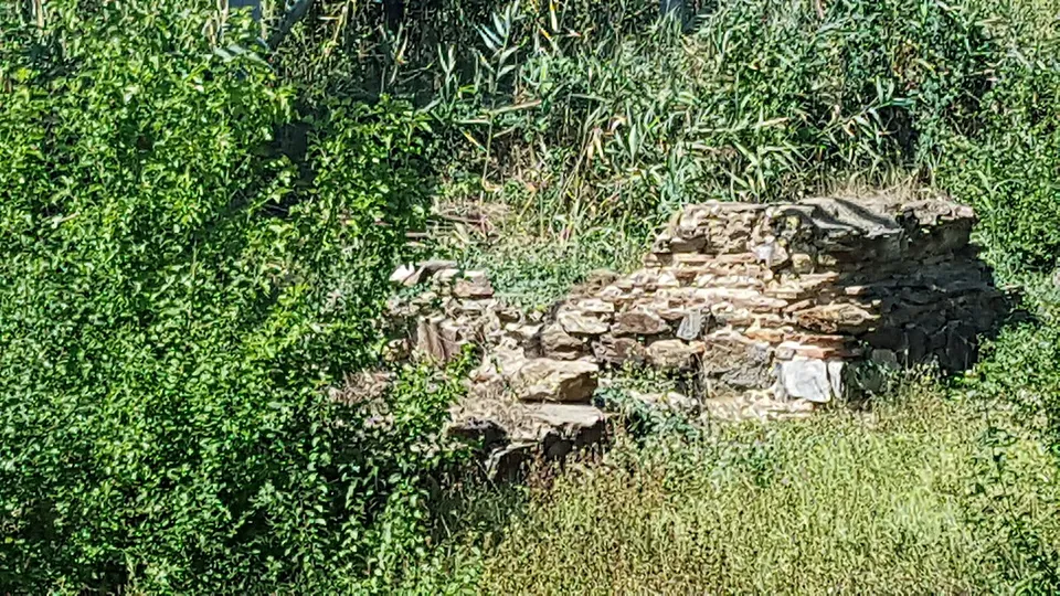
The fortress covers about 7,800 m², an irregular plan that follows the shape of the hill (de.wikipedia). Its wall, probably built under Diocletian and about 3 m wide, had horseshoe-shaped towers; published counts give twelve or fourteen (de and en.wikipedia). The main gate, on the gentle south-eastern slope, was flanked by two horseshoe-shaped towers, with a third, almost square tower over the entrance inside. Inside the walls are a 4th-century basilica in the southern corner, a large house (domus) and a building identified as the praetorium; outside the walls, about 100 m away, lies the bath, about 25 by 18.5 m, which stayed in use into the early Byzantine period (en and de.wikipedia). The remains have been exposed since 1939 and nothing has been built over them (de.wikipedia).
The site is also a Byzantine one: the fort was reoccupied after 971 as the base of a Byzantine garrison until the 12th century, and a 9th-century church is among the remains (en.wikipedia). The circuit of wall and towers that outlines the hill was built in the late Roman period.
Is it worth the trip?
For those who like late Roman forts, yes: the circuit of walls on its spur, with long views over the plain, is easy to read. Much of the interior is overgrown in the recent photographs, and there are no visitor facilities recorded, so it is a short stop rather than a destination.
Getting there
The site lies in northern Dobruja, 8–10 km from Galați across the Danube (published figures differ), near the village of Garvăn in Jijila commune (en and de.wikipedia). The river has moved away since antiquity; published figures put it 2–10 km off. No car park, bus stop or railway station is mapped within 300 m.
No operator publishes opening hours or admission for the site (searched 3 October 2026).
Visiting details
- Tickets
- Unknown
Before you go
- No operator page publishes opening hours or admission for the site (searched 2026-10-03).
- No car park, bus stop or railway station is mapped within 300 m in OpenStreetMap.
History
A Geto-Dacian settlement here was taken by the Romans and turned into a frontier fort, first a small castellum on the Moesian Limes; finds of the 1st to 3rd centuries point to an earlier Roman fort whose exact site is not known (en.wikipedia). After Rome gave up Dacia in the 270s, the fort’s position at the north-western corner of Dobruja made it part of the new Danube defences, and it was largely rebuilt under Diocletian; Anastasius and Justinian later strengthened its walls (en.wikipedia). Its garrisons included the Fifth Macedonian Legion and, in the 4th century, the Legio I Iovia (en.wikipedia).
The Kutrigur raid led by Zabergan in 559 hit the fortress hard, and it was held until the Avar raids of 596/597 (en and de.wikipedia). After the Byzantine reconquest of 971 it was resettled for about two hundred years and was finally abandoned, perhaps in 1186 (en.wikipedia).
More photographs

Nearby
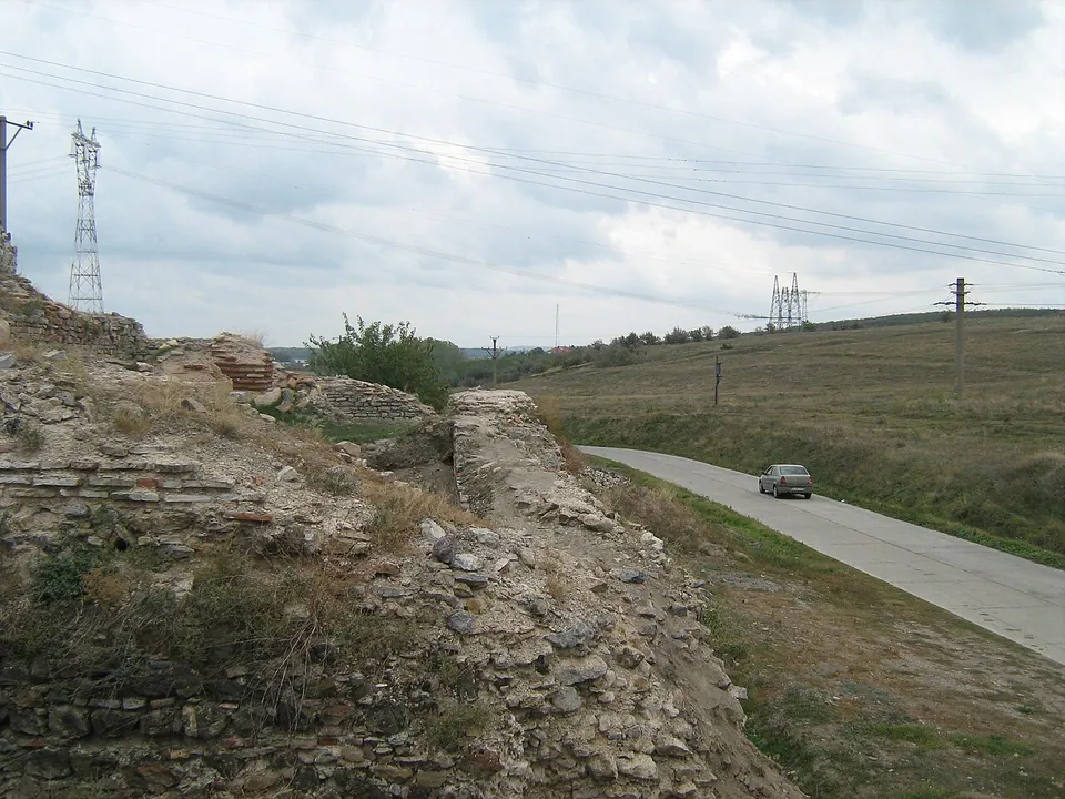
Photo: Mixolidic · CC BY-SA 3.0 · Commons
30 km · fort · Tulcea County
Noviodunum
The walls enclose about 9 ha in two separate parts: one, dating at least from before the 4th century, held the headquarters of the Danube fleet; the other is the walled town of the late 2nd century (en.wikipedia).

Straight-line distances.
Sources
Every fact on this page comes from the records below, each used under the licence noted.
| Source | Licence |
|---|---|
| Pleiades 216791 | CC BY |
| Wikidata Q838538 | CC0 |
| OpenStreetMap way/57683048 | ODbL |
| Wikidata — Castra Dinogetia (Q5278587, the fort) | licence not recorded |
| Wikipedia (en) — Dinogetia | CC BY-SA 4.0 |
| Wikipedia (de) — Dinogetia | CC BY-SA 4.0 |