Country · 23 sites
Roman Switzerland
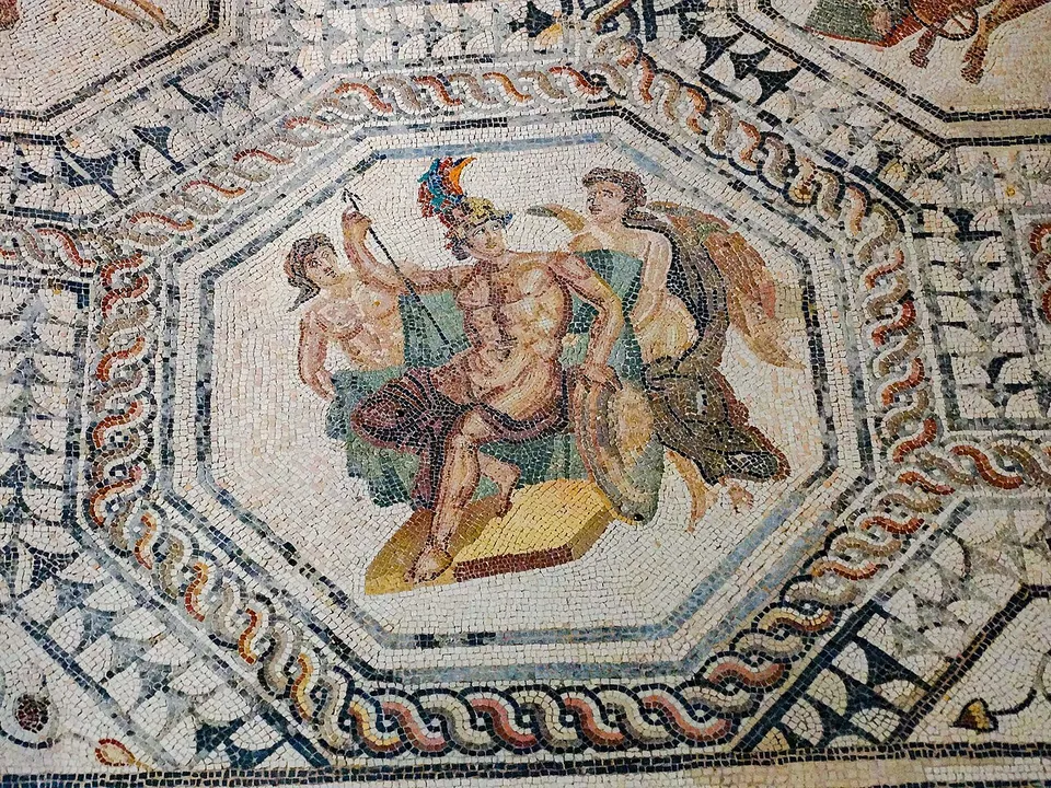
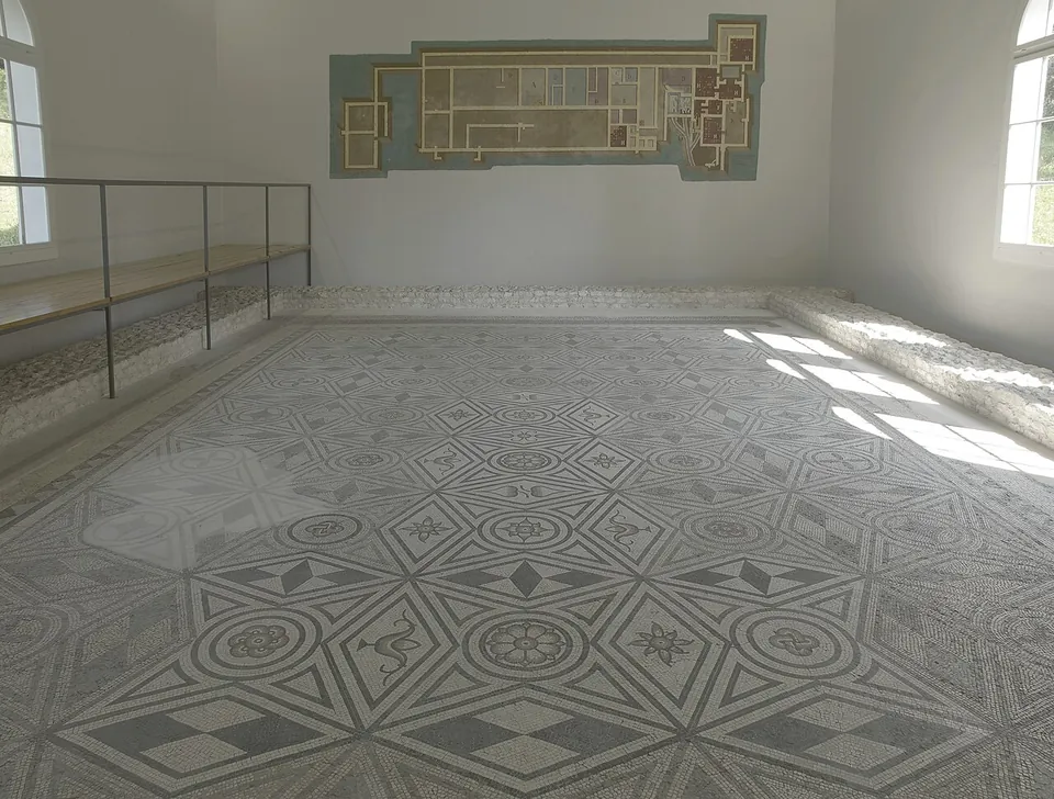
Aventicum, beside the modern town of Avenches, was the capital of the Civitas Helvetiorum, the Roman territory of the Helvetii, and in the 1st to 3rd centuries AD the largest town on what is now Swiss soil. Vespasian, who had grown up there, raised it to a colonia in AD 72. Finds from its excavations are shown in the Roman museum in the tower over the amphitheatre’s main entrance.
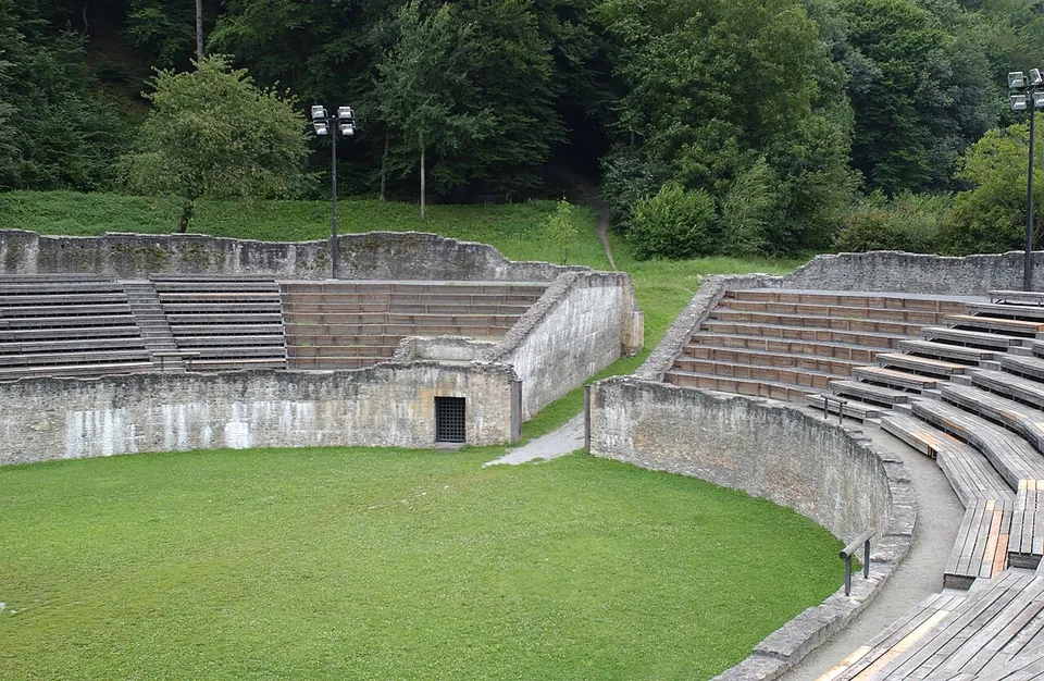
On the south bank of the Rhine east of Basel, Augusta Raurica was the oldest known Roman colony on the river. Its remains, spread over the villages of Augst and Kaiseraugst, are now an archaeological site and open-air museum. Between the Aare and the Reuss, the legionary camp of Vindonissa, at today’s Windisch, housed three legions in turn between AD 14 and 101. In the Valais, Forum Claudii Vallensium, now Martigny, has a small amphitheatre built early in the 2nd century, which today hosts open-air cinema in summer and cow fights.
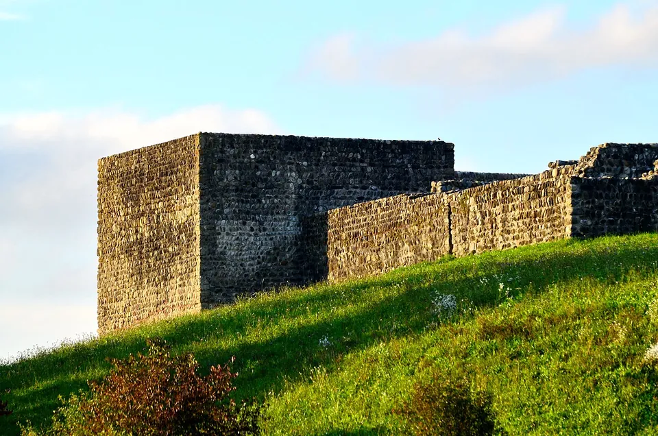
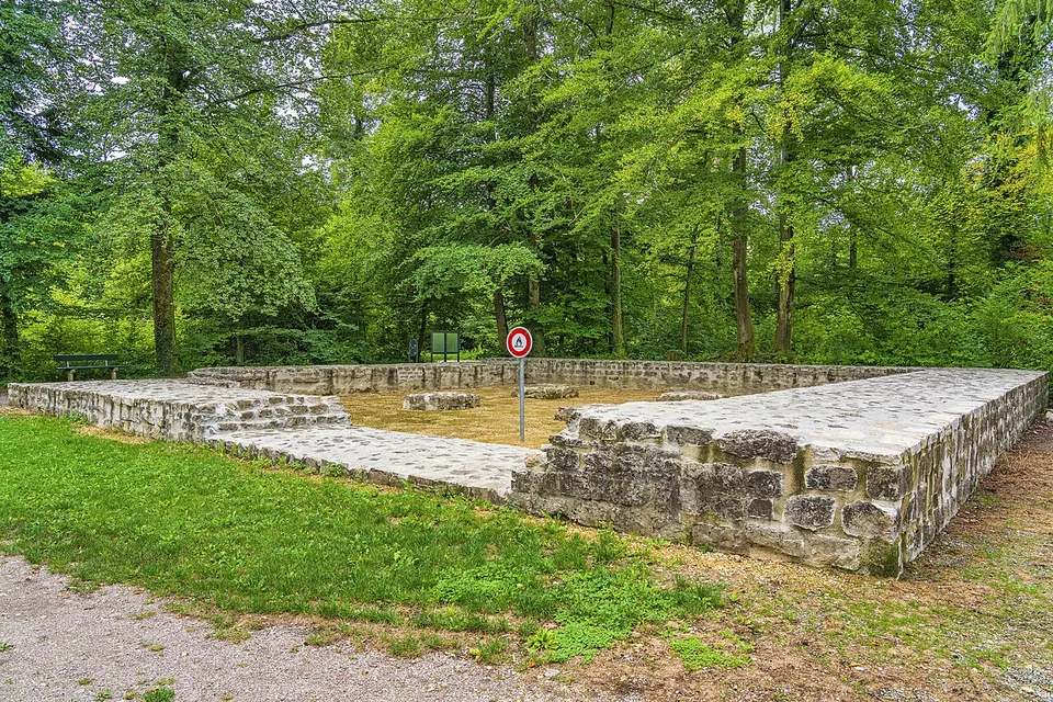
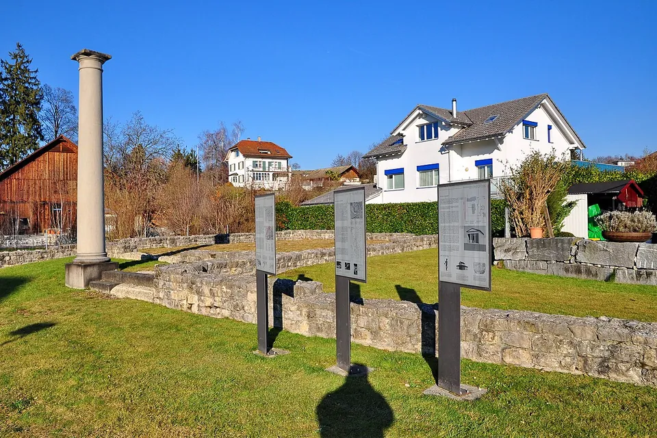
Around 300 Rome moved its northern frontier back to the Rhine. Augusta Raurica became a border town, guarded by the new Castrum Rauracense, and a chain of forts and watchtowers ran along the river. At Wallbach the foundations of one of them, the burgus at Stelli, have been fully excavated, conserved and partly rebuilt. The pages below begin with the places where the most is still there to see.
Sources: Wikipedia (en) — Aventicum; Wikipedia (de) — Aventicum; Wikipedia (en) — Augusta Raurica; Wikipedia (de) — Vindonissa; Wikipedia (de) — Amphitheater von Martigny; Wikipedia (de) — Castrum Rauracense; Wikipedia (de) — Burgus Wallbach-Stelli
Select Show on map beside a site or town to see where it is.Scroll the list: each site or town is marked on the map as you reach it. The interactive map shows them all.
Landmarks
LandmarkWorth planning a trip around.
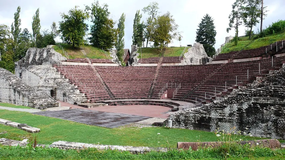
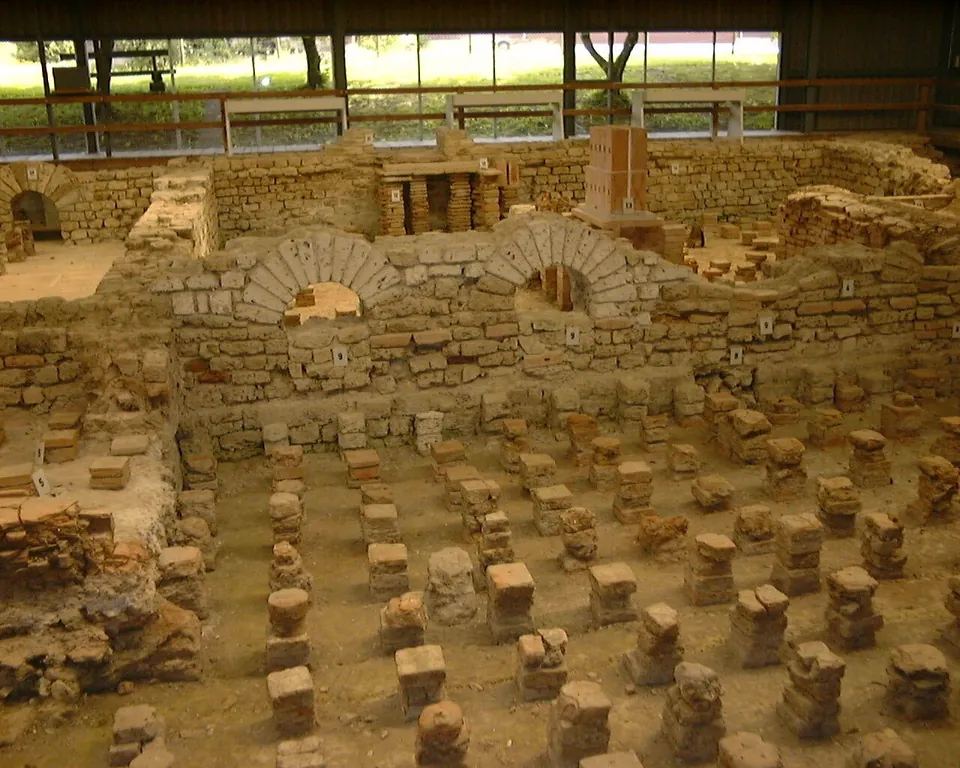
Photo: Guido Radig · CC BY-SA 3.0 · Commons
city · Liestal District, Basel-Landschaft
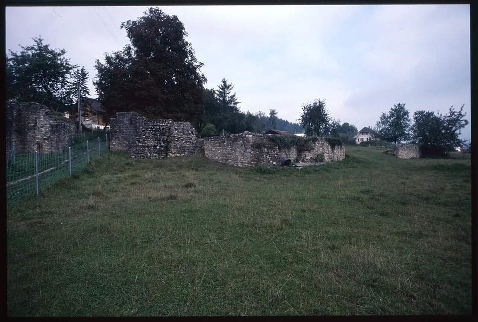
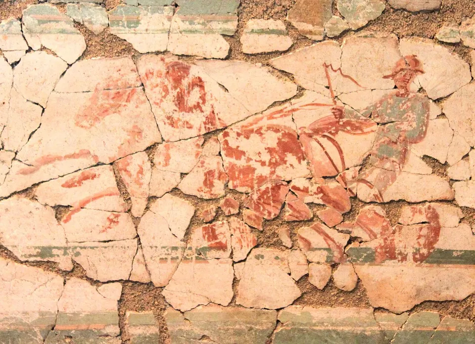
Augusta Raurica
The operator lists the open-air site, its protected monuments and an animal park as free, and the open-air site as open around the clock; fr.wikipedia puts the open-air sights at more than twenty.
Show on map: Augusta Raurica1st c. BC – 7th c. ADFree1st c. BC – 7th c. ADFree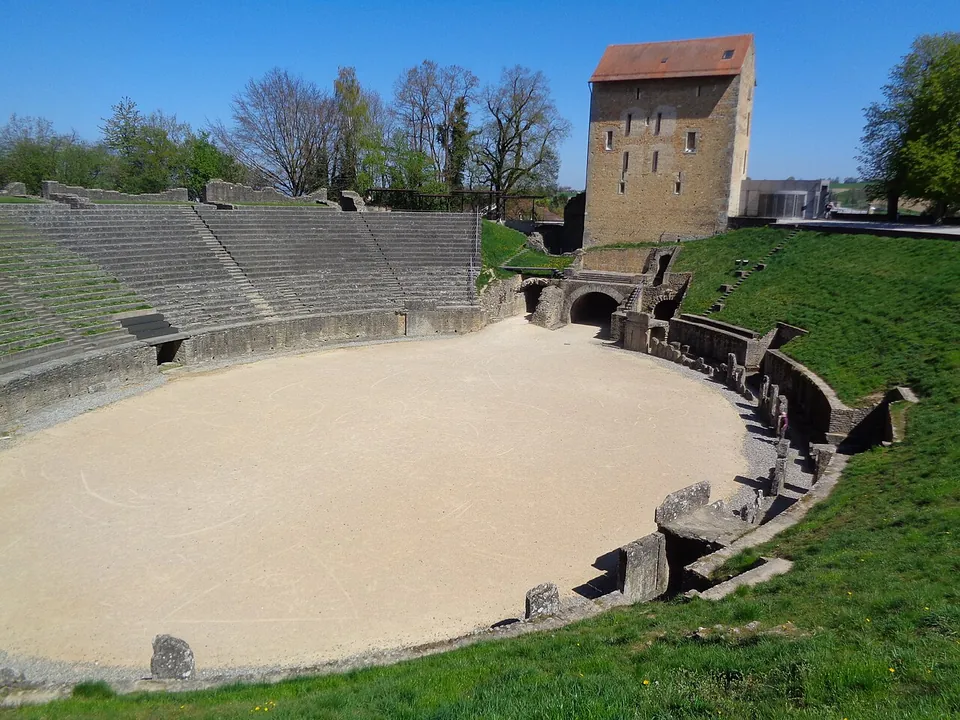
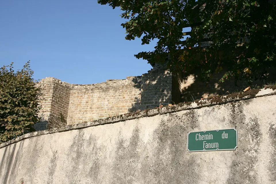
Photo: Nursangaion · CC BY-SA 4.0 · Commons
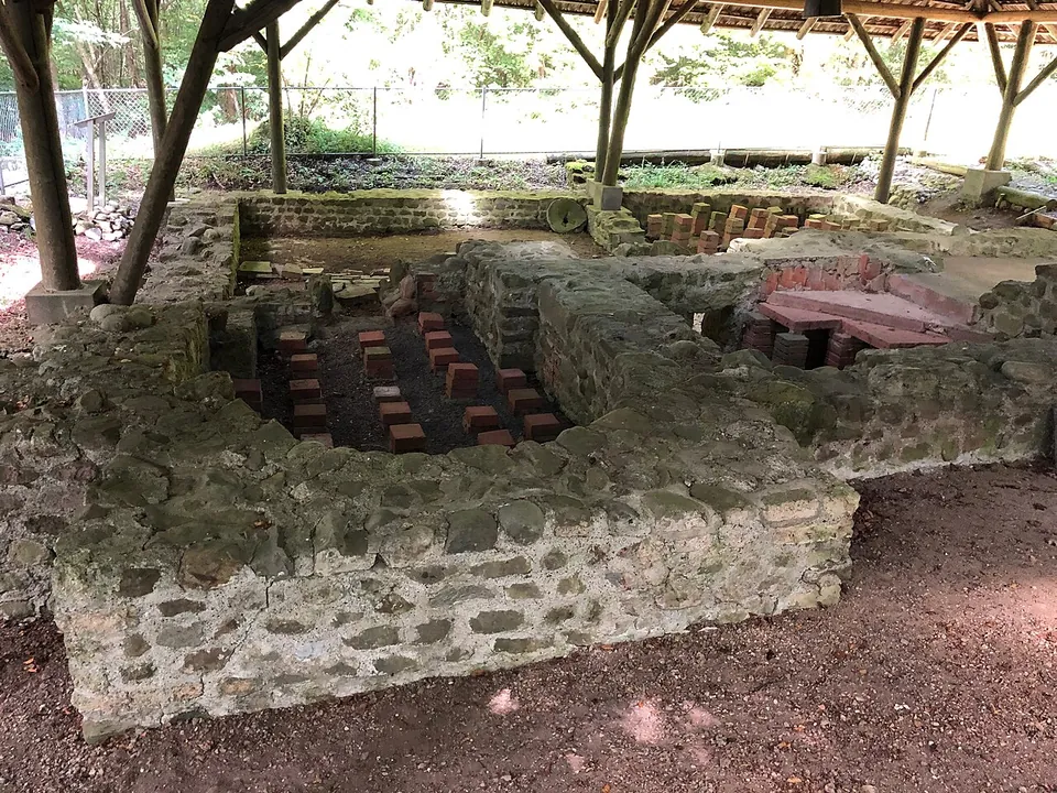
city · Broye-Vully District, Vaud
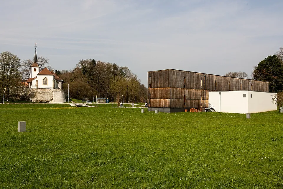
Aventicum
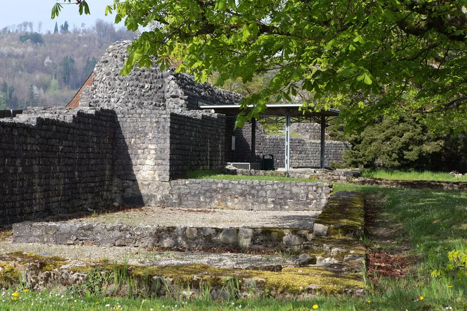
The ruins are not one enclosure but a set of monuments spread through the town and the fields beyond it.
Show on map: Aventicum1st c. BC – 7th c. ADFree1st c. BC – 7th c. ADFree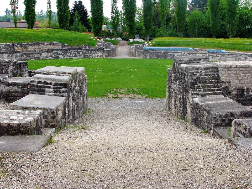
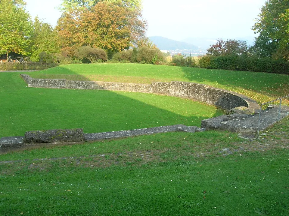
Photo: Roland zh · CC BY-SA 3.0 · Commons
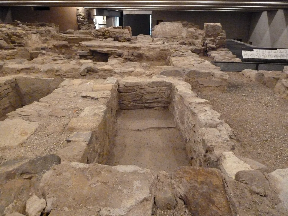
fort · Brugg District, Aargau
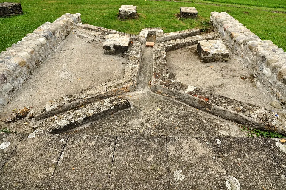
Vindonissa
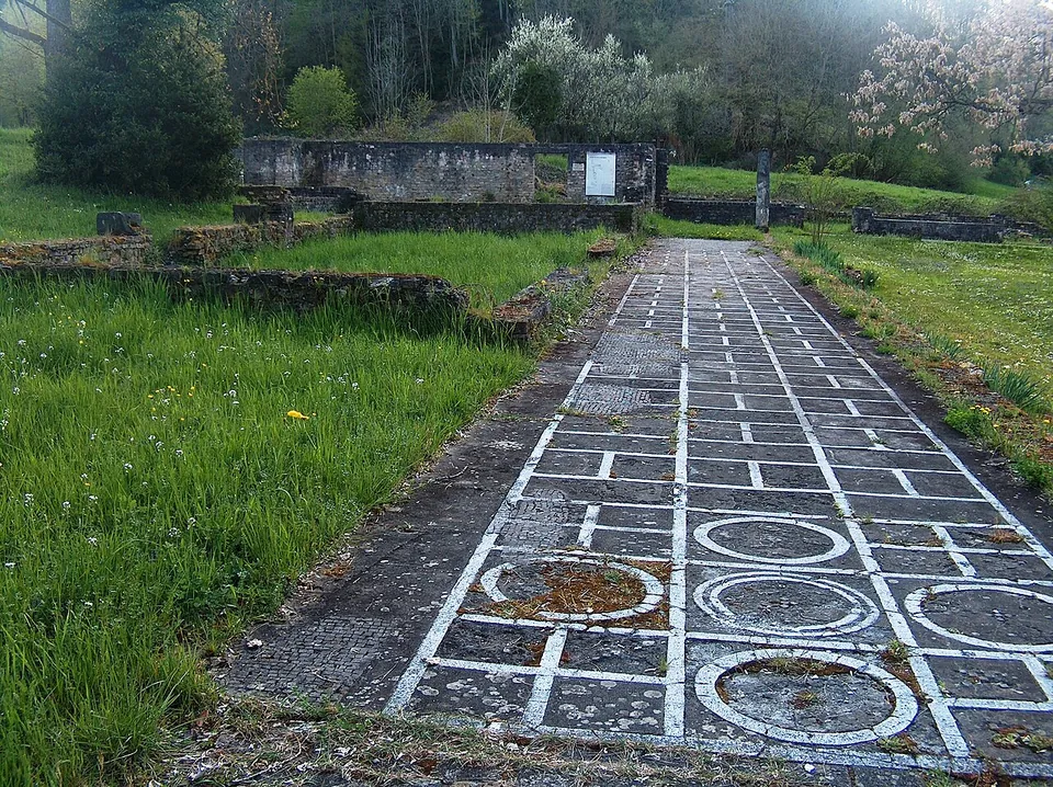
The Legionärspfad, run by Museum Aargau, is the way into the camp: eleven stations through its excavated sites, among them the amphitheatre, reconstructed legionaries' barracks, a gate, the baths and a Roman garden of 450 m² planted with some 40 species documented by archaeology (the operator).
Show on map: Vindonissa1st – 7th c. ADTicketed1st – 7th c. ADTicketed