What is there today
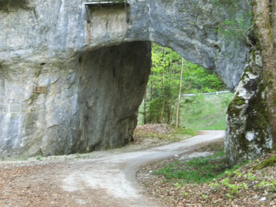
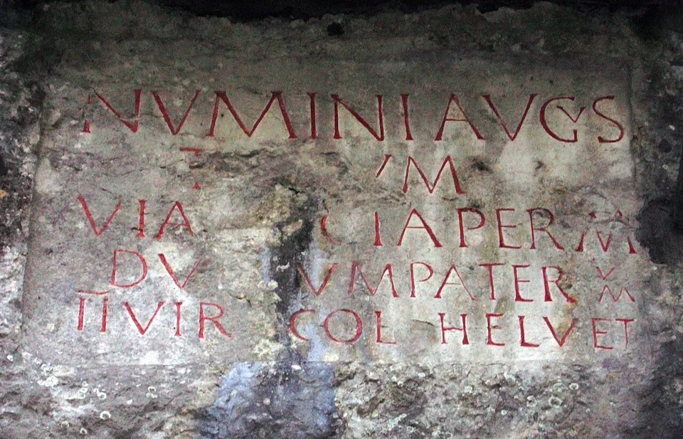
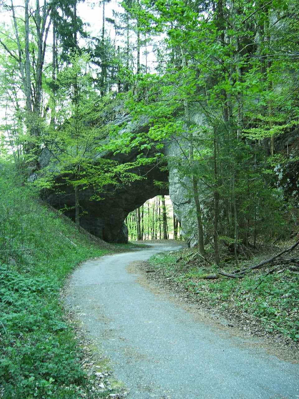
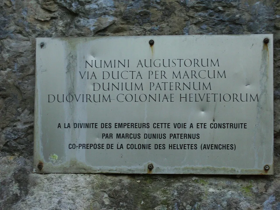
The passage is a short tunnel through the rock with a well-preserved Latin inscription (fr.wikipedia). It is a natural opening that was artificially enlarged, and it lies about 300 m north of the top of the pass (de.wikipedia). The inscription is cut into the rock on the north side above the opening and measures 159 by 96 cm (HLS; fr.wikipedia). Photographs show a gravel lane passing under a broad arch in a grey rock face, the inscription in a smoothed panel with its letters picked out in red, and a metal plaque giving its text with a French translation (Wikimedia Commons).
The inscription reads, in translation: “To the divinity of the emperors: this road was made by Marcus Dunius Paternus, duumvir of the colony of the Helvetii” (the plaque on site; fr.wikipedia, CIL XIII 5166). The colony was Aventicum, today’s Avenches (HLS; the plaque).
Is it worth the trip?
Yes, if you are in the Bernese Jura: a Roman road still passing through a rock arch, under the Roman inscription that records the work, is not something you see every day, and it costs nothing. It is a single short stop rather than a site to spend time in.
Getting there
The passage is on the Tavannes side of the Col de Pierre Pertuis, the pass between Sonceboz and Tavannes, and the river Birse rises at the foot of the pass (de.wikipedia, fr.wikipedia). The present road over the pass (Route de Pierre-Pertuis) runs about 20 m away, gravel tracks pass through and beside the arch, and signposts named “Pierre Pertuis” and “Source de la Birse” are mapped 13 m and 140 m away (OpenStreetMap). No car park or public-transport stop is mapped within 300 m. The site is open countryside, and no source publishes hours or a charge.
Visiting details
- Opening hours
- Open countryside; a track runs through the passage, and no source publishes hours or restrictions.
- Tickets
- No charge is published or mapped.
Before you go
- No car park or public-transport stop is mapped within 300 m (OpenStreetMap).
History
The Roman road led from Petinesca up to the pass through the natural opening in the rock, which gave the pass its name, petra pertusa, “the pierced stone”; archaeological surveys suggest the road dates from the second half of the 1st century (HLS). The inscription, carved around 200, probably records the repair and widening of the existing road and the enlargement of the opening rather than the first building of the road (HLS); other published accounts put it in the 3rd century (de.wikipedia, fr.wikipedia). A 15th-century legend credits Julius Caesar with cutting the passage, but no ancient source supports it (fr.wikipedia).
The road over the pass went through the rock until the early 20th century. During the mobilisation of 1914–1918 army engineers built a road for motor traffic that avoids the old tunnel, a new road built by unemployed workers opened in 1932, and since November 1997 the A16 motorway has crossed the mountain in a tunnel 2,100 m long (de.wikipedia, fr.wikipedia). The national inventory lists the passage and its inscription as a cultural property of national significance (KGS 9580).
More photographs
Nearby
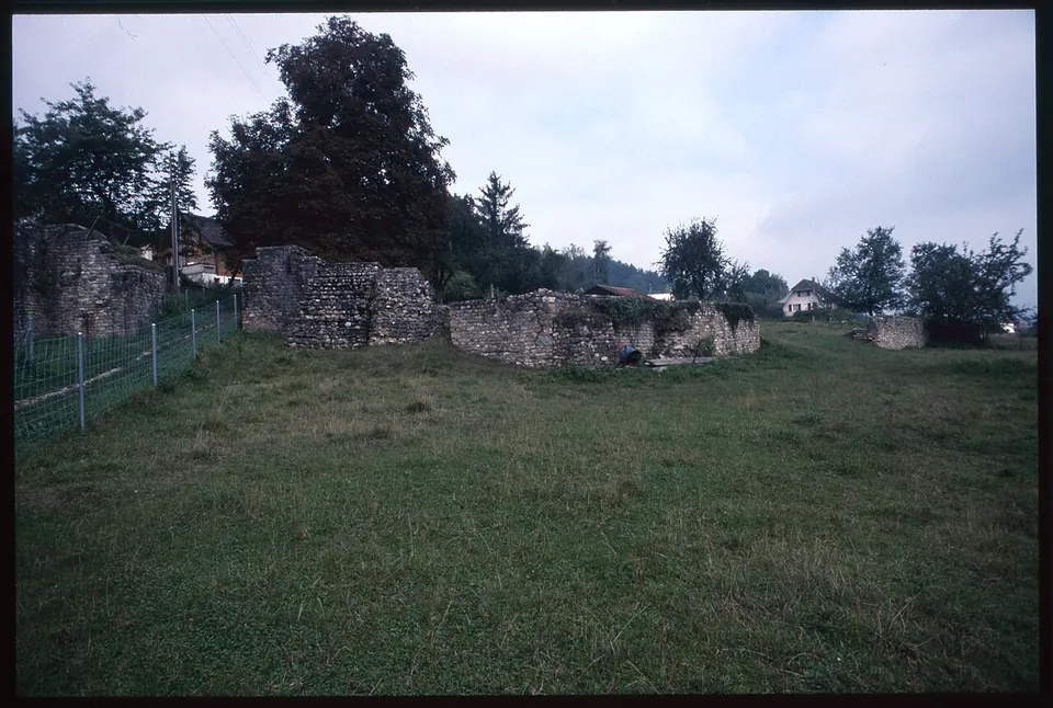
Photo: André Corboz · CC BY-SA 4.0 · Commons
33 km · amphitheatre · Bern-Mittelland District, Bern
Engehalbinsel
The canton's archaeology service maintains a signposted trail whose Roman highlights are "the so-called arena" and the Roman baths (the operator).
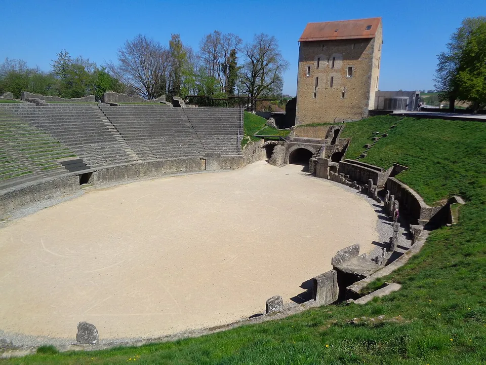
Photo: Nursangaion · CC BY-SA 4.0 · Commons
39 km · city · Broye-Vully District, Vaud
Aventicum
The ruins are not one enclosure but a set of monuments spread through the town and the fields beyond it.
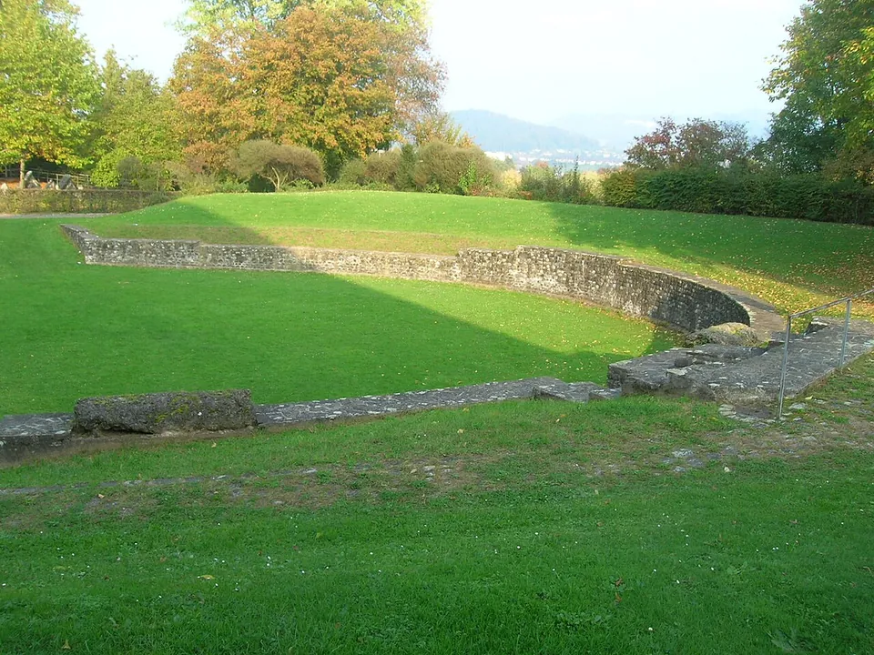


Straight-line distances.
Sources
Every fact on this page comes from the records below, each used under the licence noted.
| Source | Licence |
|---|---|
| Wikidata Q110271463 | CC0 |
| OpenStreetMap node/1479980936 | ODbL |
| Historisches Lexikon der Schweiz — Pierre-Pertuis (Martin Bossert) | licence not recorded |
| KGS inventory 9580 — Pierre Pertuis, passage taillé dans la roche avec inscription romaine (BABS) | licence not recorded |
| Wikipedia (fr) — Col de Pierre Pertuis | CC BY-SA 4.0 |
| Wikipedia (de) — Col de Pierre Pertuis | CC BY-SA 4.0 |
| Wikidata — Col de Pierre Pertuis, the pass (Q670928) | licence not recorded |