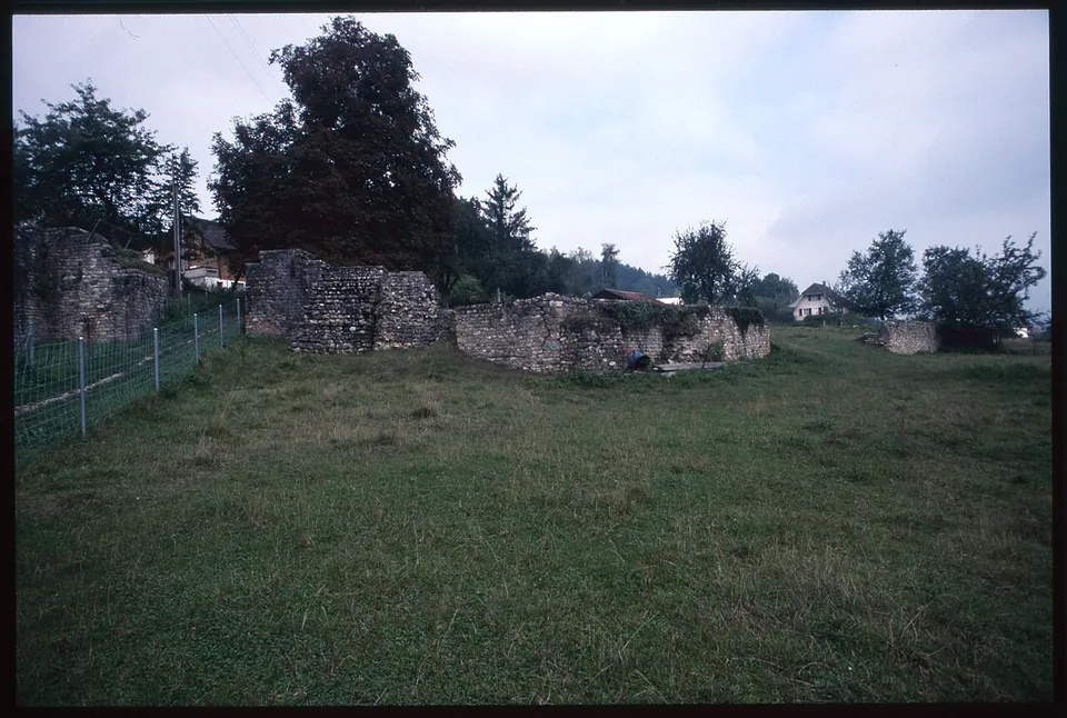
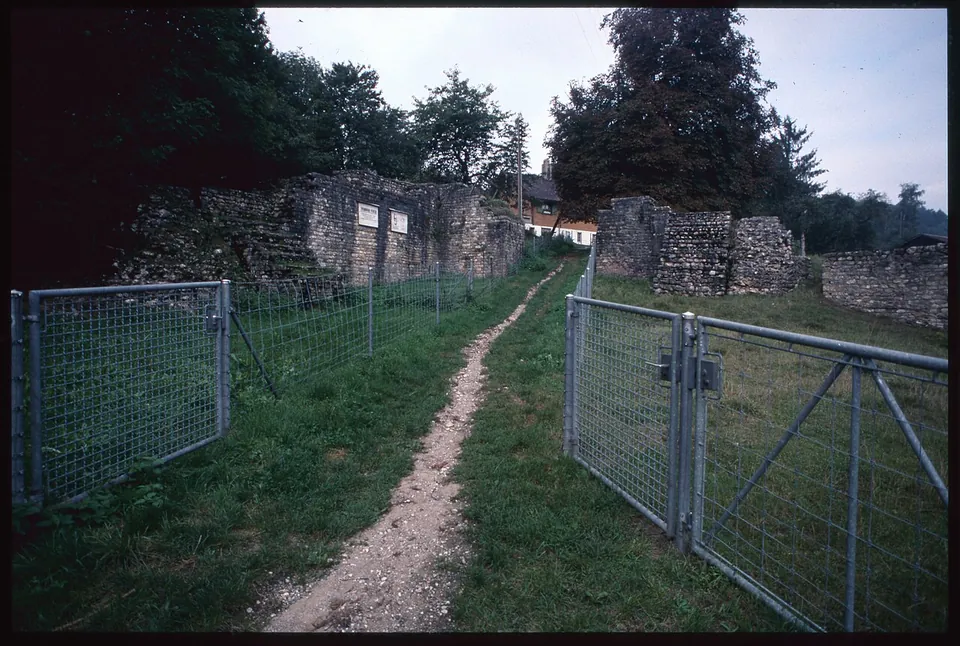
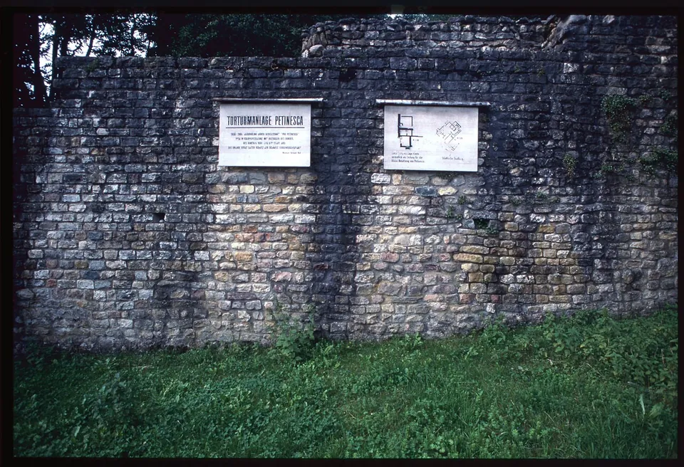
What is there today
The site is in two parts. In Studen, the ruins of the gate stand in a meadow, with the masonry of a gate-tower complex carrying a plaque and a plan (OpenStreetMap; Wikimedia Commons). About 700 m to the north-west, in the woods, the temple precinct has six temples mapped as ruins, numbered between 1 and 9, and a multi-purpose building (OpenStreetMap); Pleiades describes it as a Gallo-Roman sanctuary with an enclosed precinct, linked to the oppidum. The photographs show low foundations in a clearing and the walls of one small building standing among the trees.
Is it worth the trip?
For a walker or a cyclist in the Seeland, yes: two sets of genuine Roman remains, a gate and a temple precinct, with a bus stop by the gate. For anyone else it is a modest site, outdoors and without a museum on the spot.
Getting there
A bus stop named Petinesca is mapped about 60 m from the gate; the parking mapped nearby is private (OpenStreetMap). The temple precinct is about 700 m from the gate. No operator publishes opening times or a charge for either part.
Visiting details
- Opening hours
- No operator publishes opening hours; the remains are outdoors.
- Tickets
- No source in hand says whether a charge applies; none is mapped.
Before you go
- The site is in two parts about 700 m apart, the gate in Studen and the temple precinct in the woods; no public car park is mapped next to either (OpenStreetMap).
History
A Roman settlement at Petinesca replaced a Celtic oppidum on the plateau of the Jensberg, on the road from Aventicum to Salodurum (Pleiades); the Peutinger Table and the Antonine Itinerary list it as a station on that road between Avenches and Solothurn (it.wikipedia). The national inventory lists the vicus and its temple precinct together as one cultural property of national significance (KGS 1247).
More photographs
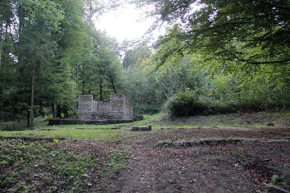
Nearby
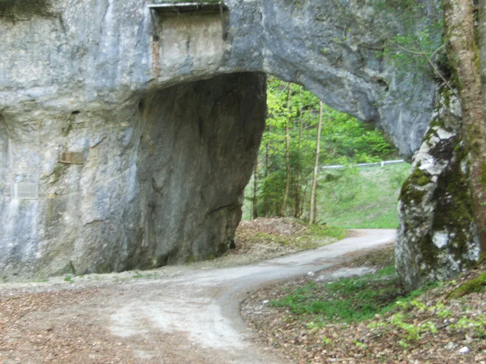
Photo: Oblic · CC BY-SA 3.0 · Commons
14 km · road · Bernese Jura, Bern
Pierre Pertuis
The passage is a short tunnel through the rock with a well-preserved Latin inscription (fr.wikipedia).
19 km · amphitheatre · Bern-Mittelland District, Bern
Engehalbinsel
The canton's archaeology service maintains a signposted trail whose Roman highlights are "the so-called arena" and the Roman baths (the operator).
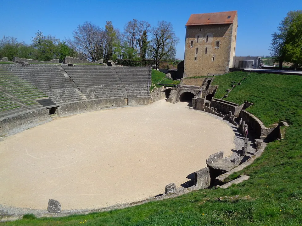
Photo: Nursangaion · CC BY-SA 4.0 · Commons
32 km · city · Broye-Vully District, Vaud
Aventicum
The ruins are not one enclosure but a set of monuments spread through the town and the fields beyond it.
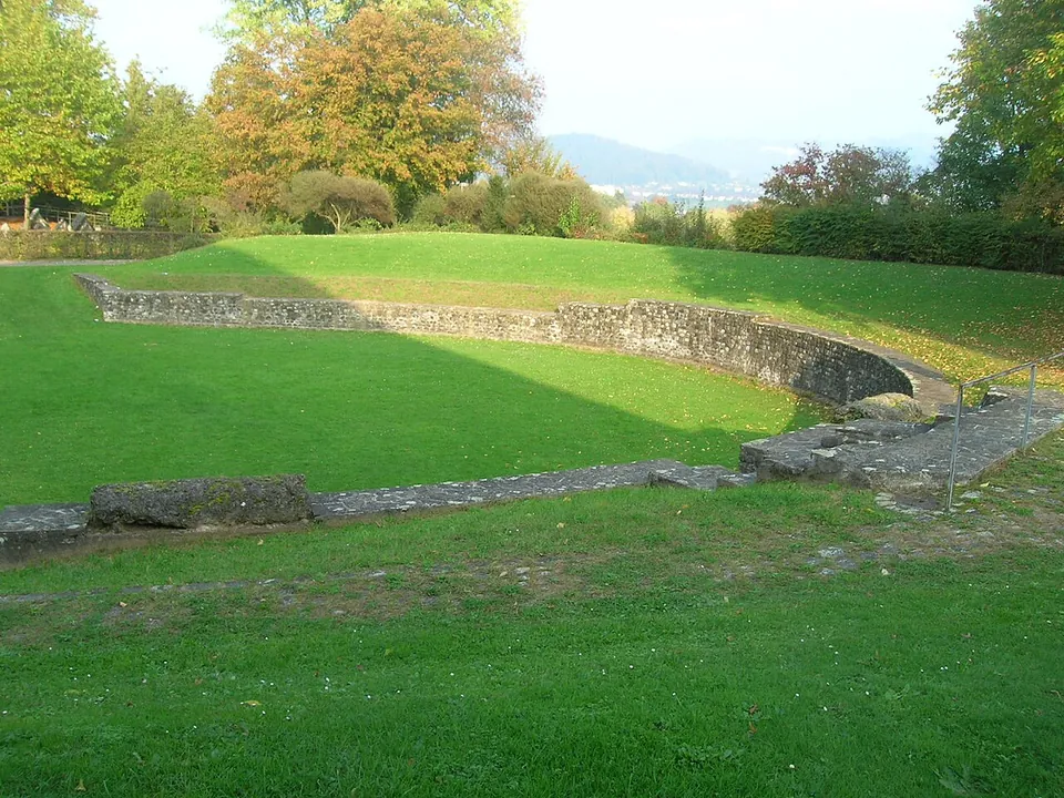


Straight-line distances.
Sources
Every fact on this page comes from the records below, each used under the licence noted.
| Source | Licence |
|---|---|
| Pleiades 177603 | CC BY |
| Wikidata Q689722 | CC0 |
| OpenStreetMap node/443679123 | ODbL |
| Pleiades — Temple complex (Petinesca) | licence not recorded |
| Wikipedia (de) — Petinesca | CC BY-SA 4.0 |
| Wikipedia (en) — Petinesca | CC BY-SA 4.0 |
| Wikipedia (fr) — Petinesca | CC BY-SA 4.0 |
| Wikipedia (it) — Petinesca | CC BY-SA 4.0 |
| KGS inventory 1247 — PETINESCA, römischer Vicus mit Tempelbezirk (BABS) | licence not recorded |