

What is there today
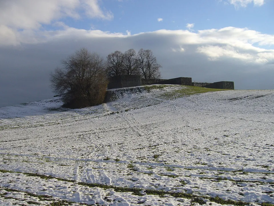
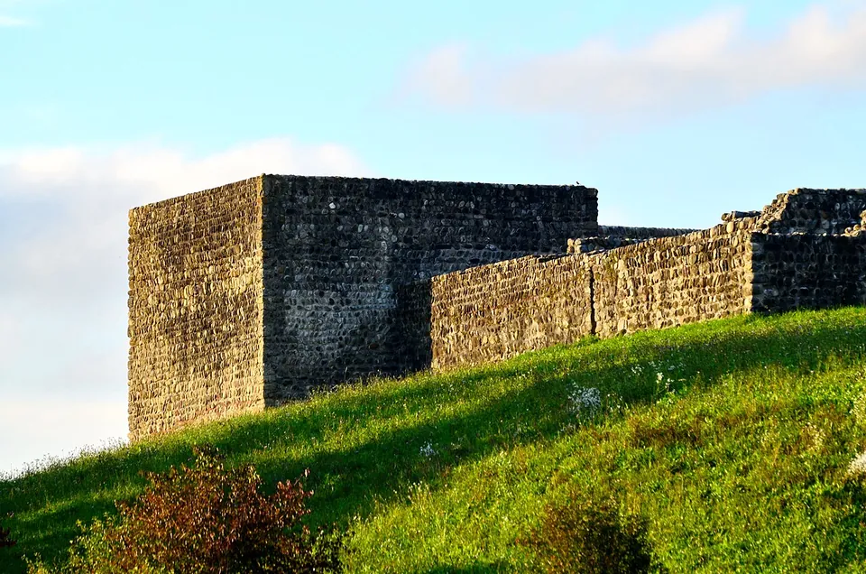
The fort is a square about 60 m across, with four corner towers and three more towers along the sides; stone remains inside were probably a bath (en.wikipedia). The walls stand to a good height, and part of what you see was restored and completed at the end of the 19th century (de.wikipedia). Under the southern corner tower the excavators found the hypocaust of a farming estate of the 1st to 3rd centuries, older than the fort (de.wikipedia).
Is it worth the trip?
Yes, if you are anywhere near Zurich: it is a complete small fort that you can read at a glance, it costs nothing, and it sits in open country near the lake. It is not large, and there is no museum or ticket office, so it is a stop rather than an outing in itself.
Getting there
The fort is at Irgenhausen, part of Pfäffikon in the canton of Zurich. A free car park is mapped about 260 m away; no bus stop or station is mapped within 300 m (OpenStreetMap). The ruins are tagged as open to the public, and no operator publishes hours or a charge.
Visiting details
- Opening hours
- Open-air ruins; OpenStreetMap tags the fort access=yes, and no operator publishes hours.
- Tickets
- No charge is published or mapped.
- Parking
- A free car park about 260 m away (OpenStreetMap, way/127921892).
Before you go
- No public-transport stop is mapped within 300 m (OpenStreetMap).
History
The fort guarded a road and belonged to the rear line of the Danube–Iller–Rhine frontier, the defences Rome built along those rivers in the last phase of its rule (de.wikipedia); fr.wikipedia says it housed auxiliary troops. It was built in the 4th century and probably given up as early as the beginning of the 5th (de.wikipedia). Much later its north wall was quarried for stone to build a factory, until the Antiquarian Society in Zurich bought the site and stopped the stone robbing; the society excavated it at the end of the 19th century (de.wikipedia).
Nearby
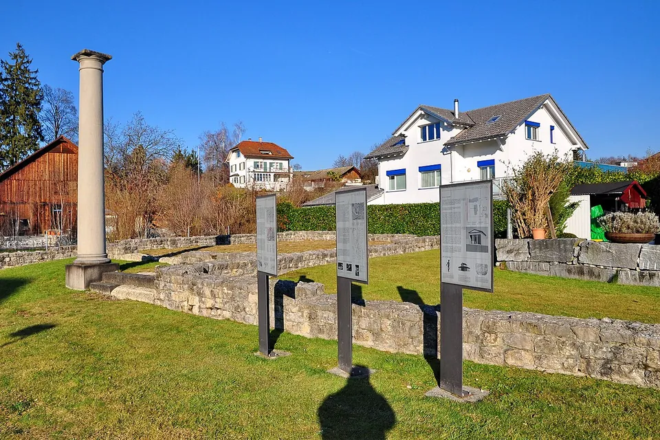
Photo: Roland zh · CC BY-SA 3.0 · Commons
13 km · city · See-Gaster District, St. Gallen
Centum Prata
The forum, the marketplace with its town hall, is on the Meienbergstrasse (Kantonsarchäologie St. Gallen).
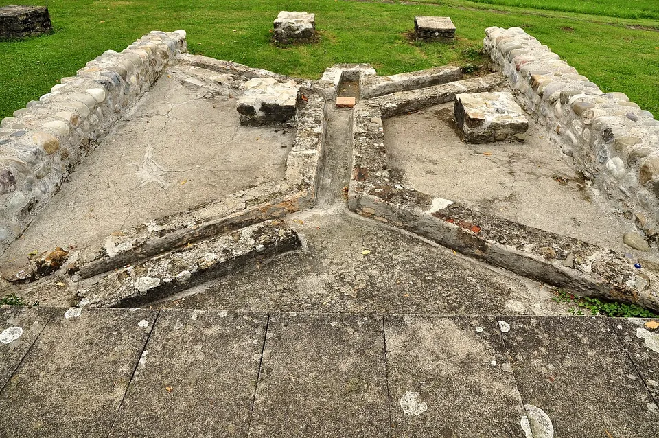
Photo: Roland zh · CC BY-SA 3.0 · Commons
24 km · villa · Bülach District, Zurich
Roman estate of Seeb
The ruins were excavated between 1958 and 1969 and partly conserved (the welcome board; it.wikipedia has systematic excavation from 1963 to 1970).
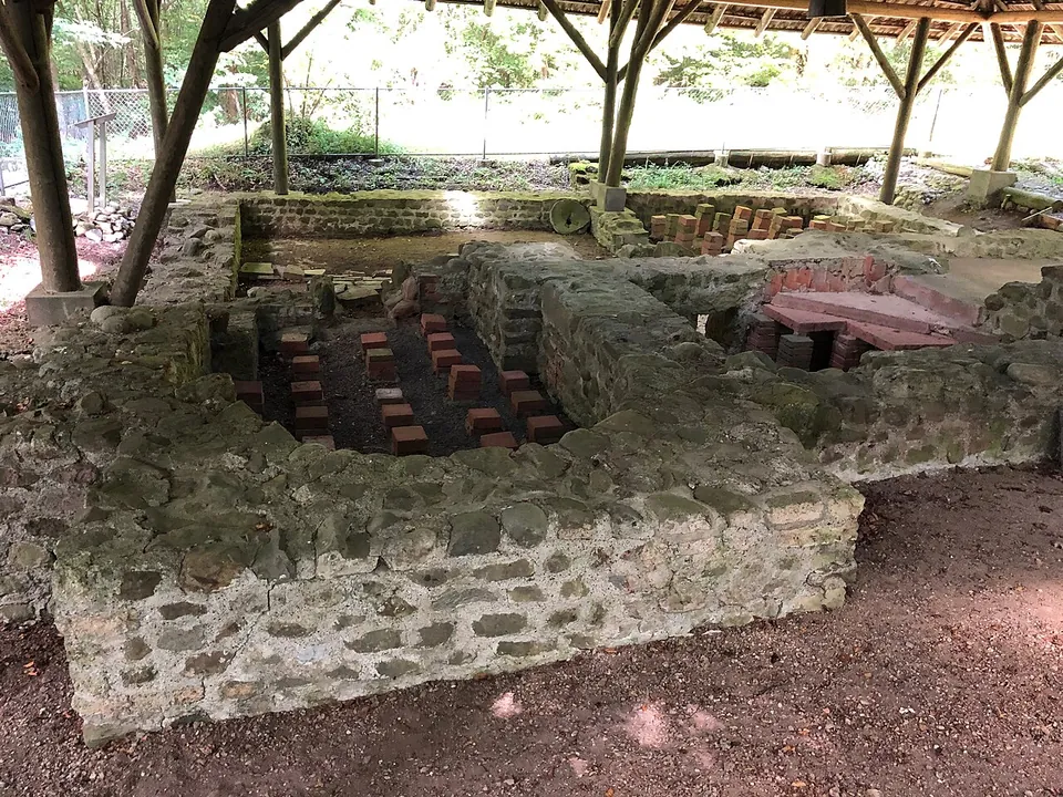
Photo: Adrian Michael · CC BY 3.0 · Commons
40 km · villa · Bremgarten District, Aargau
Roman villa of Sarmenstorf
Only the bath wing is still visible: after the excavations every other wall was covered over again, and the baths are protected by a shelter (Municipality of Sarmenstorf).


Straight-line distances.
Sources
Every fact on this page comes from the records below, each used under the licence noted.
| Source | Licence |
|---|---|
| Pleiades 187422 | CC BY |
| Wikidata Q241013 | CC0 |
| Vici.org 13051 | CC BY-SA (text), CC0 (metadata) |
| OpenStreetMap relation/3876182 | ODbL |
| Wikipedia (de) — Kleinkastell Irgenhausen | CC BY-SA 4.0 |
| Wikipedia (en) — Irgenhausen Castrum | CC BY-SA 4.0 |
| Wikipedia (fr) — Irgenhausen (fort romain) | CC BY-SA 4.0 |
| KGS inventory 7599 — Irgenhausen, römischer Gutshof / spätrömisches Kastell (BABS) | licence not recorded |