What is there today
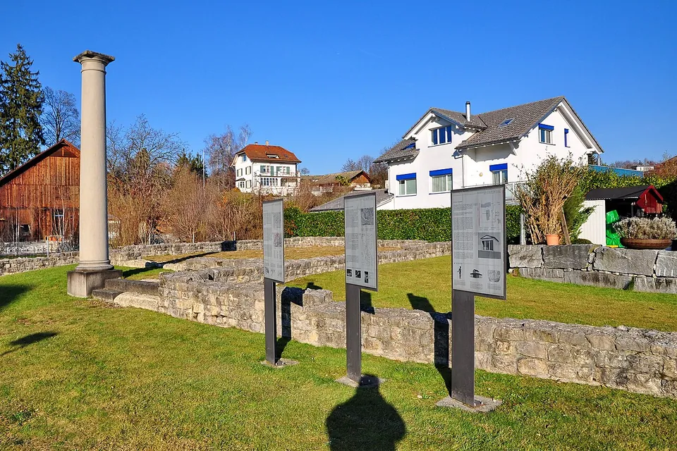
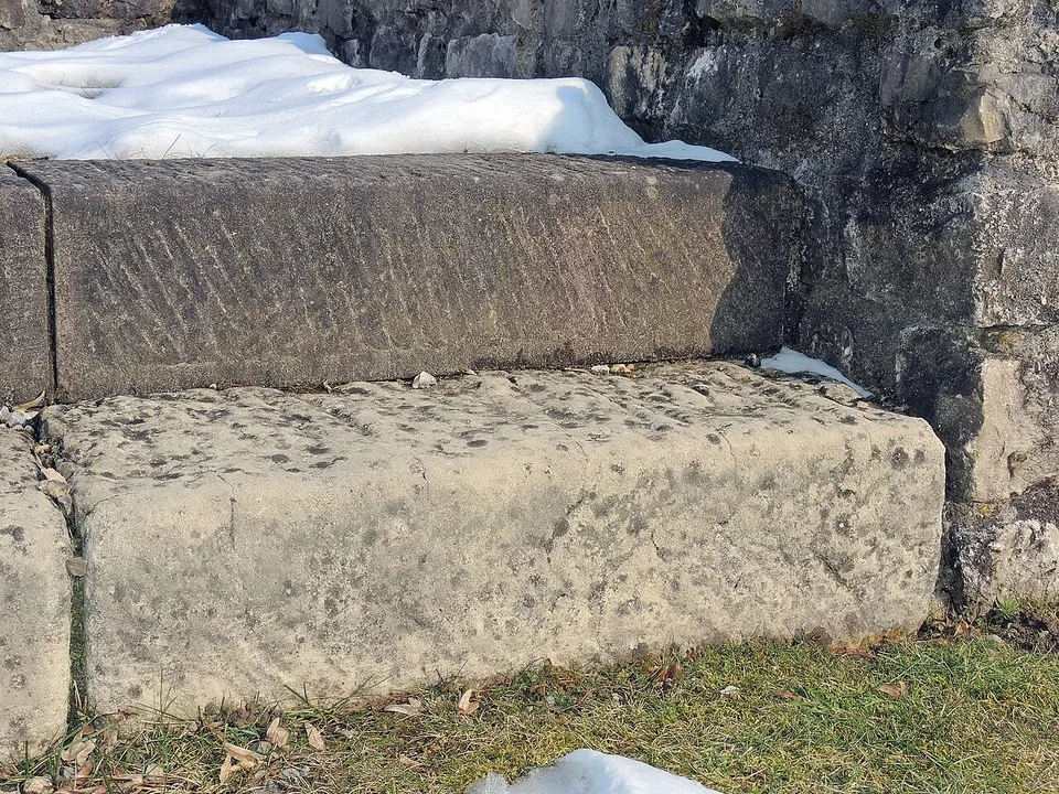
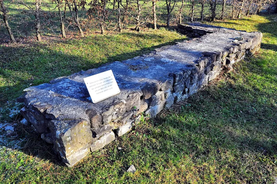
The forum, the marketplace with its town hall, is on the Meienbergstrasse (Kantonsarchäologie St. Gallen). What you see there is a set of low foundation walls on a lawn, one column standing at a corner and information panels (Wikimedia Commons). In the Römerwiese the remains of a potter’s house are preserved (Kantonsarchäologie St. Gallen), and more Roman wall remains lie beside the chapel of St. Ursula (Wikimedia Commons). Further find sites lie at the church of St. Martin in Busskirch and the parish church in Jona, and the piles of a Roman bridge across the lake between Rapperswil and Hurden were probably connected with the settlement (de.wikipedia).
A mithraeum is recorded about 600 m south of the forum point (Wikidata); nothing of it is described as on show.
Is it worth the trip?
Only if you are already in Rapperswil or on the lake: the remains are low walls in a residential quarter, honestly presented but modest, and a stroll between the forum, the Römerwiese and the chapel of St. Ursula is the whole visit. For readers interested in how a small Roman roadside town worked, the panels on site and the cantonal archaeology service’s material make it more than a patch of grass.
Getting there
Kempraten station is mapped about 80 m from the point, and car parks about 40 m (OpenStreetMap). The remains are outdoors among the houses; no source publishes hours or a charge.
Visiting details
- Opening hours
- Open-air remains in Kempraten; no source publishes opening hours.
- Tickets
- No charge is published or mapped.
- Parking
- Car parks about 40 m from the point (OpenStreetMap).
History
A vicus is attested at Kempraten from the 1st to the 4th century, the most important find site in the canton of St. Gallen. It was a staging post where the roads from Zurich and Winterthur met the Alpine route to Chur and Italy, and an economic centre for the area around, with houses and workrooms for craftsmen, merchants, innkeepers and carters; a cremation cemetery lay on its eastern edge (HLS). Whether its name was Centum Prata, “a hundred meadows”, is disputed: the forms Centoprato and Centiprata appear only in 741/744 and 863 (HLS), and Pleiades notes that no Roman text of its own time gives the name.
Nearby
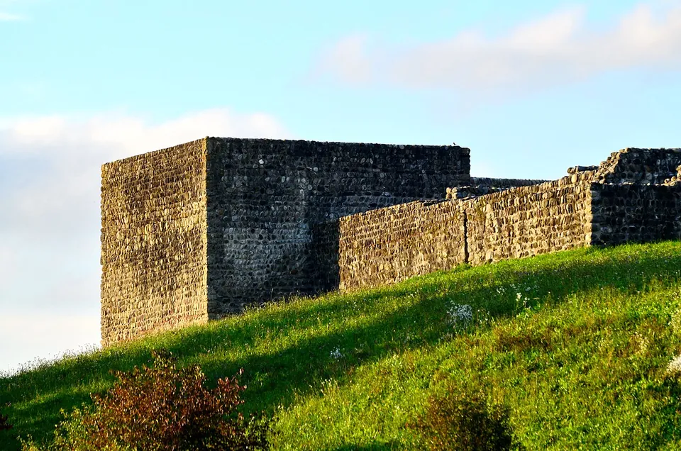
Photo: Roland zh · CC BY-SA 3.0 · Commons
13 km · fort · Pfäffikon District, Zurich
Irgenhausen Roman fort
The fort is a square about 60 m across, with four corner towers and three more towers along the sides; stone remains inside were probably a bath (en.wikipedia).
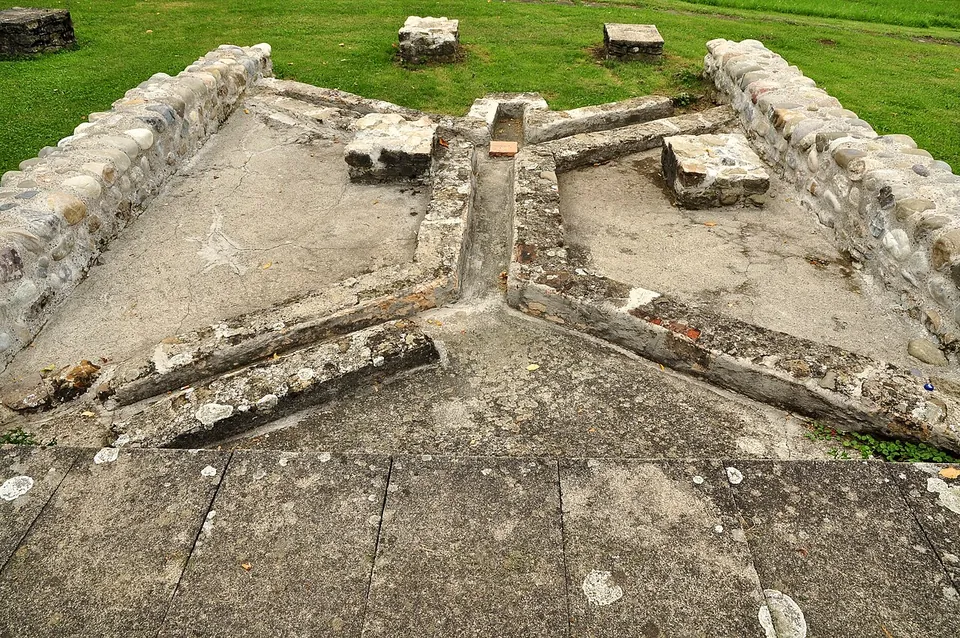
Photo: Roland zh · CC BY-SA 3.0 · Commons
35 km · villa · Bülach District, Zurich
Roman estate of Seeb
The ruins were excavated between 1958 and 1969 and partly conserved (the welcome board; it.wikipedia has systematic excavation from 1963 to 1970).
42 km · villa · Bremgarten District, Aargau
Roman villa of Sarmenstorf
Only the bath wing is still visible: after the excavations every other wall was covered over again, and the baths are protected by a shelter (Municipality of Sarmenstorf).
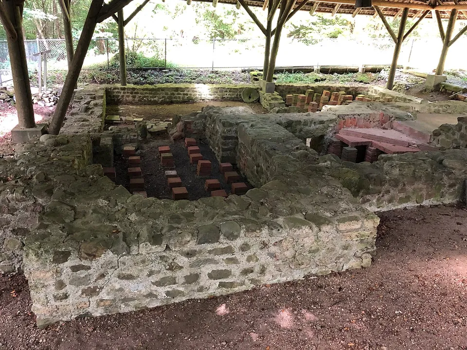


Straight-line distances.
Sources
Every fact on this page comes from the records below, each used under the licence noted.
| Source | Licence |
|---|---|
| Pleiades 187438 | CC BY |
| Wikidata Q8987384 | CC0 |
| OpenStreetMap node/2953670478 | ODbL |
| Wikidata — Mithraeum of Kempraten (Q140421930) | licence not recorded |
| Wikipedia (de) — Centum Prata | CC BY-SA 4.0 |
| Wikipedia (en) — Centum Prata | CC BY-SA 4.0 |
| Historisches Lexikon der Schweiz — Kempraten (Alois Stadler) | licence not recorded |
| KGS inventory 8242 — Kempraten, römischer Vicus (BABS) | licence not recorded |
| Kantonsarchäologie St. Gallen — Ausflugsziele | licence not recorded |