

What is there today
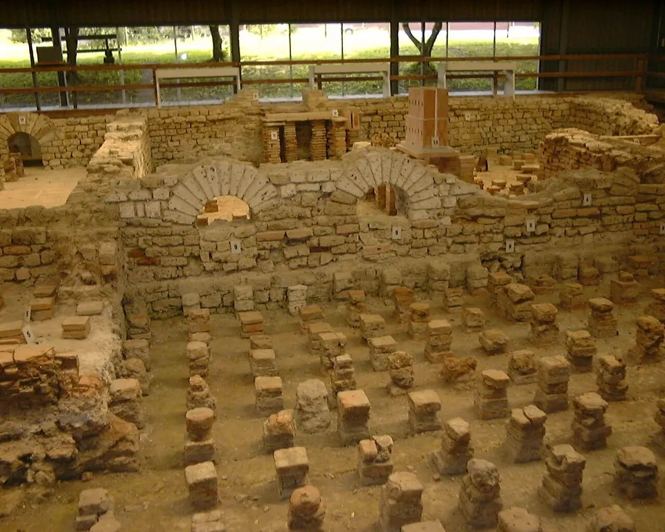
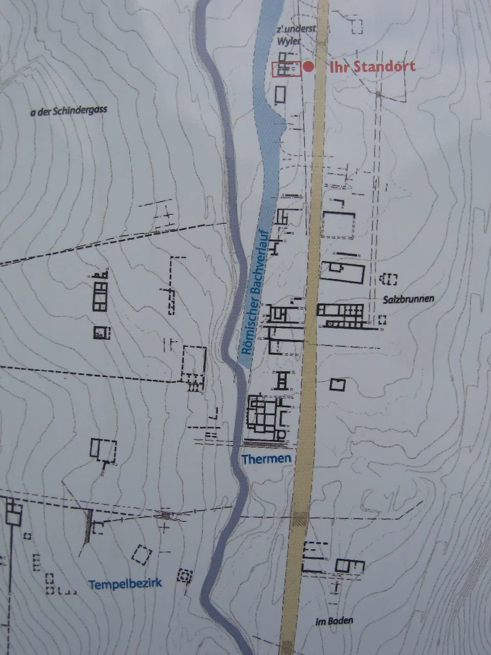
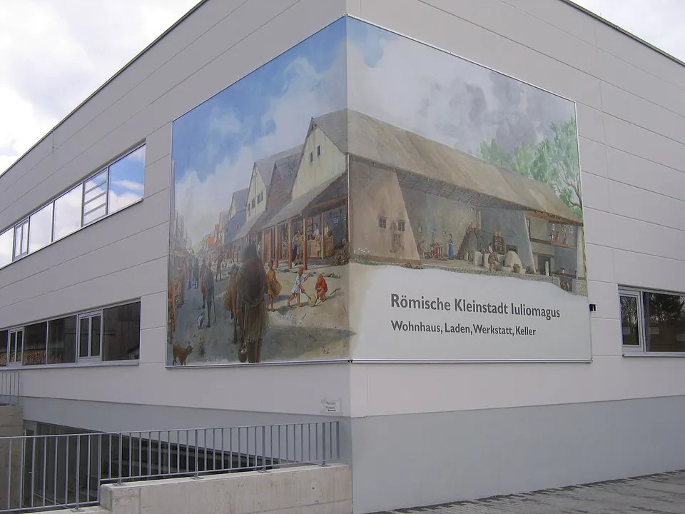
The Thermenmuseum shows the remains of the Roman baths (de.wikipedia): walls of the bath rooms and rows of small brick pillars, under a roof (Wikimedia Commons photograph). In the basement of a modern commercial building, part of the Roman market street can be seen (de.wikipedia), and the building’s corner carries a large painted reconstruction of the street. OpenStreetMap maps an orientation board at the baths, the temple precinct about 190 m away and a “römischer Schaukeller”, a Roman cellar on show, about 260 m away. The finds from the site are in the local museum of Schleitheim and the Museum zu Allerheiligen in Schaffhausen (de.wikipedia).
Is it worth the trip?
Yes, if you are near Schaffhausen: the baths are under cover and easy to read, the museum is open from early morning into the evening, and entry costs CHF 5. It is a small site, essentially the baths, so it is a stop rather than a day out.
Getting there
The museum is at Zum Salzbrunnen in Schleitheim (the operator). The bus stop Juliomagus is mapped about 280 m away (OpenStreetMap). It opens 08.00–20.00 from May to September and 08.00–17.00 from October to April. Entry is CHF 5 (about €5.35) for adults and free under 16; a guided tour for up to 25 people costs CHF 140 plus entry (pro-iuliomago.ch, read 7 October 2026 — check before travelling).
Visiting details
- Opening hours
- Thermenmuseum: 08.00–20.00 from May to September, 08.00–17.00 from October to April.
- Tickets
- CHF 5 (about €5.35) for adults; free under 16. Guided tours for up to 25 people CHF 140 plus entry.
Hours and prices checked 7 October 2026 on the operator's own site. Confirm before travelling.
History
Iuliomagus was a Roman town in the province of Germania Superior, north of the High Rhine (de.wikipedia). The national inventory lists the vicus as a cultural property of national significance (KGS 4437).
Nearby
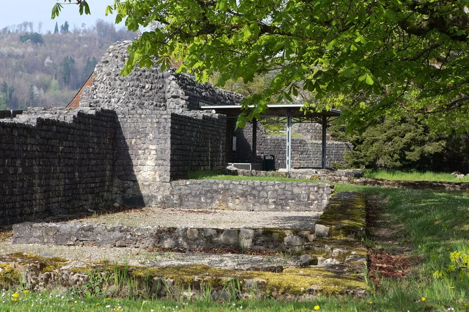
Photo: Roland Zumbuehl · CC BY-SA 3.0 · Commons
22 km · fort · Zurzach District, Aargau
Kirchlibuck fort, Bad Zurzach
On the Kirchlibuck a section of the fort's south wall has been rebuilt or restored and made freely accessible to visitors, and the foundations of the west tower survive; smaller pieces of Roman wall have also been made visible again on the buildings along the Burghaldenweg (de.wikipedia).
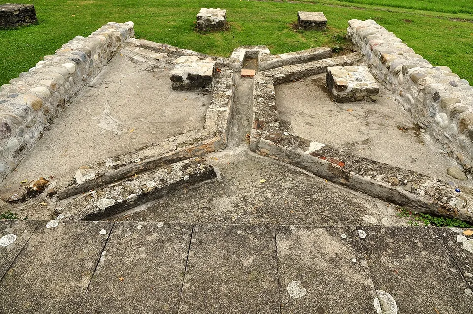
Photo: Roland zh · CC BY-SA 3.0 · Commons
28 km · villa · Bülach District, Zurich
Roman estate of Seeb
The ruins were excavated between 1958 and 1969 and partly conserved (the welcome board; it.wikipedia has systematic excavation from 1963 to 1970).
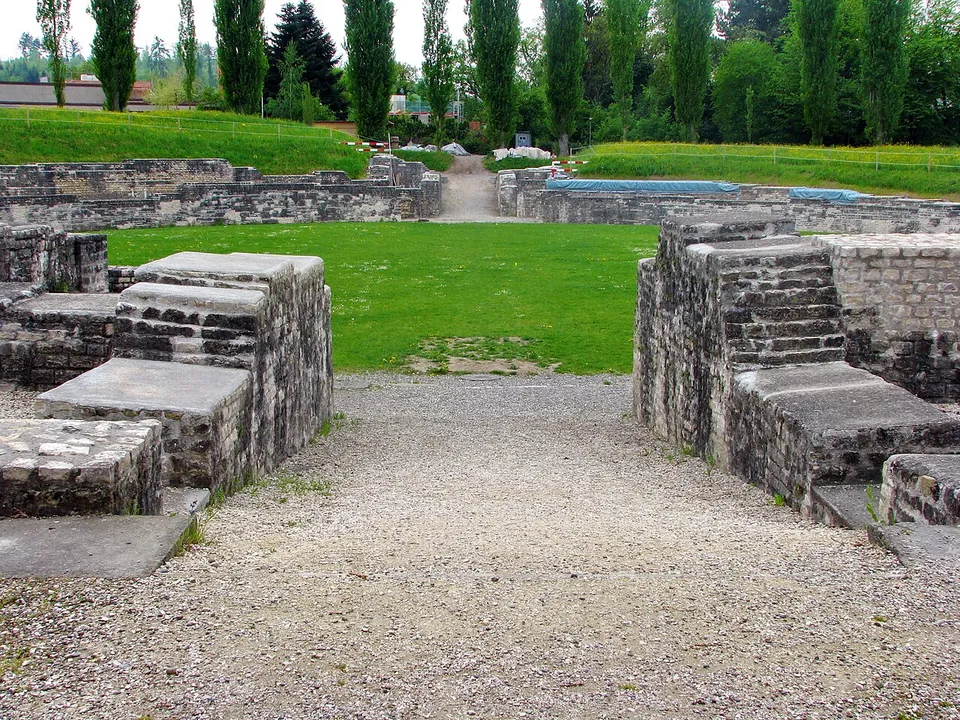
Photo: Roland zh · CC BY-SA 3.0 · Commons
35 km · fort · Brugg District, Aargau
Vindonissa
The Legionärspfad, run by Museum Aargau, is the way into the camp: eleven stations through its excavated sites, among them the amphitheatre, reconstructed legionaries' barracks, a gate, the baths and a Roman garden of 450 m² planted with some 40 species documented by archaeology (the operator).


Straight-line distances.
Sources
Every fact on this page comes from the records below, each used under the licence noted.
| Source | Licence |
|---|---|
| Pleiades 187429 | CC BY |
| Wikidata Q680709 | CC0 |
| OpenStreetMap way/40775869 | ODbL |
| Wikipedia (de) — Iuliomagus (Schleitheim) | CC BY-SA 4.0 |
| Wikipedia (it) — Iuliomagus (Schleitheim) | CC BY-SA 4.0 |
| KGS inventory 4437 — IULIOMAGUS, römischer Vicus (BABS) | licence not recorded |
| Pro Iuliomago — Thermenmuseum visit (the operator) | licence not recorded |