

What is there today
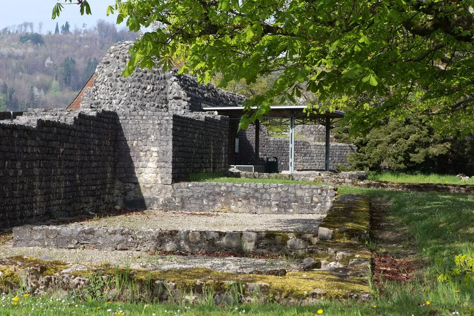
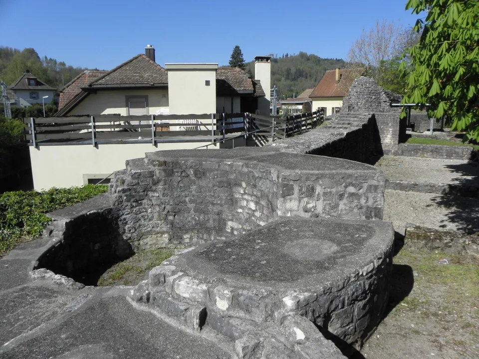
On the Kirchlibuck a section of the fort’s south wall has been rebuilt or restored and made freely accessible to visitors, and the foundations of the west tower survive; smaller pieces of Roman wall have also been made visible again on the buildings along the Burghaldenweg (de.wikipedia). The restored and conserved parts include a section of the south wall with a horseshoe-shaped tower, the south-east round tower, and the foundations of the church with its baptistery and of a building beside it, interpreted as a priest’s house or a room for those preparing for baptism (de.wikipedia). Photographs from 2014 show stepped, conserved walls, the base of a round tower and a roofed shelter on the site (Wikimedia Commons).
The fort’s walls were up to 3.5 m thick and still stand up to 6 m high in places (de.wikipedia). The church was a square hall of 16 m a side with an apse; its font, set in the floor of a narrow room against the fort wall, measured about 1 m square and 60 cm deep and was later made smaller twice (de.wikipedia). The second fort, on the Sidelen to the east, has disappeared: its stone was taken for houses and the site is built over (de.wikipedia).
Is it worth the trip?
Yes, as a short stop if you are in the area or following the Rhine: the walls are substantial, free and open, and the church with its font inside the fort is among the oldest church buildings on the High Rhine (de.wikipedia). It is not a big site, and OpenStreetMap maps no museum within 300 m.
Getting there
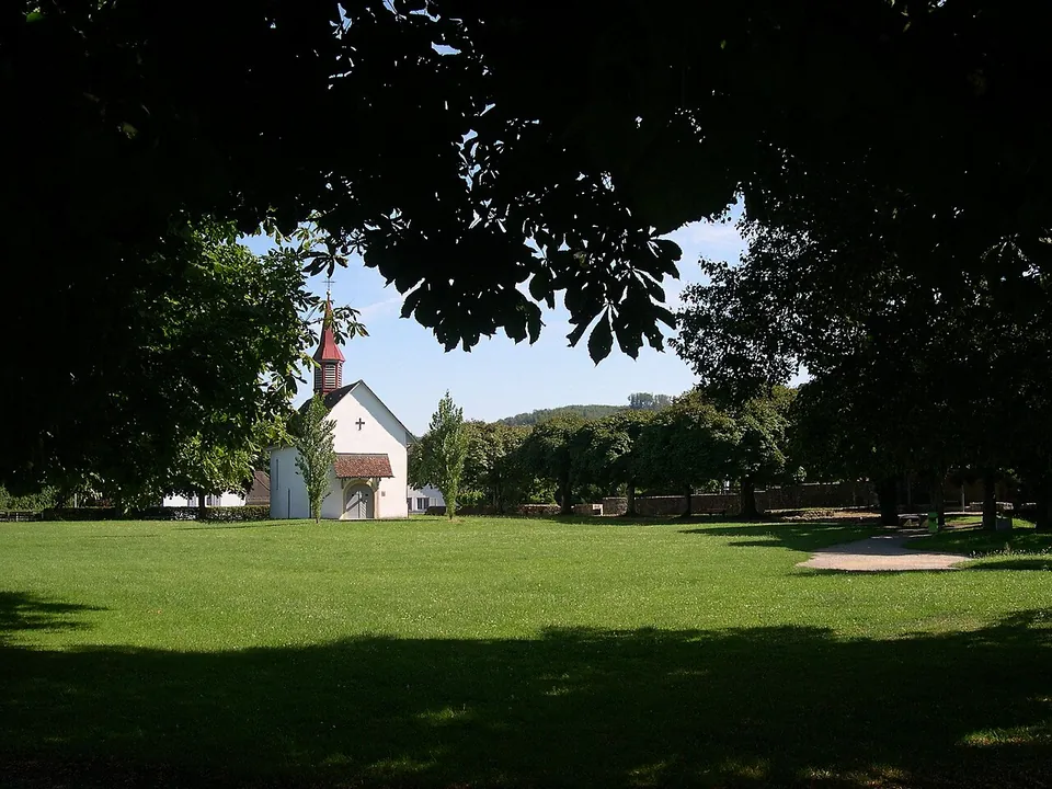
The fort is on the Kirchlibuck in Bad Zurzach, above the Rhine (de.wikipedia). The Triumph bus stop is mapped about 120 m from the remains, and car parks about 165–170 m (OpenStreetMap). The remains are outdoors and open, and no source publishes hours or a charge.
Visiting details
- Opening hours
- Open-air remains on the hill; de.wikipedia describes the south wall as freely accessible to visitors, and no source publishes hours.
- Tickets
- No charge is published or mapped.
- Parking
- Car parks about 165–170 m away (OpenStreetMap, way/509423485; way/509423486 is for customers).
History
Zurzach, Tenedo on the Roman road map, lay where the road from Vindonissa to the upper Danube crossed the Rhine, and an early Roman timber fort and a civilian settlement stood here in the 1st century AD (de.wikipedia). When the frontier fell back to the Rhine in the 3rd century the crossing was fortified again: a fort on the Kirchlibuck and a second one opposite it on the Sidelen, joined by a wall, with a small fort guarding the bridgehead at Rheinheim on the north bank, now in Germany (de.wikipedia). The date of the Kirchlibuck fort is uncertain: it is given both as rebuilt around 315 and as built around or after 360, and either way it is a 4th-century work. Under Valentinian I, around the 370s, the defences were repaired and strengthened and a new bridge was built on stone piers (de.wikipedia).
The church inside the fort was probably built around 400, and its font took its present form in the 5th century; these buildings are among the oldest of their kind on the High Rhine and show Roman Christian life continuing into the Migration Period (de.wikipedia).
Nearby
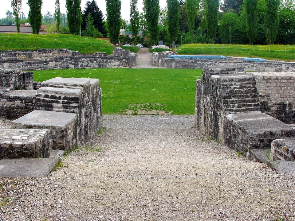
Photo: Roland zh · CC BY-SA 3.0 · Commons
13 km · fort · Brugg District, Aargau
Vindonissa
The Legionärspfad, run by Museum Aargau, is the way into the camp: eleven stations through its excavated sites, among them the amphitheatre, reconstructed legionaries' barracks, a gate, the baths and a Roman garden of 450 m² planted with some 40 species documented by archaeology (the operator).
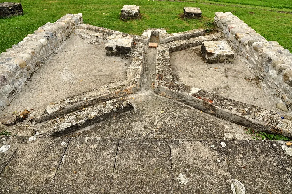
Photo: Roland zh · CC BY-SA 3.0 · Commons
21 km · villa · Bülach District, Zurich
Roman estate of Seeb
The ruins were excavated between 1958 and 1969 and partly conserved (the welcome board; it.wikipedia has systematic excavation from 1963 to 1970).
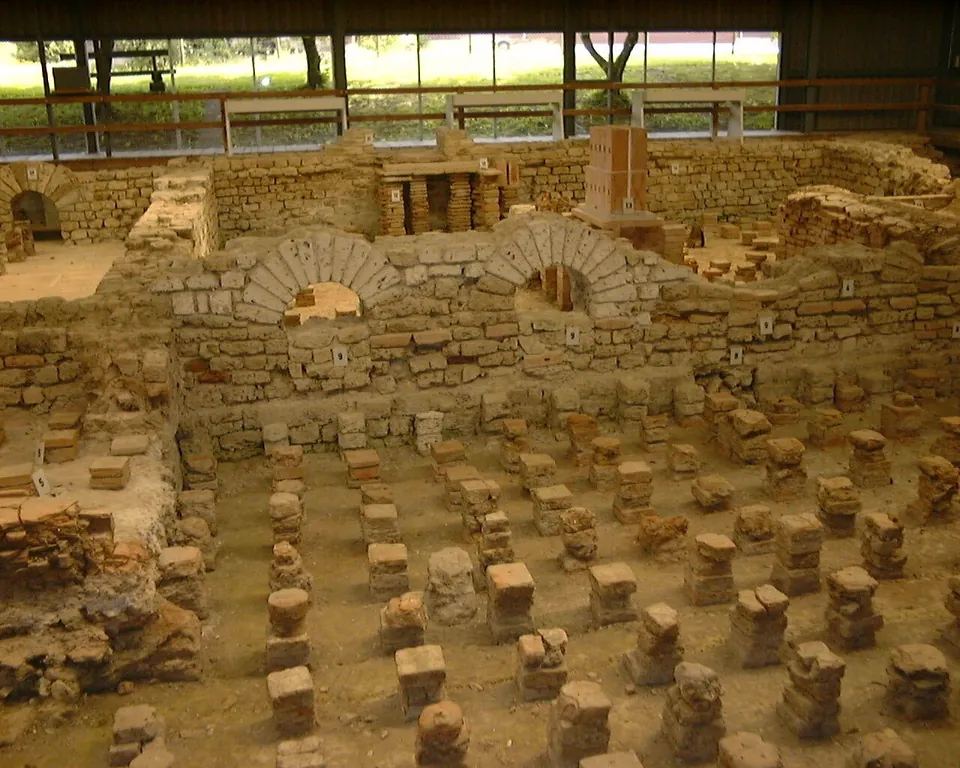
Photo: Nowic · CC BY-SA 3.0 · Commons
22 km · bath · Schleitheim District, Schaffhausen
Iuliomagus
The Thermenmuseum shows the remains of the Roman baths (de.wikipedia): walls of the bath rooms and rows of small brick pillars, under a roof (Wikimedia Commons photograph).


Straight-line distances.
Sources
Every fact on this page comes from the records below, each used under the licence noted.
| Source | Licence |
|---|---|
| Wikidata Q26821526 | CC0 |
| OpenStreetMap way/1054468269 | ODbL |
| Wikipedia (de) — Doppelkastell Kirchlibuck-Sidelen | CC BY-SA 4.0 |