Skip to content
Menu

Country · 14 sites

Roman Hungary

Hungary’s Roman sites belong to the province of Pannonia, whose edge was the Danube. Along much of its course the river formed the empire’s frontier, the Pannonian limes, guarded by forts on its western bank. Opposite Aquincum the eastern bank never came under direct Roman rule; Rome kept only outposts there, among them Contra Aquincum, which in the Middle Ages became the nucleus of the town of Pest.

The largest site is Aquincum, in the Óbuda district of Budapest. It was a legionary fortress with two separate towns, one around the camp and one further north that was legally independent of the army, and for more than two centuries it was the seat of the governor of Lower Pannonia (Pannonia inferior). Its history is presented on the spot at the Aquincum Museum, which includes an archaeological park. Upriver, Brigetio at Komárom-Szőny was another legionary camp, remembered as the place where the emperor Valentinian I died. Downriver, Intercisa at Dunaújváros is counted among the best-researched forts on the Danube frontier, and some of its remains are conserved and open to the public. At the Danube Bend, the late Roman fort on Sibrik hill near Visegrád has been partly excavated and made visible.

Away from the river lie the towns. Savaria, today’s Szombathely, a station on the Amber Road, is probably the oldest Roman town in present-day Hungary; its remains can be seen in a ruin garden, and a partial reconstruction of its sanctuary of Isis, the Iseum, was completed in 2010. Gorsium at Tác, south of Székesfehérvár, grew from a military camp into one of the largest and richest settlements of late Roman Pannonia, and its ruins are now presented by the Szent István Király Museum. In Pécs, Roman Sopianae, a provincial seat in the 4th century, left an early Christian cemetery of decorated tombs and burial chapels that has been on the UNESCO World Heritage List since 2000.

Sources: Wikipedia (de) — Aquincum; Wikipedia (en) — Aquincum; Wikipedia (de) — Contra Aquincum; Wikipedia (de) — Legionslager Brigetio; Wikipedia (de) — Kastell Intercisa; Wikipedia (de) — Kastell Visegrád-Sibrik; Wikipedia (de) — Savaria; Wikipedia (hu) — Savaria; Wikipedia (hu) — Gorsium; Wikipedia (hu) — Sopianae (ókori város); Wikipedia (en) — Early Christian Necropolis of Pécs

Early Christian Necropolis of Pécs
Aquincum
Lussonium
Aquincum military amphitheatre
Gorsium
Savaria – Szombathely
Fertőrákos mithraeum
Hercules villa
Intercisa
Pone Navata
Scarbantia
Villa Romana Baláca
Villa rustica of Szentendre-Skanzen
Campona
Open Hungary on the interactive map

Select Show on map beside a site or town to see where it is.Scroll the list: each site or town is marked on the map as you reach it. The interactive map shows them all.

Landmarks

Landmark

Worth planning a trip around.

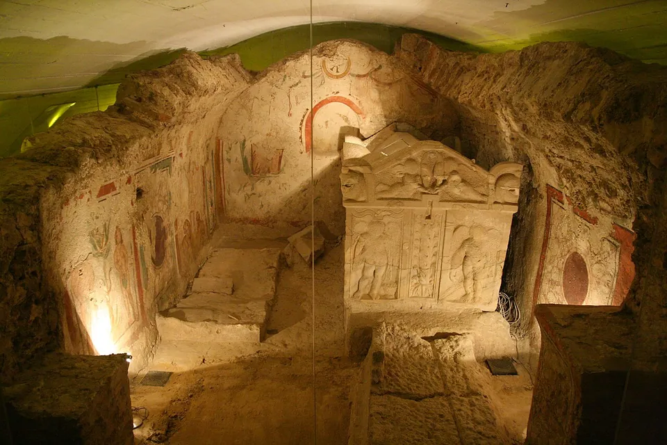
  1. A lit underground burial chamber with walls painted in red, green and ochre figures and borders, a carved stone sarcophagus with figured panels standing in the middle.

    Photo: Lestat (Jan Mehlich) · CC BY-SA 3.0 · Commons

    necropolis · Baranya County

    Early Christian Necropolis of Pécs

    The late Roman tomb monuments under the cathedral square are brought together in the Cella Septichora Visitor Centre.

    Show on map: Early Christian Necropolis of Pécs
    3rd – 4th c. ADTicketed
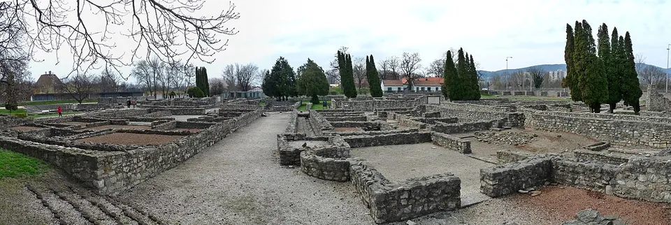
  2. A panorama across the ruin field under a grey sky, with knee-high walls of rough stone enclosing rooms of bare earth, a gravel path running between them and tall cypresses behind.

    Photo: Fekist · CC BY-SA 4.0 · Commons

    city · Budapest

    Aquincum

    The park shows public buildings and private houses of the civil town from the 2nd and 3rd centuries AD, in a layout that follows the town's plan (the operator).

    Show on map: Aquincum
    1st – 7th c. ADTicketed

Hidden gems

Hidden gem

Remains that most visitors to the region never see.

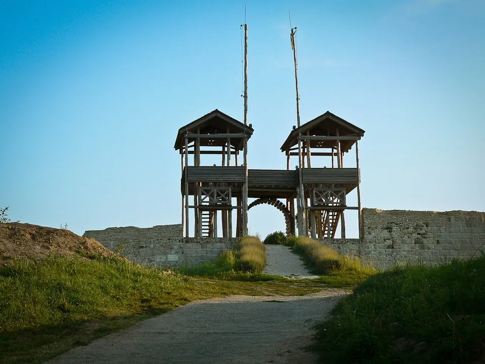
  1. Two square timber towers joined by a wooden walkway standing over an arched gateway in a stone wall, with a path leading up to it between grassy banks under a blue sky.

    Photo: gergo_ · CC BY-SA 2.5 hu · Commons

    fort · Tolna County

    Lussonium

    The park shows the remains of the fortifications, the defensive ditches and walls 1.3 m thick (the town of Paks).

    Show on map: Lussonium
    1st – 5th c. ADFree
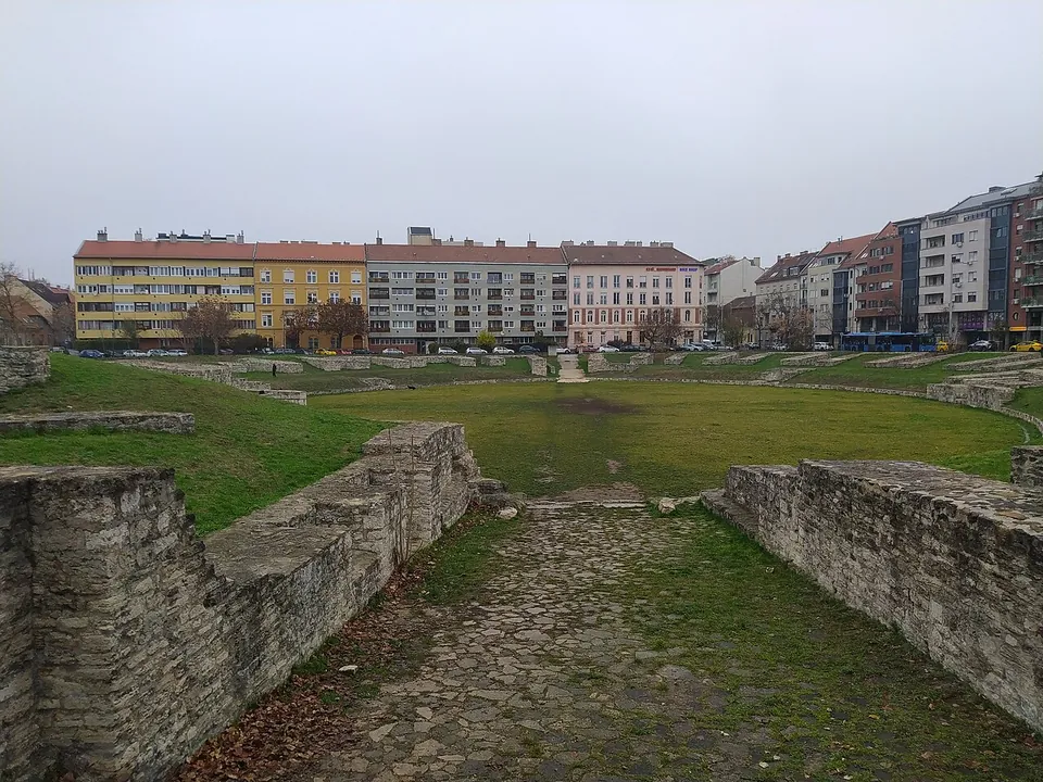
  2. Looking down a stone-paved entrance passage between two rough limestone walls into a wide grassed arena, its far side lined with low wall stubs and, beyond them, a row of apartment buildings.

    Photo: Envagyokabela · CC BY-SA 4.0 · Commons

    amphitheatre · Budapest

    Aquincum military amphitheatre

    The building measures 131.9 by 108.4 m and is estimated to have held 12,000 to 13,000 spectators (de.wikipedia).

    Show on map: Aquincum military amphitheatre
    2nd – 3rd c. ADFree
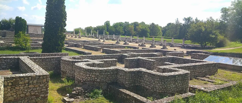
  3. A maze of conserved stone foundation walls in the foreground, with a long row of stone column bases standing on a lawn behind them and a tall cypress on the left.

    Photo: Cornu · CC BY-SA 4.0 · Commons

    city · Fejér County

    Gorsium

    The park is a walk through a town of foundations, with a few reconstructions.

    Show on map: Gorsium
    1st – 5th c. ADTicketed
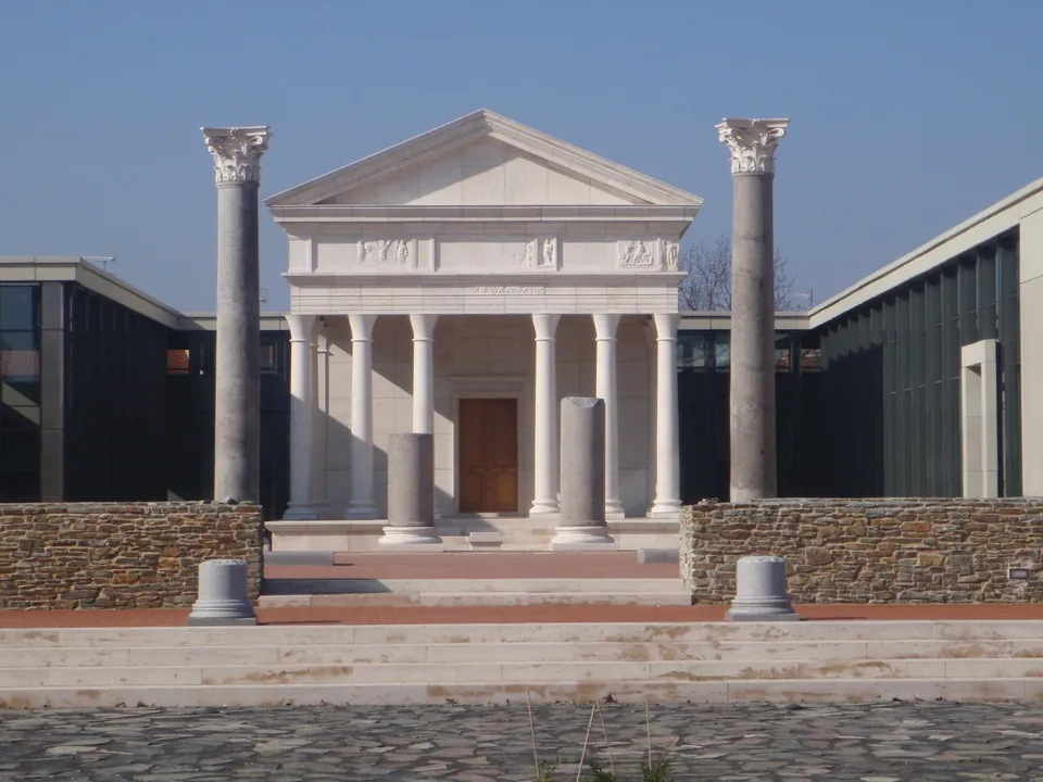
  4. A white temple front with a triangular pediment on slender columns, set back behind two tall free-standing Corinthian columns and low walls of rough stone, with modern glass-and-concrete museum wings on either side.

    Photo: Pan Peter12 · CC BY 3.0 · Commons

    city · Vas County

    Savaria – Szombathely

    The Iseum Savariense, on Rákóczi Ferenc utca, is the sanctuary of the Egyptian goddess Isis.

    Show on map: Savaria – Szombathely
    1st – 5th c. ADTicketed
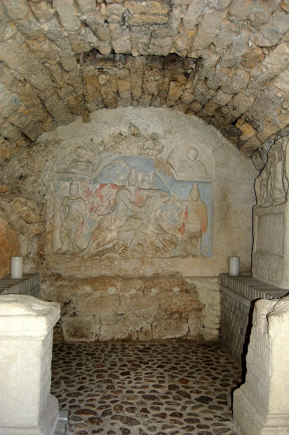
  5. Inside a low vault of rough stone, a coloured relief on the end wall shows a figure in a cap pinning a bull with his knee, flanked by two standing torch-bearers and two busts above, with carved stone altars in the foreground on a cobbled floor.

    Photo: Wolfgang glock · CC BY-SA 3.0 · Commons

    temple · Győr-Moson-Sopron County

    Fertőrákos mithraeum

    The temple follows the usual plan of a mithraeum, an entrance hall and then the sanctuary proper, a sunken central aisle with benches along each side (en.wikipedia).

    Show on map: Fertőrákos mithraeum
    2nd – 3rd c. ADFree
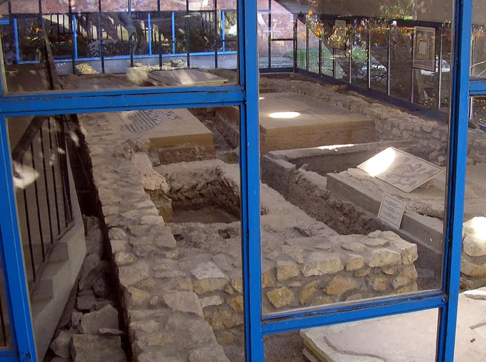
  6. Seen through the blue-framed glass walls of a shelter, low stone walls of excavated rooms with patches of mosaic floor and small information labels set among them.

    Photo: Vadaro · Public domain · Commons

    villa · Budapest

    Hercules villa

    Three rooms with mosaic floors are displayed in a large protective building, some with geometric patterns and some with figures, and a separate building shows more mosaics; in the garden are late Roman stone coffin graves (the operator).

    Show on map: Hercules villa
    1st – 3rd c. ADTicketed
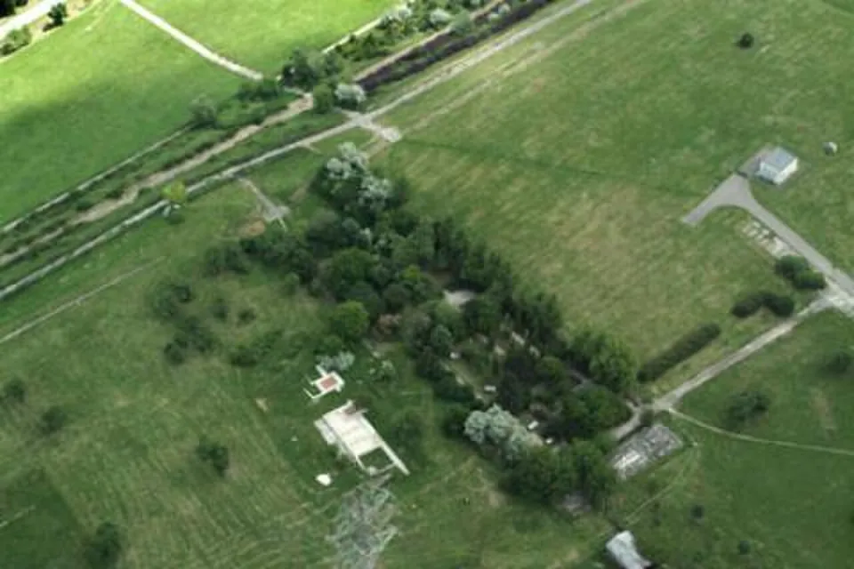
  7. An aerial view of a grassy plateau crossed by paths and lines of trees, with a small white roofed structure and a pale rectangle of foundations among the grass and a power pylon in the foreground.

    Photo: Civertan · CC BY-SA 3.0 · Commons

    fort · Fejér County

    Intercisa

    On the fort site the museum's Roman lapidarium displays carved stones from the camp, which was in use from the 1st century AD to the early 5th, and around it you can see restored remains of part of the commander's building, a road leading from it, the north-east and south-east towers and the south gate (the operator).

    Show on map: Intercisa
    1st – 5th c. ADTicketed
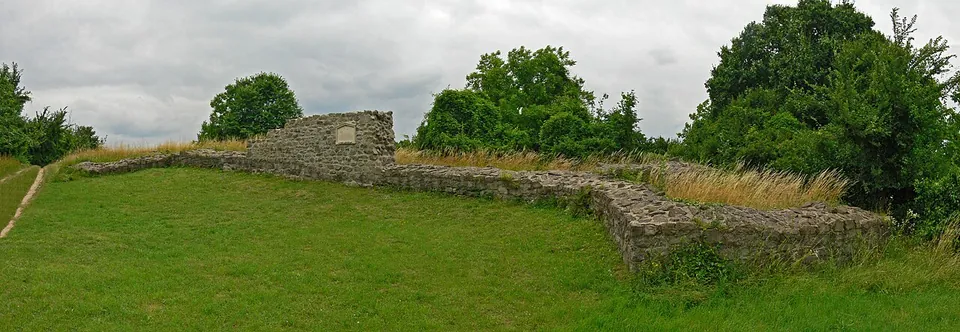
  8. A long, low run of rough stone wall across a grassy slope, rising at one end to a squared block of masonry with a small plaque on it, trees and dry grass behind.

    Photo: Sudika · CC BY-SA 3.0 · Commons

    fort · Pest County

    Pone Navata

    The fort was an irregular four-sided enclosure of about 114 by 130 m, fitted to the hilltop, with walls 1.1 to 1.2 m thick, horseshoe-shaped towers along the sides and fan-shaped towers at the corners (de.wikipedia; Pleiades).

    Show on map: Pone Navata
    4th c. ADFree
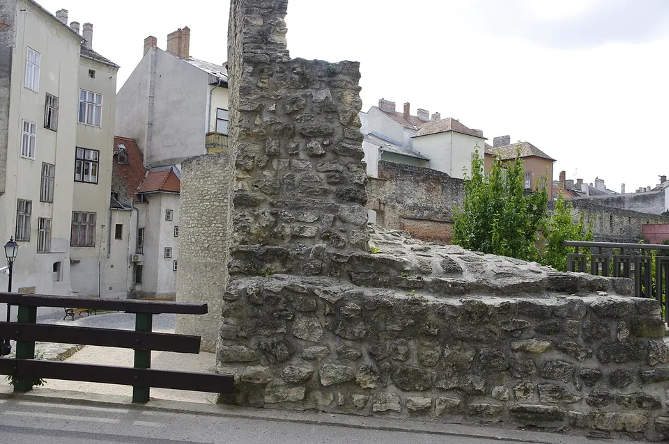
  9. A rough stone wall, tall at one end and stepping down to a low wall top beside a railing, with old town houses behind.

    Photo: Traumrune · CC BY-SA 3.0 · Commons

    city · Győr-Moson-Sopron County

    Scarbantia

    Sopron's oldest town wall, the central one of the three medieval rings, was built by the inhabitants of Scarbantia at the end of the 3rd century or the beginning of the 4th, and it can be seen in the Castle Wall Garden behind the Museum Quarter on the main square (the operator).

    Show on map: Scarbantia
    1st c. BC – 7th c. ADFree
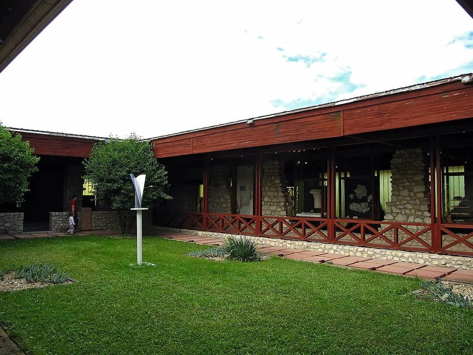
  10. Low museum buildings with dark red timber roofs and railings around a lawn, with rough stone walls visible behind their glazing and a slender white sculpture on the grass.

    Photo: Monyesz · CC BY-SA 3.0 · Commons

    villa · Veszprém County

    Villa Romana Baláca

    The heart of the site is the owners' main house, about 2,400 m² in floor area and one of the largest villa buildings known in Pannonia; its mosaic floors and wall paintings show how wealthy the owners were (the operator).

    Show on map: Villa Romana Baláca
    2nd – 4th c. ADTicketed
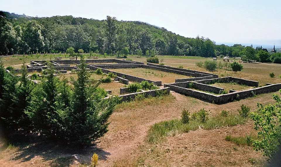
  11. The conserved foundation walls of a large house laid out as a grid of rooms across a dry meadow, with young conifers in the foreground and wooded hills behind.

    Photo: Mediatus · CC BY-SA 3.0 · Commons

    villa · Pest County

    Villa rustica of Szentendre-Skanzen

    The foundations of the main building are almost completely exposed and open to visitors; they were conserved between 1981 and 1984 by an international building camp, after years of exposure to the weather (de.wikipedia).

    Show on map: Villa rustica of Szentendre-Skanzen
    2nd – 4th c. ADTicketed
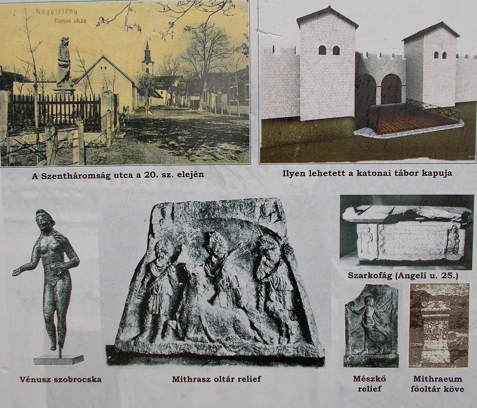
  12. An information board with photographs of finds - a bronze statuette of Venus, a stone relief of Mithras, a sarcophagus and smaller reliefs - beside a drawing of a reconstructed fort gate with two square towers and an old postcard of the village street.

    Photo: Globetrotter19 · CC BY-SA 3.0 · Commons

    fort · Budapest

    Campona

    Of the fort itself, little stands: its ruins were visible for a long time, but today only the stumps of a few wall sections show above ground (hu.wikipedia).

    Show on map: Campona
    2nd – 5th c. ADTicketed