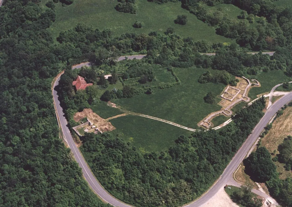
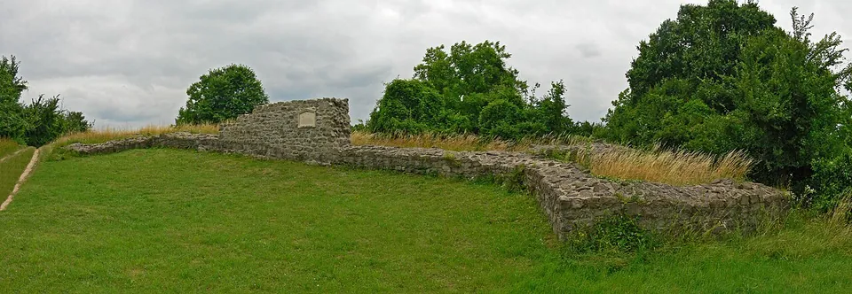
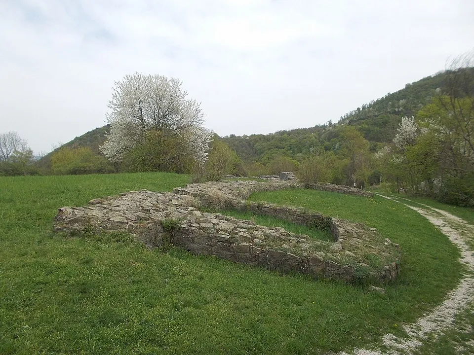


Pone Navata is a late Roman frontier fort on Sibrik hill near Visegrád, at the entrance to the Danube Bend, partly excavated and made visible on the open hilltop (de.wikipedia; hu.wikipedia). Some of what stands belongs to the medieval county castle that later used the site (Commons file descriptions quoting the monument record).
What is there today
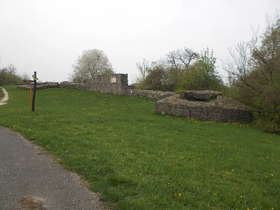
The fort was an irregular four-sided enclosure of about 114 by 130 m, fitted to the hilltop, with walls 1.1 to 1.2 m thick, horseshoe-shaped towers along the sides and fan-shaped towers at the corners (de.wikipedia; Pleiades). What you see are its restored foundations: low runs of wall and tower bases in the grass, with footpaths and a signpost among them. The site’s monument record lists both the foundation walls of the Roman fort, of the early 4th century, and the ruins of a county castle of the 10th and 11th centuries, so not every wall on the hill is Roman (Commons file descriptions quoting the record). OpenStreetMap marks the ruins of the ispán’s palace about 50 m away.
Is it worth the trip?
If you are in Visegrád, it is worth the short climb: the outline of a late Roman frontier fort on an open hilltop, free and unfenced, next to the town’s medieval sights. On its own it is low walls in a meadow, with no operator recorded.
Getting there
The fort lies beside Panoráma út on Sibrik hill, about 1.7 km from the centre of Visegrád, in Pest County. The nearest car park is the Salamon Tower’s, about 110 m away, which charges a fee; no bus stop or railway station is mapped within 300 m (OpenStreetMap).
No operator publishes opening hours or a ticket for the hill. The remains lie on open meadow crossed by footpaths, with no gate recorded.
Visiting details
- Tickets
- Free
- Parking
- The car park of the Salamon Tower, about 110 m away, charges a fee (OpenStreetMap).
Before you go
- No operator publishes opening hours or a ticket; the remains lie on open meadow by Panoráma út.
- No bus stop or railway station is mapped within 300 m; the centre of Visegrád is about 1.7 km away.
History
The fort guarded a stretch of the Danube, which here formed the empire’s frontier (de.wikipedia), and stood at the entrance to the Danube Bend (hu.wikipedia). Its ancient name was probably Pone Navata (de.wikipedia). The Hungarian article says it was built on the orders of Constantine I; the excavator, Soproni, dated its first phase to the late 320s from coin finds, while Visy proposes the 350s or 360s, and the date is still debated (de.wikipedia). The fort’s garrison, the Auxilia Ursarensia, left around 380, after the death of Valentinian I, though a smaller fortlet may have remained in use until Rome gave up the province (de.wikipedia).
The Roman walls stayed in use into the high Middle Ages (de.wikipedia), and thanks to more or less continuous occupation the fort stood until the Mongol invasion (hu.wikipedia). Soproni excavated it between 1951 and 1975 (de.wikipedia).
More photographs

Nearby
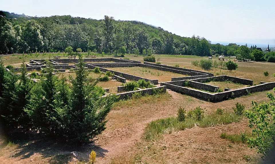
Photo: Mediatus · CC BY-SA 3.0 · Commons
13 km · villa · Pest County
Villa rustica of Szentendre-Skanzen
The foundations of the main building are almost completely exposed and open to visitors; they were conserved between 1981 and 1984 by an international building camp, after years of exposure to the weather (de.wikipedia).
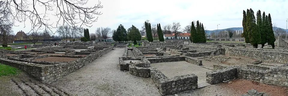
Photo: Fekist · CC BY-SA 4.0 · Commons
27 km · city · Budapest
Aquincum
The park shows public buildings and private houses of the civil town from the 2nd and 3rd centuries AD, in a layout that follows the town's plan (the operator).
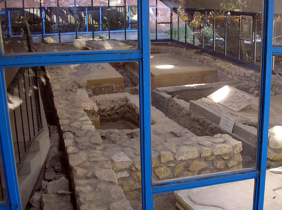
Photo: Vadaro · Public domain · Commons
28 km · villa · Budapest
Hercules villa
Three rooms with mosaic floors are displayed in a large protective building, some with geometric patterns and some with figures, and a separate building shows more mosaics; in the garden are late Roman stone coffin graves (the operator).


Straight-line distances.
Sources
Every fact on this page comes from the records below, each used under the licence noted.
| Source | Licence |
|---|---|
| Pleiades 197452 | CC BY |
| Wikidata Q647481 | CC0 |
| Vici.org 7252 | CC BY-SA (text), CC0 (metadata) |
| OpenStreetMap way/165624810 | ODbL |
| Wikipedia (de) — Kastell Visegrád-Sibrik | CC BY-SA 4.0 |
| Wikipedia (hu) — Pone Navata | CC BY-SA 4.0 |