

What is there today
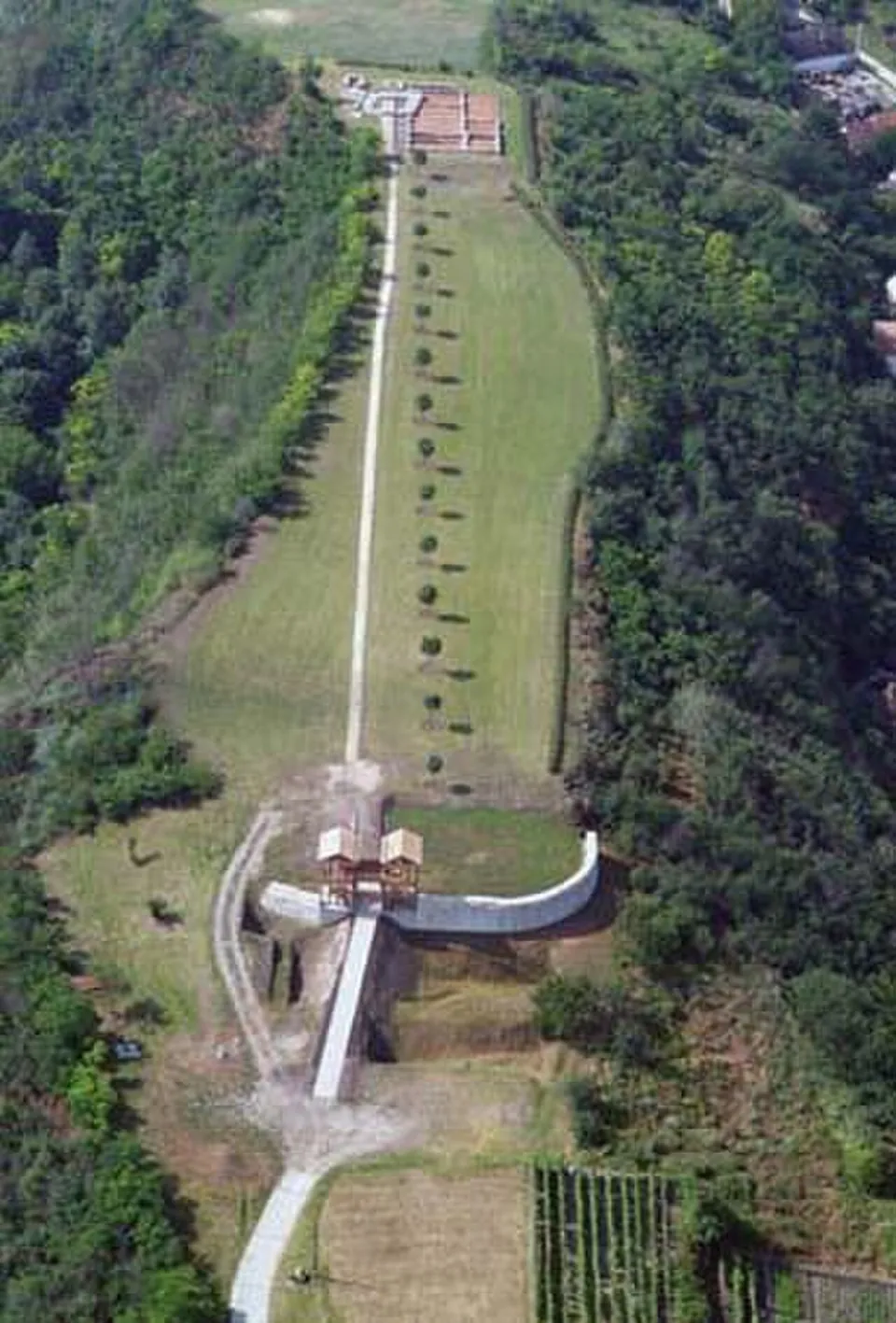
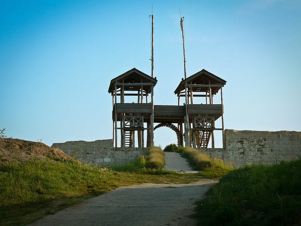
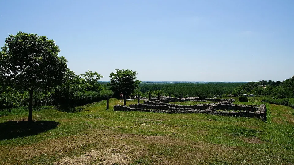
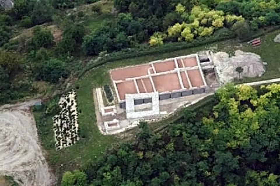
The park shows the remains of the fortifications, the defensive ditches and walls 1.3 m thick (the town of Paks). A restoration in 2003 restored the south gate, a barracks building and a late Roman small fort, and in 2008 the north wall and its gate tower were reconstructed (the town of Paks); the gate’s timber superstructure is a partial reconstruction (de.wikipedia). Not all of the fort is there to see: about 130 m of the hill’s eastern slope has slid into the Danube, which ran along the foot of the hill until the 19th century (de.wikipedia).
Is it worth the trip?
As a stop on the way along the Danube south of Budapest, yes: it is free, open most of the year, and the rebuilt gate on its hilltop gives a frontier fort a shape you can read. As a trip in its own right it is modest: the rebuilt gates, conserved foundations on a grassy plateau and the view over the plain.
Getting there
The site is at Bottyán-sánc in Paks-Dunakömlőd, reached from main road 6 (the town of Paks), up Sánchegy utca from the village (Commons file description). A car park is mapped about 220 m away, but no bus stop or railway station is mapped within 300 m, and the centre of Paks is 4 km off (OpenStreetMap).
It is open freely from 1 March to 10 December, and there is no admission charge; guided tours can be booked through the Paks City Museum, which manages the site, on +36 75 830 373 (the town of Paks, read 4 October 2026).
Visiting details
- Opening hours
- Open freely from 1 March to 10 December.
- Tickets
- Free. Guided tours on request from the Paks City Museum (+36 75 830 373).
- Parking
- A car park about 220 m from the fort (OpenStreetMap).
Before you go
- Closed from 11 December to the end of February.
- No bus stop or railway station is mapped within 300 m; the centre of Paks is 4 km away.
Hours and prices checked 4 October 2026 on the operator's own site. Confirm before travelling.
History
Lussonium was one of the forts guarding the Danube, which here formed the empire’s frontier, and it counts among the earliest and longest-occupied garrison places of Lower Pannonia (de.wikipedia). It began around AD 50 as a fort of earth and timber, and soldiers were stationed here until the early 5th century at the latest; the main early garrison was the Cohors I Alpinorum peditata (de.wikipedia).
The hill takes its modern name from a later war. In 1705–06, during the fighting against Habsburg rule, insurgent forces under János Bottyán fortified the site, and it was these battles that first made the place known beyond the region (de.wikipedia). Finds from the excavations are held by the Hungarian National Museum in Budapest (de.wikipedia).
More photographs


Nearby
Photo: Civertan · CC BY-SA 3.0 · Commons
36 km · fort · Fejér County
Intercisa
On the fort site the museum's Roman lapidarium displays carved stones from the camp, which was in use from the 1st century AD to the early 5th, and around it you can see restored remains of part of the commander's building, a road leading from it, the north-east and south-east towers and the south gate (the operator).

Straight-line distances.
Sources
Every fact on this page comes from the records below, each used under the licence noted.
| Source | Licence |
|---|---|
| Pleiades 197362 | CC BY |
| Wikidata Q1563545 | CC0 |
| Vici.org 7250 | CC BY-SA (text), CC0 (metadata) |
| OpenStreetMap relation/7671189 | ODbL |
| Wikipedia (de) — Kastell Lussonium | CC BY-SA 4.0 |
| Wikipedia (it) — Lussonium | CC BY-SA 4.0 |
| Town of Paks — Lussonium (római kori romkert) (the operator's town) | licence not recorded |