

What is there today
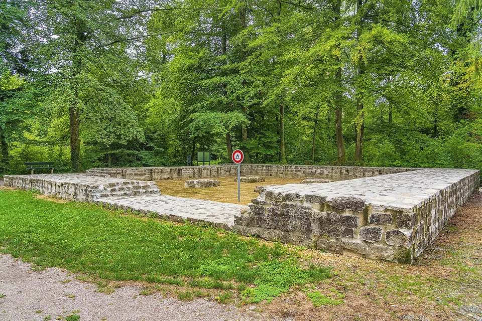
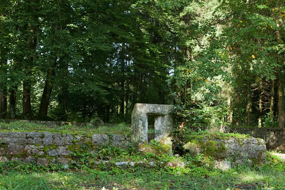
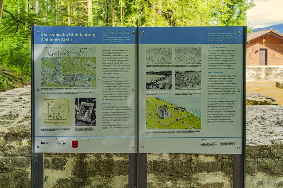
Of the three Roman watchtowers known at Wallbach, only the burgus at Stelli has been fully excavated, conserved and partly reconstructed (de.wikipedia). What you see is the square of its walls at the edge of the wood, with a window slit preserved complete, and an information board (Wikimedia Commons photographs). It was a massive, tower-like stone building with more of the character of a small fort than an ordinary watchtower: the finds point to at least two storeys, a wall-walk and a roofed light well, and it probably also served as a supply station for the neighbouring towers (de.wikipedia).
Is it worth the trip?
If you are following the Rhine or visiting Augusta Raurica, yes, as a short stop: it is fully excavated and conserved, free and easy to reach. On its own it is a small ruin.
Getting there
The burgus is in Wallbach, in the Fricktal on the High Rhine (de.wikipedia). A car park is mapped about 30 m away (OpenStreetMap). The ruins are tagged as open to the public, and no source publishes hours or a charge.
Visiting details
- Opening hours
- Open-air ruins; OpenStreetMap tags them access=yes, and no source publishes hours.
- Tickets
- No charge is published or mapped.
- Parking
- A car park about 30 m away (OpenStreetMap, way/30007784).
History
The burgus was part of the late antique Danube–Iller–Rhine frontier, which here protected the province of Maxima Sequanorum until the frontier troops had to withdraw from the Rhine in the early 5th century. Its plan resembles some of the burgi built at the same time on the Danube frontier in Austria and Hungary (de.wikipedia).
Nearby
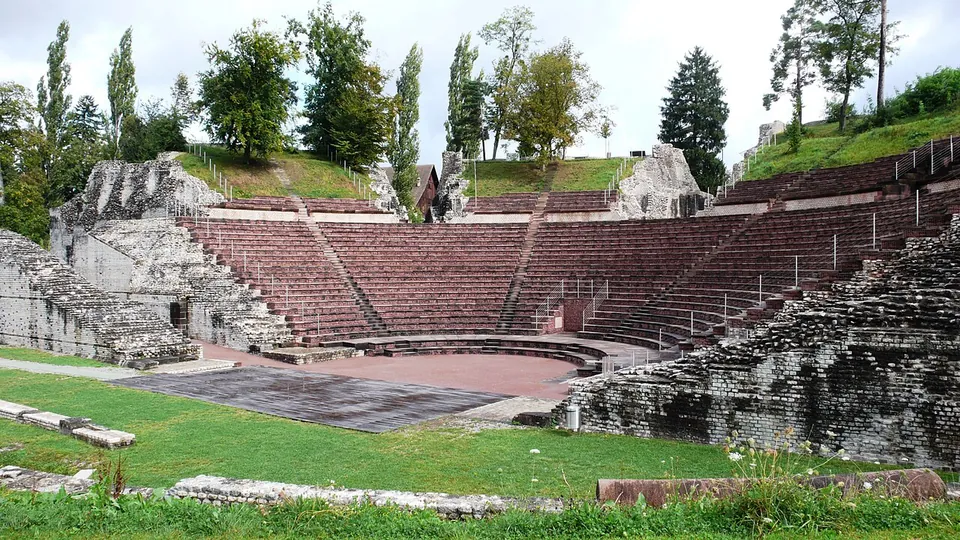
Photo: Guido Radig · CC BY-SA 3.0 · Commons
15 km · city · Liestal District, Basel-Landschaft
Augusta Raurica
The operator lists the open-air site, its protected monuments and an animal park as free, and the open-air site as open around the clock; fr.wikipedia puts the open-air sights at more than twenty.
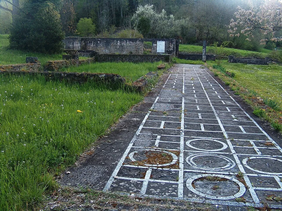
Photo: Umschattiger · CC BY-SA 3.0 · Commons
17 km · villa · Liestal District, Basel-Landschaft
Roman villa of Munzach
The estate measured about 160 by 320 m.
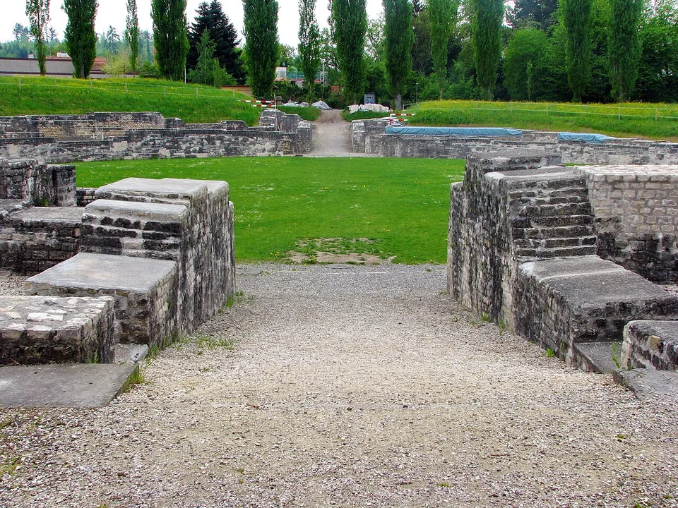
Photo: Roland zh · CC BY-SA 3.0 · Commons
26 km · fort · Brugg District, Aargau
Vindonissa
The Legionärspfad, run by Museum Aargau, is the way into the camp: eleven stations through its excavated sites, among them the amphitheatre, reconstructed legionaries' barracks, a gate, the baths and a Roman garden of 450 m² planted with some 40 species documented by archaeology (the operator).


Straight-line distances.
Sources
Every fact on this page comes from the records below, each used under the licence noted.
| Source | Licence |
|---|---|
| Wikidata Q19362398 | CC0 |
| OpenStreetMap node/1490575251 | ODbL |
| Wikipedia (de) — Burgus Wallbach-Stelli | CC BY-SA 4.0 |
| KGS inventory 276 — Stelli, Teil der spätrömischen Rheinbefestigung (BABS) | licence not recorded |