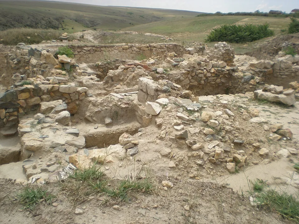
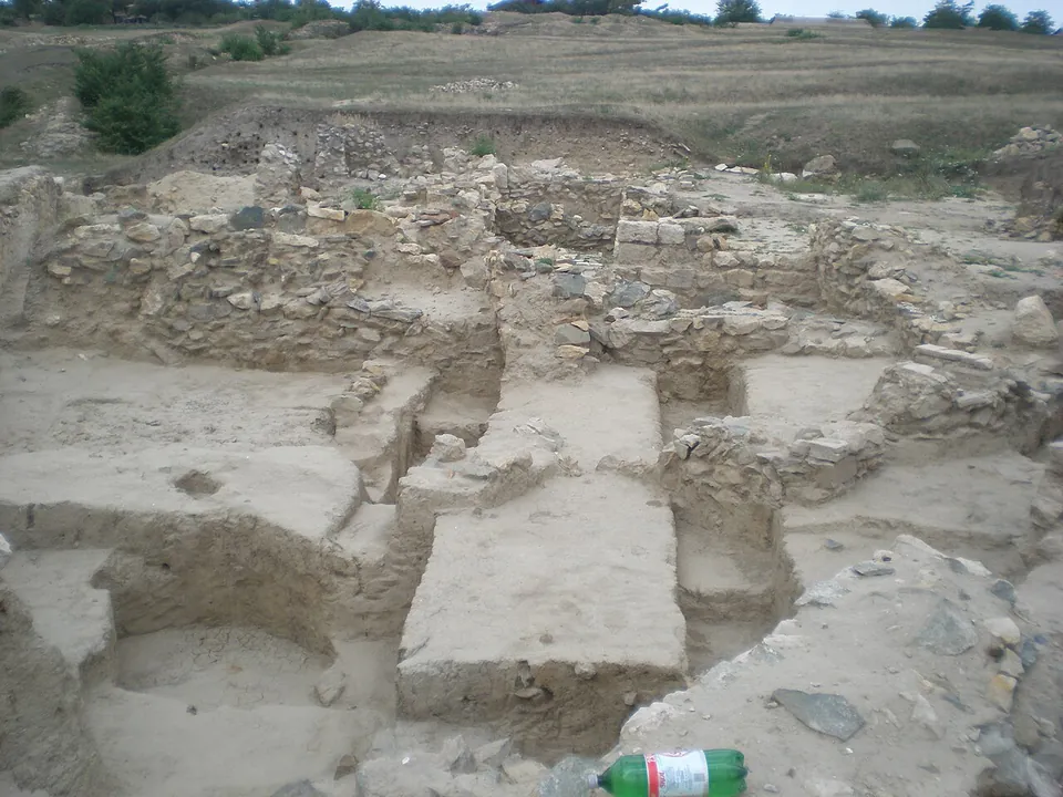
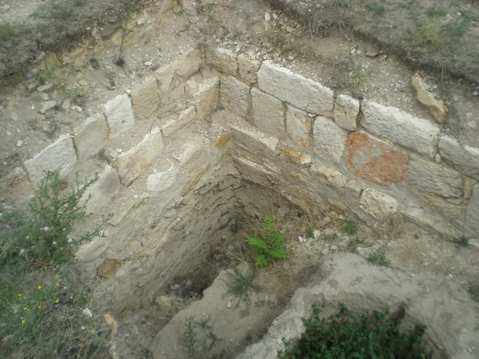


Ulmetum is a late Roman fortress on a plateau at the edge of the village of Pantelimon in central Dobruja. It was built at the end of the 4th century to watch a road junction between the Danube and the Black Sea coast. Its walls, gates and towers were uncovered from 1911, and excavation resumed in 2004. What you see is a working dig rather than a site laid out for visitors.
What is there today
The fortress is an irregular trapezoid of about 2 ha, with 13 towers and two main gates, to the south-west and the north-west; the north-west gate was walled up at some point in its history (MINAC). The archaeologist Vasile Pârvan uncovered the whole enclosure wall, the gates and the towers between 1911 and 1914 (MINAC). On the exposed sides an earth rampart and ditch were added in front of the walls. They are still partly visible, though modern houses cover them on the south-west (MINAC).
Inside, excavators have identified a few soldiers’ barracks, an apsidal building of the 4th century that is conventionally called the praetorium, and an early Christian basilica (MINAC). The basilica, in the south-east corner, had three aisles and reached 26 by 13 m at its largest. It was heavily robbed already in antiquity, and very little of its foundations and walls survives (MINAC). The national list of historic monuments also records an earth fort as part of the site.
Is it worth the trip?
Only if you are crossing central Dobruja anyway and enjoy excavations. The walls and the scale of the fortress are real, but the site is not set up for visitors. MINAC, the Constanța museum that excavates it, lists Ulmetum among its “other archaeological sites”, not among its “museums in the territory” such as Histria and Capidava, and no source records signs, a ticket office or opening hours.
Getting there
The fortress stands at the eastern edge of the village of Pantelimon, in Constanța County (ro.wikipedia). A village street, Strada Mieilor, passes about 170 m from it, and an unpaved track passes about 200 m away (OpenStreetMap). No bus stop or railway station is mapped nearby, so you will need a car.
No operator publishes opening hours or admission (searched 3 October 2026).
Visiting details
- Tickets
- Unknown
Before you go
- No operator publishes opening hours or admission (searched 2026-10-03); the Constanța museum (MINAC), which excavates the site, lists it among its "other archaeological sites", not among its "museums in the territory".
- No bus stop or railway station is mapped near the site; it lies at the eastern edge of the village of Pantelimon.
History
The plateau was chosen for its natural defences: the valley of the Pantelimon stream on the south and south-east, a ravine on the north and north-east. In Roman times three roads met here: one through the middle of Dobruja from Marcianopolis to Noviodunum, and two linking the coast to the Danube, from Histria to Capidava and from Tomis to Carsium (MINAC). The Latin name means “elm wood” (ro.wikipedia).
In the 2nd and 3rd centuries a village lay just to the west, under today’s Pantelimonu de Sus, home to a mixed population of local Getae or Thracians and Roman settlers who farmed and raised animals. Whether it is the vicus Ulmetum named in inscriptions later built into the walls is still an open question. There seems also to have been a road station on the plateau (MINAC).
The fortress was raised in the second half of the 4th century, when the migration of the Goths unsettled the region. Work began no earlier than the end of Valens’ reign (364–378) and was finished under Theodosius I (379–395), probably by both Roman soldiers and barbarians (MINAC). en.wikipedia instead describes the walls as greatly strengthened at that time. In the 4th and 5th centuries groups of foederati, allies of the empire, lived here with their families (MINAC); ro.wikipedia speaks of hundreds of Goths. Unusually, some graves lie inside the fortress (MINAC), among them, at its centre, the grave of a Germanic noble (ro.wikipedia).
The fortress was badly damaged in the mid-5th century, most probably by the Huns, and occupation ended after another attack around 470/480 (MINAC). After 70 to 80 years it was rebuilt under Justinian I. The historian Procopius wrote that Slavs had used it as a lookout until nothing but the name remained, and that Justinian rebuilt it from the foundations (MINAC). It was finally destroyed and abandoned when the Danube frontier collapsed at the end of the 6th or the beginning of the 7th century (MINAC).
Nearby
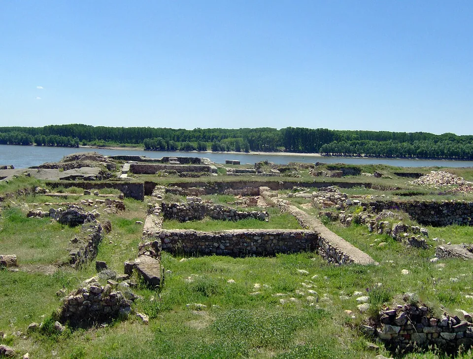
Photo: Elerium at Romanian Wikipedia · Public domain · Commons
21 km · fort · Constanța County
Capidava
The fortress is a rectangle of 105 by 127 m with walls over 2 m thick; it had seven towers, three rectangular, two quarter-circle and two horseshoe-shaped, and a gate 2.5 m wide on the south-east side, with an outlet towards the river port on the south-west (en.wikipedia).
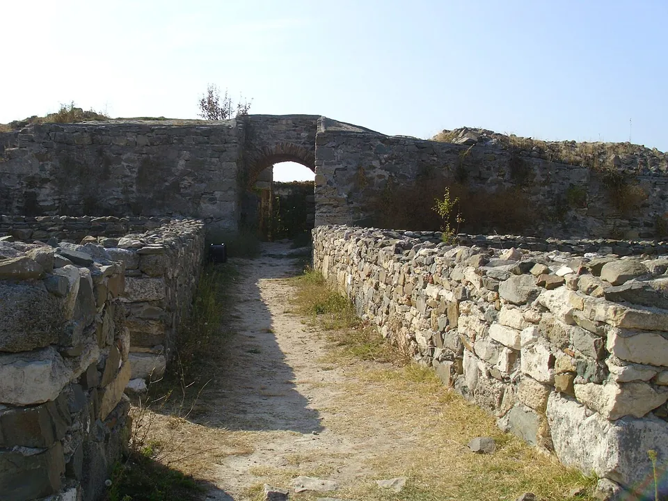
Photo: Mv ank · CC BY-SA 3.0 · Commons
34 km · city · Constanța County
Histria
The site is two cities in one, and it helps to know which is which.
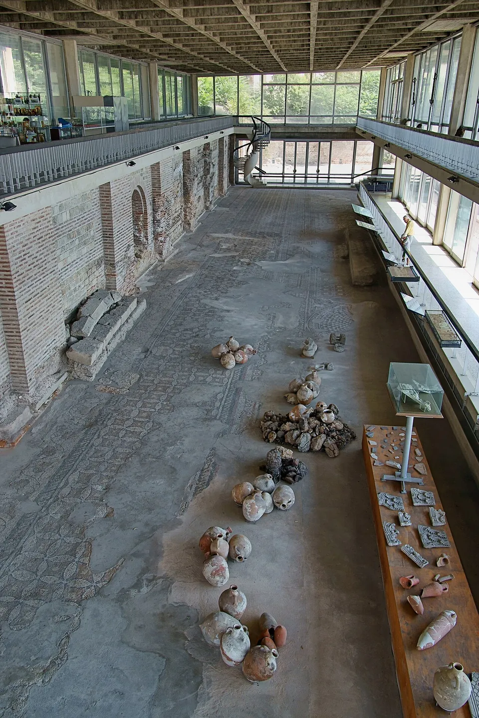
Photo: Alexandru Pănoiu from Bucharest, Romania · CC BY-SA 2.0 · Commons
48 km · city · Constanța County
Tomis
The Roman Mosaic Edifice was built in the 4th century, probably under Constantine the Great, on the western cliff above the modern port, replacing earlier harbour buildings; it linked the level of the city with that of the ancient harbour on several terraces (ro.wikipedia).


Straight-line distances.
Sources
Every fact on this page comes from the records below, each used under the licence noted.
| Source | Licence |
|---|---|
| Pleiades 217056 | CC BY |
| Wikidata Q7879240 | CC0 |
| OpenStreetMap way/288470379 | ODbL |
| MINAC — Cetatea Ulmetum (the museum that excavates the site) | licence not recorded |
| Wikipedia (ro) — Castrul roman Ulmetum | CC BY-SA 4.0 |
| Wikipedia (en) — Ulmetum (castra) | CC BY-SA 4.0 |
| Cronica cercetărilor arheologice — Pantelimon, Cetate, 2011 (cIMeC) | licence not recorded |