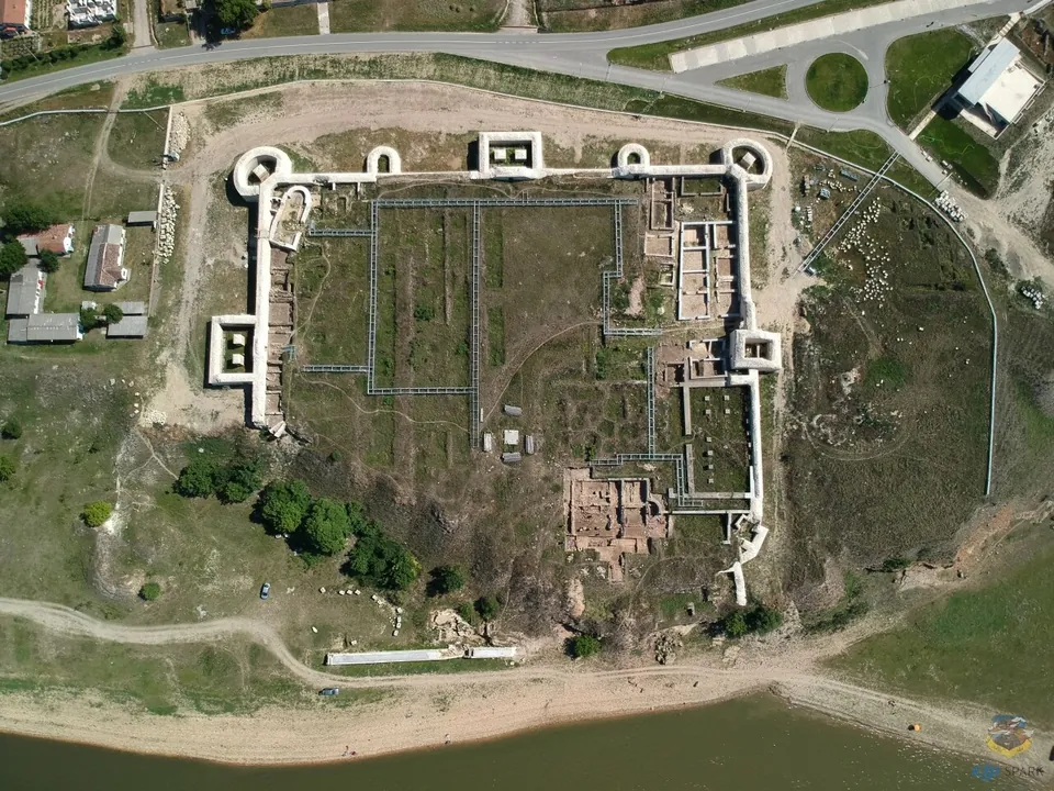
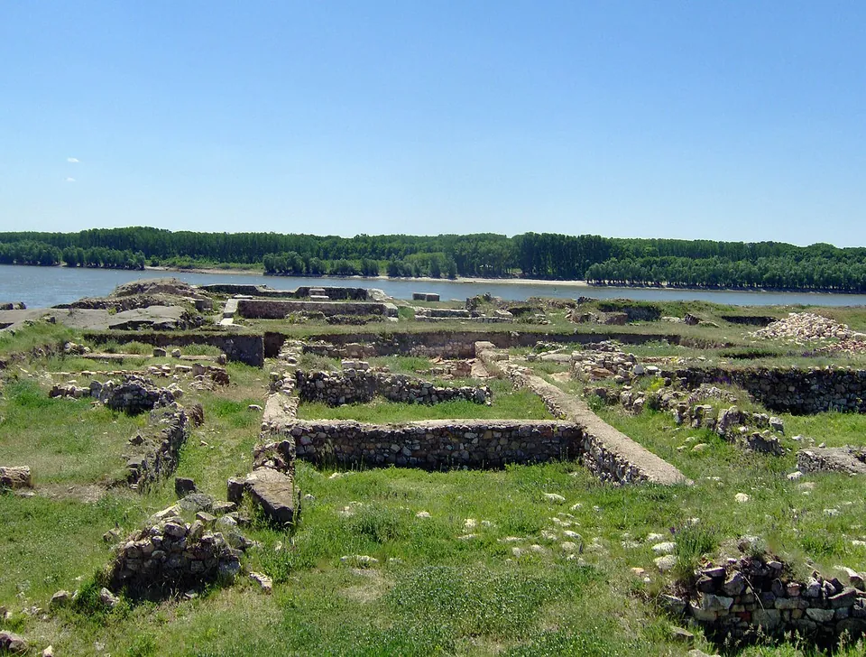
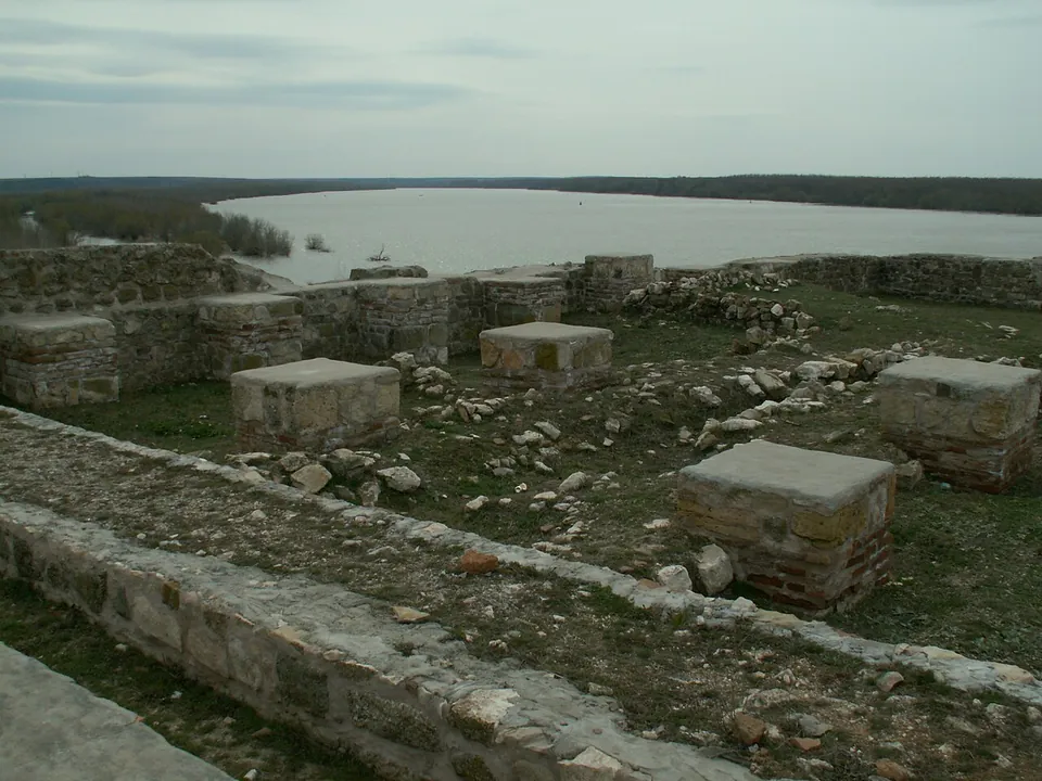


What is there today
The fortress is a rectangle of 105 by 127 m with walls over 2 m thick; it had seven towers, three rectangular, two quarter-circle and two horseshoe-shaped, and a gate 2.5 m wide on the south-east side, with an outlet towards the river port on the south-west (en.wikipedia). Visitors can see the precinct wall, the gate with its tower and the line of the horseshoe-tower foundations; in the south part, the foundation of the wall of the late fort and its ditch, with the guard building; and inside, several buildings round a small square with porches, paths and drains (en.wikipedia). The port, with a wharf below the water, was a station of the Danube fleet, and the baths lay outside the walls to the south-east (en.wikipedia).
The site was reoccupied in the 10th century by a Byzantine settlement, with more than 340 sunken-floor houses found inside the walls, until the Pechenegs destroyed it in 1036 (en.wikipedia). The fortress itself is Roman and late Roman; the Byzantines reused it (en.wikipedia).
Is it worth the trip?
Yes. The walls on their rock above the Danube are the reason to come, and the site is compact enough to see in a short visit. It makes a natural pair with the other Danube forts and with Adamclisi.
Getting there
Capidava lies in the village of the same name in Topalu commune, reached by the road from Hârșova (the E61) or from Cernavodă (en.wikipedia). A car park is mapped about 150 m from the fort (OpenStreetMap).
From 1 October 2026 to 30 April 2027 the operator, the Museum of National History and Archaeology in Constanța (MINAC), opens the Capidava archaeological complex Wednesday to Sunday, 09.00 to 17.00; it is closed on Mondays and Tuesdays. A ticket is 14 RON, about €2.60, with 8 RON for pensioners and 4 RON for pupils and students, and a guide costs 70 RON, about €13 (minac.ro, read 3 October 2026). The summer schedule for 2027 was not yet published.
Visiting details
- Opening hours
- Wednesday to Sunday, 09.00–17.00, from 1 October 2026 to 30 April 2027 (the operator's cold-season schedule); closed on Mondays and Tuesdays. The summer schedule for 2027 was not yet published on 3 October 2026.
- Tickets
- 14 RON (about €2.60); 8 RON for pensioners, 4 RON for pupils and students. A guide costs 70 RON (about €13).
- Parking
- A car park is mapped about 150 m from the fort (OSM way/1108008659).
Hours and prices checked 3 October 2026 on the operator's own site. Confirm before travelling.
History
The name is Getic; whether a Geto-Dacian centre stood on the site itself is debated (en.wikipedia). Small Roman garrisons were probably stationed in the Danube settlements after 46 AD, and Trajan, preparing his Dacian Wars, built a fort on the cliff here to control the ford, garrisoned probably by the first cohort of Ubii; after 243 it was replaced by the first cohort of Germans (en.wikipedia). A civilian settlement grew up beside the fort.
The Goths destroyed the fort in the second half of the 3rd century; it was rebuilt under Aurelian and Probus, and twice more on the same plan, in the early 5th and early 6th centuries, before it was destroyed again around 596. A fortlet in part of it was held until around 620, and in this late phase Capidava was the see of a bishop with a small church (en.wikipedia). Vasile Pârvan identified the ruins before the First World War, and excavations began in 1924 under Grigore Florescu, who led them until 1960 (en.wikipedia).
Nearby
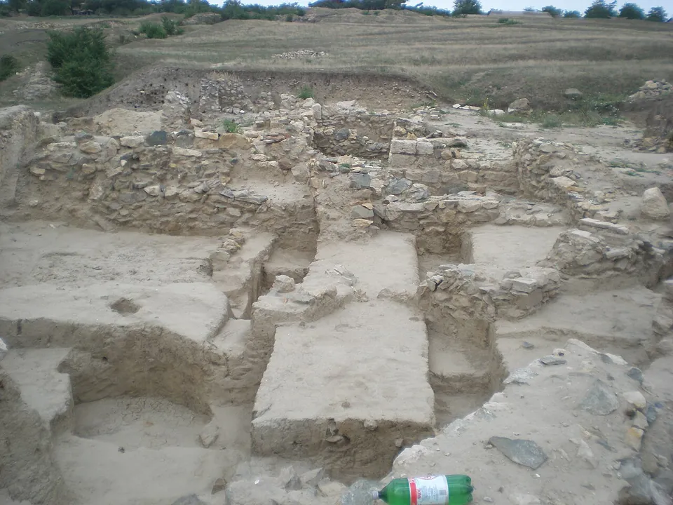
Photo: Leontin l · CC BY-SA 4.0 · Commons
21 km · fort · Constanța County
Ulmetum
The fortress is an irregular trapezoid of about 2 ha, with 13 towers and two main gates, to the south-west and the north-west; the north-west gate was walled up at some point in its history (MINAC).
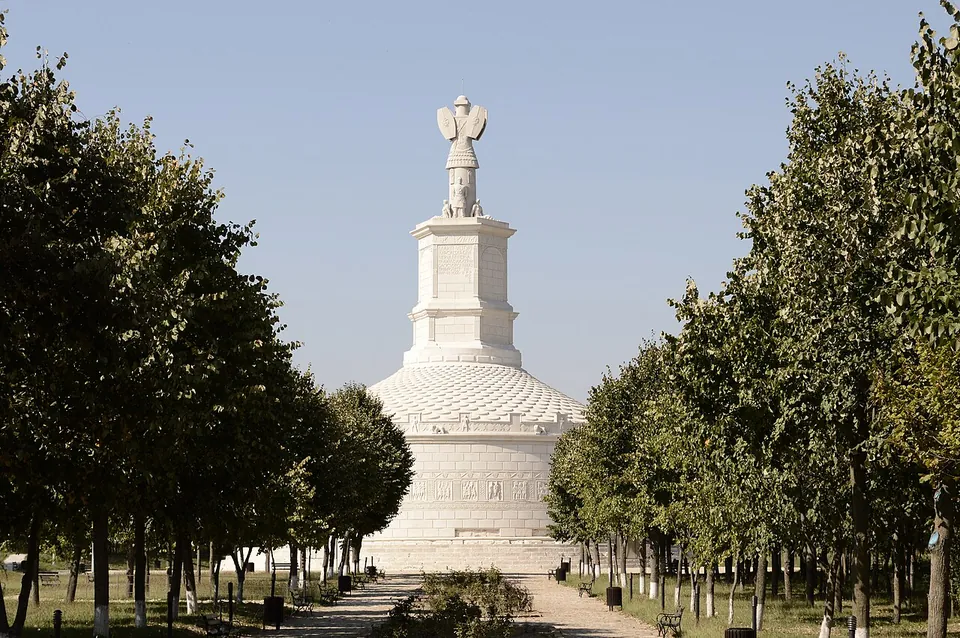
Photo: geomcrae · CC BY-SA 4.0 · Commons
45 km · site · Constanța County
Tropaeum Traiani
The monument is the reconstruction, built in 1977 on one of the hypothetical models of the ruined original (ro.wikipedia).
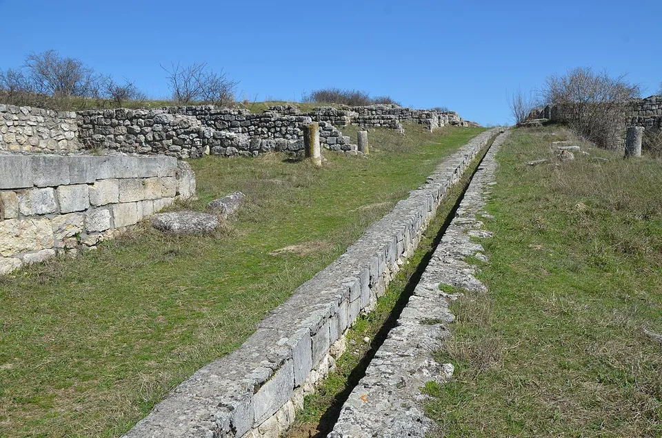
Photo: Carole Raddato from FRANKFURT, Germany · CC BY-SA 2.0 · Commons
46 km · city · Constanța County
Civitas Tropaensium – Adamclisi
The town is an open-air ruin of walls and ground plans rather than standing buildings.


Straight-line distances.
Sources
Every fact on this page comes from the records below, each used under the licence noted.
| Source | Licence |
|---|---|
| Pleiades 216748 | CC BY |
| Wikidata Q18288969 | CC0 |
| Vici.org 7460 | CC BY-SA (text), CC0 (metadata) |
| OpenStreetMap way/288470378 | ODbL |
| Wikipedia (en) — Capidava | CC BY-SA 4.0 |
| MINAC — visiting hours and prices (the operator) | licence not recorded |
| MINAC — cold-season visiting hours, from 1 October 2026 (the operator) | licence not recorded |