

What is there today
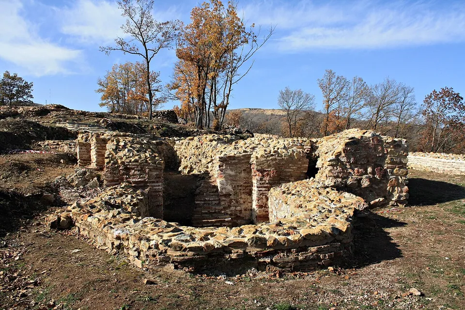
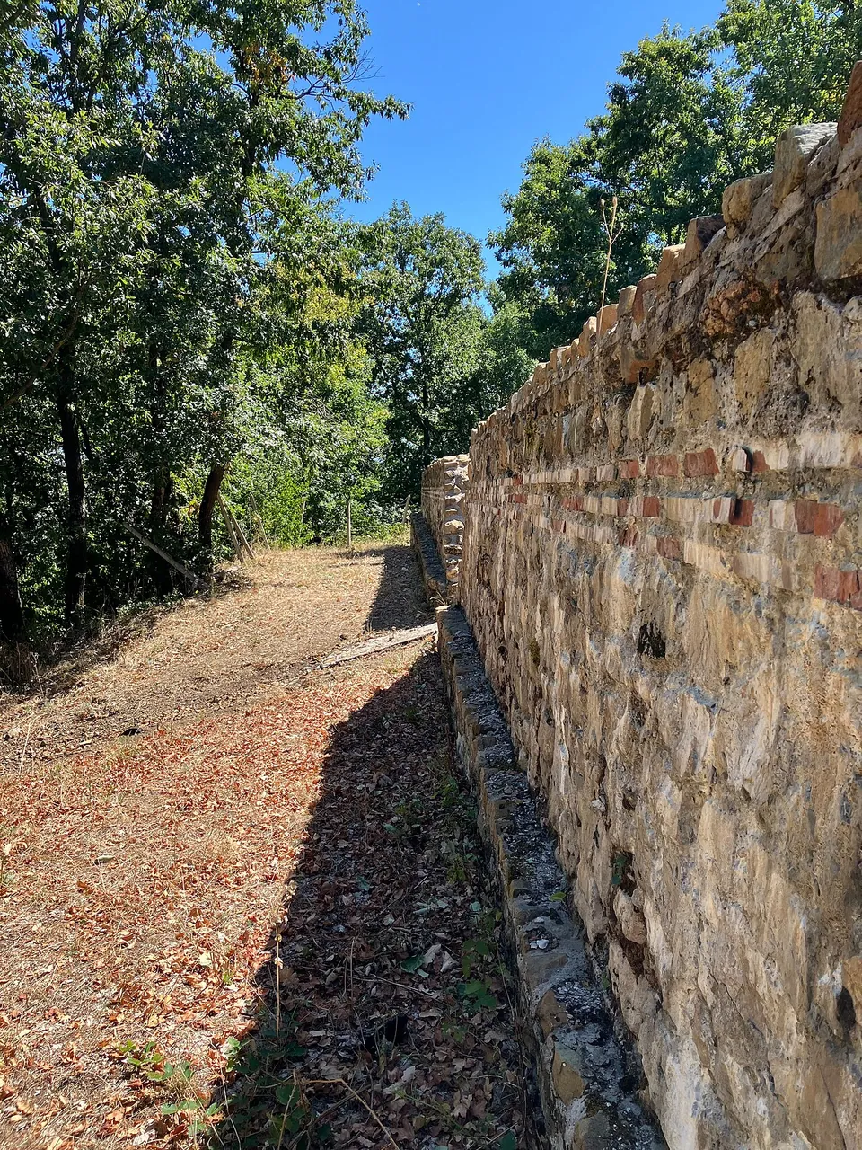
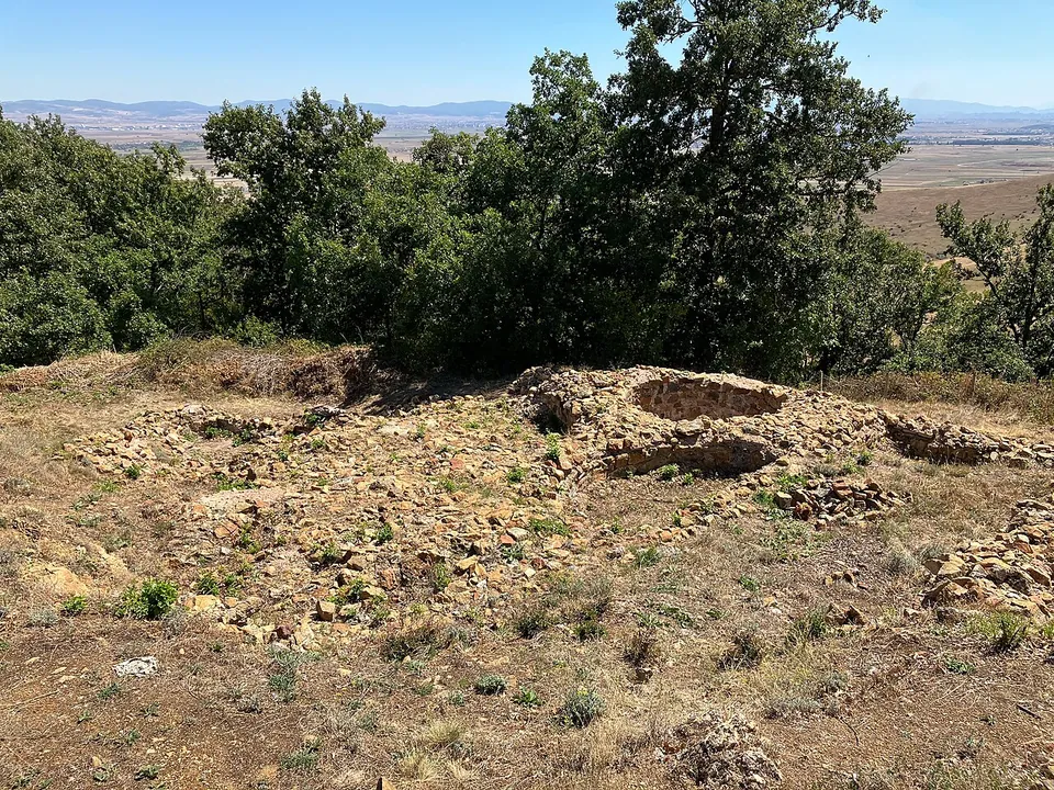
The fort is small, about 1.3 hectares. Excavation uncovered the whole outer face of the circuit wall with its towers, a church with three naves, and two round buildings, apparently religious, whose exact purpose is unknown (en.wikipedia, sq.wikipedia); the ruins, ramparts and small buildings inside the walls are visible (sr.wikipedia). Some parts were conserved and rebuilt to protect them (de.wikipedia), so not every course of stone you see is ancient. Photographs from 2025 show walls of rough stone laid with bands of red brick, among trees on the hilltop.
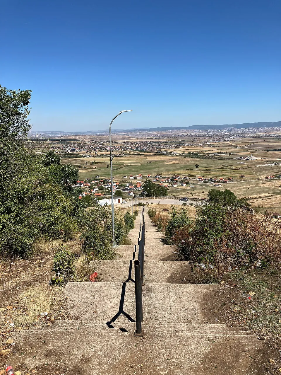
The other reason to climb is the view. From the top you look across the Kosovo plain to parts of seven municipalities: Fushë Kosovë (Kosovo Polje), Pristina, Obiliq, Lipjan, Ferizaj, Shtime and Drenas (de.wikipedia).
Is it worth the trip?
Yes, as a short outing from Pristina or on the way to or from the airport. No other fortress of its period in Kosovo has been excavated as extensively (en.wikipedia), and the whole outer face of its circuit wall has been uncovered (sq.wikipedia), so the fort’s outline is there to walk. It is small, though: this is a walk round one hilltop, not a half-day site, and no museum or visitor centre is mapped on the hill (OpenStreetMap).
Getting there
The fort stands on a hill beside the village of Harilaq (Ariljača), about 9 km south-west of Fushë Kosovë and 2 km west of Pristina airport (de.wikipedia). A car park is mapped about 240 m from the fort, and a concrete stairway named after the fortress climbs the hill; no bus stop is mapped nearby (OpenStreetMap).
No official source publishes opening hours, an admission charge or whether the site is staffed.
Visiting details
- Tickets
- Unknown
- Parking
- A car park is mapped about 240 m from the fort, and a concrete stairway named for the fortress climbs the hill about 100 m from it (OpenStreetMap).
Before you go
- No official source publishes opening hours, an admission charge or whether the site is staffed.
- No bus stop is mapped within 300 m (OpenStreetMap); plan on a car or a taxi.
History
The hill was used in prehistory, and the fort’s main phase belongs to late antiquity and the early Byzantine period (en.wikipedia). The tools, jewellery, coins, bricks and glass found here point to late antiquity and particularly to the time of Justinian, and en.wikipedia counts Harilaq among the forts Justinian built or rebuilt in Dardania, a programme Procopius described in his “On Buildings” in the 6th century.
Occupation did not end with Rome: the finds show the hill in use from prehistory into the Middle Ages (en.wikipedia). sr.wikipedia describes a settlement built on the older fortification and lived in until the 12th century; in the 11th it lay in the border zone between Byzantium and Serbia.
Until excavation began, the walls and the interior were hidden by soil and vegetation (en.wikipedia). The Museum of Kosovo and the Archaeological Institute of Kosovo dug here from 2005 (de.wikipedia); published accounts end the campaign in 2009 or 2010.
More photographs

Nearby
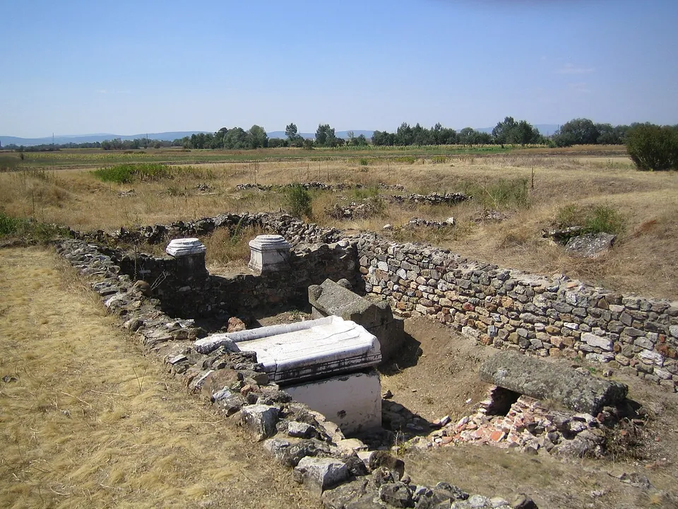
Photo: KoljaHub at German Wikipedia · CC BY-SA 2.0 de · Commons
15 km · city · Municipality of Gračanica / Graçanica
Ulpiana
What you walk through is low: walls, foundations and floors laid out in the grass, with the north gate and its two towers giving the site its character (de.wikipedia, en.wikipedia).

Straight-line distances.
Sources
Every fact on this page comes from the records below, each used under the licence noted.
| Source | Licence |
|---|---|
| Pleiades 342573283 | CC BY |
| Wikidata Q16084763 | CC0 |
| OpenStreetMap way/229433373 | ODbL |
| Wikipedia (en) — Harilaq Fortress | CC BY-SA 4.0 |
| Wikipedia (de) — Festung von Harilaq | CC BY-SA 4.0 |
| Wikipedia (sq) — Kalaja e Harilaqit | CC BY-SA 4.0 |
| Wikipedia (sr) — Градина (Ариљача) | CC BY-SA 4.0 |