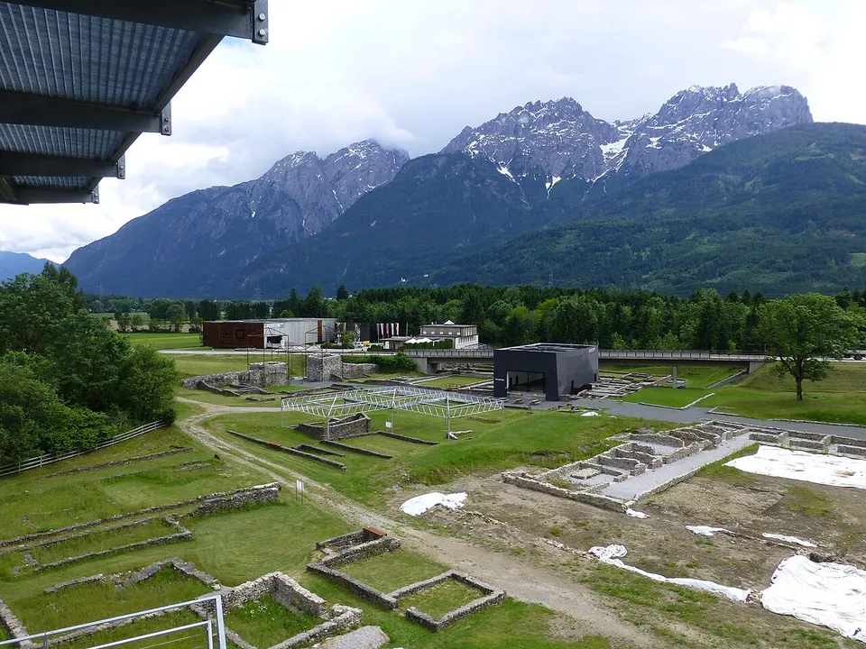
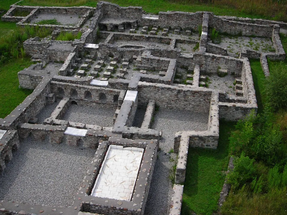


Aguntum was a Roman town in the Drau valley of East Tyrol, about 4 km east of Lienz, made a self-governing municipium under the emperor Claudius. Today it is an excavated town of about 3 hectares with its own museum: the foundations of its baths, houses and market hall, a stretch of town wall being rebuilt, and a viewing tower that takes it all in against the Lienz Dolomites.
What is there today
Alongside the museum, visitors can see the town wall, the atrium house, the baths, the craftsmen’s quarter and the macellum (de.wikipedia). The wall was about 400 m long, 2.45 m thick and 7 m high, built of stream boulders and mortar, and is being reconstructed to a height of 5–6 m; its main gate, 9.5 m wide, had two passages between towers with doors on their outer side, a sign that they served little or no defensive purpose. Oddly, the town had a wall only on its east side (de.wikipedia).
The great baths in the north-west of the site were rebuilt several times from the 1st century on; their marble thresholds, marble-clad walls and pools, wall paintings and mosaic floors speak of a prosperous town, and in the 16th century the low vaults of the town’s underfloor heating, all that then showed of its buildings, gave rise to a legend that dwarfs had lived here (de.wikipedia). Newer finds include a round building uncovered in 2006, probably a macellum, a small market hall for meat, fish and oysters; a marble-decorated hall of 360 m² with underfloor heating, found in 2018 and probably used as a court; and in 2019, in the middle of the forum, the probable remains of a 1st-century temple (de.wikipedia).
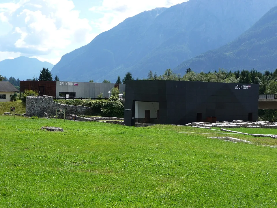
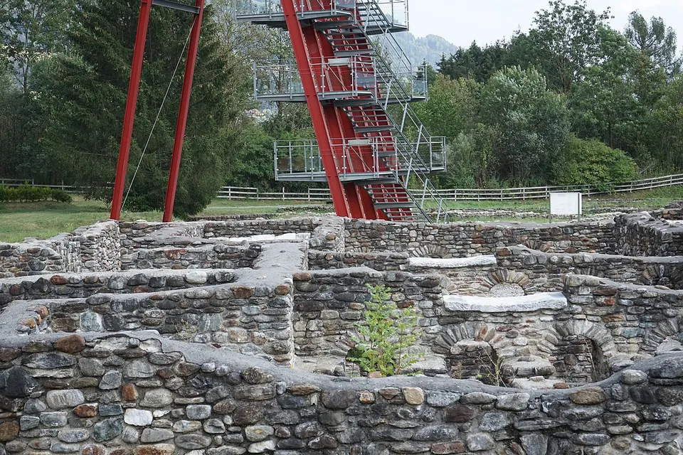
The central part of the atrium house is covered by a protective building, and the museum, opened in 2005 with 1,250 m² of exhibition space, stands across the main road at street level; it received the Austrian Museum Seal of Quality in 2021. In the north of the site an 18.9 m steel viewing tower, reached by 91 steps, gives a view from 15 m over the excavations and the Lienz basin (de.wikipedia).
Is it worth the trip?
If you are in East Tyrol between May and October, yes. What survives is foundations and low walls rather than standing buildings, but the town is laid out over a wide area, the viewing tower makes the plan legible, and the setting under the mountains is fine. It is a Roman provincial town in miniature rather than a monument, and it opens only until 16.00, so arrive in good time.
Getting there
The site is at Römerstraße 1 in Dölsach, about 4 km east of Lienz in the Drau valley (de.wikipedia; the operator). There is a car park about 80 m from the excavations, and the bus stop “Stribach Aguntum” is about 280 m away (OpenStreetMap). Aguntum is open Tuesday to Sunday 10.00–16.00 from 1 May to 25 October 2026 and closed on Mondays. A ticket is €7, €6 reduced and €4 for children, young people and students; under-sixes go free, and a family ticket is €15. A combined ticket with Schloss Bruck in Lienz costs €13.50, or €11.50 reduced (aguntum.at, read 5 October 2026). The open-air grounds are only partly passable by wheelchair.
Visiting details
- Opening hours
- Tuesday to Sunday 10.00–16.00, from 1 May to 25 October 2026; closed on Mondays.
- Tickets
- €7; reduced €6; children, young people and students €4; under-6s free; family (two adults and their children up to 18) €15. A combined ticket with Schloss Bruck in Lienz is €13.50, €11.50 reduced, €27.50 for a family.
- Parking
- Car park about 80 m from the excavations (OpenStreetMap).
Before you go
- The open-air grounds are only partly passable by wheelchair (the operator).
- Closed from late October to the end of April.
Hours and prices checked 5 October 2026 on the operator's own site. Confirm before travelling.
History
The origins of the town are unclear. The Noric people of the Laianci lived here, and their name survives in that of Lienz; one theory has the settlement grow from a road station on the Via Julia Augusta, at the fork of the road into the Mölltal, the valley from which Tauern gold was brought (de.wikipedia). The finds point to intensive building under Claudius, who made Aguntum one of five municipia he established in Noricum, with Iuvavum, Teurnia, Virunum and Celeia. A flourishing period of at least two centuries followed: the town wall and the atrium house date from the second half of the 1st century, and the great baths were begun in its first half, and the town governed a territory that took in today’s East Tyrol and the Puster valley (de.wikipedia). The town appears to have been founded to exploit local iron, copper, zinc and gold, and in the early Christian period it was the seat of a bishop (en.wikipedia).
Aguntum was lived in at least into the 5th century, though from the 3rd century people moved increasingly to Lavant nearby, a hilltop that was easier to defend. After the battle of Aguntum between Bavarians and Slavs in 610, the Slavs advanced into the valleys of East Tyrol and the town was wholly destroyed (de.wikipedia).
More photographs

Nearby
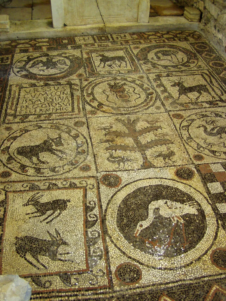
Photo: Griensteidl · CC BY-SA 3.0 · Commons
47 km · city · Spittal an der Drau District
Teurnia
The town was built on the Holzer Berg, a hill rising about 70 m above the valley, and the village of St. Peter in Holz now occupies the site (de.wikipedia).

Straight-line distances.
Sources
Every fact on this page comes from the records below, each used under the licence noted.
| Source | Licence |
|---|---|
| Pleiades 187265 | CC BY |
| Wikidata Q398648 | CC0 |
| Vici.org 12879 | CC BY-SA (text), CC0 (metadata) |
| OpenStreetMap way/238758271 | ODbL |
| Wikipedia (de) — Aguntum | CC BY-SA 4.0 |
| Wikipedia (en) — Aguntum | CC BY-SA 4.0 |
| Aguntum — visitor information (the operator) | licence not recorded |