What is there today
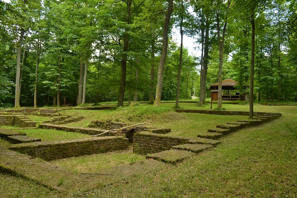
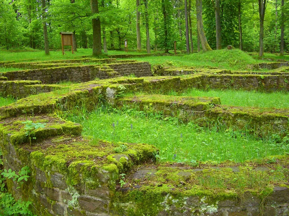
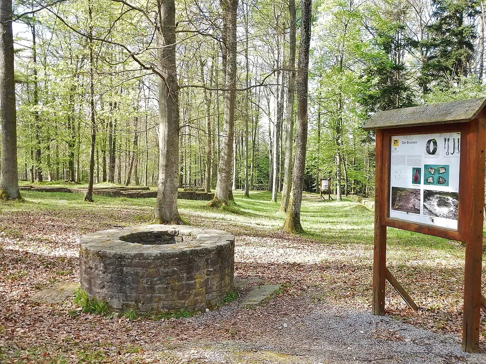
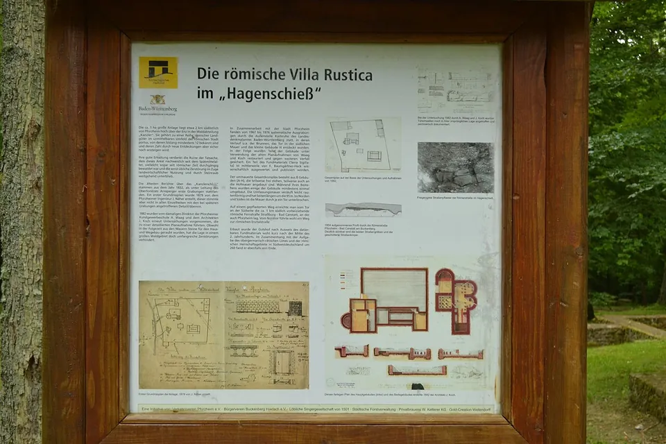
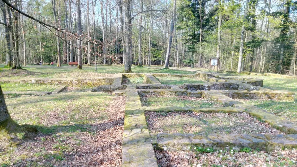
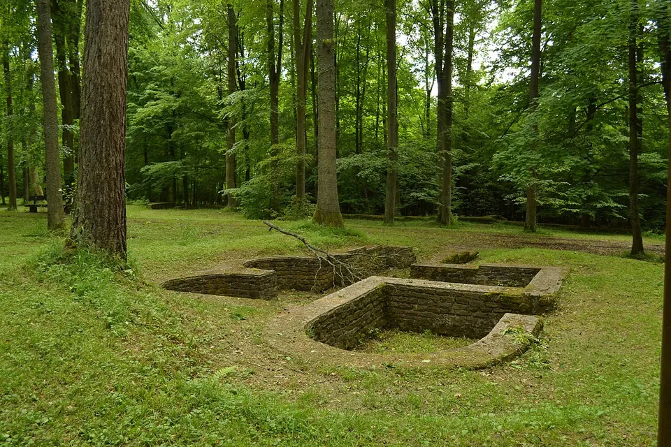
The estate survives as ground plans: low, conserved sandstone walls, capped with mortar, laid out on the forest floor among the trees. OpenStreetMap maps four buildings and a well, with detailed information boards. Inside the enclosure you can pick out the main building, the bath house with the rounded niches that held its pools, and a building that housed the workers and probably the carts, plus outbuildings whose use is not known (de.wikipedia). The wall that enclosed it all measured about 100 m a side, and the threshold stones of its 3.73 m wide north gate are still in place. The forest explains why the ruins are so well kept: the ground has been wooded since the late Middle Ages, and perhaps ever since the estate was abandoned (de.wikipedia).
Is it worth the trip?
Worth it if you are in Pforzheim or walking in the Hagenschieß: it is free, unfenced, and the information boards explain the buildings, so the plan of a Roman farm reads clearly on the ground. The walls are low, though (OpenStreetMap), so this is a plan to walk round rather than ruins to walk through, and it does not justify a long detour on its own. A model of the estate is in Pforzheim’s Archaeological Museum at the Kappelhof (de.wikipedia), which makes a good pairing.
Getting there
The ruins are about 2 km east of the site of Roman Portus, the forerunner of Pforzheim, on a plateau above the Enz valley (de.wikipedia). The City of Pforzheim puts the walk from the Archaeological Museum, by way of the Enz crossing, at about 2.5 km one way, with a moderate climb after the river; the museum has led a free guided walk along that route on a Sunday in late July (2024 and 2026). Two city walking routes also pass the estate: the Römerweg loop from the Seehaus and the 30 km Eppinger Linie route (Stadt Pforzheim).
By car, two small car parks are mapped roughly 450 to 500 m away, south-west and south-east of the ruins; by bus, the nearest stops are Ammerstraße and Schwalbenstraße on line 9, about 600 m to the north-east as the crow flies (OpenStreetMap). Admission is free and there are no published opening hours: the site is open woodland, and no gate is recorded. It is mapped as unsuitable for wheelchairs.
Visiting details
- Tickets
- Free. The ruins lie in open forest with no gate or ticket office, and are mapped as freely accessible.
- Parking
- Two small surface car parks are mapped about 450 m south-west (OSM way/38062104, gravel) and 500 m south-east (way/91232721, free of charge) of the ruins, both straight-line distances; a forest track and footpaths pass the site.
Before you go
- No operator publishes opening hours. The site is unfenced woodland, so daylight is the practical limit.
- The nearest mapped bus stops are Ammerstraße (line 9), about 570 m north-east, and Schwalbenstraße (lines 1 and 9), about 620 m north-east, both straight-line distances.
- Mapped as not wheelchair-accessible; the paths through the site are grass and gravel.
Hours and prices checked 31 October 2026 on the operator's own site. Confirm before travelling.
History
The excavated remains date from the first half of the 2nd century AD. The estate was given up around 260, when the Alamanni overran the Limes (de.wikipedia). About 1 km to the south-east ran the Roman highway between the legionary fortress at Strasbourg and the fort at Stuttgart-Bad Cannstatt, and the estate had a road link to it (de.wikipedia).
All the buildings were of sandstone that outcrops on the slope down to the Enz, set in lime mortar, the walls plastered white and decorated with grooves painted red. The bath house was laid out in sequence: a cold room (frigidarium) with its cold pool in a south-facing round niche, a small square warm room (tepidarium), and a spacious hot room (caldarium) with its baths in two west-facing niches. It was fired from the northernmost room, and the hot air reached the warm rooms through ducts. The central part of the workers’ house was probably two storeys high, and its lean-to side rooms were probably added later; finds of everyday pottery, metal objects and animal bones mark the long side rooms as stores (de.wikipedia).
The senior forestry official Arnsperger first investigated the site in 1832. Julius Naeher drew the first plan in 1879, and a survey commissioned by the grand-ducal curator of antiquities in 1882 extended it, to record the walls before they were lost. The state monuments office excavated and restored the estate over about ten years from the mid-1960s (1966-1975 in de.wikipedia, 1967-1976 on the City of Pforzheim’s page), covering the foundations with protective mortar, and it has been open to the public since (de.wikipedia).
More photographs
Nearby
27 km · temple · Baden-Württemberg
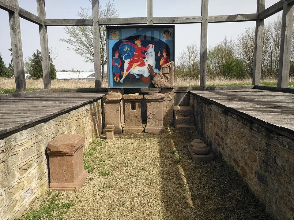
Güglingen Mithraeum
The excavated ground that was not built over is now an open-air site, the Archäologische Freilichtanlage, in the Ochsenwiesen/Steinäcker industrial estate south of the river Zaber (the operator).


Straight-line distances.
Sources
Every fact on this page comes from the records below, each used under the licence noted.