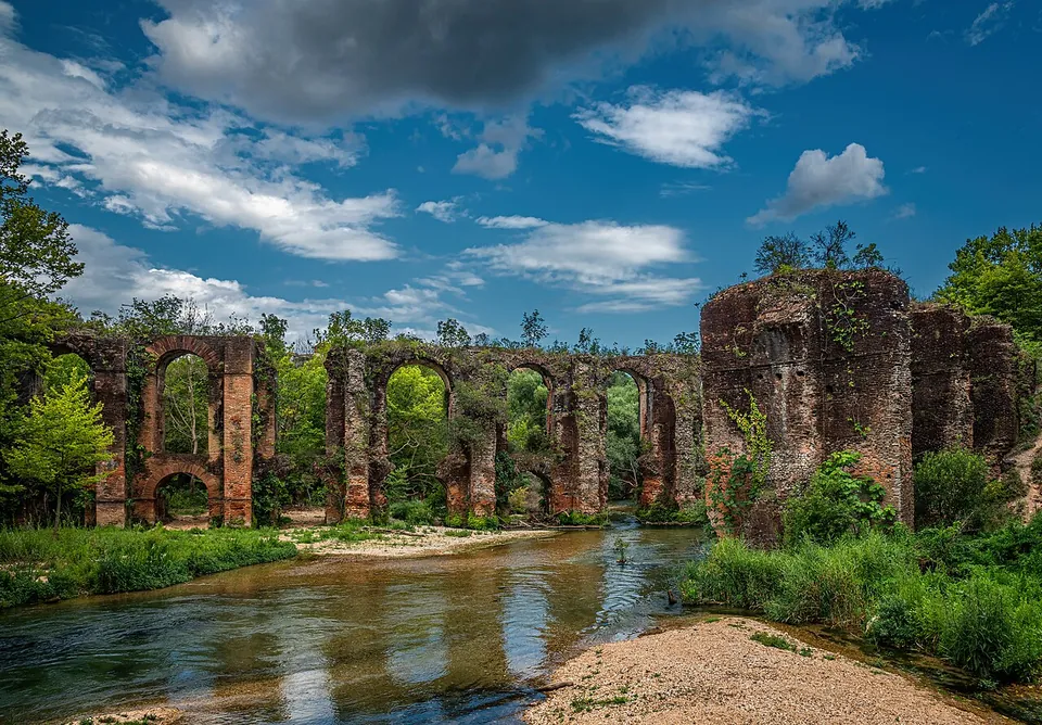


The Roman aqueduct of Nicopolis carried water about 50 km from the springs of the river Louros to the city that Octavian, the future Augustus, founded after his victory at Actium. Its most striking remains stand where it began, at the village of Agios Georgios: two lines of brick arches, up to 14 m high, crossing the river side by side (de.wikipedia; el.wikipedia; en.wikipedia).
What is there today
The two bridges carried the water over the Louros about 200 m north-west of the village church, which stands where the spring rises and where, in antiquity, a collecting basin fed the channel. The northern bridge, 140 m long, is probably the original; it had only one row of arches, probably had to be strengthened under Hadrian, and is now broken where it crossed the river, with two piers standing on the east bank and four on the west. The southern bridge, 120 m long, on 15 piers with taller arches above, is much better preserved and seems to be a later replacement, of the late 2nd or early 3rd century. Both are of brick with a core of rubble and mortar (de.wikipedia).
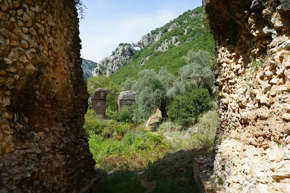
Near the church a stretch of the covered channel survives for about 230 m along the hillside, and for a few metres it keeps its vault, the only vault left on the whole 50 km line (de.wikipedia).
Further along the line, a tunnel at Kokkinopilos, a retaining wall at Stefani, piers near Archangelos and piers by the city of Nicopolis itself can still be seen, ending at the city’s nymphaeum, from which the water went to its baths and cisterns (de.wikipedia; el.wikipedia).
Is it worth the trip?
Yes, if you are in Epirus: the arches over the river at Agios Georgios are a fine sight, and nothing in OpenStreetMap or the sources suggests a fee. Combine them with the city of Nicopolis, about 30 km to the south as the crow flies (de.wikipedia), where the operator runs the archaeological site.
Getting there
Agios Georgios is about 7 km north of Filippiada (de.wikipedia). The arches stand beside the road into the village, with an information board; no car park or bus stop is mapped nearby (OpenStreetMap).
Visiting details
- Tickets
- Free
- Parking
- No car park is mapped; the arches stand beside the road into Agios Georgios, with an information board about 30 m from them (OSM node/12950171231). No public transport stop is mapped nearby.
History
Nicopolis was founded by Octavian after Actium in 31 BC, and its new citizens had little water: there were no rivers close by, only small springs and wells, and writers of the time complained of the baths’ poor supply (de.wikipedia). No source dates the aqueduct exactly. It was probably begun in the 1st century AD and completed under Hadrian in the 2nd; it was out of use by the 4th century, when the emperor Julian had it repaired around 362, and it stopped working for good in the 5th century, as the city declined (de.wikipedia; en.wikipedia). The bridges were repaired in 1978–1980, and a project of 2011–2015 excavated six points along the line and opened them to visitors (de.wikipedia).
Nearby
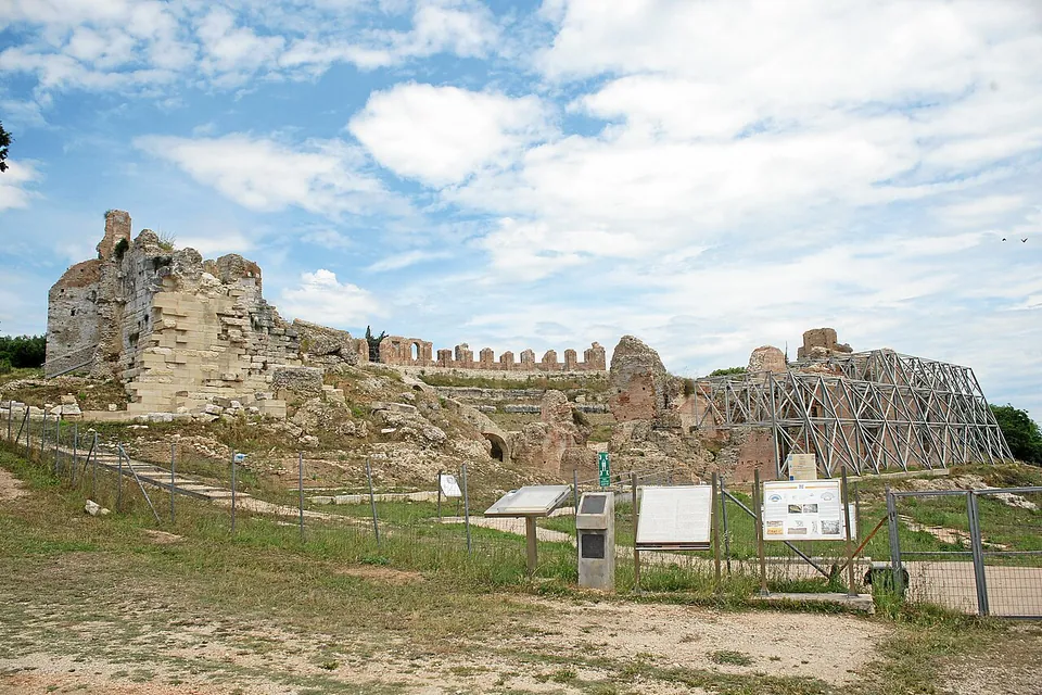
Photo: Mboesch · CC BY-SA 4.0 · Commons
29 km · city · Preveza
Nicopolis
The great theatre had 77 rows of seats (en.wikipedia), and its high brick walls still stand (the photographs), about 100 m from the stadium (OpenStreetMap), where the Actian Games were held.

Straight-line distances.
Sources
Every fact on this page comes from the records below, each used under the licence noted.
| Source | Licence |
|---|---|
| Wikidata Q16327986 | CC0 |
| OpenStreetMap way/1082677071 | ODbL |
| Wikipedia (de) — Aquädukt von Nikopolis | CC BY-SA 4.0 |
| Wikipedia (el) — Ρωμαϊκό υδραγωγείο Νικόπολης | CC BY-SA 4.0 |
| Wikipedia (en) — Nicopolis | CC BY-SA 4.0 |