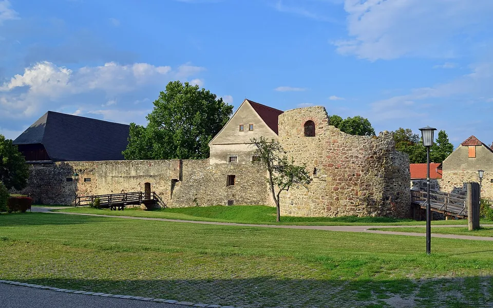
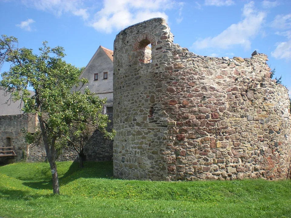
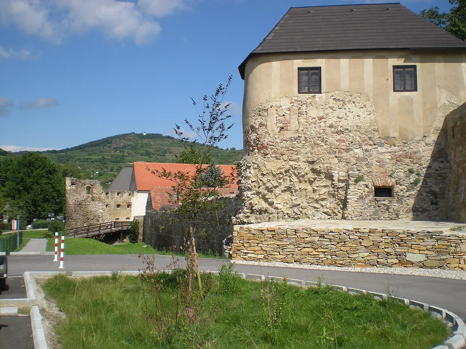
Mautern, on the Danube near Krems, stands on a Roman frontier fort, traditionally identified as the Favianis where St Severin lived and died. The fort is almost entirely under the old town, but its late Roman west side still stands: a horseshoe-shaped tower Roman up to its second floor, a fan-shaped corner tower and a long stretch of wall inside the medieval town wall, all in the open and free.
What is there today
The best piece is the western horseshoe tower, about 11 by 14 m and 10 m high, probably of the 4th or 5th century and perhaps even from Severin’s time. Its walls, up to 2 m thick, are late Roman up to the second floor; rectangular holes mark where the beams of its wooden floors sat and smaller ones the builders’ scaffolding, its two round-arched upper windows are probably Roman, and four steps of a staircase survive inside (de.wikipedia). A little south of it stand the remains of the south-western fan-shaped tower, and the late Roman walls, up to 3 m thick, survive above all in the western stretch of the medieval town wall (de.wikipedia).
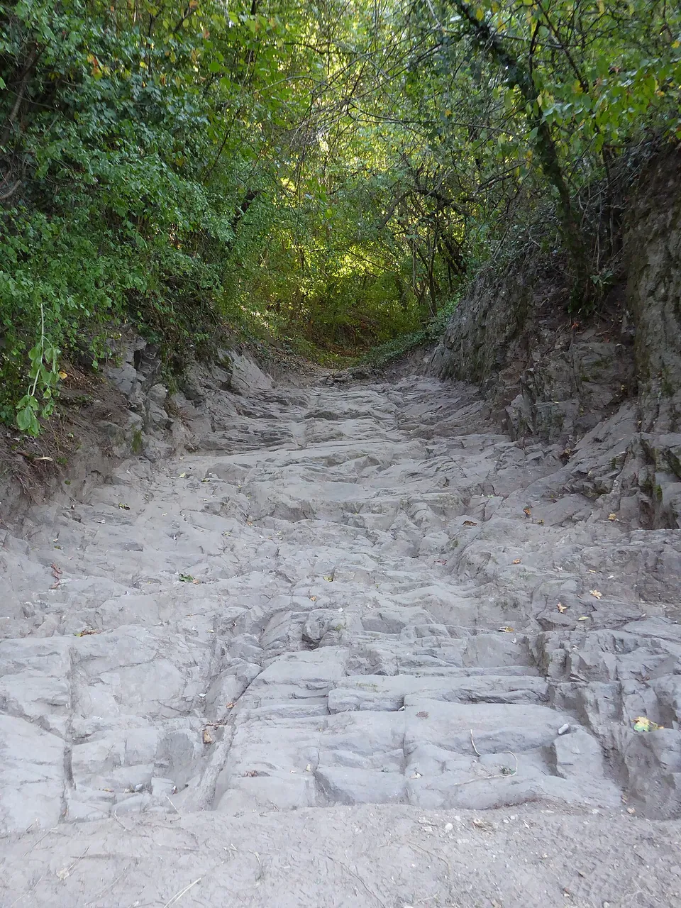
The “Kulturweg Favianis Mutaren Mautern” walk starts from the car park in front of the Römerhalle and leads past the horseshoe tower and on round the outline of the fort. At the Nikolaihof you can see the foundations of the eastern horseshoe tower through a window of the inn’s dining room, and just west of the village of Mauternbach, behind a wayside shrine with an information board, a stretch of a Roman rutted road can be seen (de.wikipedia). The town’s Roman museum is closed while it is redesigned and moved, and a small free exhibition of selected finds is shown in the town hall in the meantime (the town).
Is it worth the trip?
As a stop on the Danube, yes. The horseshoe towers of Mautern are counted among the best-preserved Roman buildings on the Austrian stretch of the frontier (de.wikipedia, “Kastell Zeiselmauer”), the walk is short and free, and Krems is 2.6 km away (OpenStreetMap). With the museum closed there is less to see indoors than usual, so treat it as an hour’s walk rather than a half-day.
Getting there
The horseshoe tower is about 200 m from the Nikolaihof and about 250 m from the town hall at Rathausplatz 1, and the bus stop “Mautern an der Donau Kirche” is about 120 m from it (OpenStreetMap). The walls, towers and the walk are in the open and free. The interim exhibition in the town hall is free and open during the office hours: Monday, Wednesday, Thursday and Friday 08.00–12.00 and Tuesday 08.00–12.00 and 13.00–18.00 (the town, read 5 October 2026).
Visiting details
- Opening hours
- The towers and walls are in the open. The interim exhibition in the town hall, Rathausplatz 1, opens with the municipal office - Monday, Wednesday, Thursday and Friday 08.00–12.00, Tuesday 08.00–12.00 and 13.00–18.00, closed at weekends.
- Tickets
- Free - the walls, the towers and the interim exhibition.
- Parking
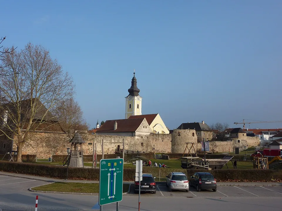
A car park beside the fort wall, with the parish church behind. · Photo: BSonne · CC BY-SA 3.0 · Wikimedia Commons
Before you go
- The Römermuseum is closed while it is redesigned and moved to a new building; a small interim exhibition is shown in the town hall instead (the town).
Hours and prices checked 5 October 2026 on the operator's own site. Confirm before travelling.
History
The area belonged to the Celtic kingdom of Noricum before it became a Roman province. Mautern is counted among the oldest forts on the Danube frontier, though a timber-and-earth fort of the Flavian period has not yet been proven; the fort was rebuilt in stone in the first half of the 2nd century, badly damaged probably in the Marcomannic Wars, and burned again in the 3rd century, after which it lay unused for a long time (de.wikipedia). Probably under Diocletian it came back to life, with the Legio I Noricorum, or at least a detachment of it, and marines, and early in the 4th century its defences were strongly reinforced and a flotilla of patrol boats was stationed here (de.wikipedia).
If Mautern is Favianis, Eugippius’s Life of St Severin, written in 511, describes its end: by the late 5th century it was a small town guarded by a small garrison under a tribune, Severin founded a monastery here, and he died in Favianis on 8 January 482. Around 488, after the Rugian kingdom across the Danube had been destroyed, most of the Roman population was evacuated to Italy on Odoacer’s orders, and the town became their gathering point; they took Severin’s body with them. The site then lay largely empty for over 300 years until it was resettled from 803 (de.wikipedia). The fort’s remains have been part of the Danube Limes World Heritage Site since 2021 (de.wikipedia).
More photographs
Nearby
36 km · fort · Tulln District
Comagena – Tulln an der Donau
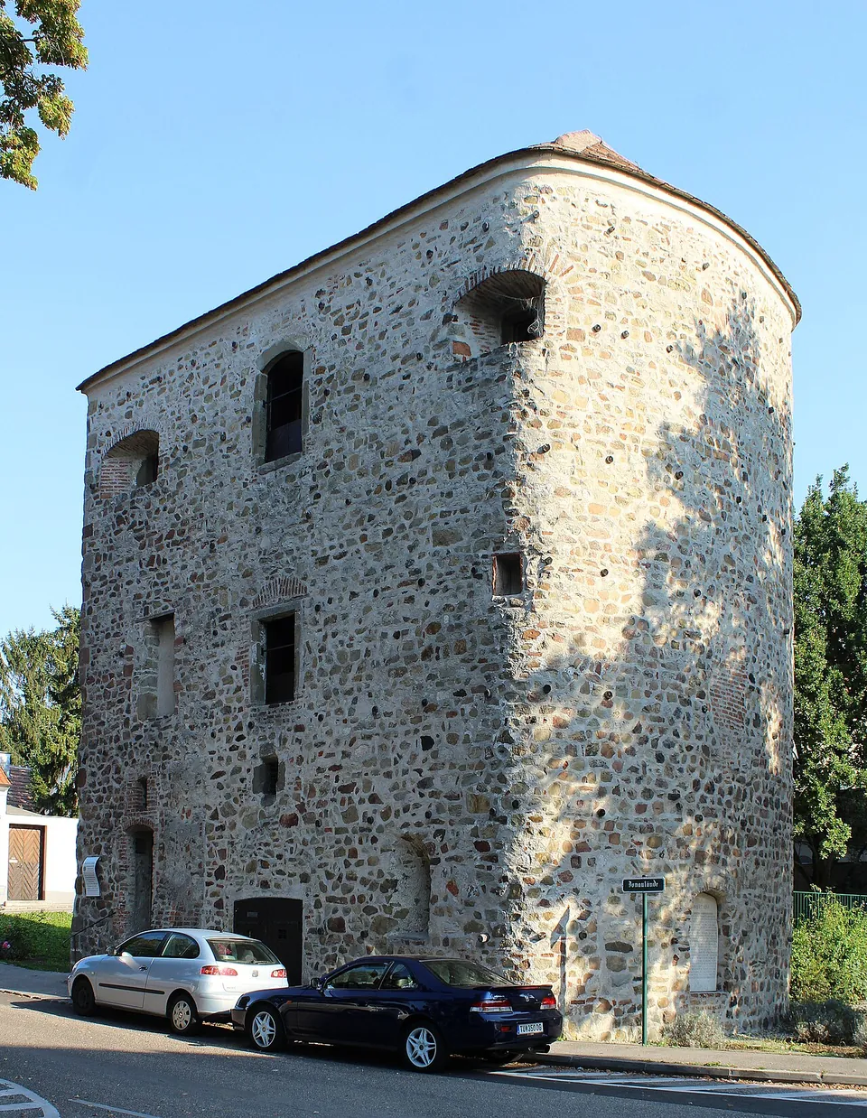
The Römerturm, also called the Salzturm because it was used to store salt in the 18th and 19th centuries, is the reason to come.
45 km · fort · Tulln District
Castra Cannabiaca
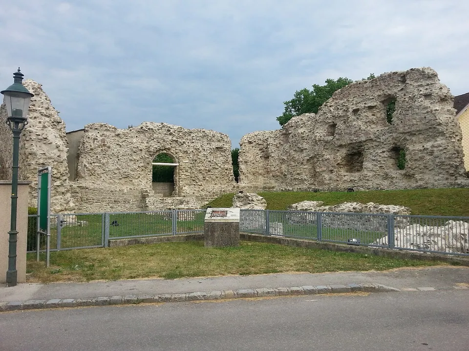
The burgus, a small fort built inside the north-west corner of the larger one, is the centrepiece.


Straight-line distances.
Sources
Every fact on this page comes from the records below, each used under the licence noted.
| Source | Licence |
|---|---|
| Pleiades 118673 | CC BY |
| Wikidata Q2739865 | CC0 |
| OpenStreetMap way/553018083 | ODbL |
| Wikipedia (de) — Kastell Mautern | CC BY-SA 4.0 |
| Wikipedia (de) — Kastell Zeiselmauer (on the best-preserved Roman buildings of the Austrian limes) | CC BY-SA 4.0 |
| Stadtgemeinde Mautern an der Donau — Römermuseum (the operator) | licence not recorded |