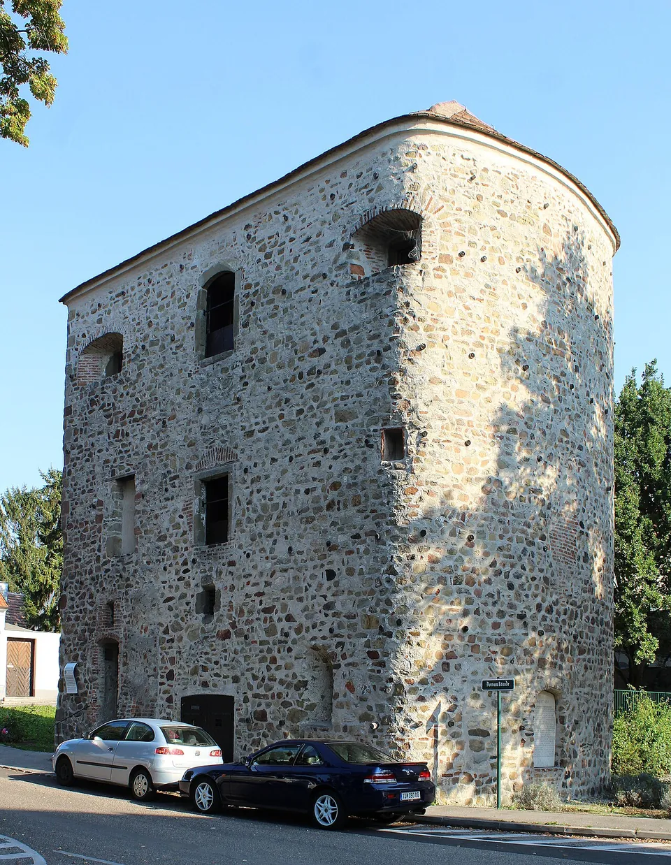
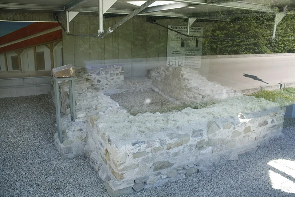
Comagena was a Roman cavalry fort on the Danube frontier of Noricum, in today’s Tulln, under the Marc-Aurel-Park and the former hospital. Two pieces of it can be seen: the Römerturm, a late Roman tower that still stands to the edge of its roof on the riverbank, and the walls of the fort’s east gate, shown under a glass-fronted shelter beside the town’s Roman museum.
What is there today
The Römerturm, also called the Salzturm because it was used to store salt in the 18th and 19th centuries, is the reason to come. It was an intermediate tower in the fort’s west wall, built on a horseshoe plan, about 10 m high, and its masonry is Roman all the way up to the edge of the roof; the holes in its outer wall, now stopped with wooden plugs, held the Roman builders’ scaffolding (de.wikipedia). It stands right by the Danube because the river has washed away the whole north side of the fort (de.wikipedia). It can only be seen from outside, at any hour (the town).
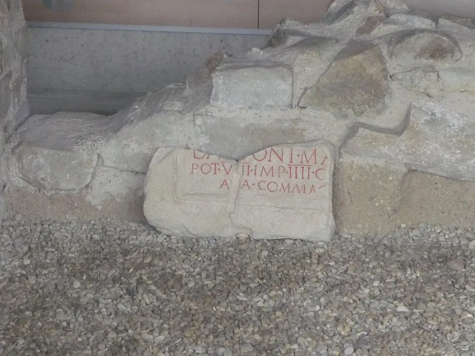
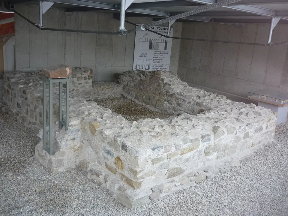
The east gate, the porta principalis dextra, was found in a rescue excavation in 1980; its foundations and walls up to about 2 m high were uncovered and conserved (de.wikipedia). What survives are the foundations, a wedge stone of the arch and the central support stone between the gate’s two passages, and they can be seen through the shelter from outside at any time (the town). Behind the gate, in the restored former hospital, the Römermuseum Tulln shows stone reliefs and small finds (de.wikipedia) on the Roman civil and military history of the area (the operator). A Roman funerary lion is built, visibly, into the south tower of the parish church (de.wikipedia).
Is it worth the trip?
As a detour, yes; as a journey, no. The Römerturm is a whole late Roman tower, Roman up to its roofline, and it costs nothing to see, while the gate makes the plan of a frontier fort easy to picture. Together with the museum they fill an hour or two. If you are travelling along the Danube, Tulln is worth the stop; on its own it is too little to justify a long trip.
Getting there
The Römerturm is at Donaulände 38 on the riverside, and the east gate and the Römermuseum are in the Marc-Aurel-Park about 150 m to the east; Tulln Stadt railway station is about 550 m from both (OpenStreetMap). The tower and the gate are free and can be seen from outside at any time. The museum, at Marc-Aurel-Park 1b, is open Wednesday to Sunday and on public holidays, 10.00–17.00, from 18 April to 18 October 2026. A ticket is €7.50, €6.30 reduced and €4 for ages 11 to 18, and there are family tickets at €9.10 for one parent with up to four children and €14.90 for two (tulln.at, read 5 October 2026).
Visiting details
- Opening hours
- Römerturm (Salzturm) and the east gate - outside view at any time. Römermuseum, Marc-Aurel-Park 1b - Wednesday to Sunday and public holidays 10.00–17.00, from 18 April to 18 October 2026.
- Tickets
- Römerturm and east gate free. Römermuseum €7.50; reduced (seniors, groups of 10 or more) €6.30; ages 11–18 €4; family ticket €9.10 (one parent and up to four children) or €14.90 (two parents and up to four children).
Before you go
- The Römerturm can only be seen from outside.
- The museum closes for the winter after 18 October.
Hours and prices checked 5 October 2026 on the operator's own site. Confirm before travelling.
History
Comagena was a fort for a cavalry unit of up to 500 riders on the Noric stretch of the Danube frontier; it guarded an important ford across the river and overlooked the plain of the Tullnerfeld. It was built of timber and earth in the late 1st century, probably under Domitian, and rebuilt in stone in the early 2nd (de.wikipedia). A building inscription found at the east gate in 2000 is the first known written record of the Ala I Commagenorum, the cavalry regiment stationed here, and dates the stone gate to the reign of Trajan (de.wikipedia).
Several phases of rebuilding are known from its long occupation, which lasted until the end of the 5th century. In late antiquity the fort was also a base of the Danube fleet and of a cavalry unit, and at least two civilian settlements and three cemeteries lay to its west and south (de.wikipedia). The Römerturm belongs to this late phase: de.wikipedia dates it to the first half of the 4th century, the town to about 370. The fort was destroyed around 400, a civilian settlement carried on to the end of antiquity, and the site was settled again in the late 8th century. Its remains have been part of the Danube Limes World Heritage Site since 2021 (de.wikipedia).
More photographs
Nearby
9 km · fort · Tulln District
Castra Cannabiaca
The burgus, a small fort built inside the north-west corner of the larger one, is the centrepiece.
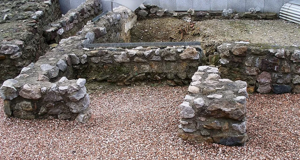
Photo: High Contrast · CC BY 3.0 de · Commons
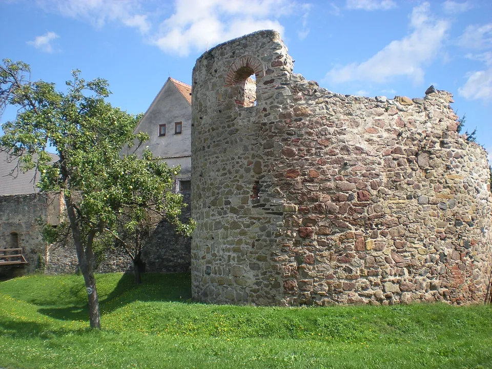
Photo: Wolfgang Glock · CC BY-SA 3.0 · Commons
36 km · fort · Krems District
Castrum Favianis
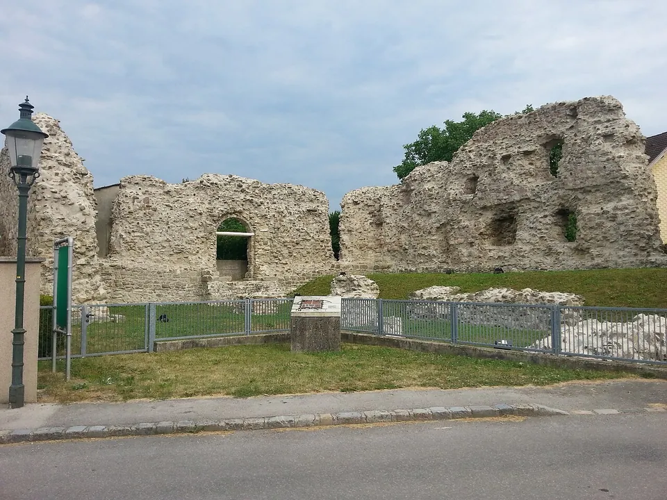
The best piece is the western horseshoe tower, about 11 by 14 m and 10 m high, probably of the 4th or 5th century and perhaps even from Severin's time.


Straight-line distances.
Sources
Every fact on this page comes from the records below, each used under the licence noted.
| Source | Licence |
|---|---|
| Pleiades 128385 | CC BY |
| Wikidata Q1600380 | CC0 |
| Vici.org 12866 | CC BY-SA (text), CC0 (metadata) |
| OpenStreetMap way/123226777 | ODbL |
| Wikipedia (de) — Comagena | CC BY-SA 4.0 |
| Wikipedia (en) — Comagena | CC BY-SA 4.0 |
| Stadtgemeinde Tulln — Römermuseum Tulln (the operator) | licence not recorded |
| Stadtgemeinde Tulln — Roman tower and former double gate | licence not recorded |