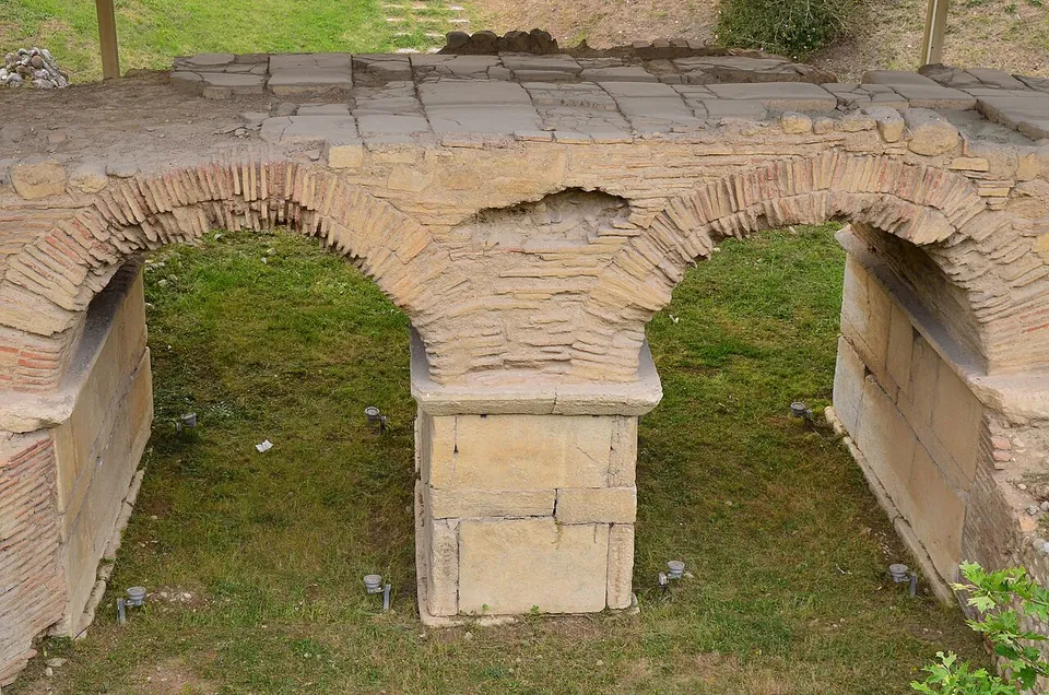
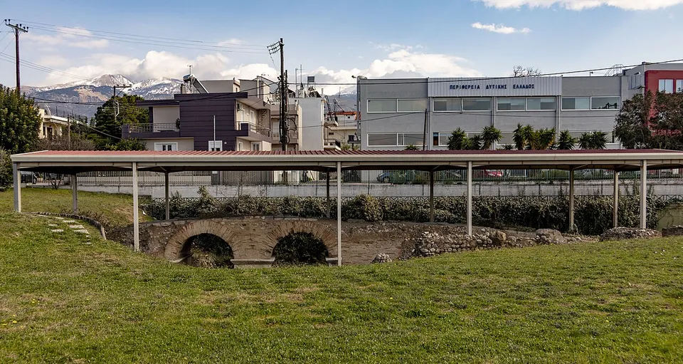


The Roman bridge of Patras is a small bridge of two brick arches of the 2nd–3rd century AD, which carried the Roman road from Patras to Aigion across the river Kallinaos. The Ministry of Culture calls it the best preserved two-arched bridge in Greece, and the ruts of carts can still be seen in its paving (the Ministry).
What is there today
The bridge was found in the early 1980s, when the foundations of a house were being dug, and now lies in a sunken plot under a shelter at the eastern entrance to the city (the Ministry; the photograph). It is built of brick, on piers of stone up to the springing of the arches, and its foundations in the riverbed are made of blocks and column shafts taken from older buildings. The road over it, part of the public road (via publica) between Patras and Aigion, was paved here, unlike the gravel of the rest of its course, and still shows the ruts of wagon wheels; a short parapet of brick and reused architectural pieces lined it (the Ministry).
A little to the south lies its predecessor, a smaller single-arched bridge of poros stone of the 1st century AD. An inscribed decree found in the foundation trench of the new bridge records that Artemios of Messatis paid for that first bridge, which linked Patras with his home town (the Ministry).
Is it worth the trip?
A short stop rather than a destination: the bridge is small and sunk below the road, but it is well preserved, free, and a few metres from the Archaeological Museum, whose Roman mosaics are a reason to come to this end of town (the Ministry; el.wikipedia; hh.gr).
Getting there
The bridge stands at the junction of the New National Road Patras–Athens and Aretha Street, a few metres before the Archaeological Museum (the Ministry; el.wikipedia). Car parks are mapped beside it, and the bus stop “Panepistimiou – Aretha” about 175 m away (OpenStreetMap). Admission is free; the Ministry’s published hours date from 2016, and el.wikipedia describes the site as open by arrangement with the Ephorate of Antiquities of Achaia, so ask at the museum before you go.
Visiting details
- Tickets
- Free (the Ministry of Culture's guide).
- Parking
- At the junction of the New National Road Patras–Athens and Aretha Street, at the eastern entrance to the city, a few metres before the Archaeological Museum (the Ministry; el.wikipedia). Car parks are mapped beside it (OSM way/855730105), and the bus stop "Panepistimiou – Aretha" about 175 m away (node/633373553).
Hours and prices checked 9 October 2026 on the operator's own site. Confirm before travelling.
History
The river the bridge crossed, the Kallinaos, now flows about 100 m further south; it was once wrongly identified as the Meilichos. A few centuries after the bridge was built a destructive flood silted up the riverbed, but the road over it stayed in use for much longer (the Ministry).
Nearby
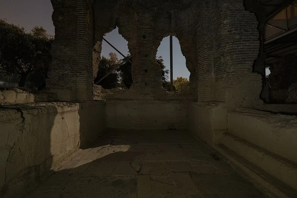
Photo: ΥΠΠΟΑ/ΕΦΑΑΙΤ/(George Ntekas) · CC BY-SA 4.0 · Commons
29 km · bath · Aetolia-Acarnania
Roman Baths of Agios Thomas
The bath house is built of rows of fine brick and stands to a height of 7 m (the operator).

Straight-line distances.
Sources
Every fact on this page comes from the records below, each used under the licence noted.
| Source | Licence |
|---|---|
| Wikidata Q12884206 | CC0 |
| OpenStreetMap node/7819315179 | ODbL |
| Ministry of Culture and Sports (Odysseus) — Roman Bridge of Patra | licence not recorded |
| Ministry of Culture and Sports (Odysseus) — Roman Bridge of Patra, information | licence not recorded |
| Wikipedia (el) — Ρωμαϊκή γέφυρα Πάτρας | CC BY-SA 4.0 |
| Wikipedia (en) — Achaia (Roman province) | CC BY-SA 4.0 |