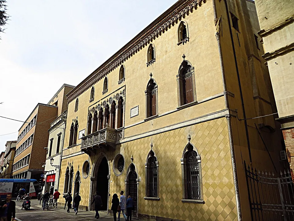

What is there today
From the street, nothing: the river it crossed was filled in, and the bridge sits entirely below the modern road (OpenStreetMap; Turismo Padova, the city’s tourism site). Underneath, its three arches survive intact (en.wikipedia), and the regional tourism site calls it the best-preserved of Padua’s Roman bridges (Veneto Around Me, Regione del Veneto). It is reached through an underpass near the so-called Tomb of Antenor, the monument on Piazza Antenore that was long taken for the grave of the city’s mythical founder (Turismo Padova).
Is it worth the trip?
Only if your visit falls on one of its openings. On those days it is the best of Roman Padua: a bridge from the last decades of the Republic with its three arches intact, whose flat arches and thin piers make it important in the history of ancient engineering. On any other day there is nothing to see but the street, and the city’s other Roman remains (the amphitheatre wall in the Arena gardens and Ponte Molino, both in the open) are on the Patavium – Padua page.
Getting there
The bridge is in the historic centre, at the junction of Via San Francesco and Riviera dei Ponti Romani, by Piazza Antenore and about 80 m from the university’s Palazzo del Bo (OpenStreetMap). The Ponti Romani public-transport stop is about 70 m away; no public car park is mapped next to it, and the centre is partly closed to cars (en.wikipedia “Padua”).
It has no opening hours. The city’s tourism site says it opens on special occasions, for visits run by the volunteers of FAI Padova and its youth group (Turismo Padova, read 23 October 2026). At one such opening, in September 2018, it was open 10.00 to 12.30 and 15.00 to 17.00 with no booking needed (FAI). Paid guided tours also run on announced dates: one in September 2025 paired it with the great hall of Palazzo della Ragione and cost €16, €12 for children up to 12 (Turismo Padova), and a “Padua underground” tour sold by the city’s tourism consortium pairs it with the medieval and Roman remains under Palazzo della Ragione (Regione del Veneto). No current date or standing price is published, so check the Turismo Padova and FAI event listings before planning around it.
Visiting details
- Opening hours
- No regular opening hours. The bridge lies under the street and is opened only on special occasions, for visits run by the volunteers of FAI Padova and its youth group; at one such opening, in September 2018, it was open 10.00–12.30 and 15.00–17.00 with no booking needed. Paid guided tours that combine it with Palazzo della Ragione are also run on announced dates.
- Tickets
- No standing ticket. A guided tour of Palazzo della Ragione and the bridge listed by the city in September 2025 cost €16 (€15 for members, €12 for children up to 12); prices for other openings are not published.
- Parking
- No public car park is mapped beside it (the car park 83 m away is private), and the historic centre is partly closed to cars; bicycle racks stand 31 m away and the Ponti Romani public-transport stop about 70 m away.
Before you go
- Nothing of the bridge can be seen from the street. Outside the announced openings there is nothing to visit, so check the Turismo Padova and FAI event listings before planning around it.
Hours and prices checked 23 October 2026 on the operator's own site. Confirm before travelling.
History
The bridge crossed the Medoacus, the river of Roman Padua, whose bed the Bacchiglione later took (en and it.wikipedia); the city’s tourism site calls this stretch the Inner City Canal (Turismo Padova). An inscription on the bridge dates it to between 47 and 30 BC (en.wikipedia). It is 53.30 m long and 8.35 m wide, and its three arches span 12.8 m, 14.4 m and 12.5 m. Each arch is a shallow segment of a circle, 113° rather than the 180° of the usual Roman semicircular arch, with a span 3.7 times its rise. The piers are only 1.72 m thick, an eighth of the central span; Roman piers generally measured, as far as is known, between half and a fifth of the span, and piers this slender were not built again until the High Middle Ages (en.wikipedia). Like Padua’s other Roman bridges, it was built of large carved blocks of Costozza stone (Turismo Padova).
Medieval documents from the 9th century onwards call it Ponte Santo Stefano, after a Benedictine convent nearby; it took the name of the neighbouring church of San Lorenzo only in the 16th century (Turismo Padova). Buildings crept up to the waterway over the centuries until only the eastern arch was still largely in view, and that disappeared in the mid-20th century when the last of the canal was filled in (en.wikipedia); the city dates the filling to the 1960s, its course now taken by Riviera Tito Livio and Riviera dei Ponti Romani (Turismo Padova). Parts of the bridge were uncovered during earthworks in 1773 and 1938 and studied while they were open (en.wikipedia); the city’s tourism site says the 1938 excavation, made during the restoration of the university’s Palazzo del Bo, brought the whole bridge to light (Turismo Padova).
Nearby
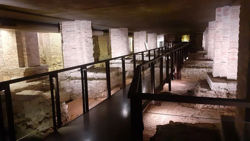
Photo: Adert · CC BY-SA 4.0 · Commons
30 km · town house · Veneto
Archaeological area of the Vicenza cathedral
About 750 m² of excavation run under the cathedral nave, the sacristy and the crypt.

Straight-line distances.
Sources
Every fact on this page comes from the records below, each used under the licence noted.
| Source | Licence |
|---|---|
| Pleiades 567970830 | CC BY |
| Wikidata Q2103738 | CC0 |
| OpenStreetMap way/839266591 | ODbL |
| Turismo Padova (Comune di Padova) — San Lorenzo Bridge | licence not recorded |
| Turismo Padova (Comune di Padova) — From the Palazzo della Ragione to the Ponte di San Lorenzo (tour, September 2025) | licence not recorded |
| FAI — Alla scoperta del ponte romano di San Lorenzo (opening, September 2018) | licence not recorded |
| Veneto Around Me (Regione del Veneto) — Padua underground | licence not recorded |
| Wikipedia (en) — Ponte San Lorenzo | CC BY-SA 4.0 |
| Wikipedia (de) — Ponte San Lorenzo (Padua) | CC BY-SA 4.0 |
| Wikipedia (it) — Ponte di San Lorenzo | CC BY-SA 4.0 |