

What is there today
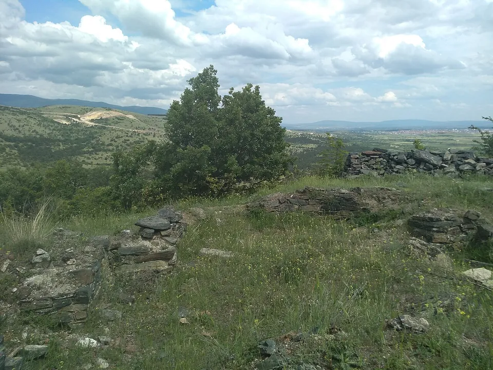
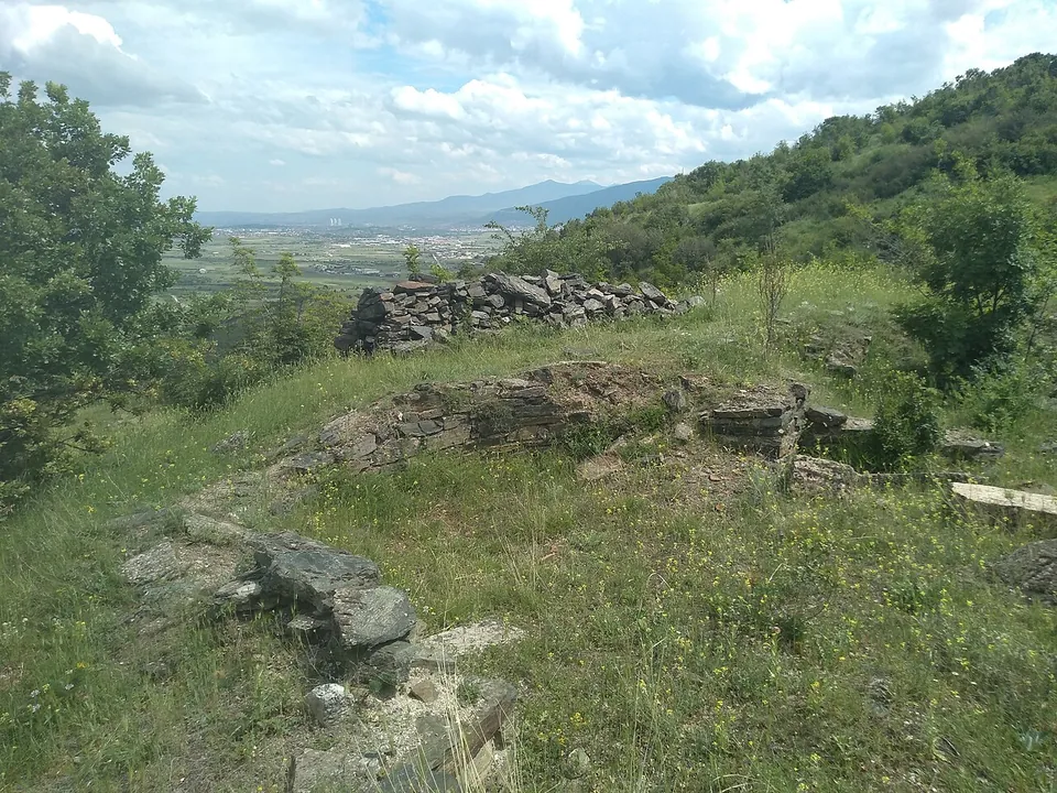
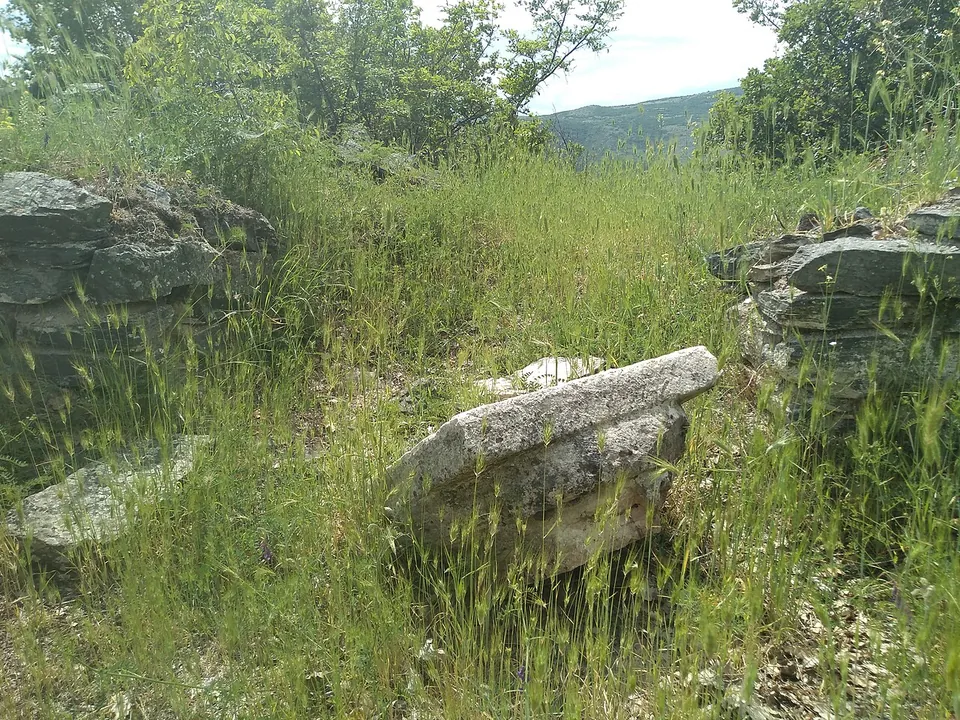
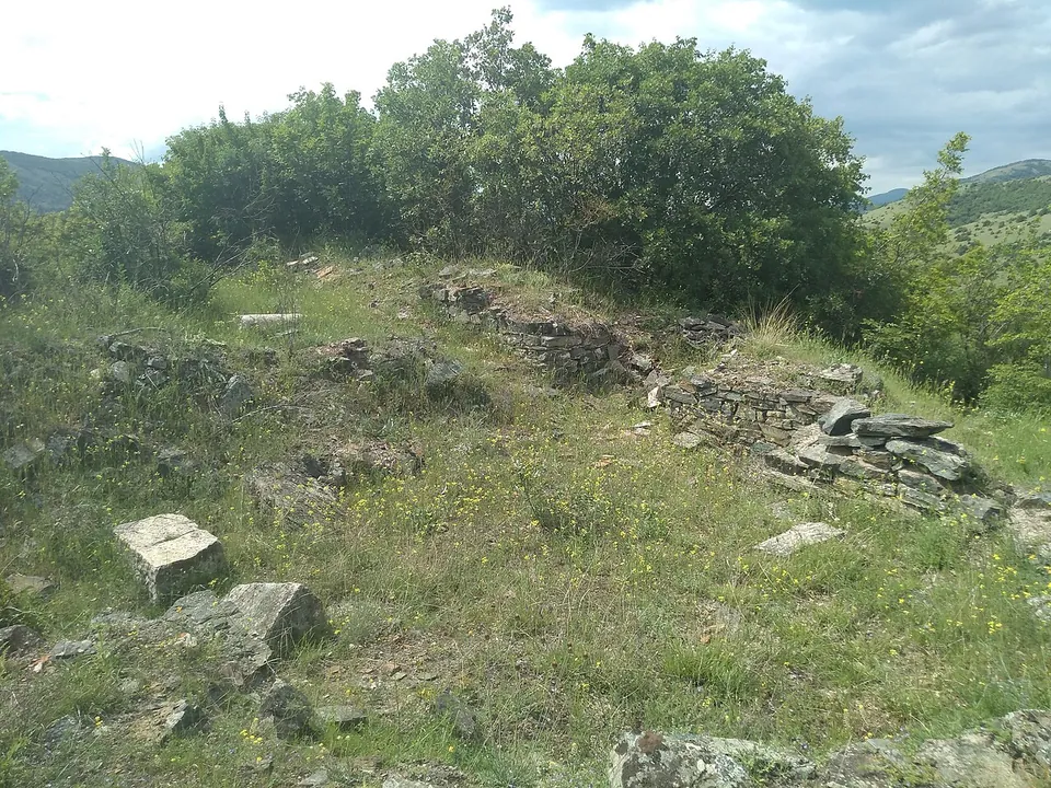
At the southern, highest end of the hill stands the acropolis: an oval castle of about 185 × 110 m whose towered walls of stone and lime date from the late Roman 4th century and were rebuilt in the 6th, after the earthquake of 518. Inside, rows of houses with several rooms along narrow parallel lanes can still be seen clearly on the surface, and a church stood at the highest point. North of it, on a narrow terrace, the core of the town was laid out to a plan in the 6th century: a double wall with towers and a large gate at the north end, a small square lined with shops, larger houses to the north and a basilica and other large buildings to the south. Town and refuge covered 8.4 hectares (mk.wikipedia). The photographs show low walls of flat stones in the grass, with wide views over the valley.
Is it worth the trip?
Only if you like walking to a ruin for the view and the story. mk.wikipedia calls the walls and buildings extraordinarily well preserved, but what the photographs show is low walls in grass on a hilltop, with no path mapped to it and nothing to explain what you are seeing. For a late antique town you can walk around with a plan in hand, Stobi or Bargala is the better trip.
Getting there
The site is 3 km south-west of Čučer and 12 km north-west of Skopje, beside the main road to Kosovo at the southern end of the Kačanik gorge. The hill is long and flat-topped, its southern end drops 230 m to the Lepenec valley, its slopes are steep, and it is easily reached only from the north-east (mk.wikipedia). OpenStreetMap maps no path, road or car park within 300 m of it, and no source records an operator, opening hours or a fee.
Visiting details
- Tickets
- Unknown
Before you go
- OpenStreetMap maps no path, road or car park within 300 m of the site; the slopes are steep and the hill is easily reached only from the north-east (mk.wikipedia).
- No source records an operator, opening hours or a fee; it is open hillside.
History
The hill overlooks the main road for several kilometres north into the gorge and south across the plain, and old iron mines lie a few kilometres to the north-east. The castle on the acropolis was built in the late Roman period, and in the 6th century it was renewed and the planned town was built next to it in a single campaign. Its wealth came mainly from iron and metalworking: many small iron objects made here in the 5th and 6th centuries have been found, and a lead seal carries the name of a bishop, Toma. Besides the two basilicas in the town, six more churches are recorded nearby. The walls stayed usable in the Middle Ages, when the acropolis served as a watch post at the entrance to the Kačanik gorge (mk.wikipedia).
The name comes from the spring below the acropolis, which the people of the area call Davina (mk.wikipedia).
More photographs

Nearby
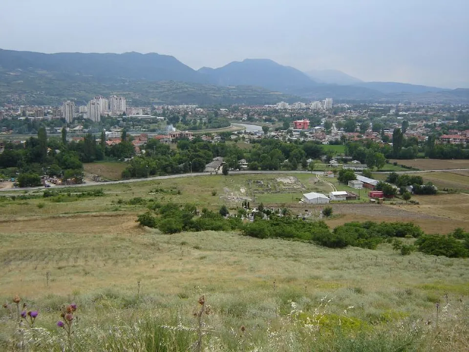
Photo: Dimitar Georgievski · CC BY-SA 2.0 · Commons
8 km · city · City of Skopje
Scupi
The city covered about 43 hectares — twice the size of Stobi, in the archaeologist Ivan Mikulčić's comparison (quoted by MARH).
Photo: kallerna · CC BY-SA 4.0 · Commons


Straight-line distances.
Sources
Every fact on this page comes from the records below, each used under the licence noted.
| Source | Licence |
|---|---|
| Wikidata Q12905975 | CC0 |
| OpenStreetMap node/1475331129 | ODbL |
| Wikipedia (mk) — Давина Кула | CC BY-SA 4.0 |