

What is there today
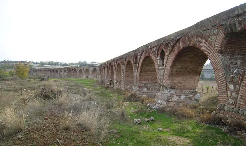
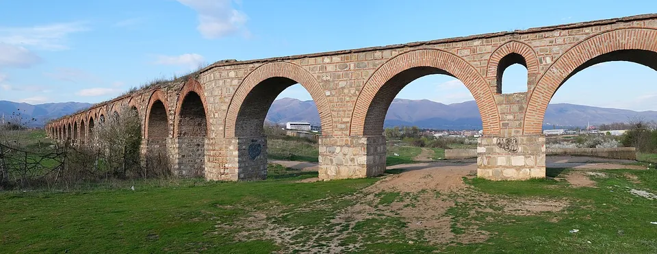
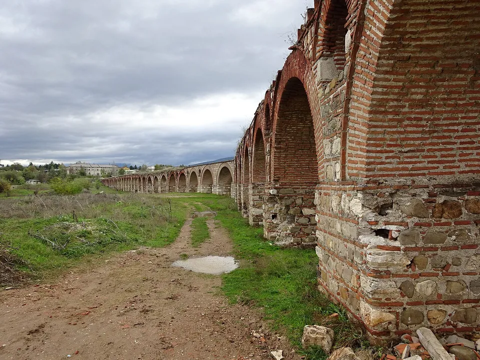
The arcade itself. Published figures put the surviving length at between about 386 and 400 m, carried on 55 arches, built of stone and brick (hr. and sq.wikipedia); the photographs show piers of roughly squared stone blocks bonded with courses of thin brick, under brick arches. It brought spring water from the Skopska Crna Gora mountains to the city (hr.wikipedia) and stayed in use until the 18th century (hr. and sq.wikipedia). The arcade is all there is to see: OpenStreetMap maps no museum or information board near it.
Is it worth the trip?
If you are in Skopje, yes. It is the only aqueduct in North Macedonia, and one of the three largest well-preserved aqueducts of the former Yugoslavia, with Diocletian’s Aqueduct near Split and the aqueduct at Bar (en.wikipedia). Scupi, the Roman city of Skopje, lies about 2.3 km away in a straight line.
One honest caveat: it may not be Roman at all (see History). Come for the structure rather than for a date.
Getting there
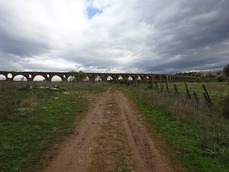
The aqueduct stands in the Vizbegovo neighbourhood, about 2 km north-west of central Skopje (en.wikipedia). Dirt tracks run right up to the piers; the nearest mapped road is a service road about 100 m away, and no bus stop or car park is mapped nearby (OpenStreetMap), so a taxi or a walk is the practical way in. No operator is recorded for the site, and no source records opening hours or a fee: it stands in open ground.
Visiting details
- Tickets
- Free
Before you go
- No bus stop is mapped within 300 m of the aqueduct, and no car park near it; the nearest road is a service road about 100 m away (OpenStreetMap).
- No operator is recorded for the site, and no source records opening hours or a fee. It stands in open fields reached by dirt tracks.
History
When the aqueduct was built has never been settled, and the published theories span more than a thousand years (hr. and sq.wikipedia, which give the same account). One makes it Roman, built in the 1st century to supply the legionary settlement at Scupi; a second dates it to the reign of the emperor Justinian, to supply the new settlement of Justiniana Prima; a third makes it Ottoman, built in the 16th century for the city’s many public baths. The records disagree in the same way: Pleiades, the gazetteer of ancient places, lists it as a Roman aqueduct and connects it with Scupi, while Wikidata gives it a construction date of 1600.
More photographs

Nearby
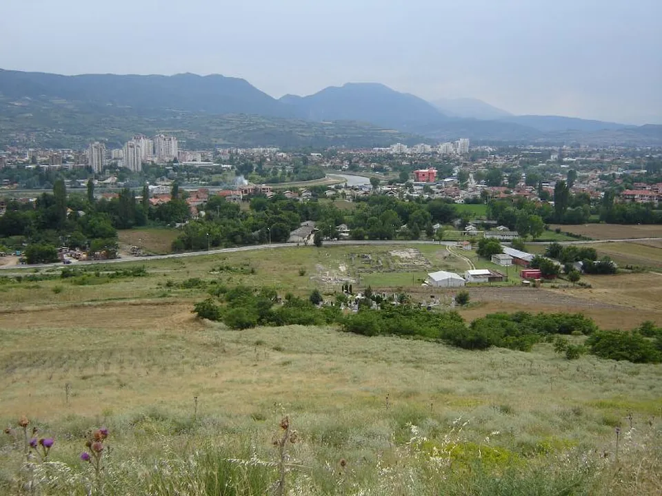
Photo: Dimitar Georgievski · CC BY-SA 2.0 · Commons
2 km · city · City of Skopje
Scupi
The city covered about 43 hectares — twice the size of Stobi, in the archaeologist Ivan Mikulčić's comparison (quoted by MARH).
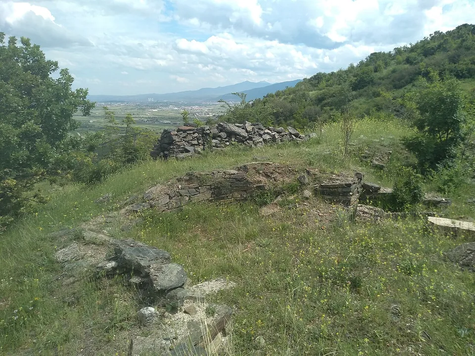
Photo: Македонец · CC BY-SA 4.0 · Commons
9 km · city · Municipality of Čučer-Sandevo
Davina Kula
At the southern, highest end of the hill stands the acropolis: an oval castle of about 185 × 110 m whose towered walls of stone and lime date from the late Roman 4th century and were rebuilt in the 6th, after the earthquake of 518.


Straight-line distances.
Sources
Every fact on this page comes from the records below, each used under the licence noted.
| Source | Licence |
|---|---|
| Pleiades 208962503 | CC BY |
| Wikidata Q862032 | CC0 |
| Vici.org 14928 | CC BY-SA (text), CC0 (metadata) |
| OpenStreetMap way/180360206 | ODbL |
| Wikipedia (en) — Skopje Aqueduct | CC BY-SA 4.0 |
| Wikipedia (hr) — Skopski akvadukt | CC BY-SA 4.0 |
| Wikipedia (sq) — Ujësjellësi i Shkupit | CC BY-SA 4.0 |