

What is there today
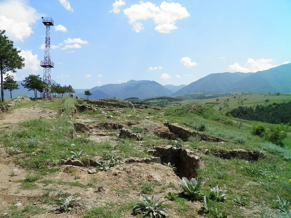
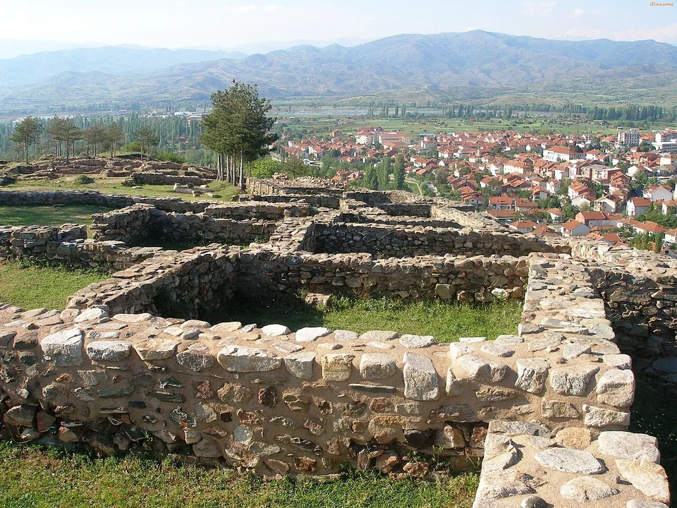
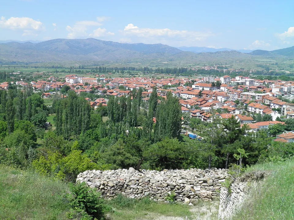
The site stands on a promontory of the Plačkovica range, about 70 m above the town (it. and mk.wikipedia). The buildings of the 4th–6th centuries beside the settlement’s wall are preserved (mk.wikipedia), and parts of the fortress have been conserved since 2000; in early 2020 vandals damaged some of the conserved structures in the northern part (Sakam da kažam, 2021). The photographs show low walls of rough stone forming rows of rooms, grassed over, with the town spread out below.
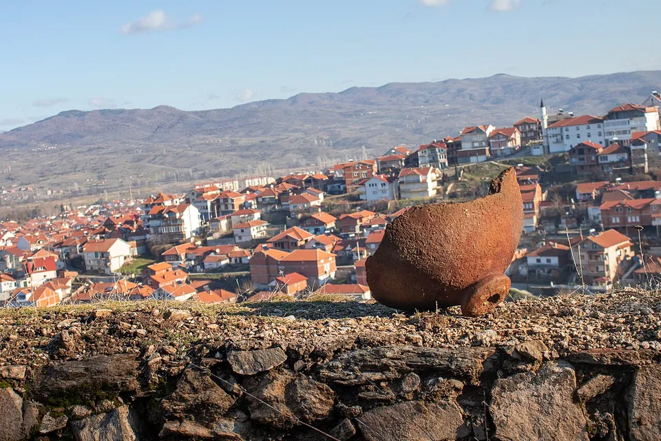
The finds are not on the hill. The terracotta icons, mainly Old Testament scenes, came from several points of the site, the largest group from near the tower on the eastern edge, and they are kept in the Terakota museum in Vinica (Sakam da kažam, 2021). When the new conservation project was announced, they were described as one of the most significant treasures of Macedonian archaeology (Makfax, 2025).
Is it worth the trip?
Worth a stop if you are in eastern North Macedonia, and best paired with the museum in town: the hill gives the setting, the museum the reason the site is famous. What is on the hill is low conserved walls rather than standing buildings, so come for the view over Vinica and the story rather than for architecture.
Getting there
The site is on the south-western edge of Vinica, beside the road to the village of Leski (mk.wikipedia). Grass footpaths and a track cross it; the nearest mapped road is about 100 m away, and no bus stop or car park is mapped nearby (OpenStreetMap). No source records a gate, opening hours or a fee for the hill, which OpenStreetMap tags as open to access. The Terakota museum publishes no opening hours or prices online.
A research and conservation project was announced in October 2025, to begin in 2026: full conservation of the structures and fortifications, stabilisation of endangered sections and new archaeological research (Makfax). No source says whether the site stays open while it runs.
Visiting details
- Tickets
- Free
Before you go
- A research and conservation project was announced in October 2025 to begin in 2026; no source says whether the site stays open while it runs.
- No bus stop or car park is mapped near the site; the nearest mapped road is about 100 m away (OpenStreetMap).
- The terracotta icons found here are in the Terakota museum in Vinica, which publishes no opening hours or prices online.
History
The hill was lived on from the Neolithic to the Middle Ages (en. and it.wikipedia); Pleiades, the gazetteer of ancient places, lists Vinica as a place of the Roman and late antique periods. The site was discovered in 1954, and in 1978 five fragments of terracotta icons were found there (en. wikipedia). Since 1986 the icons have been shown in exhibitions around the world (Sakam da kažam, 2021).
More photographs

Nearby
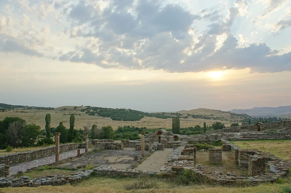
Photo: Stotosenik · CC BY-SA 3.0 · Commons
20 km · city · Municipality of Karbinci
Bargala
Excavation, begun in 1966, has uncovered the trapezoidal circuit of the town with its seven towers and two gates (en.wikipedia); the photographs show stone walls banded with brick, standing in places to more than head height, with brick arches.
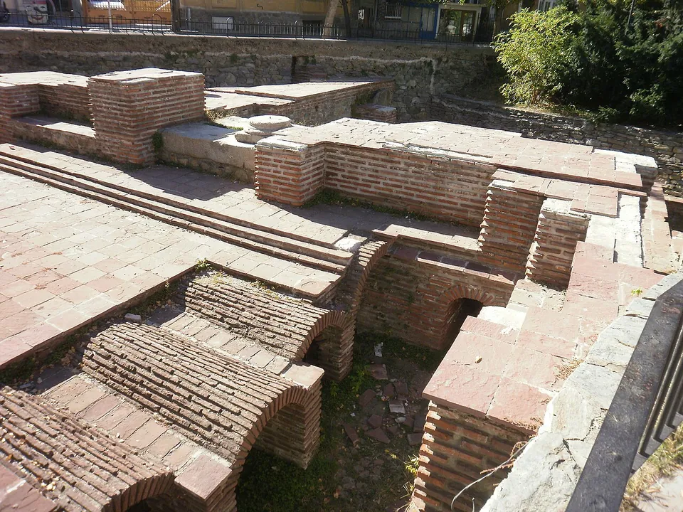
Photo: Спасимир · CC BY-SA 3.0 · Commons
48 km · bath · Kyustendil Province
Roman baths of Pautalia
Parts of six rooms have been uncovered over about 1,000 m², of a building thought to have covered some 3,000 m².


Straight-line distances.
Sources
Every fact on this page comes from the records below, each used under the licence noted.
| Source | Licence |
|---|---|
| Pleiades 491749 | CC BY |
| Wikidata Q3078451 | CC0 |
| OpenStreetMap way/1109661815 | ODbL |
| Wikipedia (en) — Viničko Kale | CC BY-SA 4.0 |
| Wikipedia (mk) — Виничко Кале | CC BY-SA 4.0 |
| Wikipedia (it) — Fortezza di Vinica | CC BY-SA 4.0 |
| Sakam da kažam — Viničkoto kale se konzervira (28 November 2021) | licence not recorded |
| Makfax — Ljutkov od Vinica (24 October 2025) | licence not recorded |