What is there today
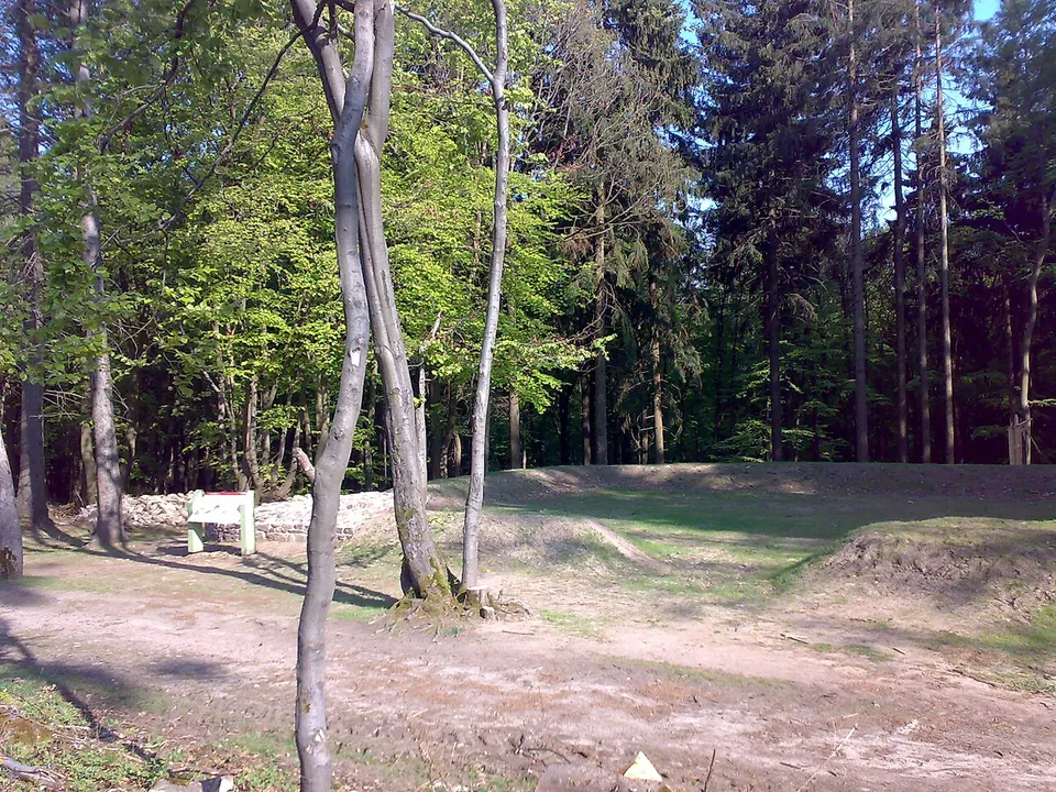
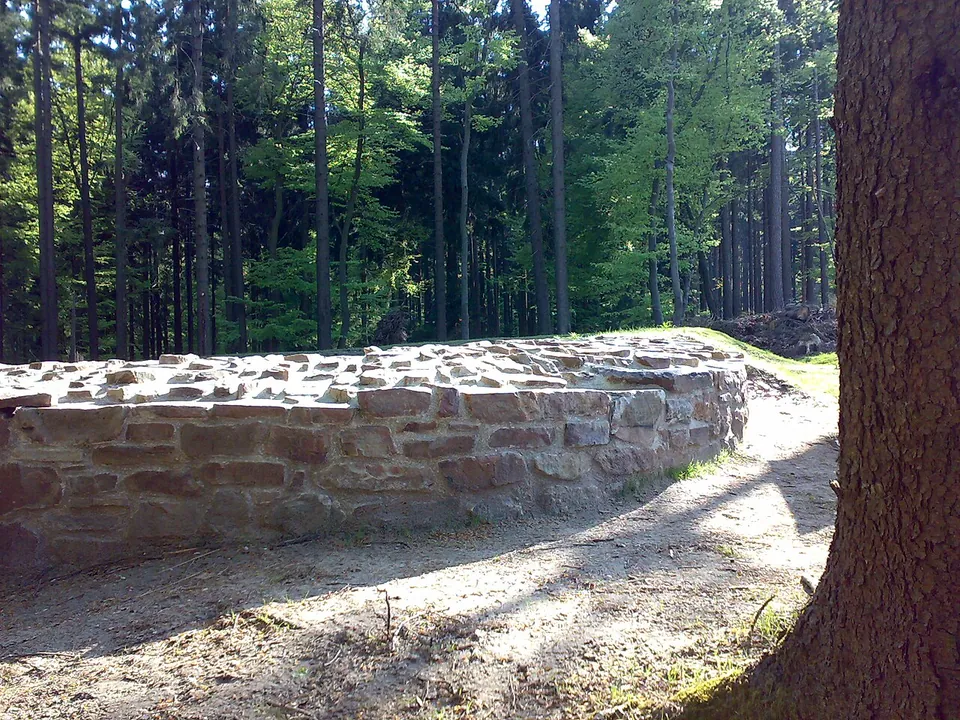
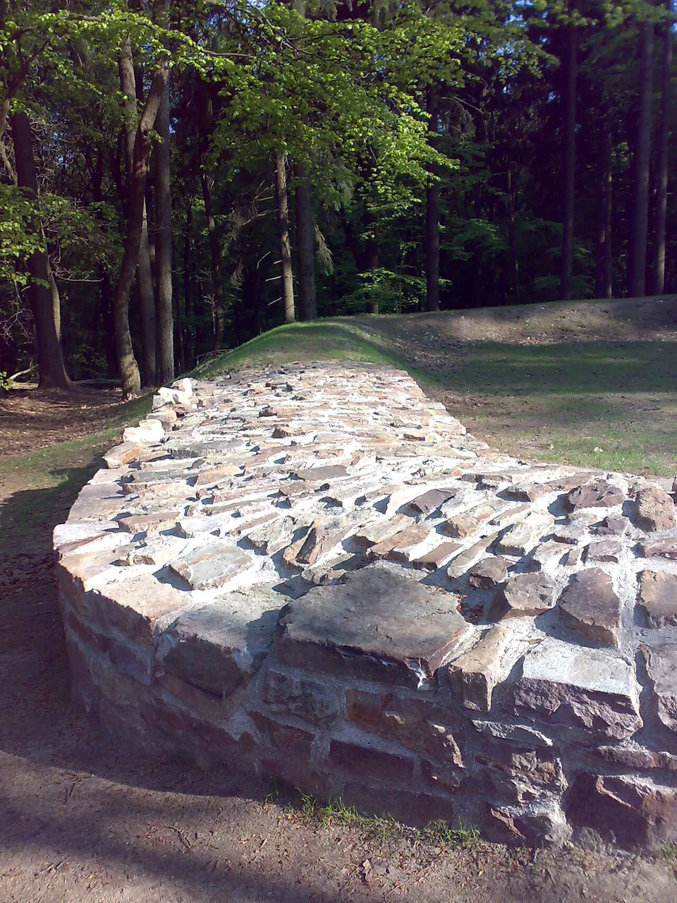
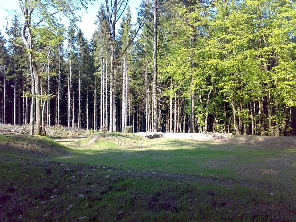
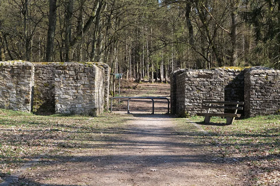
The fort measured 19.4 by 23.4 m, with the rounded corners of Roman forts of its time and a single gate facing the frontier (de.wikipedia). What you see is the line of its enclosure wall, about 2 m thick, built of rough local quartzite without lime mortar, perhaps bedded in clay. The walls were conserved in 2009: some stretches lie open, one corner was built up a little, and elsewhere a protective bank of earth covers the wall and traces its course (de.wikipedia; hessenARCHÄOLOGIE). Inside is an open, grassy space. An information board stands at the fort (OpenStreetMap; hessenARCHÄOLOGIE).
The way in follows the frontier itself: for the last 500 m the signposted trail from Sandplacken leaves the forest track and runs along the Limes ditch (hessenARCHÄOLOGIE).
Is it worth the trip?
Not on its own. It is a small enclosure of low walls, reached only on foot, and a few minutes see all of it. Where it earns its place is as a stop on a walk along the frontier: the heritage body counts it among the landmarks of the Limes between Sandplacken and the Saalburg, the well-known fort about 5 km to the north-east along the same ridge (hessenARCHÄOLOGIE; de.wikipedia). A second small fort, Altes Jagdhaus, lies on the same stretch (hessenARCHÄOLOGIE).
Getting there
Drive to the Sandplacken pass on the L 3004 from Oberursel towards Schmitten, where it crosses the Hochtaunusstraße (L 3024) to the Feldberg. Turn right towards the Naturpark hikers’ car park (Wanderparkplatz Sandplacken), 300 m on the left. From there follow the gravel forest track east, signposted Limeserlebnispfad Hochtaunus towards the Saalburg; after about 1.3 km the trail turns off left along the Limes ditch, and 500 m on the fort is on the right (hessenARCHÄOLOGIE, via KuLaDig, read 31 October 2026). That is about 1.8 km each way. The car park is free, and a bus stop named Sandplacken is mapped at the pass, about 2 km from the fort in a straight line (OpenStreetMap).
There is no gate, ticket or opening time: the fort lies beside a public hiking trail in the forest, and no fee is published for it.
Visiting details
- Opening hours
- No gate and no published hours; the fort lies beside a public hiking trail in the forest.
- Tickets
- No fee is published and none is tagged in OpenStreetMap.
- Parking
- Wanderparkplatz Sandplacken, the Naturpark hikers' car park off the Sandplacken pass on the L 3004 between Oberursel and Schmitten, about 1.8 km south-west of the fort (free, OSM way/23397052); from there a gravel forest track and then the signposted Limeserlebnispfad Hochtaunus lead to it.
Before you go
- The fort is reached only on foot, about 1.8 km each way through the forest from the Sandplacken car park. The nearest mapped bus stop, Sandplacken at the pass, is about 2 km from the fort in a straight line.
Hours and prices checked 31 October 2026 on the operator's own site. Confirm before travelling.
History
The fort was built around the middle of the 2nd century AD, possibly to strengthen a frontier that already existed. It lies about 12 m behind the Limes, at about 610 m on the Eichkopf, a spur of the main Taunus ridge (de.wikipedia). The heritage body reads it, with Altes Jagdhaus, as a fort probably slotted in later between the watchtowers to tighten control of the stretch between the Feldberg fort and the Saalburg. Close by, the Metzgerpfad, an old route between the Usingen basin and the Vordertaunus foothills, crossed the frontier (hessenARCHÄOLOGIE; de.wikipedia). Its garrison is put at about twenty men, perhaps detached from the Saalburg (de.wikipedia). Burnt debris mixed with clay inside suggests that its time as a garrison post ended in a large fire (de.wikipedia).
Louis Jacobi and Karl August von Cohausen excavated it in July 1892, when the wall still stood up to 1.80 m high. The dig found a hearth and two stretches of internal footings, and among the small finds were a bronze coin each of Hadrian and Marcus Aurelius, three brooches, two iron spearheads, an arrowhead and a quern of lava from Mendig, which shows the soldiers ground their own grain (de.wikipedia). Stone robbing later left only a collapsed stone wall, until the site was cleared and conserved in 2008–2009 (de.wikipedia). The name Heidenstock comes from a mistaken local belief that the ruin was a customs post of the “heathen” Romans (de.wikipedia). With the rest of the Upper German-Raetian Limes, the fort has been part of a UNESCO World Heritage Site since 2005 (de.wikipedia).
More photographs
Nearby
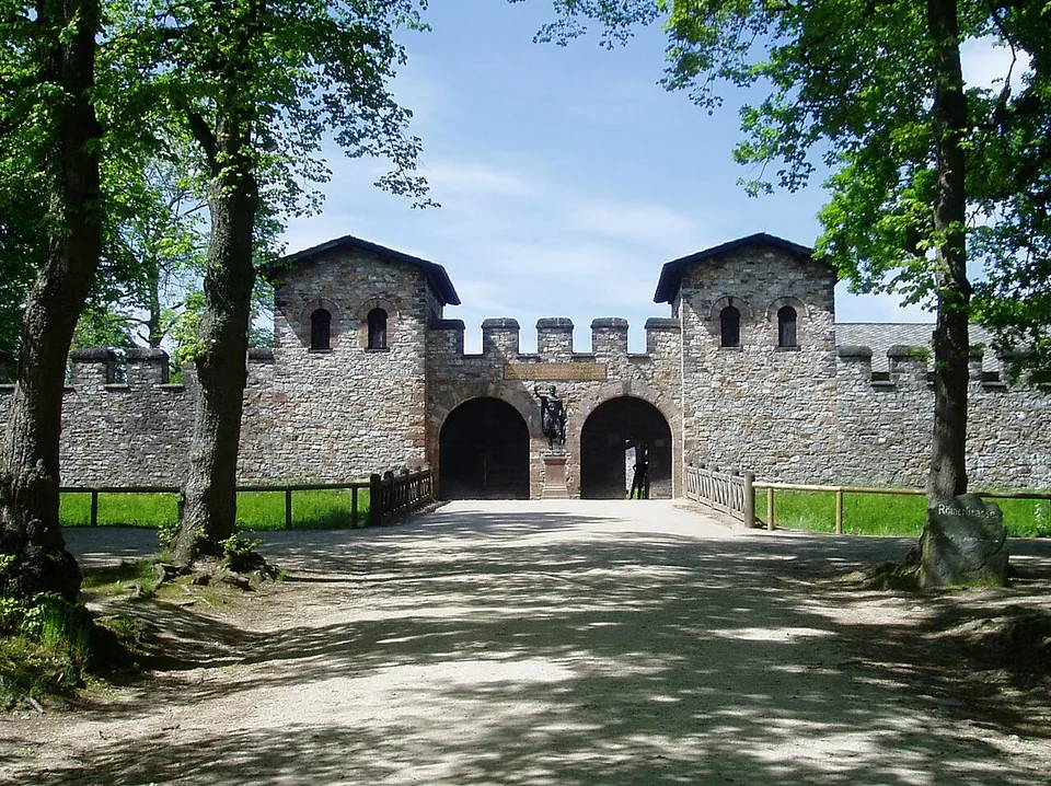
Photo: en:User:Ekem · Public domain · Commons
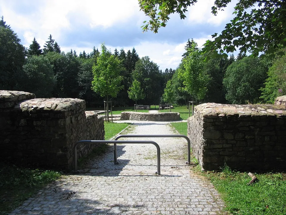
Photo: Brühl · Public domain · Commons
6 km · fort · Hesse
Kastell Kleiner Feldberg
The fort is a clearing in the forest with its complete ground plan laid out in low stone walls: a rectangle of 78 by 93 m with rounded corners and gateways in its sides, and, at the centre, the headquarters building (principia) with the curved apse of its shrine of the standards (de.wikipedia; the operator).
11 km · fort · Hesse
Castra of Kapersburg
The fort sits in a forest clearing in front of a hill called the Saukopf and covers 134 by 122 m, about 1.6 hectares (the operator).


Straight-line distances.
Sources
Every fact on this page comes from the records below, each used under the licence noted.
| Source | Licence |
|---|---|
| Wikidata Q1746869 | CC0 |
| Vici.org 4463 | CC BY-SA (text), CC0 (metadata) |
| OpenStreetMap way/89611986 | ODbL |
| Wikipedia (de) — Kleinkastell Heidenstock | CC BY-SA 4.0 |
| KuLaDig — Kleinkastell Heidenstock (text by hessenARCHÄOLOGIE, 2018, with directions) | licence not recorded |