

What is there today
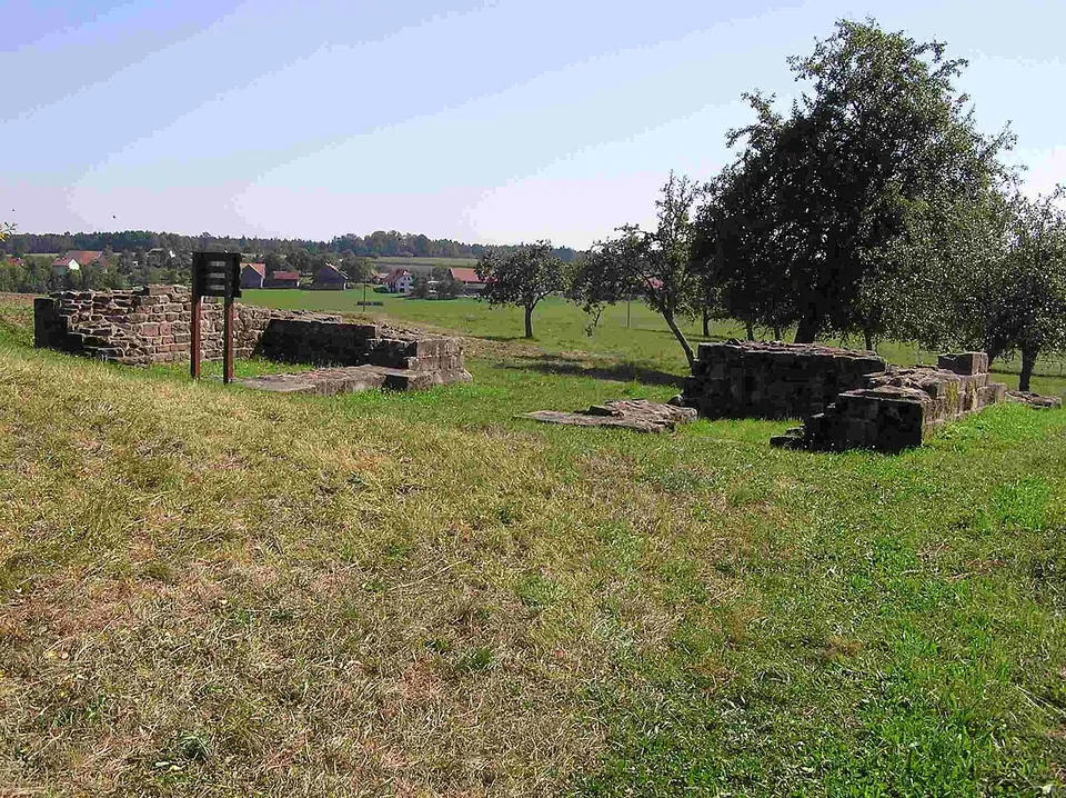
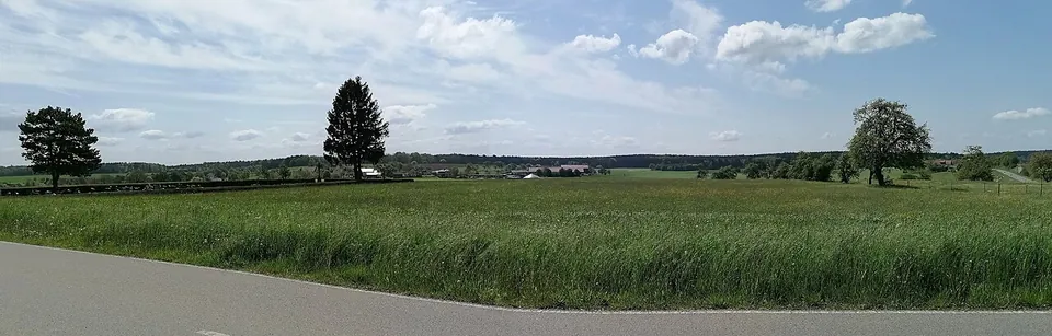
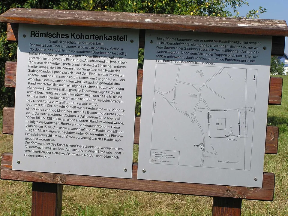
The one built thing to look at is the south gate, the porta principalis dextra. It was dug out and conserved in the 1880s, and its lower parts, in the red sandstone of the region, lie open (de.wikipedia; the board on site). Around it, the fort shows as clear traces in the ground: the camp lies in the meadow called “Burgmauer” between the village centre and the cemetery, built over only in part on its west side, and one of its long sides lies under the road to Unterscheidental (de.wikipedia). The information board at the gate, as photographed in 2005, says this is the only fort of its size in northern Baden that is still almost entirely free of modern building. Nothing can be seen of the fort’s bath house or of the civilian settlement outside the walls (de.wikipedia).
Is it worth the trip?
As a stop on a drive along the Odenwald frontier, yes: it takes a few minutes, it costs nothing, and the open meadow gives a real sense of the size of a cohort fort, with a plan on the board to read it by. As a destination in its own right, no. The masonry is a gate surviving only in its lower parts, not a standing wall, and the rest is grass.
Getting there
The fort lies on the south-eastern edge of the centre of Scheidental, south of Kastellstraße (de.wikipedia). A public car park with no fee is mapped about 240 m away, and the bus stop “Scheidental, Ort” about 220 m away (OpenStreetMap); public toilets are mapped about 120 m from the gate. The remains lie in open ground, mapped as freely accessible: no opening hours or admission charge are published, and no fee is tagged on the map.
Visiting details
- Tickets
- Free
- Parking
- A public car park with no fee is mapped about 240 m from the gate (OSM relation/4497346), and street-side parking about 220 m away (OSM way/885987653).
Before you go
- The remains are an unstaffed field monument; no operator publishes opening hours or an admission charge.
History
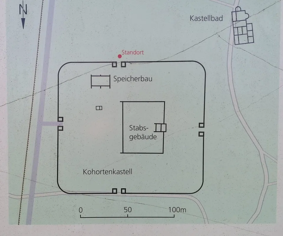
On the pattern of the whole older Odenwald line, the fort would have been founded under Trajan as a timber-and-earth camp, given a dry-stone wall under Hadrian and a mortared wall between 140 and 150; excavation, however, has proved only one building phase, a stone fort of about 2.1 ha (de.wikipedia). It measured about 135 m across its front and back and about 152 m along its sides, with rounded corners, towers at the corners and at each of four gates, and a ditch around it. Its main gate faced east towards the frontier line, which ran only about 25 m away (de.wikipedia).
Inside, excavators located the headquarters building with its shrine for the standards, a small bath building, and a large building that may have been the commander’s house or a granary (de.wikipedia); the 2005 board calls it the commander’s house, while the plan on the board photographed in 2023 marks a storage building near the south gate. The fort’s main baths lay about 40 to 50 m south-west of the camp; building the road to Eberbach in the first half of the 19th century destroyed one corner of them (de.wikipedia), most of them according to the board.
Two cohorts of roughly 480 to 500 men each are known to have been stationed here. The 3rd Cohort of Dalmatians came first and was moved to Rückingen on the Wetterau frontier around 120; the part-mounted 1st Cohort of Sequani and Raurici replaced it, and around 159, when the frontier was moved east, it went on to Miltenberg-Altstadt on the Main (de.wikipedia; the 2005 board dates the move to about 150).
Roman finds were known here from the first half of the 19th century. The fort itself was located on 1 July 1880, first excavated in 1883, its south gate restored in 1886, and further excavations followed in 1895 by the Reich Limes Commission (de.wikipedia).
More photographs

Nearby
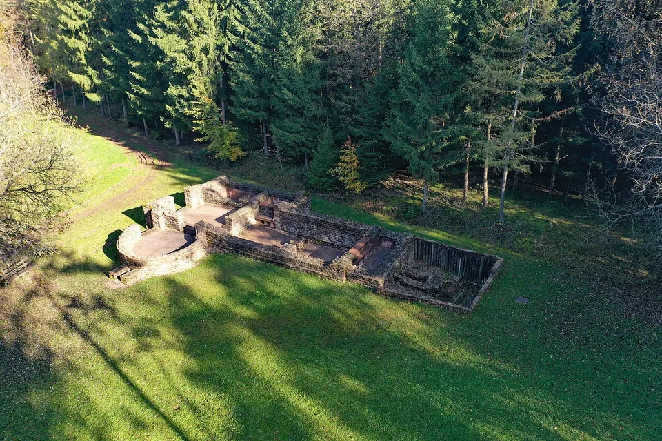
Photo: PaulT (Gunther Tschuch) · CC BY-SA 4.0 · Commons
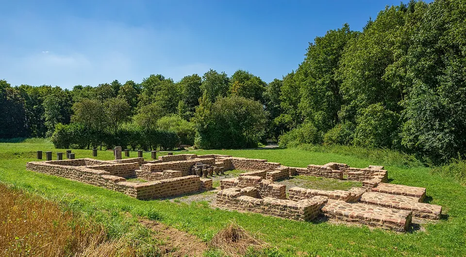
Photo: Roman Eisele · CC BY-SA 4.0 · Commons
19 km · fort · Baden-Württemberg
Castra of Walldürn
Be clear about this before you go: the fort itself has gone.
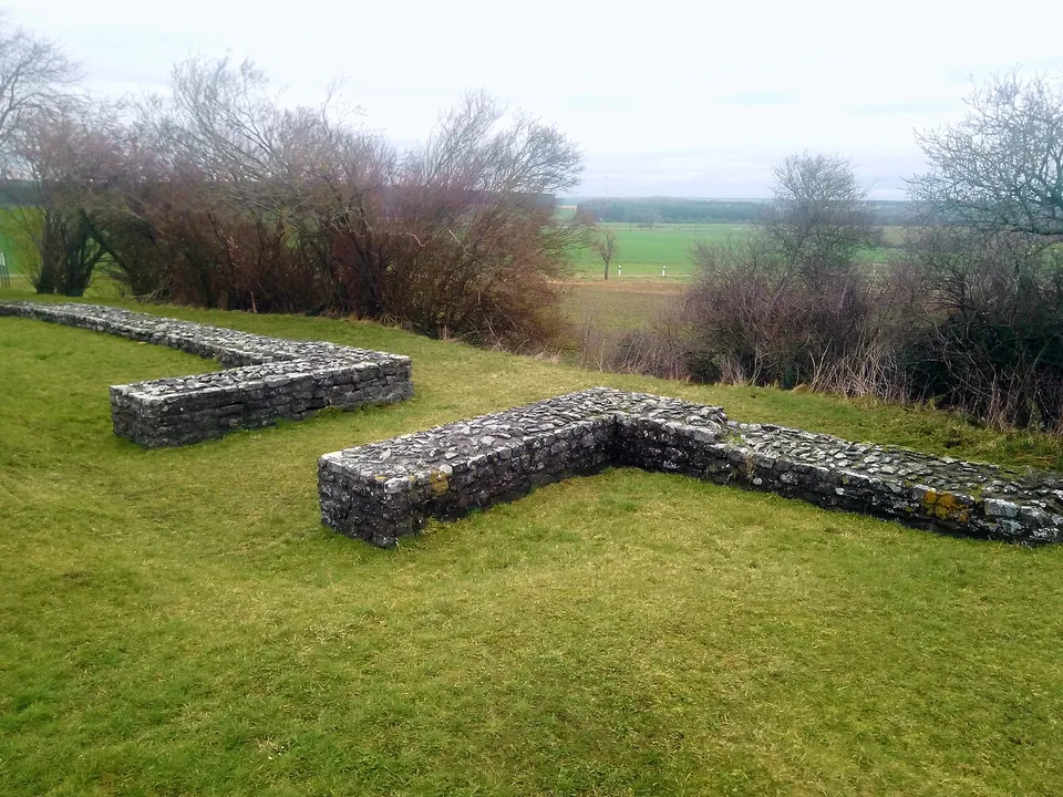
Photo: Granpar · CC BY-SA 4.0 · Commons
19 km · fort · Baden-Württemberg
Kleinkastell Haselburg
Kleinkastell Haselburg is the site of a small Roman fort on the Limes, the frontier of the empire, in open farmland between the villages of Reinhardsachsen and Gerolzahn near Walldürn.


Straight-line distances.
Sources
Every fact on this page comes from the records below, each used under the licence noted.
| Source | Licence |
|---|---|
| Pleiades 118890 | CC BY |
| Wikidata Q1735404 | CC0 |
| Vici.org 9670 | CC BY-SA (text), CC0 (metadata) |
| OpenStreetMap node/8238487747 | ODbL |
| Wikipedia (de) — Kastell Oberscheidental | CC BY-SA 4.0 |