

What is there today
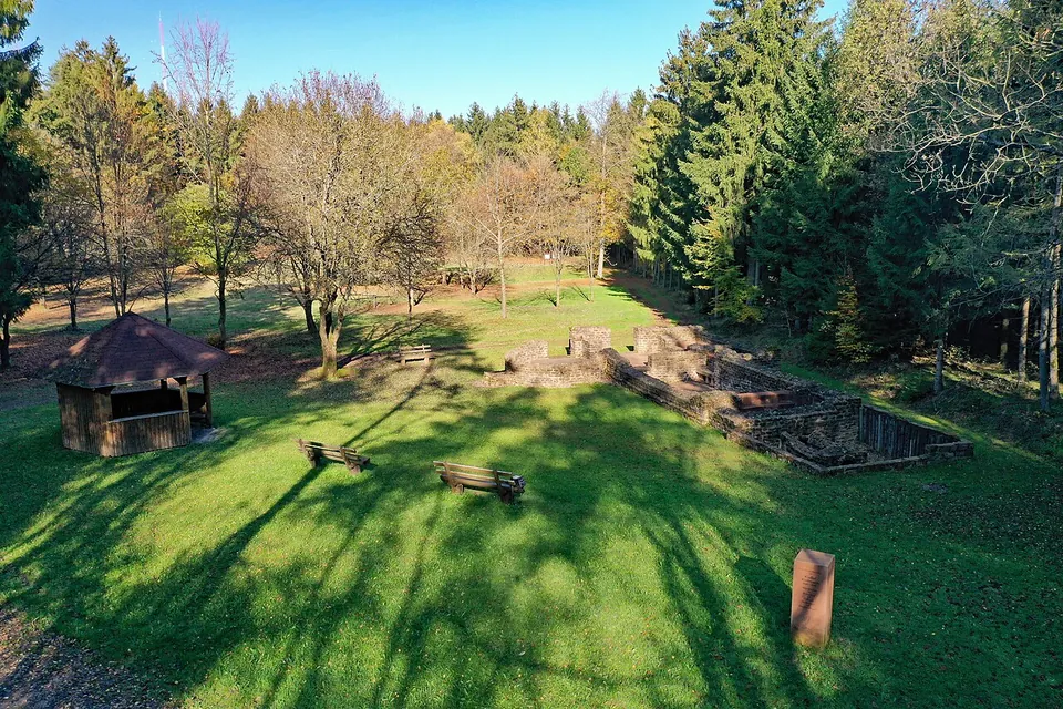
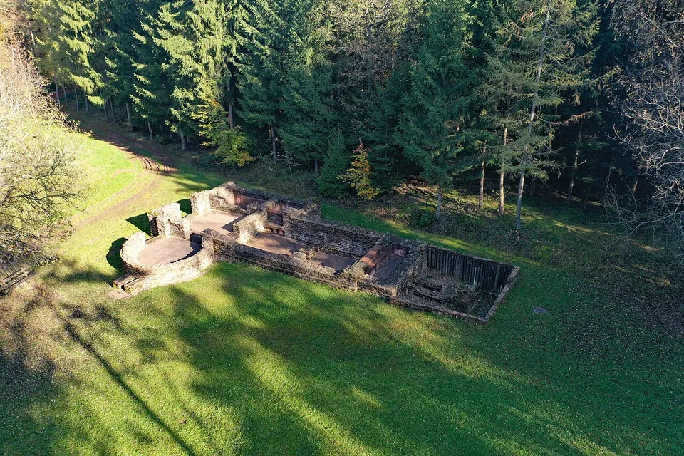
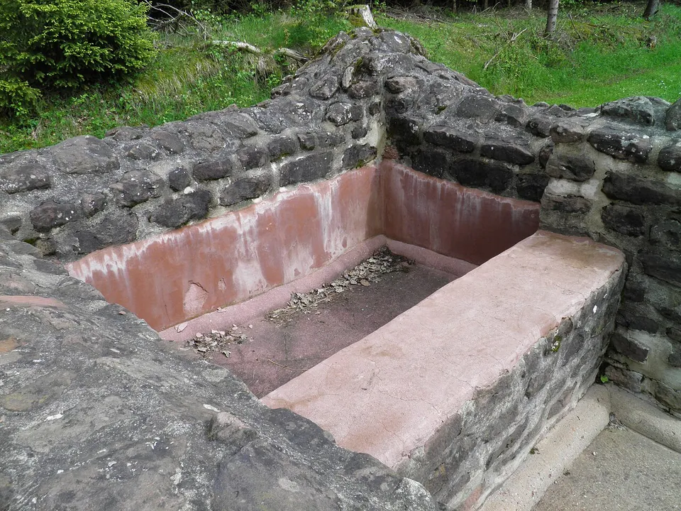
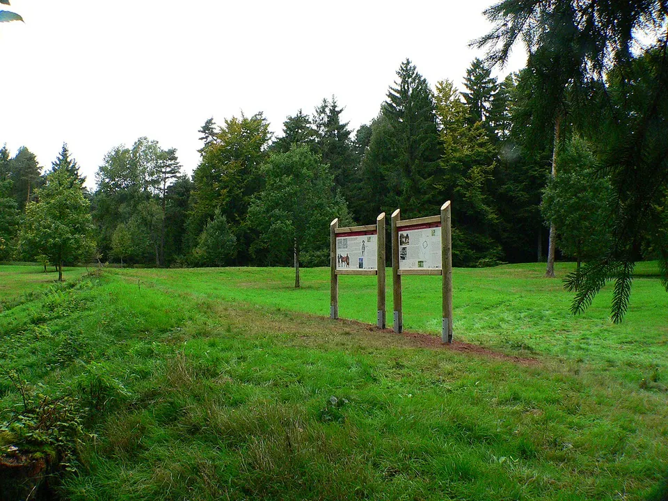
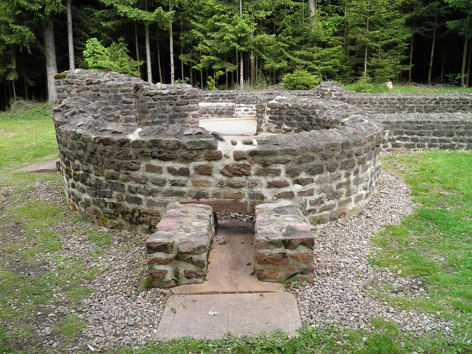
Two things, a short walk apart. The fort shows as a raised outline in the ground: the contours of its defences can still be clearly made out in the open terrain (de.wikipedia), and OpenStreetMap describes the area and its wall as a clearly visible rise, in places with the ditch still in front of it. It is considered one of the best-preserved small (numerus) forts of the Odenwald frontier (de.wikipedia). Just south of the fort, about 60 m from its side gate, lies its bath house, investigated and conserved by the Hessian heritage office in 1980. Its foundations and parts of the walls above them are conserved and give a good picture of how such a building was laid out (de.wikipedia); it was also partly reconstructed (vici.org). The photographs show walls of dark rubble stone about waist high, a round room and lined basins. Information boards stand in the fort meadow and at the bath, and the clearing has a small shelter and benches (OpenStreetMap).
Is it worth the trip?
If you like walking in the forest, yes. The bath house can be read room by room on the ground, the fort’s outline is there to walk round, and it costs nothing. It is not a site for a quick stop from the car: the nearest car park is about half a kilometre away, the fort itself is grass and a low bank, and the bath, though complete in plan, stands only about waist high. Come for a walk with a Roman goal at the end of it, not for ruins on the scale of a town.
Getting there
The fort lies about 2.5 km south of Würzberg, a village that is part of Michelstadt, in a clearing at the northern edge of the forest between Würzberg and Bullau, on a ridge at about 525 m (de.wikipedia). A hiking car park with no fee, “Naturpark-Parkplatz Römerbad”, is mapped about 550 m to the north-east in a straight line, and footpaths and a forest track run right past the remains; the nearest bus stops are in Würzberg, about 1.5 km to the north (OpenStreetMap). It is an open monument in the forest: no operator publishes opening hours or an admission charge, and no fee is tagged on the map.
Visiting details
- Tickets
- Free
- Parking
- A hiking car park with no fee, "Naturpark-Parkplatz Römerbad", is mapped about 550 m north-east of the fort in a straight line (OSM way/540074277); footpaths and a forest track lead to the remains.
Before you go
- The fort and its bath house are an unstaffed monument in the forest; no operator publishes opening hours or an admission charge.
- The nearest bus stops mapped are in the village of Würzberg, about 1.5 km to the north; there is no stop at the site.
History
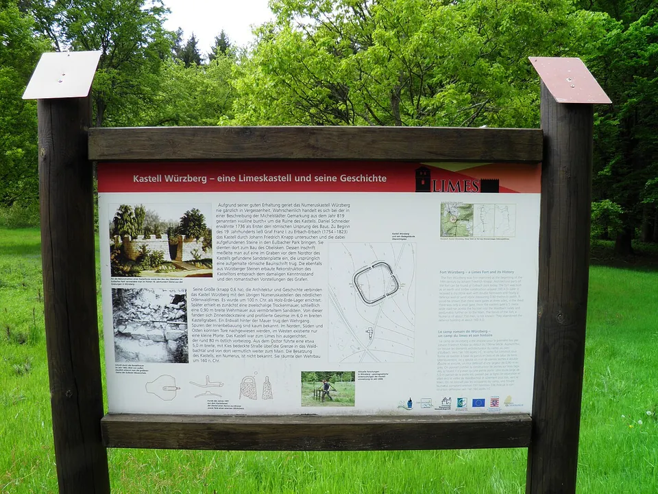
The fort belonged to the older Odenwald line of the Neckar-Odenwald frontier. It was built under Trajan as a timber-and-earth camp; under Hadrian, between 117 and 138, its wall was replaced by a double dry-stone wall filled with earth, and between 140 and 150 by a mortared stone wall. When the frontier was moved forward, the fort was given up, like the whole Odenwald line, by 159 at the latest (de.wikipedia). The board on site puts its foundation at around 100 and the departure of its garrison at around 160.
It covered about 0.6 ha, an irregular square of roughly 72 to 81 m a side with rounded corners and no corner towers, and a ditch about 6 m wide in front of the wall. The main gate faced the frontier line (de.wikipedia), which ran about 80 m to the east; from the east gate a gravelled road 5 m wide led over the frontier into the Waldbach valley and probably on to the Main (the board). Of the buildings inside almost nothing has been found; they were probably half-timbered. The garrison was a numerus, a unit of about 160 men, but nothing is known of which one (de.wikipedia). A civilian settlement outside the fort was detected in the 1930s but never published.
The bath house had all the rooms of a Roman bath on a small scale: a timber changing room, then in stone a cold room with a cold plunge, a warm room and a hot room each with its own basin, a round dry sweating room, and two furnaces. It was plastered and painted, had taps with running hot and cold water, and glass windows. Its building material included tiles of the 24th Cohort of Volunteer Roman Citizens, stationed at Heidelberg-Neuenheim (de.wikipedia).
The site may be the “Wllineburch” named in a description of the Michelstadt march in 819. The first reliable description dates from 1736. Early in the 19th century Count Franz I of Erbach-Erbach had it investigated by Johann Friedrich Knapp, and the excavations of 1895 by the Reich Limes Commission and of 1963 by the Saalburg Museum followed (de.wikipedia). The count took stones from the fort to his landscape park at Eulbach, about 5 km to the north, where an obelisk and a reconstruction of the fort’s gate were built from them, the gate following the knowledge and the romantic taste of the time (the board). The park is considered the oldest archaeological park in Germany (de.wikipedia).
More photographs



Nearby
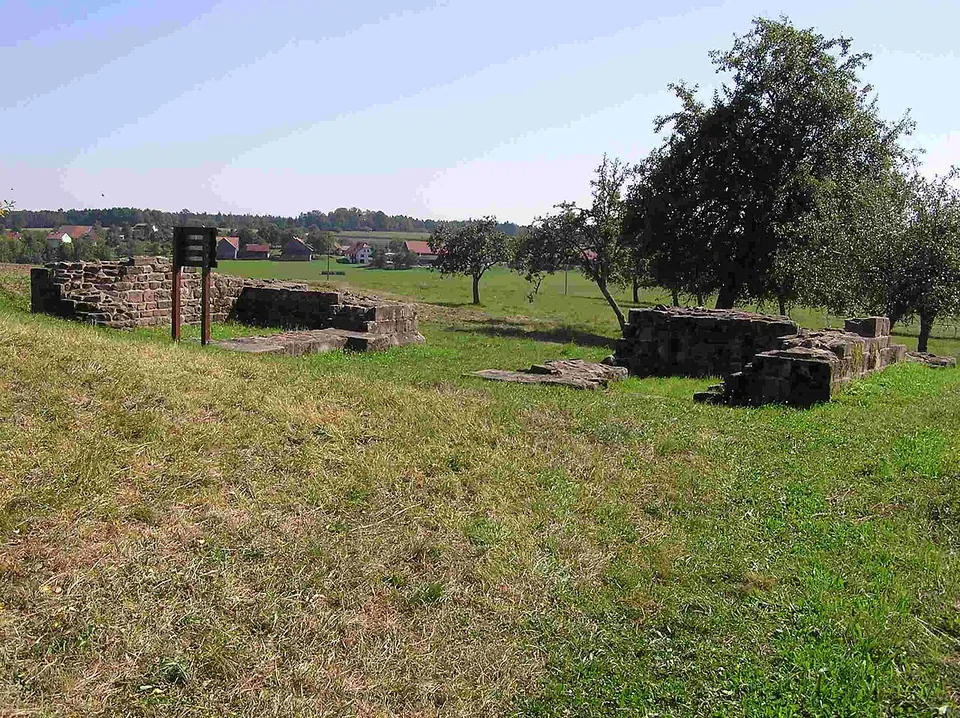
Photo: Schwing · Public domain · Commons
15 km · fort · Baden-Württemberg
Castra of Oberscheidental
The one built thing to look at is the south gate, the porta principalis dextra.
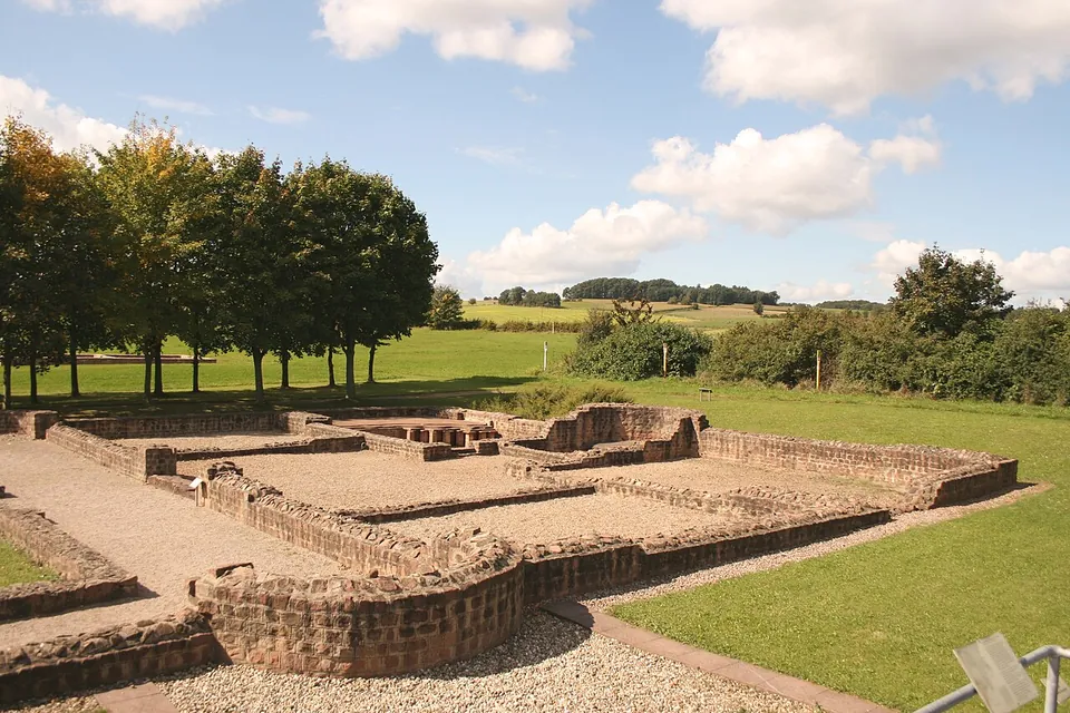
Photo: Haselburg-müller · CC BY-SA 3.0 · Commons
18 km · villa · Hesse
Haselburg Roman villa
The excavated buildings have been rebuilt on their own foundations to a low height, so the site reads as a plan you walk through rather than as standing ruins (the operator).
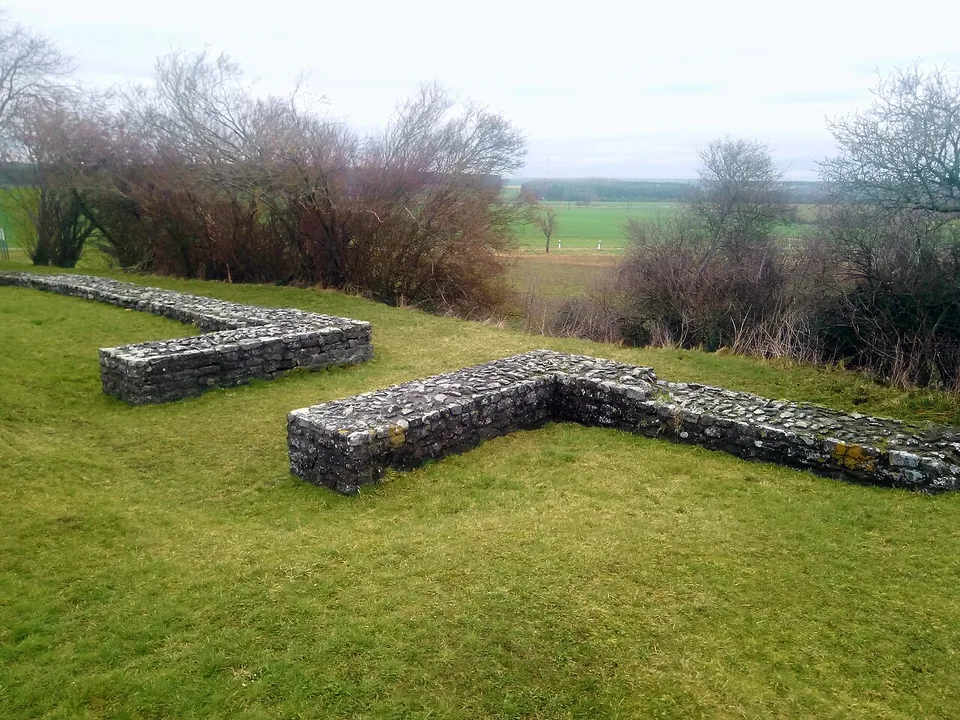
Photo: Granpar · CC BY-SA 4.0 · Commons
18 km · fort · Baden-Württemberg
Kleinkastell Haselburg
Kleinkastell Haselburg is the site of a small Roman fort on the Limes, the frontier of the empire, in open farmland between the villages of Reinhardsachsen and Gerolzahn near Walldürn.


Straight-line distances.
Sources
Every fact on this page comes from the records below, each used under the licence noted.
| Source | Licence |
|---|---|
| Wikidata Q1445553 | CC0 |
| Vici.org 8006 | CC BY-SA (text), CC0 (metadata) |
| OpenStreetMap node/8291538678 | ODbL |
| Wikipedia (de) — Kastell Würzberg | CC BY-SA 4.0 |
| Wikidata — Kastellbad Würzberg (Q127986619) | licence not recorded |
| vici.org — Bad des Kastells Würzberg | licence not recorded |
| Wikipedia (de) — Eulbacher Park | CC BY-SA 4.0 |