What is there today
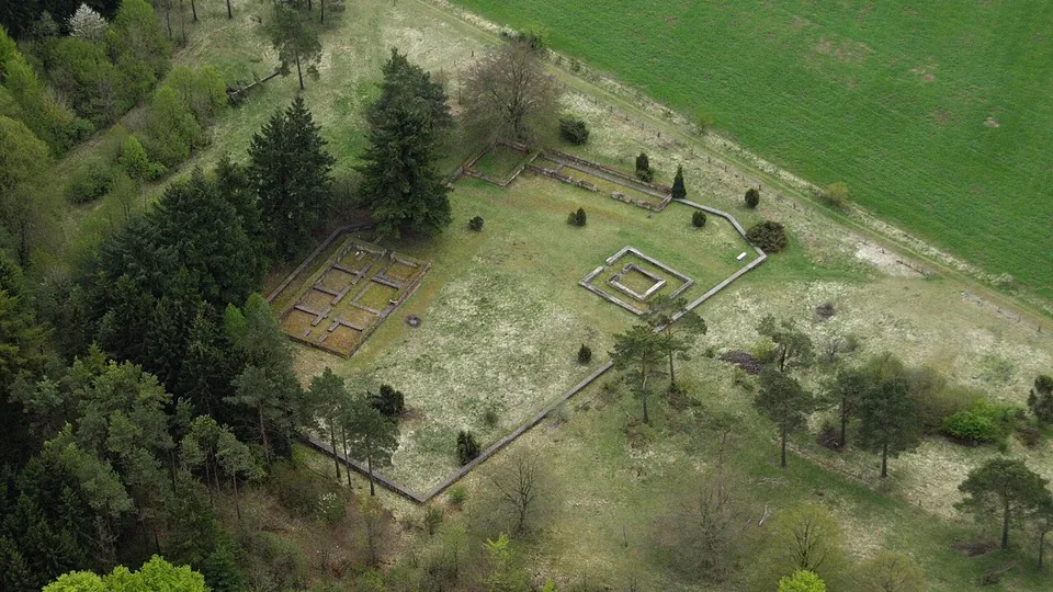
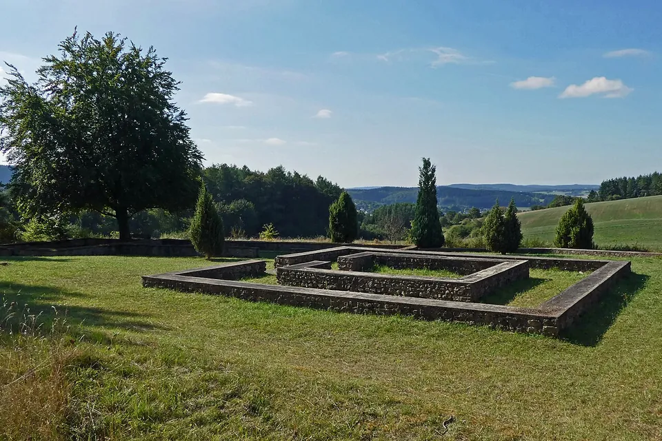
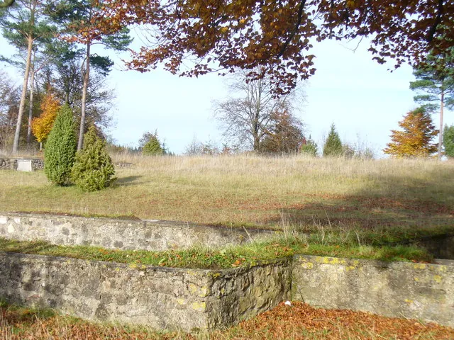
Only the foundation walls are left, uncovered in excavations in 1927 and 1928 (de.wikipedia, KuLaDig). They are enough to read the plan. The sanctuary covered 63 by 43 m and consisted of seven buildings; inside its enclosure wall stood the temple itself and four further buildings. How tall any of them once stood is no longer known (de.wikipedia). On the ground this means low stone walls marking out squares and rectangles on a grassy clearing, with a few conifers and a wide view, and an information board on the gallo-Roman temple precinct beside it (OpenStreetMap). The site lies between the rock formations of the Hustley and the Munterley, part of the Gerolstein Dolomites (de.wikipedia), and a geology board stands about 130 m away (OpenStreetMap).
Is it worth the trip?
As a stop on a walk above Gerolstein, yes: it is free, it never closes, and a ground plan on an open hilltop is easy to take in. As a destination in its own right, no. Nothing stands higher than the foundation walls, and no museum or visitor building is mapped at the site. Come for the plateau and the rocks, and the temple precinct is a good reason to choose this path over another.
Getting there
The site is 1.2 km from the centre of Gerolstein and belongs to the municipality of Pelm (de.wikipedia). No road, car park or public-transport stop is mapped at the site: the nearest mapped ways are grass paths and a field track, so plan to arrive on foot (OpenStreetMap).
It is open round the clock all year and nothing is charged (Tourist-Information Gerolstein, as listed in October 2025). The tourist office at Bahnhofstraße 4 in Gerolstein is the contact for the site.
Visiting details
- Opening hours
- Open at all times, every day of the year.
- Tickets
- Free. It is an open site on the plateau, and the tourist office lists no charge.
Before you go
- No car park, road or public-transport stop is mapped at the site; the last stretch is on grass paths and field tracks.
Hours and prices checked 14 October 2025 on the operator's own site. Confirm before travelling.
History
A votive tablet found in 1833 shows that the sanctuary was a Roman place of pilgrimage, and its inscription dates the dedication to 5 October 124. After it, a Roman named Marcus Victorius Polentius gave a temple to the goddess Caiva, presumably in thanks for a victory in battle. Postholes from before the Roman period, found on the site, suggest that a place of sacrifice stood here before the stone buildings (de.wikipedia).
Caiva is identified as the goddess worshipped here from the excavations. She was one of the protecting goddesses of the Celtic farming communities around Gerolstein and was also revered as a fertility goddess (de.wikipedia, KuLaDig). The 1920s excavations turned up offerings and many gold coins of the emperors Augustus (died AD 14) and Gratian (died 383), which points to a temple in use for several centuries (de.wikipedia, KuLaDig).
Accounts of its end differ. Traces of burning indicate that the sanctuary fell victim to arson after the 4th century and was not rebuilt (de.wikipedia, KuLaDig); vici.org puts its decline around 320; the Gerolstein tourist office says it was destroyed by the Franks in the 6th century.
The name has nothing to do with a Jewish cemetery, whatever the standard German form “Judenkirchhof” suggests. Its origin is not certain. The explanation archaeologists favour is that in the Middle Ages anything non-Christian could be called Jewish, so the ruins of a pagan sanctuary became a “Jews’ churchyard”; a less likely one connects it with the dialect word for a godmother, Jödde or Jodde, and the Celtic matron goddesses (de.wikipedia).
Nearby
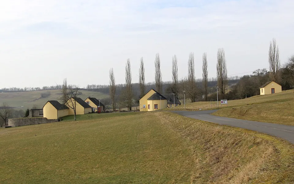
Photo: Colling-architektur · CC BY-SA 3.0 · Commons
26 km · villa · Rhineland-Palatinate
Villa Otrang
The remains of the manor house are protected by small shelter buildings put up by the Prussian state in the 19th century, now listed monuments in their own right (de.wikipedia; the operator).
28 km · temple · North Rhine-Westphalia
Görresburg
A low wall encloses a trapezoid of grass holding three small, almost square buildings, all facing east (KuLaDig, LVR; Eifel Tourismus).
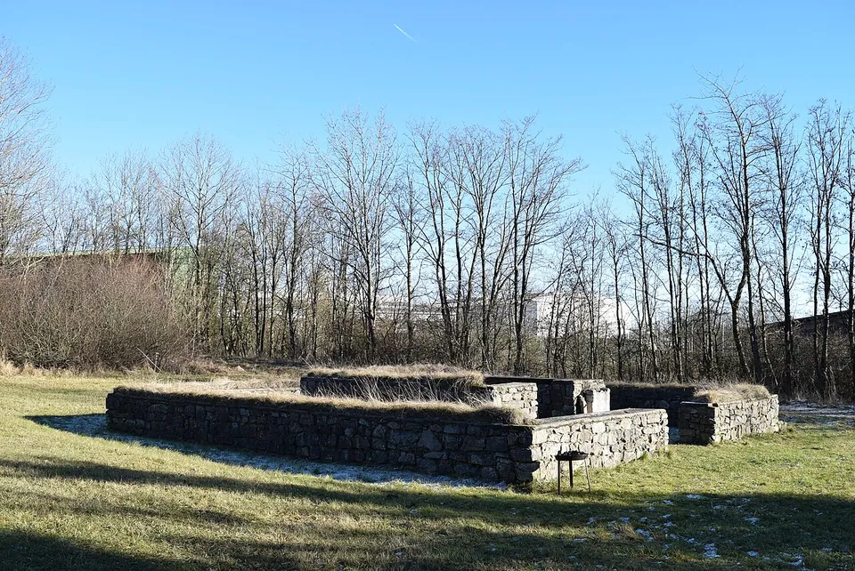
Photo: Marcin-Janek · CC BY-SA 4.0 · Commons
30 km · temple · North Rhine-Westphalia
Tempelheiligtum Zingsheim
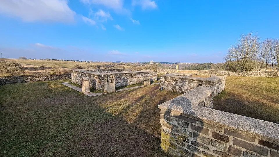
Two squares of grey rubble wall, one inside the other.


Straight-line distances.
Sources
Every fact on this page comes from the records below, each used under the licence noted.
| Source | Licence |
|---|---|
| Pleiades 109244 | CC BY |
| Wikidata Q105825426 | CC0 |
| OpenStreetMap way/31695180 | ODbL |
| Wikipedia (de) — Juddekirchhof | CC BY-SA 4.0 |
| KuLaDig — Römisches Heiligtum in Gerolstein (Benjamin Keul, Universität Koblenz-Landau, 2013) | licence not recorded |
| Vici.org — Judenkirchhof, Römischer Tempelbezirk, Pelm | licence not recorded |
| Tourist-Information Gerolstein — Keltisch-Römische Tempelanlage Juddekirchhof (archived copy of 14 October 2025) | licence not recorded |