

Kaiservilla Konz is what is left of a large late Roman villa near the mouth of the Saar, where it flows into the Moselle, about 9 km from Trier, and most probably the summer residence where the emperor Valentinian I signed laws in 371. Today it is a fragment: a few walls of stone and brick standing next to a modern parish church.
What is there today
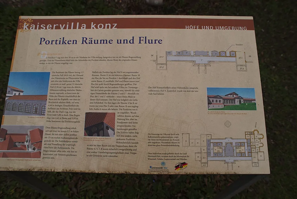
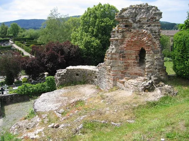
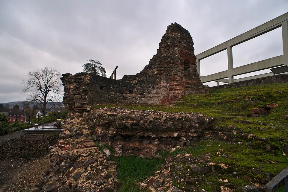
The piece the tourist board points to is part of a cold-water basin, about 4 m high. Around it, according to the information board on site, strips of light limestone mark the lines of the villa’s walls, rough red sandstone marks possible doorways, and walls that are modern additions carry a smooth red sandstone capping. A steel sculpture gives an idea of the original arcaded outer face of the portico. Several information boards from the Universität Trier explain the building, and the free ARGO app shows the palace at its original size in augmented reality on the spot (the tourist board).
Much of the building is gone. The remains were found in 1959 while the new church of St Nikolaus was being built, and a considerable part of what was uncovered was then destroyed when the church’s foundations were dug (de.wikipedia).
Is it worth the trip?
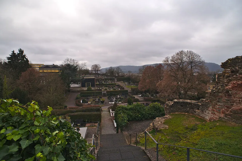
As a short stop, yes; as a destination on its own, no. Twenty minutes covers it, and what you see is a broken piece of wall and a plan on the ground rather than rooms. What makes it worth the stop is the story and the setting: this was a house for an emperor, set where its hall looked out over the mouth of the Saar.
It sits well with the rest of the area. The Igel Column, a Roman tomb monument, is 2.5 km away and Trier’s Roman buildings about 9 km, so the villa fits into a day spent on those. It costs nothing and has no opening hours.
Getting there
The ruins are on Martinstraße in Konz, beside the church of St Nikolaus (the tourist board). Free car parks are mapped close by, among them a surface car park with 23 spaces, and the bus stop Konz, Haus der Jugend is a short walk away (OpenStreetMap).
The site is freely accessible, with no ticket (Saar-Obermosel-Touristik, read 2 November 2026).
Visiting details
- Opening hours
- No opening hours; the tourist board lists the ruins as freely accessible.
- Tickets
- Free.
- Parking
- Free car parks are mapped near the ruins, among them a 23-space surface car park (way/33619158); the bus stop Konz, Haus der Jugend is a short walk away (OpenStreetMap).
Hours and prices checked 2 November 2026 on the operator's own site. Confirm before travelling.
History
The villa was built in the first half of the 4th century (de.wikipedia). Excavation found a block about 84 m long; published figures for its depth range from 28 m to 42 m. In the middle was a large hall with an apse, about 140 m², facing the mouth of the Saar; on either side, almost symmetrical wings of rooms were grouped around courtyards and ended in projecting corner blocks, and the fronts had porticoes (Universität Trier; de.wikipedia). The board at the site puts the length of the northern portico at over 50 m. Many rooms were heated by hypocausts, the walls were painted inside and out, remains of marble wall facing were found, and some floors were laid with marble slabs; the bath had been known since 1867 (de.wikipedia).
Its size and position led scholars early on to see it as an imperial residence, most probably Contionacum, where Valentinian I issued several decrees in 371 (Universität Trier); de.wikipedia also calls the identification probable rather than certain. On that reading, Valentinian spent the summers here and the rest of the year in Trier, and the poet Ausonius, who served at his court, wrote about the landscape around it in his poem Mosella (the tourist board; de.wikipedia). The villa was lived in until at least 388 (de.wikipedia). Ruins still stood here in the 17th century, when they were drawn (Universität Trier; de.wikipedia).
More photographs

Nearby
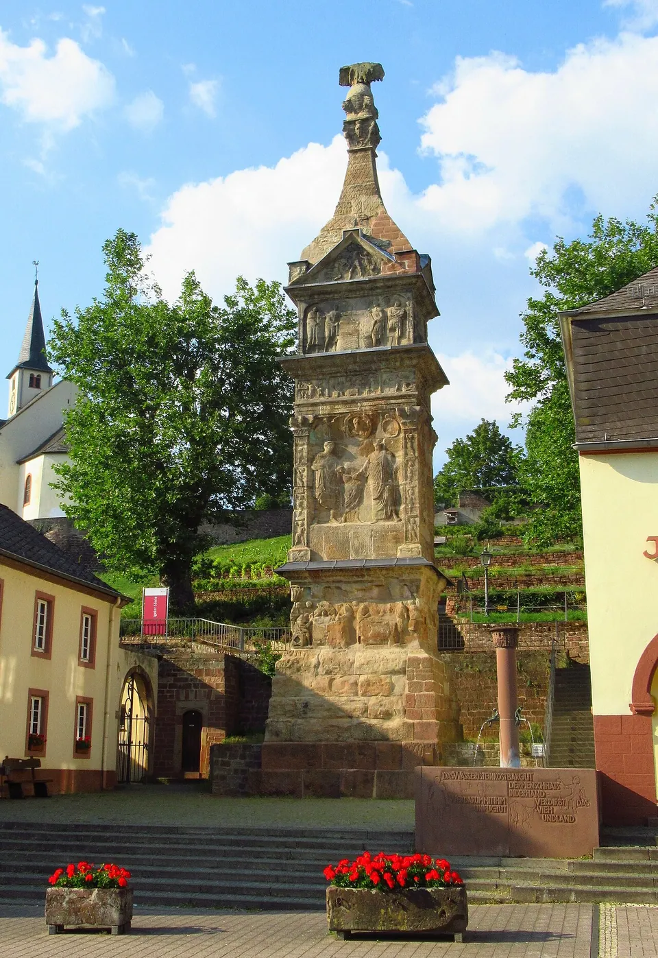
Photo: Dkvtig · CC BY-SA 4.0 · Commons
2 km · tomb · Rhineland-Palatinate
Igel Column
The monument itself, still standing where the Romans built it.
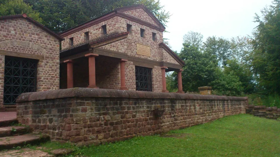
Photo: Ecemaml · CC BY-SA 3.0 · Commons
6 km · sanctuary · Rhineland-Palatinate
Roman temple of Tawern
Inside a walled precinct of about 46 × 36 m (de.wikipedia), the main temple has been rebuilt: a Gallo-Roman ambulatory temple with a portico on three sides, Tuscan columns, and a central chamber, the cella, rising above the portico roof.
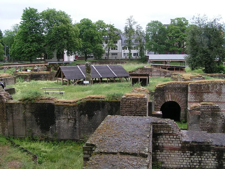
Photo: Stefan Kühn · CC BY-SA 3.0 · Commons
7 km · bath · Rhineland-Palatinate
Barbara Baths
This is an excavated ground plan, not a standing building.


Straight-line distances.
Sources
Every fact on this page comes from the records below, each used under the licence noted.
| Source | Licence |
|---|---|
| Pleiades 108904 | CC BY |
| Wikidata Q1721775 | CC0 |
| OpenStreetMap node/6051245420 | ODbL |
| Wikipedia (de) — Kaiservilla von Konz | CC BY-SA 4.0 |
| Universität Trier, Klassische Archäologie — Eine kaiserliche Residenz in Konz? | licence not recorded |
| Saar-Obermosel-Touristik (tourist board for Konz) — Röm. Kaiserpalast Konz, access | licence not recorded |
| Information board on site, "Portiken Räume und Flure" (Universität Trier), photographed on Commons | licence not recorded |