What is there today
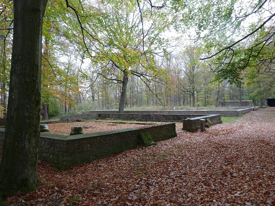
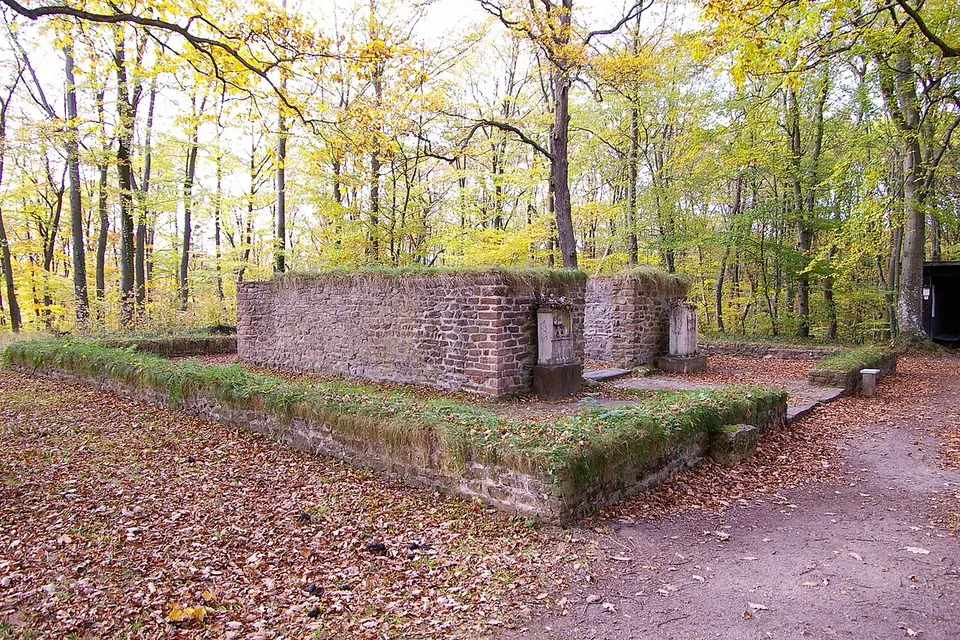
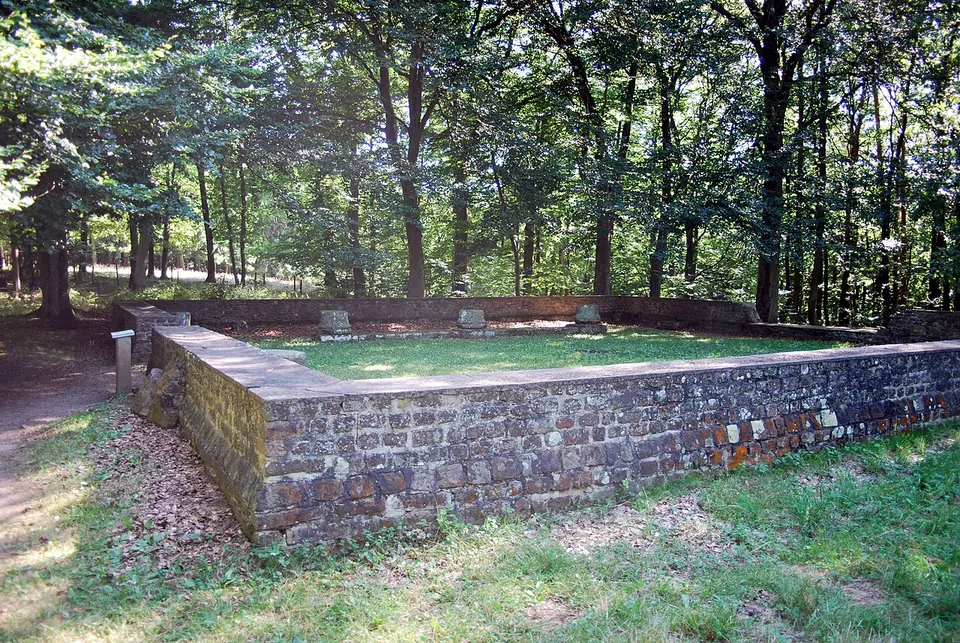
Be clear about what is original. The remains of the sanctuary’s last version survive only a few centimetres high; what stands today are walls built up one to two metres on top of them, to protect the remains and show the layout (de.wikipedia). The earlier phases and the parts that were built of timber are not reconstructed. So this is a conserved and partly rebuilt plan, not standing Roman masonry.
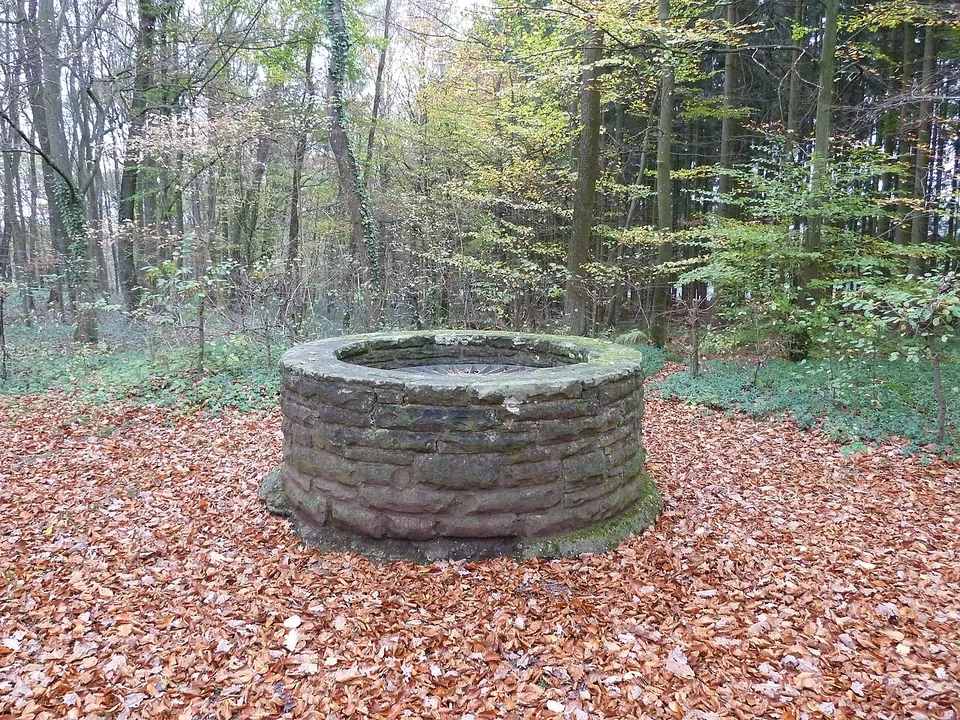
Three buildings of the fourth-century rebuilding can still be made out, in a row on the west side of what was a large open festival ground (KuLaDig, LVR). In the north is a Gallo-Roman ambulatory temple: a nearly square inner room, the cella, inside a low outer wall that once carried the columns of a covered walkway. South of it lies an open court where worshippers set up their altar stones, with small rooms either side of the entrance. Next to that, the most massive walls belong to a large assembly hall, divided into three aisles by rows of columns; column drums stand in it today (KuLaDig). A beech hedge traces the line of a 120 m timber portico that closed the festival ground on the east, and it encloses a well that had been there since the first century (KuLaDig).
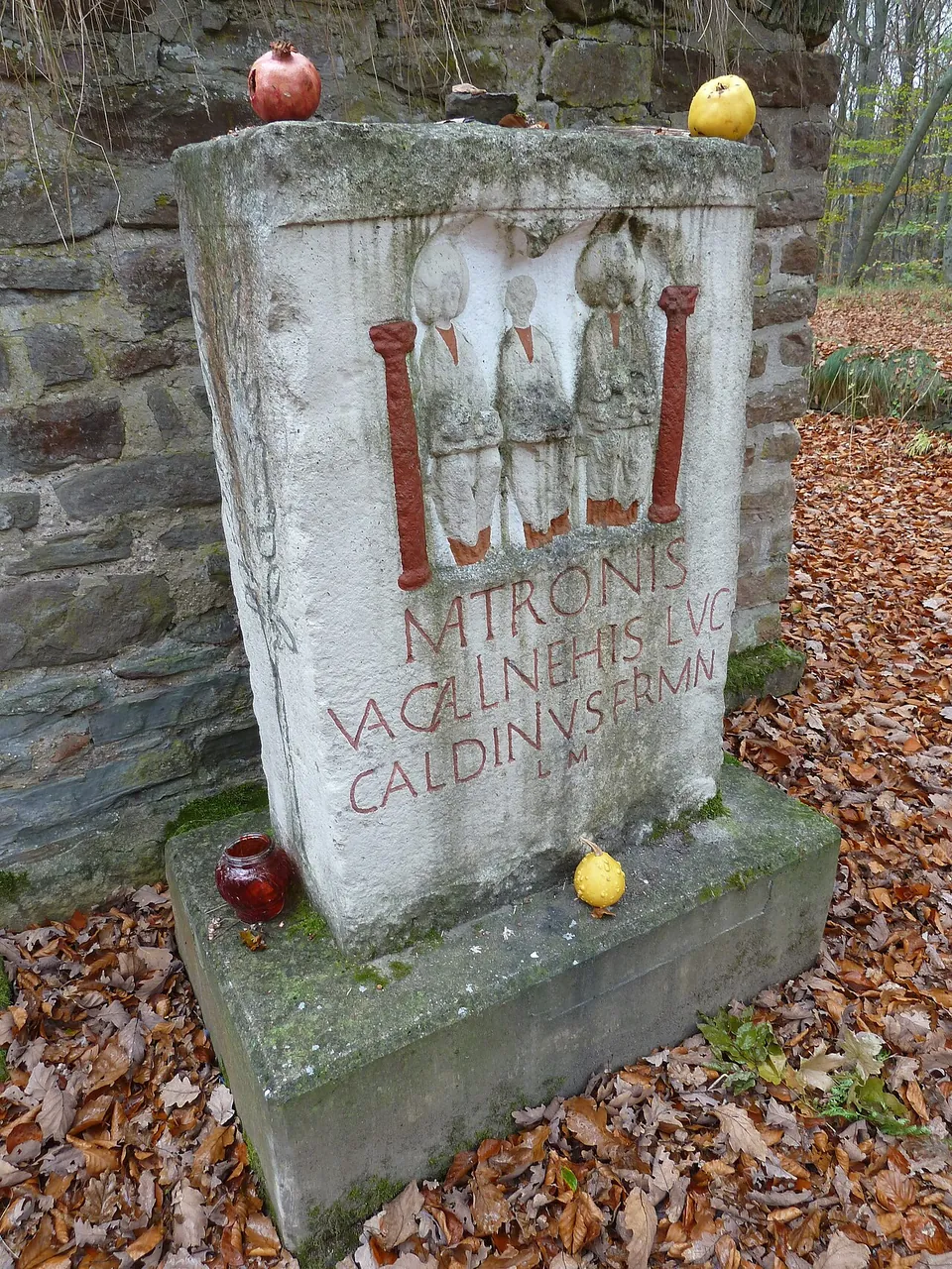
The altar stones set beside the buildings are casts, not originals (de.wikipedia). No complete stone showing the three seated goddesses survived here, so the carved ones on display copy stones from Nettersheim and Weyer; the others in the court, with inscriptions only, come from this site (KuLaDig, LVR).
Is it worth the trip?
Worth it as part of a walk in the Eifel; not worth a long drive on its own. Nothing stands more than about two metres high, and the walls are modern work on Roman lines. What it offers is a country sanctuary whose whole layout you can walk through in a few minutes, in woodland, with no published charge or opening hours. It counts among the best-preserved Roman cult sites in North Rhine-Westphalia (de.wikipedia) and among the most important archaeological monuments of the northern Eifel (KuLaDig).
Getting there
The precinct sits on the hill called Addig between Nöthen, a village of Bad Münstereifel, and Pesch, a village of Nettersheim (de.wikipedia), about 5 km in a straight line from the centre of Bad Münstereifel. A small car park lies about 220 m to the west-south-west, and footpaths are mapped right at the site (OpenStreetMap).
No opening hours or admission charge are published by any operator, and none is tagged in OpenStreetMap. Public transport is thin. The nearest mapped stop, Gilsdorf Tempelanlage, is about 450 m away on the L 206, and the local bus line 821 runs mostly as an on-demand TaxiBusPlus (de.wikipedia, Nöthen).
Visiting details
- Opening hours
- No opening hours are published. The precinct lies in woodland, with footpaths running to it.
- Tickets
- No charge is published, and OpenStreetMap tags no fee.
- Parking
- A small surface car park lies about 220 m west-south-west of the precinct (OSM way/106343428).
Before you go
- Public transport is thin. The nearest mapped stop, "Gilsdorf Tempelanlage" on the L 206 about 450 m away, is tagged for shared taxis, and the local VRS line 821 runs mostly as an on-demand TaxiBusPlus (de.wikipedia, Nöthen). Plan on a car or on walking in.
Hours and prices checked 30 October 2026. Confirm before travelling.
History
The sanctuary stood from the first century AD to the early fifth (de.wikipedia). Its goddesses were the Matronae Vacallinehae, and the inscriptions name no others (KuLaDig). They were probably the protectors of a group or clan called the Vacalli, who may have lived in a roadside settlement and on farms nearby (KuLaDig). Worship of the matrons, Celtic and Germanic mother goddesses, goes back before the Romans and probably began with trees; the stone image only came in under Rome (KuLaDig). de.wikipedia suggests the site began as a tree sanctuary.
The site was built in three phases (de.wikipedia). In the mid to later first century a fenced precinct held an enclosed cult place, two square temples and a storehouse. In the later second century the northern temple was replaced by a larger one, and an enclosing wall probably took the place of the fence. In the second quarter of the fourth century everything was pulled down, the ground levelled and the whole complex rebuilt on the same plan and alignment, larger and more regular: the 100 by 34 m precinct that is shown today. The builders reused broken altar stones and reddish sandstone architectural pieces from the older sanctuary, at a time when many people in the cities on the Rhine and Moselle were already turning to Christianity (KuLaDig). The assembly hall was probably the meeting house of a local men’s association devoted to Mercury (de.wikipedia). The sanctuary ended violently, in fire and destruction, in the fifth century at the latest (KuLaDig).
Forestry workers on the Addig kept turning up fragments of Roman stone monuments, which is why the place was already called the Heidentempel when Hans Lehner of Bonn began digging in spring 1913 (KuLaDig). Lehner and Joseph Hagen excavated until 1918, and the site was re-examined in 1962 (de.wikipedia). Close to three hundred fragments of inscriptions were found, mostly dedications by local people to the matrons, along with fragments of cult images of Jupiter and of Cybele (de.wikipedia).
More photographs
Nearby
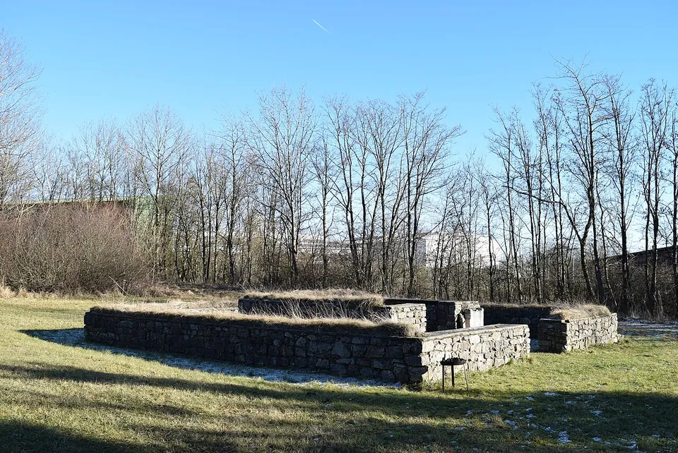
Photo: Marcin-Janek · CC BY-SA 4.0 · Commons
5 km · temple · North Rhine-Westphalia
Tempelheiligtum Zingsheim
Two squares of grey rubble wall, one inside the other.
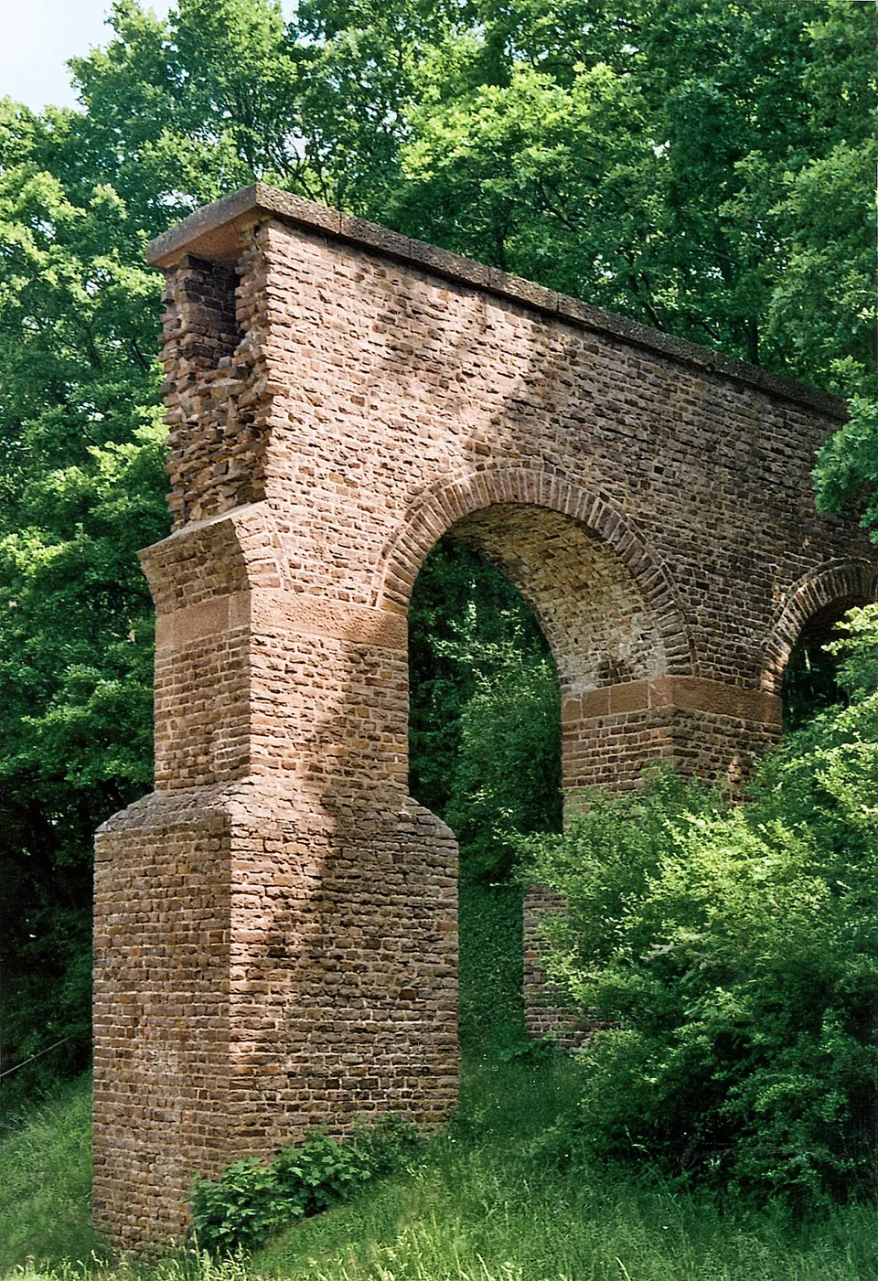
Photo: Mediatus · CC BY-SA 3.0 · Commons
7 km · aqueduct · North Rhine-Westphalia
Eifel Aqueduct
Very little of the aqueduct ever stood above ground, and most of what did was quarried away in the Middle Ages (de.wikipedia).
8 km · temple · North Rhine-Westphalia
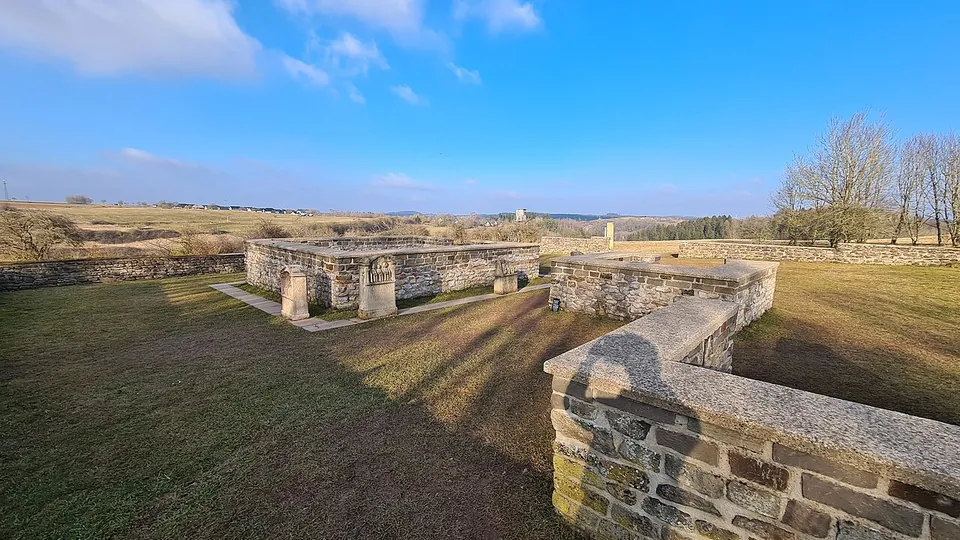
Görresburg
A low wall encloses a trapezoid of grass holding three small, almost square buildings, all facing east (KuLaDig, LVR; Eifel Tourismus).


Straight-line distances.
Sources
Every fact on this page comes from the records below, each used under the licence noted.
| Source | Licence |
|---|---|
| Pleiades 109214 | CC BY |
| Wikidata Q1408110 | CC0 |
| Vici.org 8205 | CC BY-SA (text), CC0 (metadata) |
| OpenStreetMap way/106411407 | ODbL |
| Wikipedia (de) — Tempelbezirk Pesch | CC BY-SA 4.0 |
| KuLaDig (LVR-Amt für Bodendenkmalpflege im Rheinland) — Römisches Matronenheiligtum „Heidentempel“ bei Nöthen | licence not recorded |
| Wikipedia (de) — Nöthen | CC BY-SA 4.0 |
| Wikidata — Nöthen (Q117231, the village the Pleiades record was first joined to) | licence not recorded |