What is there today
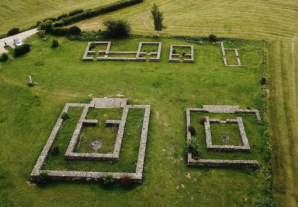
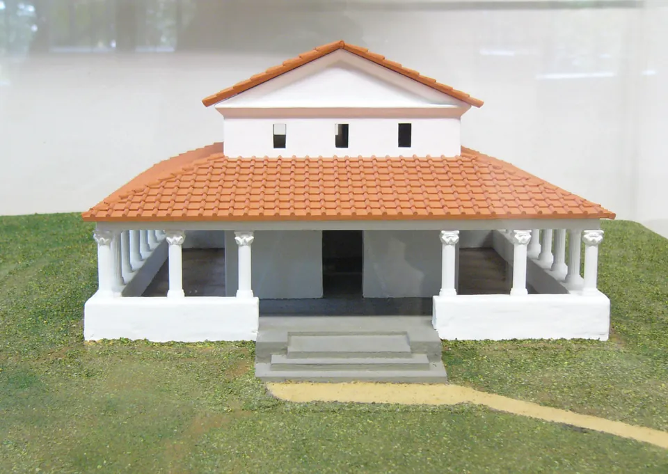
The foundations of the temples and several outbuildings were restored in 1989 and built back up to about a metre (de.wikipedia), so what you see is a set of ground plans in mown grass rather than standing ruins. The clearest is temple G, whose plan is complete except for its west wall: a central room inside a surrounding walkway, about 14.6 by 13.6 m overall. Beside it, the later version of temple F is laid out at about 19 by 17 m, hiding an older temple beneath it. Nearby you can make out the east wing of a storage building, the central part of another small building and the restored footings of a two-winged building with a portico that may have held votive offerings (de.wikipedia).
Much more lies unseen. Surveys of the soil suggest a precinct of at least 15 hectares, with an open square of at least 100 by 55 m between the temples and the southern buildings, probably for processions, and a village (vicus) to the north that has mostly not been excavated and does not show on the surface (de.wikipedia). An information board stands at the site (OpenStreetMap).
Is it worth the trip?
As a detour from Aachen or from Kornelimünster’s abbey, yes, if you like quiet places: it is free, always open, and a short walk from the village. Aachen’s own tourist service describes the remains as understated and the temples as visible only in outline, which is fair. Half an hour is plenty.
It is not worth a long journey on its own. Nothing stands higher than about a metre, and the finds of the early excavations (brooches, pins, coins and pottery) were lost in the Second World War (de.wikipedia). What the place gives you is a clear, uncluttered plan of a Gallo-Roman sanctuary in open country.
Getting there
The precinct lies about 700 m east of the Stephanskirche in Kornelimünster, on the plateau called Schildchen beside the road to Breinig (de.wikipedia; Stadt Aachen). A small free car park for about five cars is some 40 m from the remains (OpenStreetMap). By bus, the nearest mapped stop is Kornelimünster Venwegener Straße, about 500 m away in a straight line, with the stop in the village centre about 700 m away (OpenStreetMap); the tourist service says buses run there regularly.
It is open at all times and admission is free (aachen tourist service, read 30 October 2026). The paths are grass and earth tracks, and the site is not suitable for wheelchairs (OpenStreetMap).
Visiting details
- Opening hours
- Open at all times.
- Tickets
- Free.
- Parking
- A small free car park for about five cars, unsurfaced, about 40 m from the remains (OSM way/1494636313).
Before you go
- The nearest mapped bus stop, Kornelimünster Venwegener Straße, is about 500 m away in a straight line; the stop in the centre of Kornelimünster is about 700 m away.
- The ground is mown grass and grass tracks, and OpenStreetMap records the site as not wheelchair-accessible.
Hours and prices checked 30 October 2026 on the operator's own site. Confirm before travelling.
History
The precinct lay at the edge of a village, and the site’s foundation and first building period are dated before the turn of the era (de.wikipedia); the city of Aachen dates its origin to around the birth of Christ. Archaeologists divide the remains into four periods. A fire destroyed part of the complex at the end of the second, and the rebuilding that followed is dated by a sestertius struck under Vespasian; in the last phase a precinct wall with a gate about 3 m wide closed off the southern part. The finds show the sanctuary in use from the first century to the middle of the third (de.wikipedia).
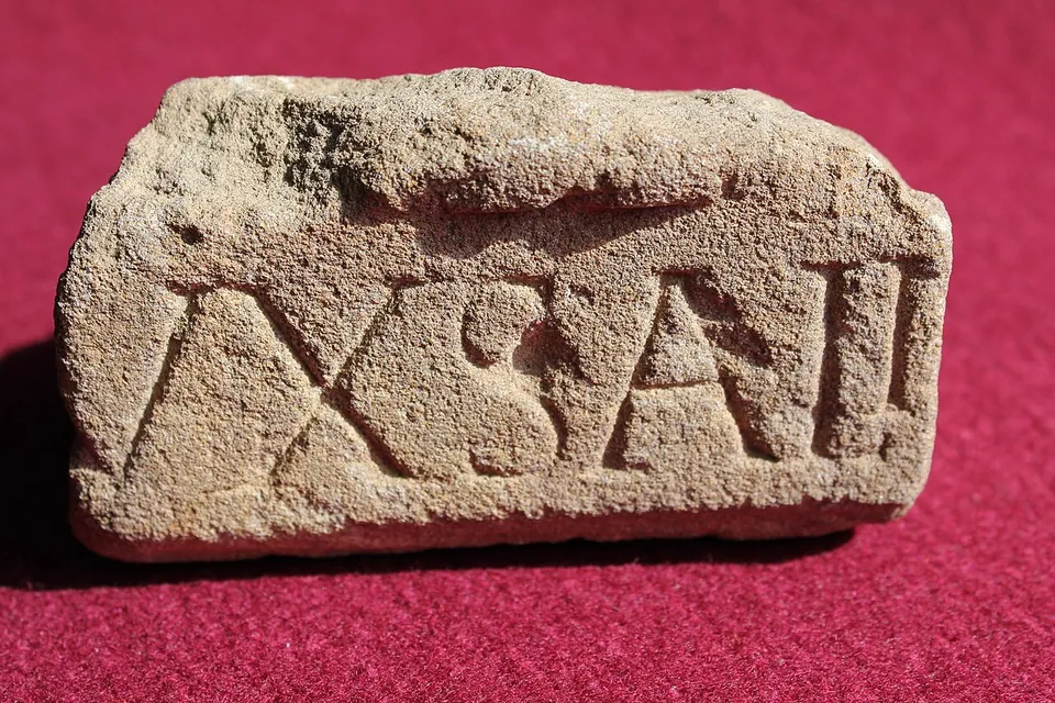
Whether the place was really called Varnenum in antiquity is assumed rather than proven. The name was given by its excavators after Varnenus, a god named, with the goddess Sunuxal, on three small bronze votive tablets found here; no inscription names the place itself. A fourth inscription, possibly the sanctuary’s building inscription, turned up during excavations in 1972, reused in the Stephanskirche in Kornelimünster (de.wikipedia). A road, traced from the air and by magnetometer, linked the precinct to Breinig, where calamine, a zinc ore, was mined at the time (de.wikipedia).
The first recorded excavations took place in 1907, 1911, 1923 and 1924, and another followed in 1986–87 after a magnetometer survey and a soil phosphate study by the University of Kiel that covered about 25 hectares. Geophysical surveys by the University of Cologne between 2016 and 2018 found an east–west street lined on its south side by four strip houses, suggesting a larger settlement than had been thought (de.wikipedia). The site belongs to the city of Aachen, is looked after by the Eifelverein Kornelimünster, and is a protected archaeological monument (de.wikipedia).
Nearby
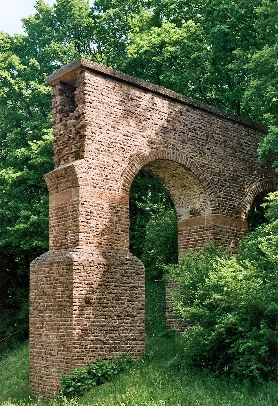
Photo: Mediatus · CC BY-SA 3.0 · Commons
38 km · aqueduct · North Rhine-Westphalia
Eifel Aqueduct
Very little of the aqueduct ever stood above ground, and most of what did was quarried away in the Middle Ages (de.wikipedia).
41 km · temple · North Rhine-Westphalia
Görresburg
A low wall encloses a trapezoid of grass holding three small, almost square buildings, all facing east (KuLaDig, LVR; Eifel Tourismus).
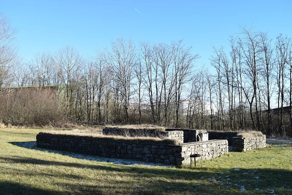
Photo: Marcin-Janek · CC BY-SA 4.0 · Commons
41 km · temple · North Rhine-Westphalia
Tempelheiligtum Zingsheim
Two squares of grey rubble wall, one inside the other.
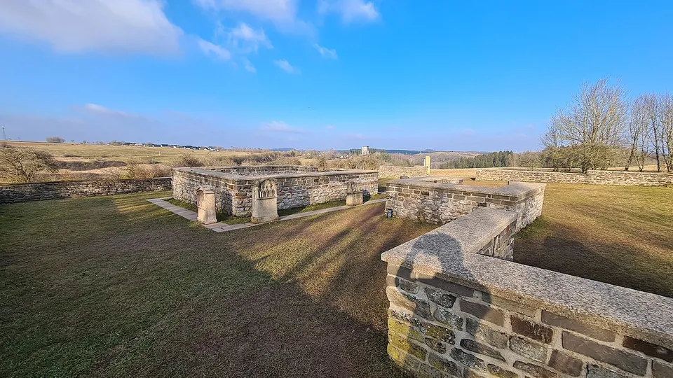


Straight-line distances.
Sources
Every fact on this page comes from the records below, each used under the licence noted.
| Source | Licence |
|---|---|
| Pleiades 109411 | CC BY |
| Wikidata Q151336 | CC0 |
| Vici.org 10018 | CC BY-SA (text), CC0 (metadata) |
| OpenStreetMap way/134647770 | ODbL |
| Wikipedia (de) — Varnenum | CC BY-SA 4.0 |
| aachen tourist service — Varnenum (hours and admission) | licence not recorded |
| Stadt Aachen — Kornelimünster/Walheim, Sehenswürdigkeiten | licence not recorded |