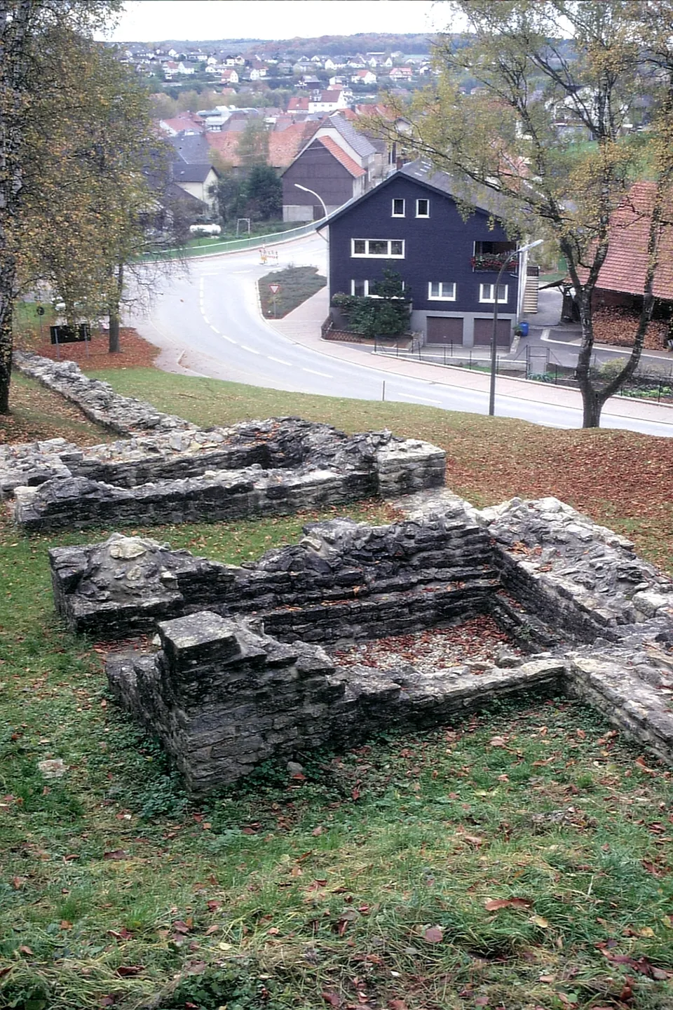
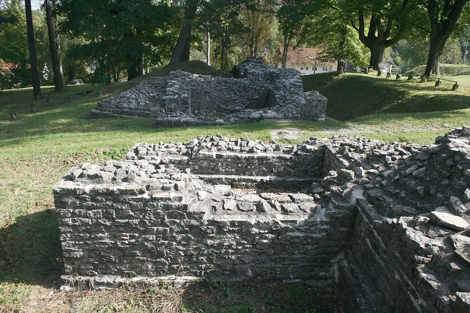


The Castra of Osterburken is the fort of a Roman garrison on the Limes, the frontier of the empire, in the small town of Osterburken in Baden-Württemberg. It was a double fort: a cohort fort in the valley, now built over, and an annex added later on the slope above it, whose low conserved walls and excavated ditches are laid out as a park (the museum) open to all (OpenStreetMap).
What is there today
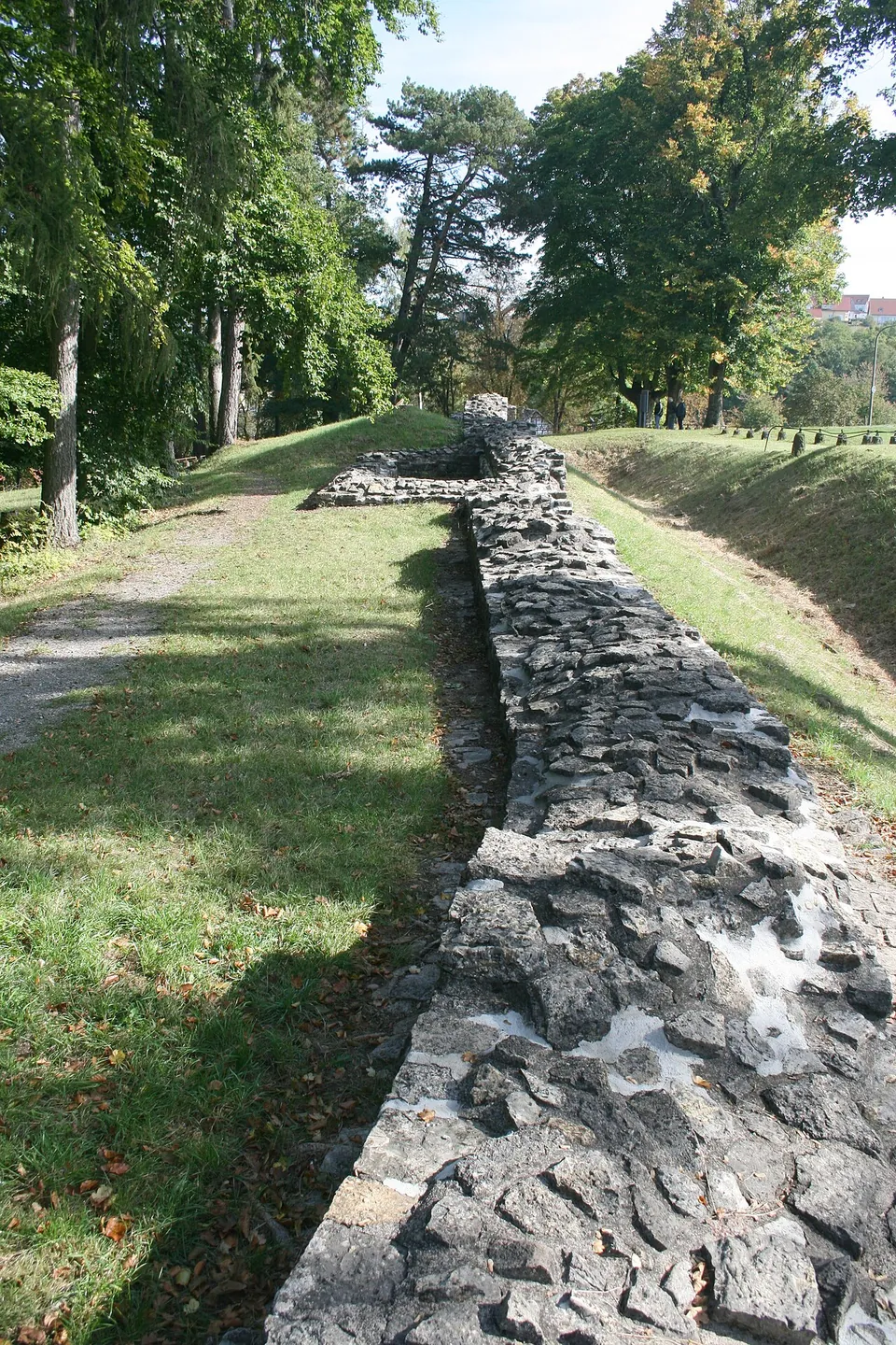
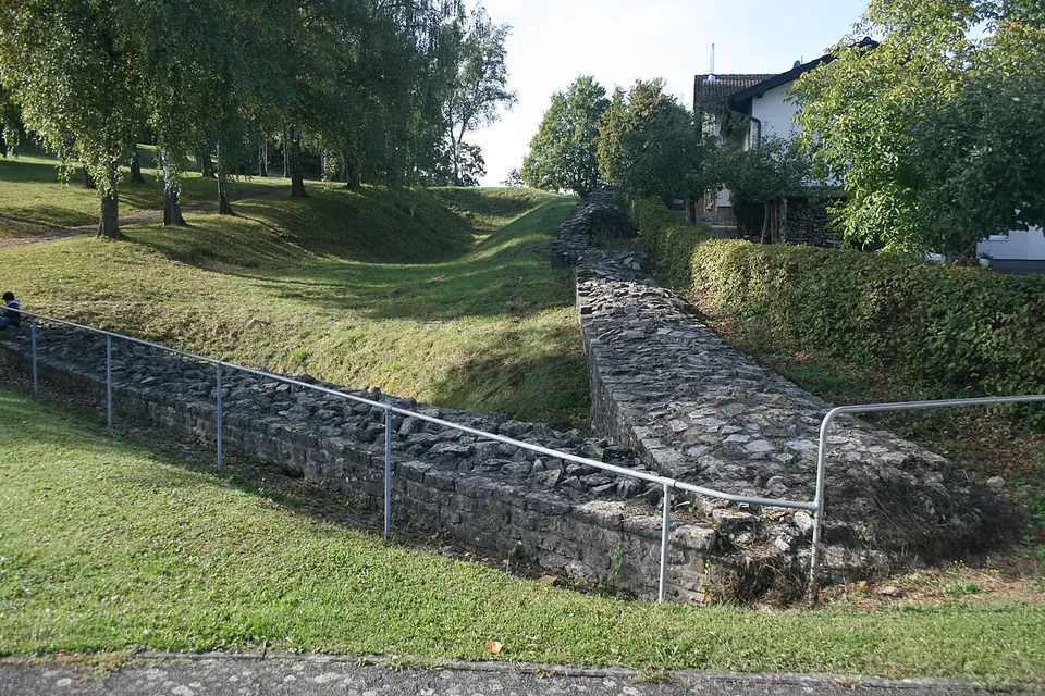
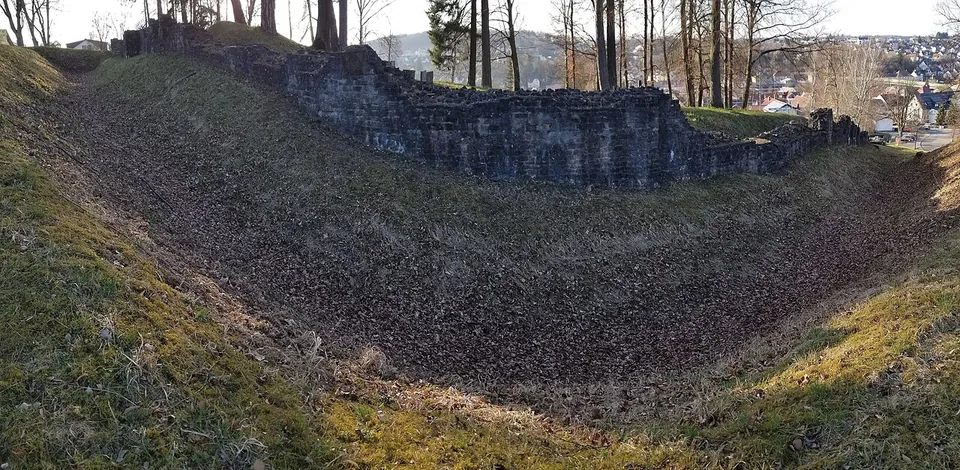
What you walk round is the annex. Its walls were uncovered between 1892 and 1910 and conserved, and its ditches dug out (the museum). They run across the hillside as low courses of grey stone, mapped at about 1.5 m high (OpenStreetMap), with the footings of gates and towers among them. The conservation was not a happy one: the tops of the walls were capped with concrete in the 19th century to stop stone robbing, though the plan itself was not rebuilt (OpenStreetMap), and Karl Schumacher of the Reich Limes Commission showed those responsible a series of mistakes in the work (de.wikipedia).
On the fort grounds stands an 8 m steel frame in the shape of a Roman gate (OpenStreetMap), a removable structure the museum’s director had put up in 2014 to give visitors an idea of the height and outline of such a gate (de.wikipedia). Information boards on the site explain the fort (OpenStreetMap).
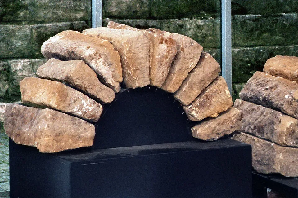
The larger cohort fort is not on show. In the 19th century it was released for building without major excavation, and Hagerstraße now roughly follows its main street from the north gate to the south gate (de.wikipedia). Finds from the fort, including the stones of an arched window, probably from one of the annex’s corner towers, are in the Römermuseum about 300 m away (de.wikipedia; the museum).
Is it worth the trip?
As part of a visit to Osterburken, yes. The museum itself calls the conserved walls and ditches an impressive picture of the size of the fort, it costs nothing, it has no published hours, and it is a short walk from the railway station; the museum’s group tours can include it. Expectations need setting, though: these are wall footings with a 19th-century concrete cap, not standing buildings, and only the smaller of the two forts is visible. It is not worth a journey on its own; with the museum, its bath building and the replica Limes tower south of the town it makes a half day (Osterburken has the rest).
Getting there
The fort lies on the southern slope of the Kirnau valley (de.wikipedia), about 300 m from the Römermuseum at Römerstraße 4 (the museum). Osterburken has a railway station, and its platforms are mapped about 200 m from the fort (OpenStreetMap); the museum says the town is reached by car via the A 81 or the B 292. OpenStreetMap maps a free car park with six spaces about 70 m from the fort, and the museum says there are several car parks around it.
The fort is a park with no published hours or charge. The museum states that the fort grounds are partly suitable for wheelchairs. The Römermuseum opens Tuesday to Sunday and on public holidays, 10.00 to 17.00 and until 18.00 while summer time is in force, closed on Mondays; a ticket is €4, €2 reduced, €10 for a family. Groups can book a two-hour tour of the museum, the bath and the fort for €40 plus admission (roemermuseum-osterburken.de, read 31 October 2026).
Visiting details
- Opening hours
- The fort is an open park; no opening hours are published for it. The Römermuseum, about 300 m away, opens Tuesday to Sunday and on public holidays 10.00–17.00, until 18.00 while summer time is in force, and is closed on Mondays.
- Tickets
- Free - the fort is laid out as a park and the operator lists no charge for it. The Römermuseum costs €4, reduced €2, family €10; a group tour of museum, bath and fort is €40 plus admission.
- Parking
- OpenStreetMap maps a free six-space car park about 70 m from the fort (way/262833531); the museum says there are several car parks around it.
Hours and prices checked 31 October 2026 on the operator's own site. Confirm before travelling.
History
The fort was built when the frontier was moved forward to the line known as the Vorderer Limes. When exactly is debated: the earliest dated timbers at Osterburken were felled in the winter of 159/160, others in 161 and 164, and whether soldiers were here some years before about 160 is an open question (de.wikipedia). The original fort was the stone cohort fort in the narrow valley of the Kirnau, about 500 m from the Limes: a rectangle of 186 × 115 m (2.14 ha) with rounded corners, four gates and towers at the corners, garrisoned by the Cohors III Aquitanorum equitata, a part-mounted cohort of Aquitanians. Its headquarters building measured 38.5 × 45.8 m (de.wikipedia).
The site in the valley was awkward to defend, because the southern slope rose high above it. Under the emperor Commodus, between 185 and 192 according to its building inscriptions, the Legio VIII Augusta from Argentoratum (Strasbourg) added the annex against the cohort fort’s south-east wall. It is an irregular trapezoid of 1.35 ha climbing the slope - the ground rises about 22 m from the cohort fort’s south-east gate to the annex’s - and its upper side gave added lines of sight to the Limes watchtowers. It had three gates, each with a single passage between two towers, and a wall 2.30-2.40 m wide at its foundations. It was probably built for a unit of Britons that had served beside the cohort at Neckarburken (de.wikipedia).
A hoard of 327 silver coins, the latest struck under Severus Alexander (222-235), was found in 1992 at the foot of the annex’s east wall, where it had been set into the older ditch; its date coincides with the first great Alamannic attack on the Limes in 233. The ditch between the two forts holds a final burnt layer and traces of fighting from the fall of the Limes in 259/260, and skeletons, weapons and a damaged helmet found there and at the annex point to a violent end in the middle of the 3rd century (de.wikipedia).
The site was known long before it was excavated: Karl Wilhelmi reported digging here in 1840, the Mannheim antiquarian society proved in 1867 that there were two forts, and the Reich Limes Commission investigated both in 1892-1893 (de.wikipedia). The fort is part of the Upper German-Raetian Limes, on UNESCO’s World Heritage list since 2005 (de.wikipedia).
More photographs



Nearby
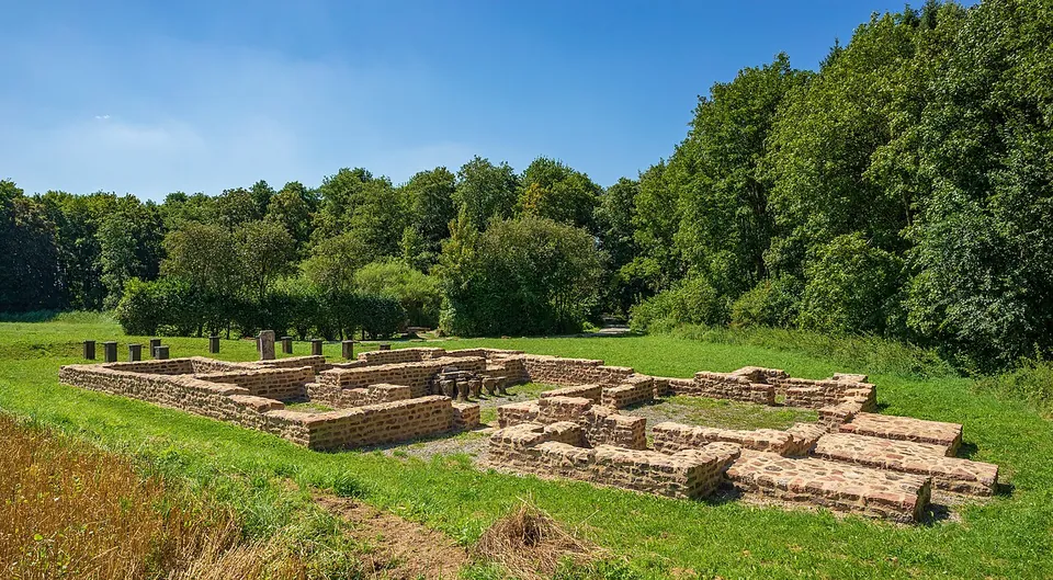
Photo: Roman Eisele · CC BY-SA 4.0 · Commons
17 km · fort · Baden-Württemberg
Castra of Walldürn
Be clear about this before you go: the fort itself has gone.
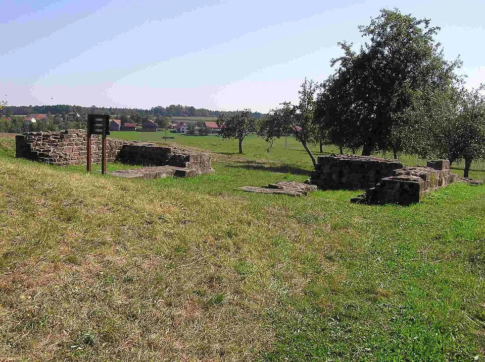
Photo: Schwing · Public domain · Commons
21 km · fort · Baden-Württemberg
Castra of Oberscheidental
The one built thing to look at is the south gate, the porta principalis dextra.
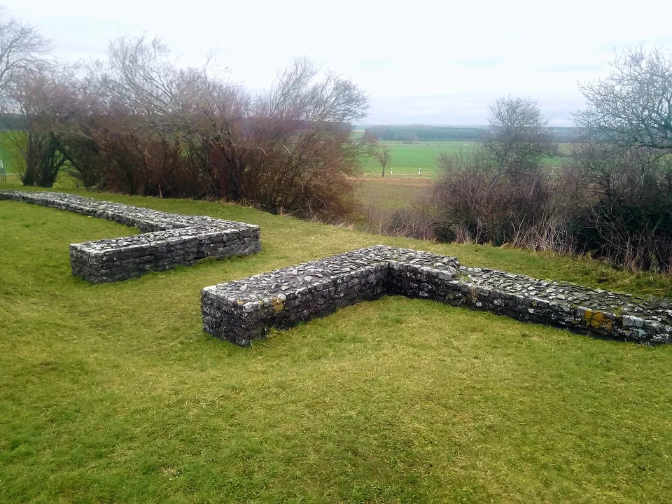
Photo: Granpar · CC BY-SA 4.0 · Commons
24 km · fort · Baden-Württemberg
Kleinkastell Haselburg
Kleinkastell Haselburg is the site of a small Roman fort on the Limes, the frontier of the empire, in open farmland between the villages of Reinhardsachsen and Gerolzahn near Walldürn.


Straight-line distances.
Sources
Every fact on this page comes from the records below, each used under the licence noted.
| Source | Licence |
|---|---|
| Wikidata Q1243550 | CC0 |
| Vici.org 4419 | CC BY-SA (text), CC0 (metadata) |
| OpenStreetMap way/92022433 | ODbL |
| Römermuseum Osterburken — Limespark, hours, admission and tours (the museum's own site) | licence not recorded |
| Wikipedia (de) — Kastell Osterburken | CC BY-SA 4.0 |
| Vici.org — Kastell Osterburken (4419) | licence not recorded |