What is there today
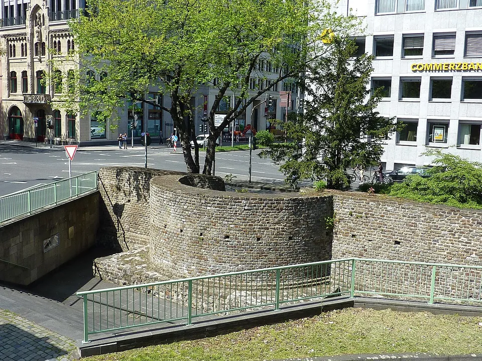
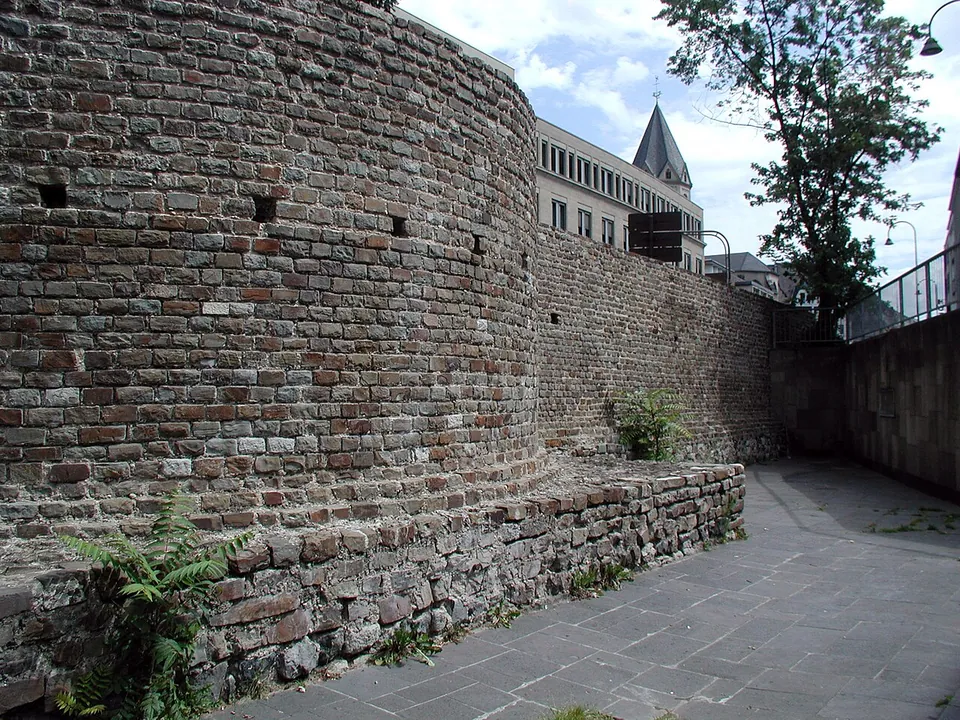
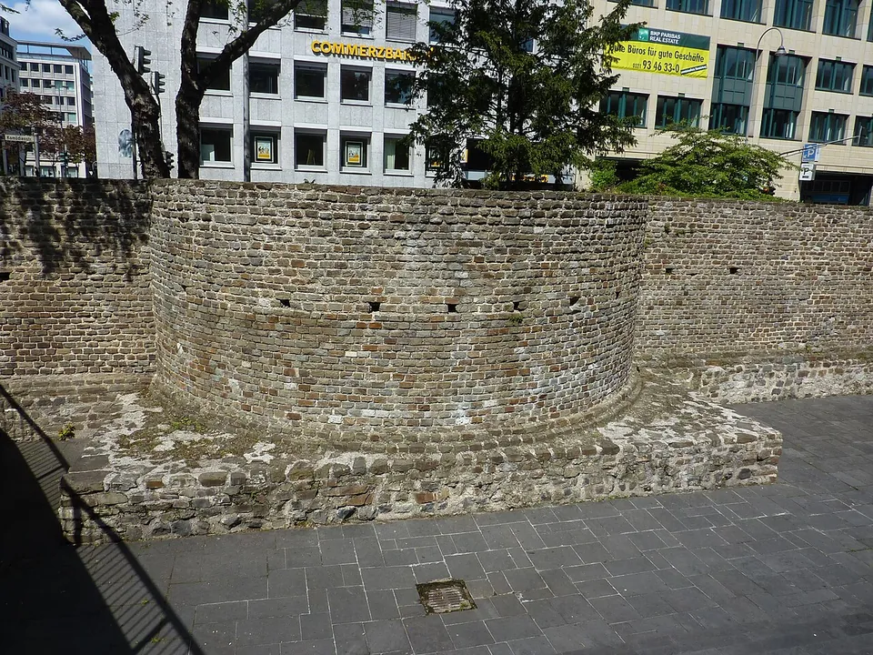
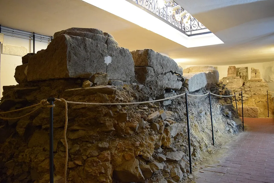
What survives is, in the words of the information board beside it, the inner curve of a defensive tower together with remains of the north wall of the Roman city (OpenStreetMap). The ruin lies below the level of the modern street, with a paved area at its foot and a flight of steps mapped beside it (OpenStreetMap; Commons photographs). The tower is built of small squared stones in regular courses over a footing of rougher blocks, and the wall runs on from it to the east. On the map that stretch of wall carries the local name “Sarg der Agrippina”, Agrippina’s coffin (OpenStreetMap). In the numbering of Otto Doppelfeld, a former director of the Römisch-Germanisches Museum, it is tower 5 (OpenStreetMap; roemermauer-koeln.de).
Is it worth the trip?
On its own, no: it is a low ruin on a traffic island, and five minutes is enough. It is worth those five minutes on a walk along the line of the north wall, which the modern streets still follow westwards along Trankgasse, Komödienstraße and Zeughausstraße or Burgmauer (de.wikipedia). From the side arch of the north gate beside the cathedral, the route passes a modern round staircase built on the foundations of another tower, then the Lysolphturm, the Römerbrunnen fountain, first built on the foundations of a tower and rebuilt slightly off them after war damage, fragments of wall in the front of the Zeughaus and a free-standing stretch with a plaque. It ends at the Römerturm on Zeughausstraße, the best-preserved part of the wall, still decorated with patterned stonework (de.wikipedia; KuLaDig). From the gate arch to the Römerturm is about 700 m (OpenStreetMap), and the Römerturm at the end is the reason to make the walk.
Getting there
The tower is about 450 m in a straight line from Köln Hauptbahnhof, and the bus stop Unter Sachsenhausen is about 50 m away (OpenStreetMap). No car park is mapped beside it, only bicycle stands. It stands in the open street, so there are no opening hours and nothing to pay; no operator publishes any.
Visiting details
- Opening hours
- Open-air, on a traffic island at the junction of Komödienstraße and Tunisstraße; no operator sets opening hours.
- Tickets
- Free: the ruin stands in the street, and no operator charges for it.
- Parking
- No car park is mapped beside it, only bicycle stands about 40 m away (OpenStreetMap). Köln Hauptbahnhof is about 450 m away.
History
Cologne was raised to a Roman colony in AD 50, and the wall round it was its largest building project: over 3.9 km long, enclosing about 97 hectares, with 19 towers spaced between 77 and 158 m apart and nine gates (de.wikipedia; the Förderverein Römische Stadtmauer Köln counts at least eleven). The towers followed one standard design, on foundation plates 9.80 m square, with masonry 1.20 to 1.30 m thick on the town side and 2.40 to 2.50 m on the field side; the highest tower height recorded is seven metres, 1.50 m of it foundation. About 80% of the stone of the wall outside the gates is greywacke, brought in by water from some distance, since there was no workable stone near the city (de.wikipedia).
Published dates for the wall differ. The board at the tower says shortly after AD 50; de.wikipedia says before 70, or around 90 according to more recent excavations, and adds that much of the masonry still standing comes from a building phase of the 3rd century; the Förderverein puts it at the end of the 1st century, probably when the city became the capital of the new province of Germania Inferior under Domitian (roemermauer-koeln.de).
The wall outlived Rome. It was still Cologne’s only defence in the 11th century and stayed in use until the city built a larger wall in 1180 (de.wikipedia). From the High Middle Ages many of its towers passed into the hands of city families, nobles and churchmen (roemermauer-koeln.de), and this one took the name Lysolphturm in the Middle Ages (the board; KoelnWiki).
Nearby
9 km · tomb · North Rhine-Westphalia
Römergrab Köln-Weiden
A flight of stairs takes you down to a doorway about six metres below ground and into a single vaulted room built of tuff stone, roughly 3.6 by 4.4 metres and 4 metres high under the vault.
45 km · fort · Rhineland-Palatinate
Rigomagus
The Römisches Museum occupies a 15th-century chapel on Kirchstraße.
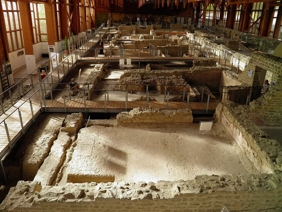
Photo: Carole Raddato from FRANKFURT, Germany · CC BY-SA 2.0 · Commons
46 km · villa · Rhineland-Palatinate
Römervilla von Bad Neuenahr-Ahrweiler
The house is 72 m long and 18 to 20 m deep (de.wikipedia), and walkways take you through and over its rooms.


Straight-line distances.
Sources
Every fact on this page comes from the records below, each used under the licence noted.
| Source | Licence |
|---|---|
| Wikidata Q108154289 | CC0 |
| Vici.org 370 | CC BY-SA (text), CC0 (metadata) |
| OpenStreetMap node/2286982628 | ODbL |
| Wikipedia (de) — Colonia Claudia Ara Agrippinensium (section "Stadtmauer") | CC BY-SA 4.0 |
| OpenStreetMap — information board "Römische Stadtmauer" at the tower (node/2286979722) | licence not recorded |
| OpenStreetMap — the adjoining stretch of the Roman wall (way/459379022) | licence not recorded |
| Förderverein Römische Stadtmauer Köln — the Roman city wall | licence not recorded |
| KoelnWiki — Das römische Köln (archived copy of 8 November 2025) | licence not recorded |
| KuLaDig (LVR) — Römerturm an der Zeughausstraße | licence not recorded |