Photo: VollwertBIT · CC BY-SA 2.5 · Commons
wall · North Rhine-Westphalia
Römerturm
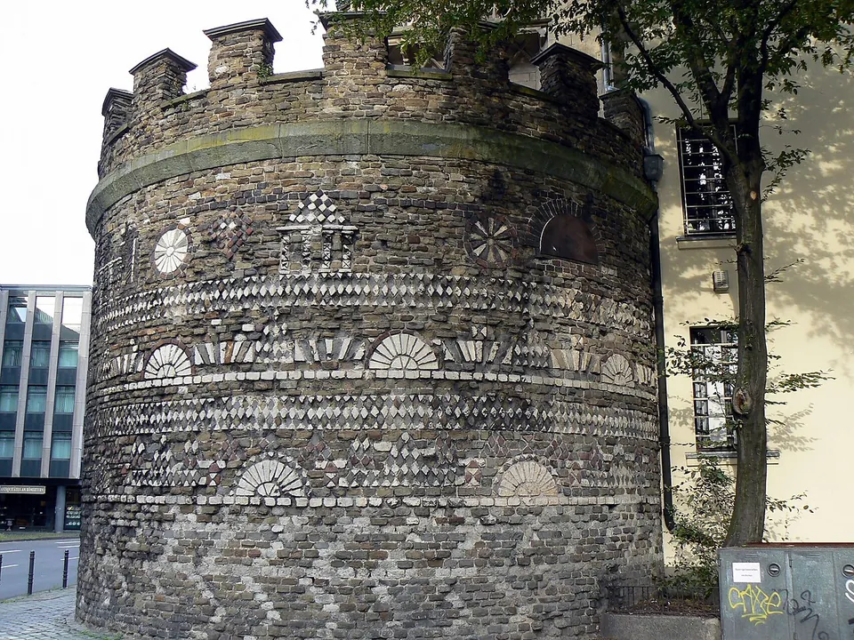
The tower stands on a street corner at Zeughausstraße 13 in the Altstadt-Nord district, where it marked the north-west corner of the Roman city.
Free
CCAA, Colonia Agrippina, Oppidum Ubiorum, Ara Ubiorum
city · North Rhine-Westphalia, Germany
4 places to see, the best preserved and best known first.
Photo: VollwertBIT · CC BY-SA 2.5 · Commons
wall · North Rhine-Westphalia
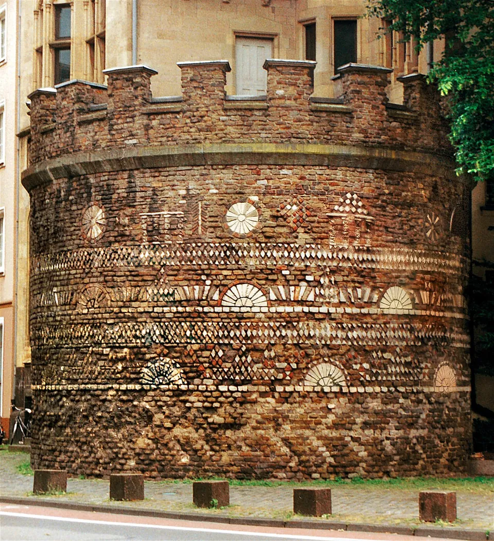
The tower stands on a street corner at Zeughausstraße 13 in the Altstadt-Nord district, where it marked the north-west corner of the Roman city.
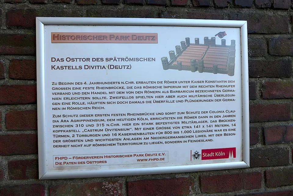
Photo: Velopilger · CC BY-SA 4.0 · Commons
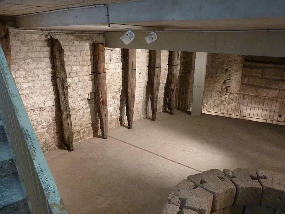
Photo: © 1971markus · CC BY-SA 3.0 de · Commons
wall · North Rhine-Westphalia
The tower is built of large blocks of tuff on a foundation of mortared rubble, and it still stands to a height of about 6.50 m, up to nine courses of dressed blocks; when it was built it was at least 12 m high (de.wikipedia; the operator).
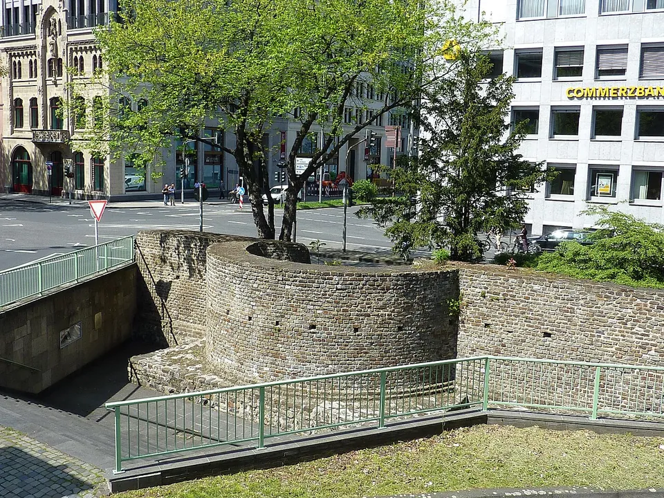
Photo: Chris06 · CC BY-SA 4.0 · Commons
wall · North Rhine-Westphalia
What survives is, in the words of the information board beside it, the inner curve of a defensive tower together with remains of the north wall of the Roman city (OpenStreetMap).
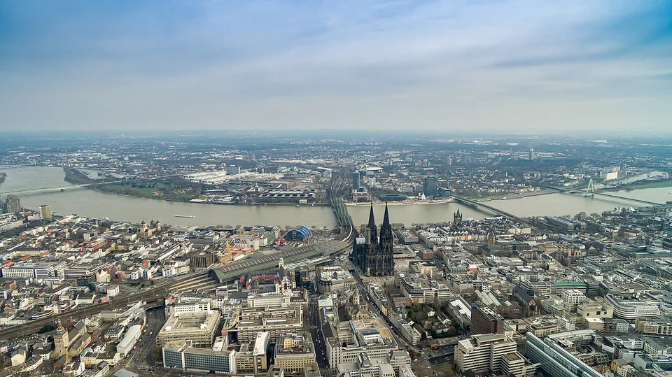
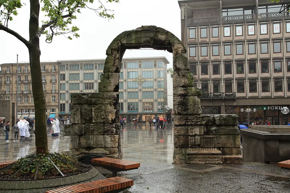
Cologne grew out of the town of the Ubii that the emperor Claudius raised to a Roman colony in AD 50 and named after his wife Agrippina, later the capital of the province of Germania Inferior (de.wikipedia). Its remains are scattered through the modern centre: towers and stretches of the city wall, an arch of the north gate, a stone tower whose foundation piles were felled in AD 4, the governor’s palace under the town hall and, across the Rhine, a late Roman fort.
The stops each have their own page; this is the outline of what the city holds.
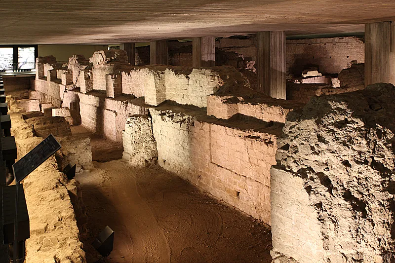
Under the town hall lie the foundations of the Praetorium, the palace of the provincial governor, the only building of its kind in the empire whose name, praetorium, is recorded in an inscription (de.wikipedia). It is part of the Lower German Limes World Heritage Site, inscribed in 2021, and is closed until the new MiQua museum around it opens (museen.koeln). The church of St Gereon is built round a late Roman central building whose Roman fabric, partly exposed, stands up to 16.50 m high (de.wikipedia).
If you are in Cologne, yes, for half a day, but not as a Roman city to rival Trier. What survives are fragments in the streets of a modern centre: the city has set metal markers at the main points along the course of the wall, and many streets still follow the Roman grid and the line of the wall (de.wikipedia). Of the forum, nothing is visible above ground (de.wikipedia).
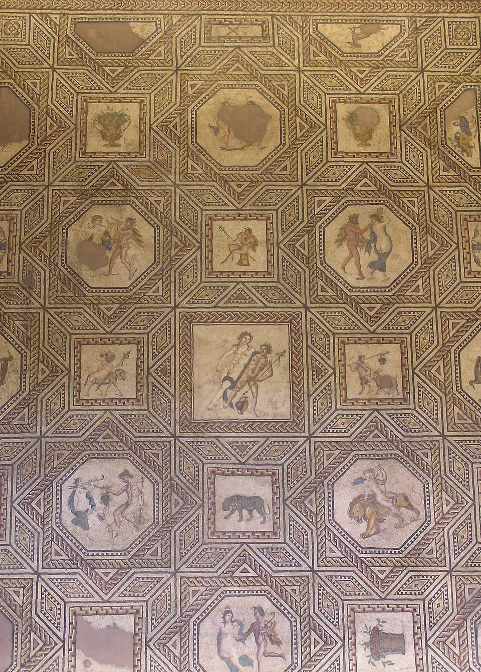
The timing is poor at the moment. The two strongest sights indoors, the Praetorium and the Dionysus mosaic, are both closed: the Praetorium until the MiQua museum opens, which the city expects at the end of December 2028, and the mosaic for as long as the museum building on Roncalliplatz is being renovated (stadt-koeln.de; the operator). Until then the museum’s collection is shown in the Belgisches Haus, the Ubiermonument opens three hours a month, and the wall towers can be seen from the street.
Cologne’s main station, Köln Hauptbahnhof, is a 5 to 10 minute walk from the Rathausplatz, and trams stop at Heumarkt and buses at Rathaus (museen.koeln). While its building on Roncalliplatz is renovated, the Römisch-Germanisches Museum is in the Belgisches Haus, Cäcilienstraße 46, near Neumarkt (the operator).
The museum opens Wednesday to Monday, 10.00 to 18.00, and is closed on Tuesdays; on the first Thursday of the month it stays open until 22.00, except on public holidays, and it is closed on 11 November 2026. A ticket is €6 for an adult and €3.50 reduced; school classes go free. The Ubiermonument opens on the first Thursday of every month from 14.00 to 17.00; the operator gives no separate price for it (roemisch-germanisches-museum.de, read 30 October 2026; check before travelling, since hours and prices move).
Before you go
Hours and prices checked 30 October 2026 on the operator's own site. Confirm before travelling.
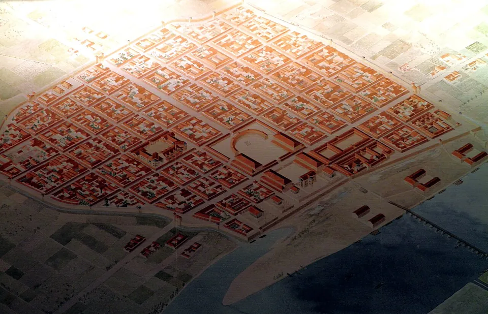
Agrippa resettled the Ubii, a Germanic people from the right bank of the Rhine, on the left bank, probably in 20/19 BC. Their new chief town, the oppidum Ubiorum, laid out on a Roman plan on a hill safe from floods, followed in the last years BC, and an altar, the Ara Ubiorum, soon stood in it. From AD 9 to about 30 two legions were stationed nearby, and Germanicus had his headquarters here. His daughter Agrippina was born in the town in AD 15, and in AD 50, as the wife of the emperor Claudius, she had it raised to a colonia and named after her. The full name is not recorded in any ancient source: Colonia Claudia Ara Agrippinensium is a modern expansion of the attested abbreviation CCAA (de.wikipedia).
The city was given a wall by 70, or around 90 by more recent findings, over 3.9 km long, with 19 towers and nine gates and enclosing 96–97 hectares; much of the masonry still standing dates from a 3rd-century phase. The Eifel aqueduct, about 95 km long, supplied it with water from the 1st to the 3rd century. In the civil war after Nero’s death in 68, the Rhine legions proclaimed their commander Vitellius emperor here. Around 85/90 Domitian made the military district into the province of Germania Inferior with Cologne as its capital, and from the 2nd century to the mid-3rd some 20,000 people lived in and around the city, about 15,000 of them inside the walls (de.wikipedia).
In 260 Postumus took Cologne and made it the seat of the breakaway Gallic Empire, which lasted until 274; around 271 its residence moved to Trier. Under Constantine, around 310, the first fixed bridge over the Rhine and the fort of Divitia were built. In 355 Franks besieged the city and held it for ten months, leaving it in ruins; rebuilding afterwards covered only what was most needed, and the last recorded building work dates from the winter of 392/393. In the 5th century Roman culture here came to an end and the city passed to the Rhine Franks. The Praetorium served the Merovingian kings as a palace until much of it slid towards the Rhine, probably in the second half of the 8th century (de.wikipedia).
9 km · tomb · North Rhine-Westphalia
A flight of stairs takes you down to a doorway about six metres below ground and into a single vaulted room built of tuff stone, roughly 3.6 by 4.4 metres and 4 metres high under the vault.
Photo: Marcin-Janek · CC BY 3.0 · Commons
44 km · fort · Rhineland-Palatinate
The Römisches Museum occupies a 15th-century chapel on Kirchstraße.
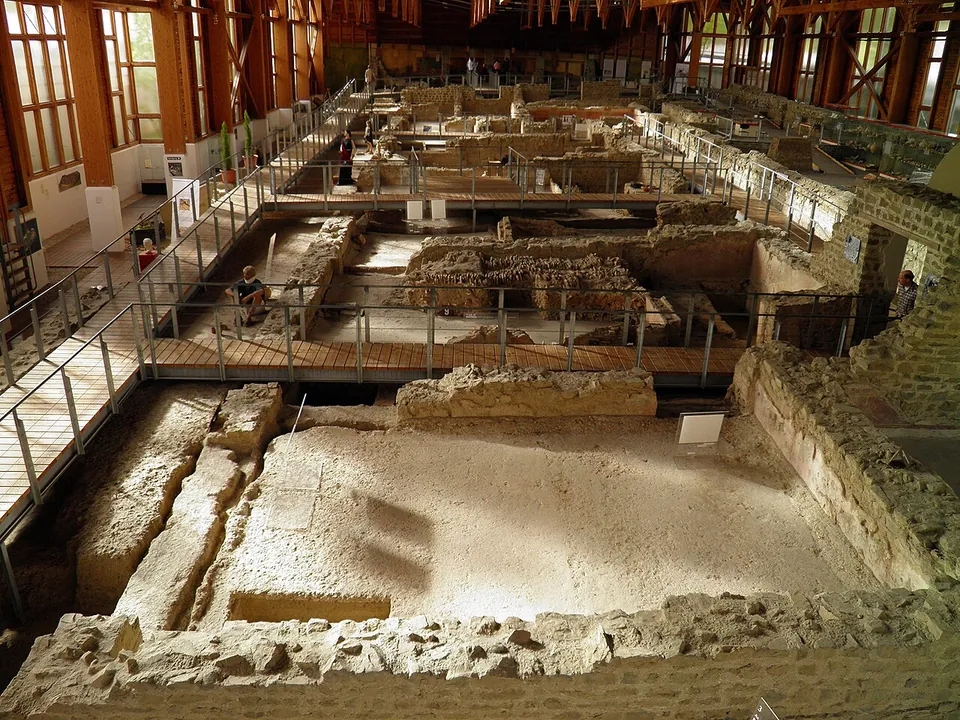
Photo: Carole Raddato from FRANKFURT, Germany · CC BY-SA 2.0 · Commons
45 km · villa · Rhineland-Palatinate
The house is 72 m long and 18 to 20 m deep (de.wikipedia), and walkways take you through and over its rooms.
Straight-line distances.
Every fact on this page comes from the records below, each used under the licence noted.