What is there today
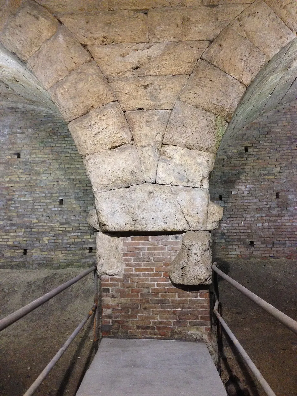
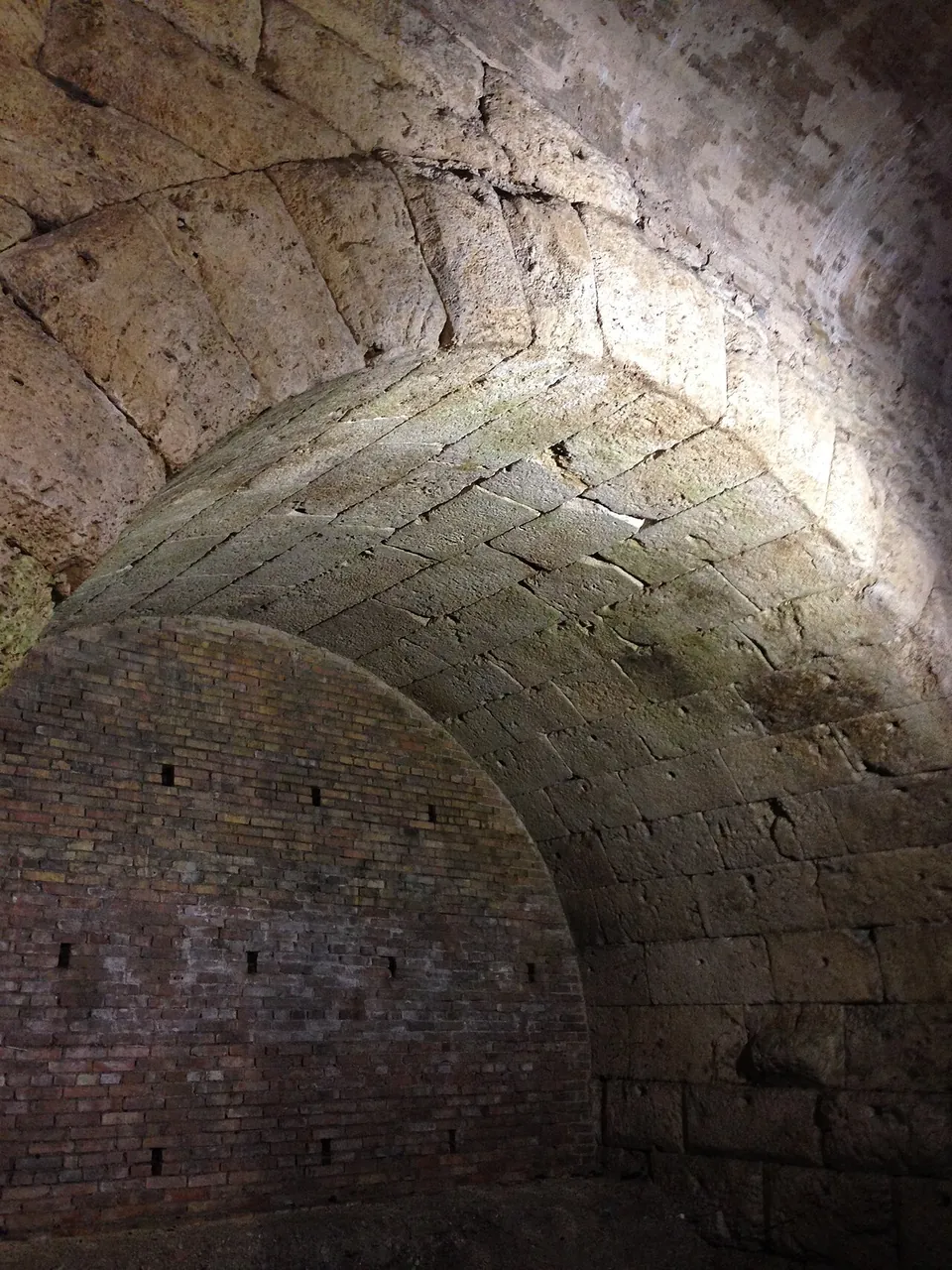
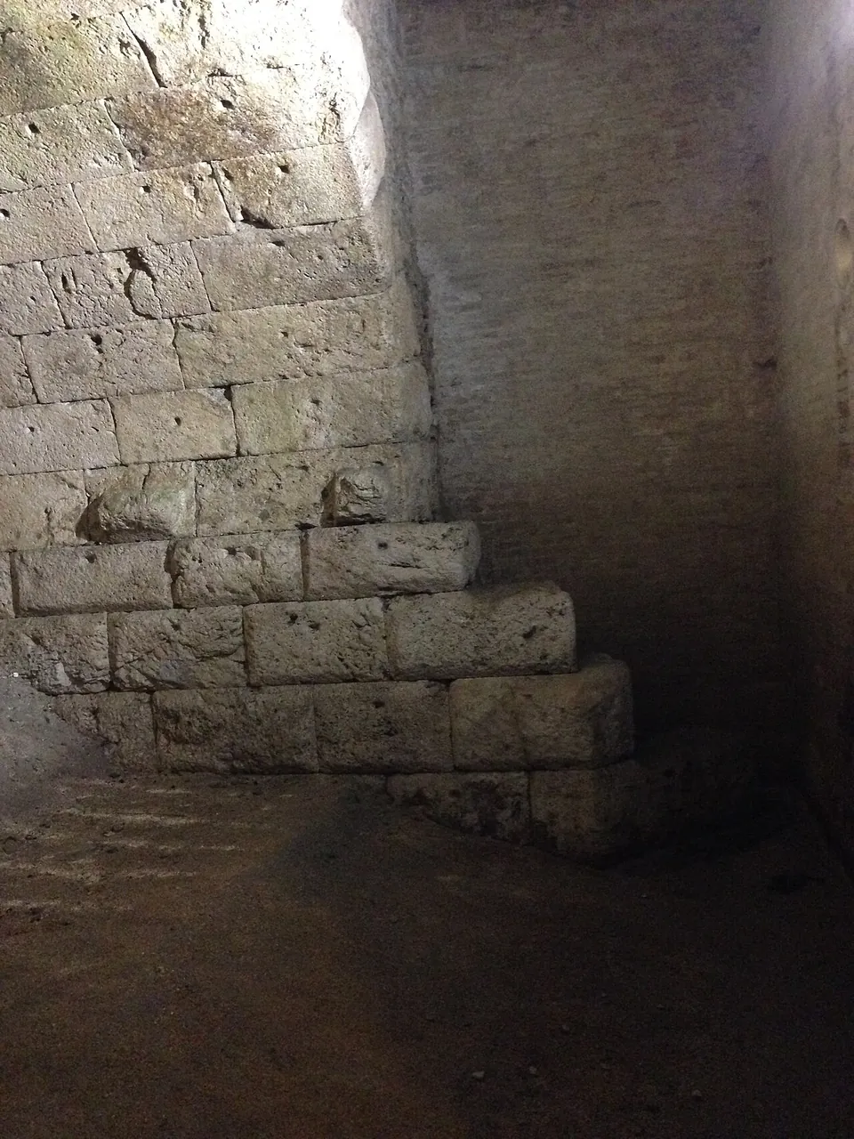
The bridge had three round arches and is about 24 m long, 4.5 m wide and 8 m high; one arch is still buried under the earth bank, and the old town gate of San Gregorio stood on top of it (it.wikipedia). What a visitor sees is the other two arches and the pier between them, from a platform in the basement, whose access was restored in 1993 (it.wikipedia; Commons photographs). The stream no longer flows through: the arches stand on an earth floor, and the far ends of the vaults are closed with brick walls (it.wikipedia; Commons photographs of 2014). The central pier holds a small channel that let water through, and the side piers are built in steps (it.wikipedia).
Is it worth the trip?
As a short stop on a visit to Spoleto, yes, if the gate is open: it is unusual to stand under the arches of a Roman road bridge that the street has risen over. The amphitheatre remains are 150–250 m away (it.wikipedia; OpenStreetMap), and the theatre, the arch and the Casa Romana are in the upper town, on the Spoletium – Spoleto page. On its own it is not worth a journey, and it is not a bridge you can see from outside: the whole thing is below the pavement.
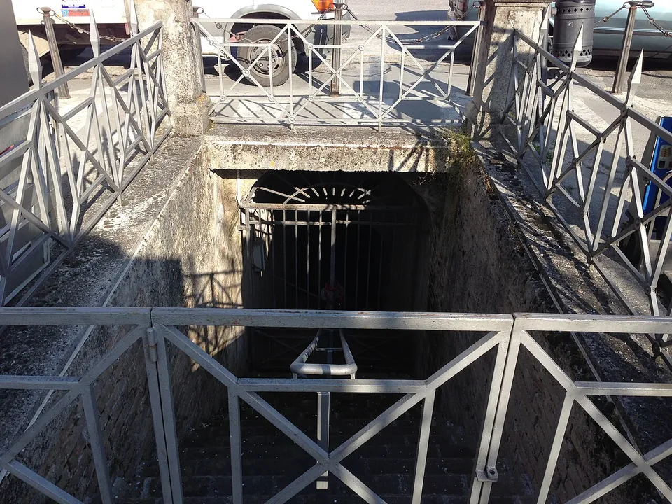
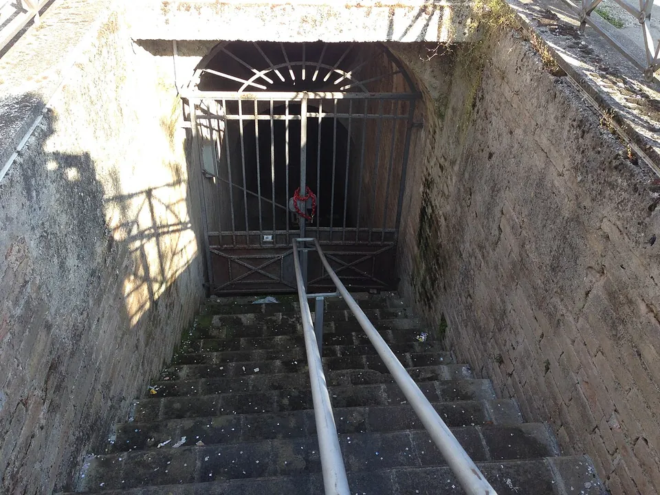
The catch is getting in. No operator publishes opening hours or a price. The Comune di Spoleto says that it can be visited, and its events page listed a free visit by booking in March 2026, but the stair ends at a gate, and the photographs of 2014 show it shut. Ask at the tourist office before planning around it. A €2.5 million restoration funded by the Region of Umbria is meant to add a new entrance, a visitor route and lighting and to restore the bridge, its third arch included, with the works due to finish by December 2030 (La Nazione, February 2025).
Getting there
The stairwell is in the eastern part of Piazza della Vittoria, a few metres from the Porta Leonina, which stands where the gate of San Gregorio used to be, and the basilica of San Gregorio Maggiore (it.wikipedia). An information board stands about 50 m away, and bus stops about 60 m away (OpenStreetMap). Drivers will find a paid car park about 35 m from the bridge and two more within 100 m (OpenStreetMap). The arch at the old forum, in the upper town, is about 770 m away in a straight line.
Visiting details
- Opening hours
- No opening hours are published. The stair down from Piazza della Vittoria ends at a gate, and the Comune di Spoleto says only that it can be visited.
- Tickets
- No admission charge is published. A visit the Comune listed in March 2026 was free, by booking.
- Parking
- A paid surface car park about 35 m from the bridge (OSM way/496752999), and two more within 100 m.
Before you go
- No operator publishes regular opening hours, so the gate may be locked when you arrive. Ask at the tourist office before making a special trip.
- The Comune and the Region of Umbria plan restoration works with a new entrance, to be finished by December 2030 (La Nazione, February 2025), so access may change while they run.
Hours and prices checked 23 October 2026 on the operator's own site. Confirm before travelling.
History
The date is not settled. Pleiades describes it as a late Republican to early imperial bridge, and the Comune dates it to the 1st century BC, probably before Augustus; it.wikipedia suggests it may belong to Augustus’s restoration of the neglected bridges of the Via Flaminia around 27 BC. It took the Flaminia over the Tessino, then a true river, and two roads left the town across it: a branch of the Flaminia and the old Via Pedemontana to Foligno (it.wikipedia). It was still in use in the Middle Ages (the Comune); Spoleto’s statutes of 1296 call it the ponte San Gregorio.
The river slowly moved its bed northwards; at the end of the 13th century it had to be led back under the bridge, and after that, left alone, it shifted again, until floods buried the bridge in silt and raised the ground around it (it.wikipedia). It came to light again in 1816–17, while the foundations of a new bridge over the Tessino were being dug nearby; published accounts give both years (it.wikipedia; the Comune). It was buried again within a few years, and around 1840 the painter Casimiro Pentozzi paid for one arch to be uncovered and drawn. A basement to protect it was built from 1848 and was soon flooded by seeping water (the Comune). In 1896, after the ground near the bridge subsided, the town closed its arches with a brick wall, although a local archaeologist tried to raise the money to avoid it, and a further campaign of work was completed in 1906 (it.wikipedia; the Comune).
The name “bloody bridge” is thought to be later than the bridge. Legend ties it to the executions of Christian martyrs, whose heads were said to have been thrown into the stream below; tradition has Spoleto’s patron saint, Pontianus, beheaded here. Other explanations derive it from the Porta Sandapilaria of the nearby amphitheatre or from the Sanguineto, a stream that joins the Tessino (it.wikipedia).
More photographs
Nearby
19 km · city · Umbria
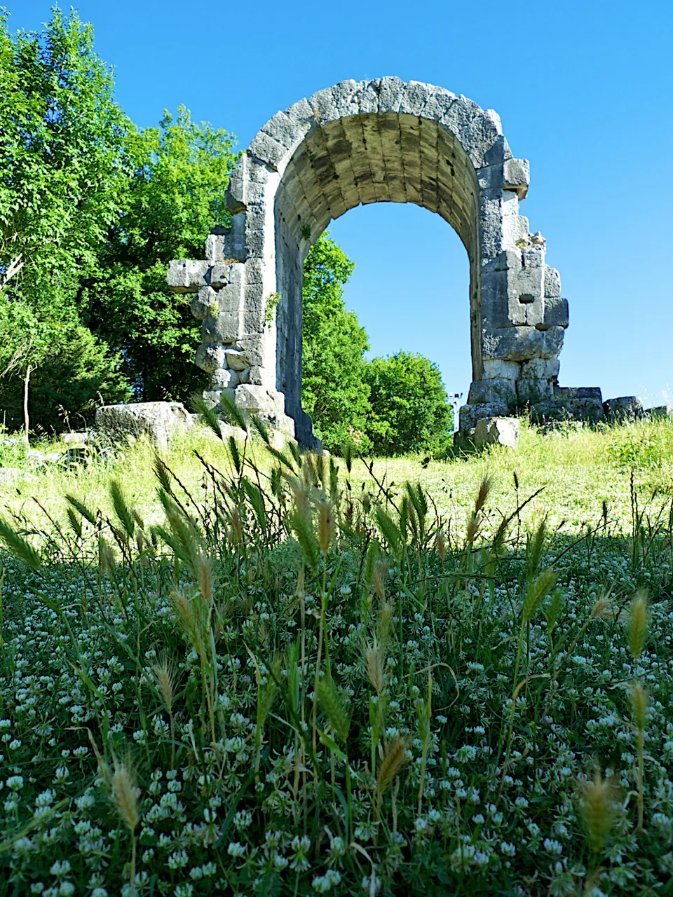
Carsulae
The ticketed area is a fenced expanse of meadow and trees of 22 hectares (it.wikipedia).
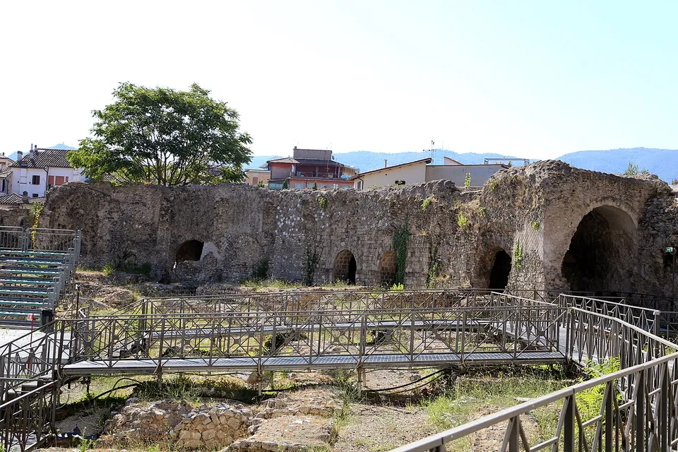
Photo: Sailko · CC BY-SA 4.0 · Commons
22 km · amphitheatre · Umbria
Anfiteatro Fausto
The oval is still easy to read on the ground, about 97.5 by 73 m overall (it.wikipedia).
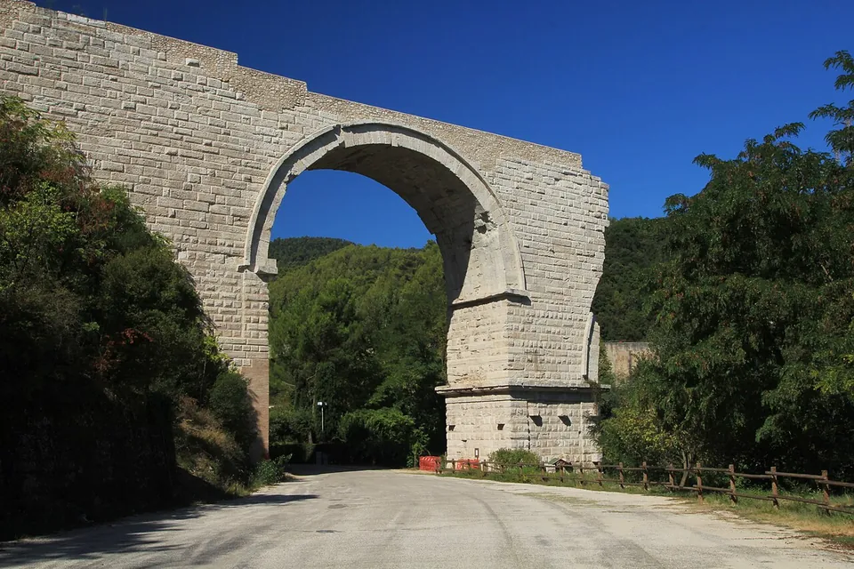
Photo: ImagoAnimae · CC BY-SA 3.0 · Commons


Straight-line distances.
Sources
Every fact on this page comes from the records below, each used under the licence noted.
| Source | Licence |
|---|---|
| Pleiades 91511819 | CC BY |
| Wikidata Q16591318 | CC0 |
| OpenStreetMap way/513348361 | ODbL |
| Wikipedia (it) — Ponte Sanguinario | CC BY-SA 4.0 |
| Comune di Spoleto — Accadde a Spoleto, il Ponte Sanguinario (2021; archived copy of 8 January 2023) | licence not recorded |
| Comune di Spoleto — Il Ponte Sanguinario, a visit and reading on 21 March 2026 | licence not recorded |
| La Nazione — Ponte Sanguinario. Nuovo look entro il 2030 | licence not recorded |