

What is there today
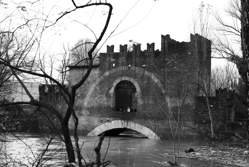
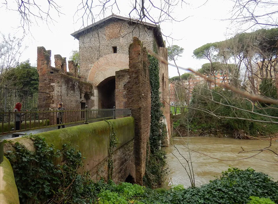
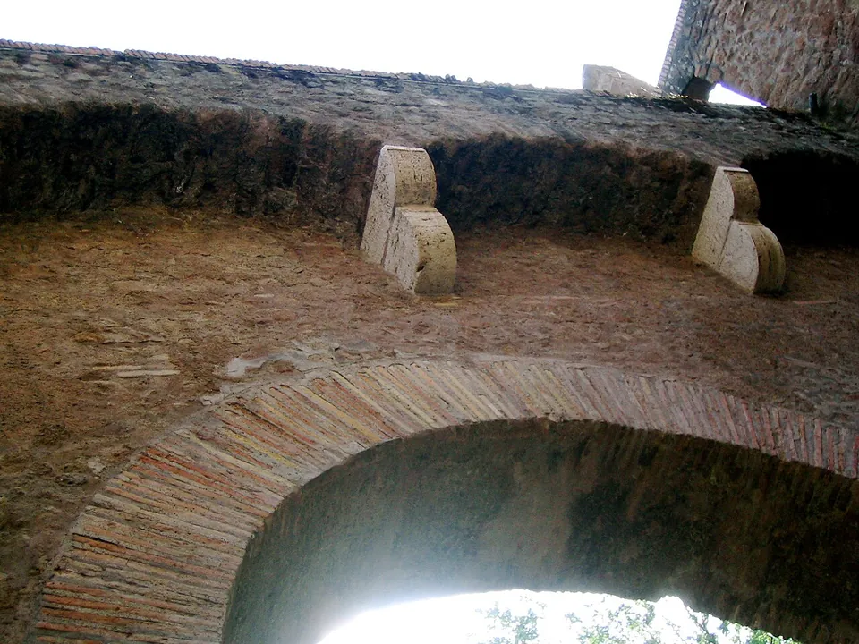
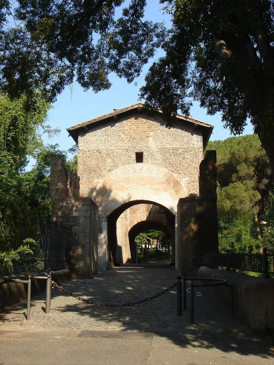
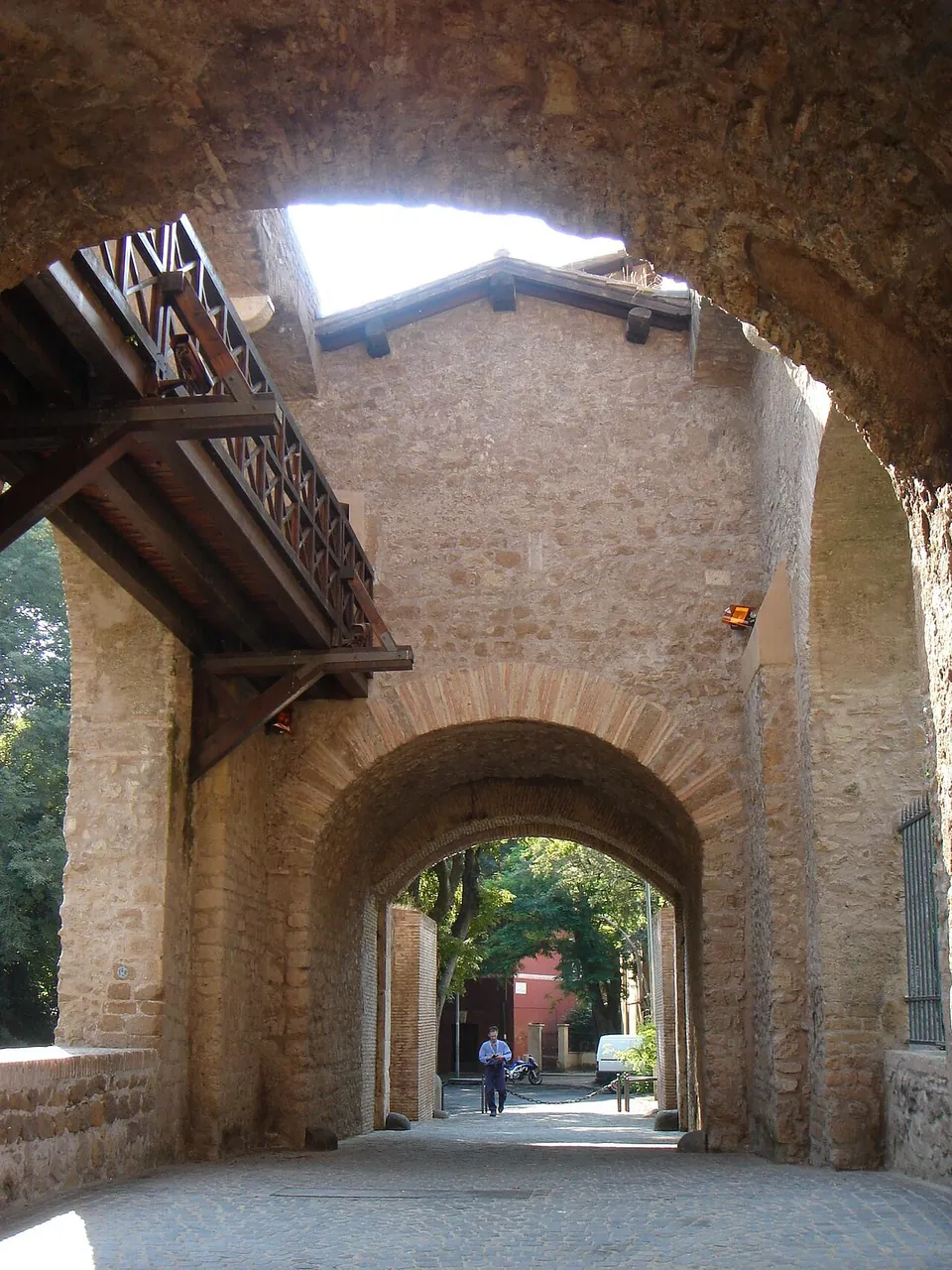
The bridge is about 60 m long and 7.35 m wide, dimensions that have stayed practically unchanged since antiquity (en.wikipedia). The Roman part is the great arch over the river, about 15 m across, faced with travertine blocks; the original bridge had two such arches, and only the one on the Monte Sacro side survives (the Sovrintendenza). Sitting on top of it is the castle-like block with battlements, built in the works of Pope Nicholas V in the mid-15th century, whose papal coat of arms is still on the downstream entrance front; one of the crenellated guard towers that protected the gates also survives (the Sovrintendenza). Small side arches carry the approach ramps on each bank; published dates for them differ, from the 8th century (the Sovrintendenza) to the reign of Innocent X in the 17th (en.wikipedia). In September 2026 the wooden walkway between the two towers on top of the bridge was restored (Turismo Roma).
The roadway runs through the fortification as a footpath, and the bridge stands in the Valle dell’Aniene park along the river (de.wikipedia). The interior rooms are not regularly open; it.wikipedia says they are opened to the public only occasionally.
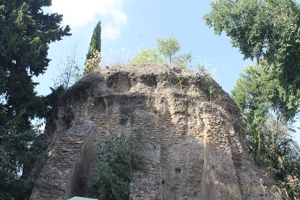
About 200 m away on the Via Nomentana stands the so-called Mausoleum of Menenius Agrippa, a round Roman tomb of the 1st–2nd century AD on a rectangular base, built of mortar and yellow tuff. Its burial chamber has four niches under a vault made with fragments of amphorae, but the entrance was later closed, so the tomb is seen from outside. The name is a later attribution: Menenius Agrippa lived some six centuries before it was built, and the tomb was linked with him because it stands near the hill of Monte Sacro (it.wikipedia).
Is it worth the trip?
If you like Roman engineering or the Rome that 18th- and 19th-century painters drew, yes, for an hour. It is one of the few pedestrian bridges in Rome (it.wikipedia), so you can walk over a Roman arch and through the medieval defences built on it, and it costs nothing. Be clear about what is Roman, though: one arch and some courses of masonry, under a building that is mostly medieval and later (en.wikipedia). It lies about 6 km from the city centre (OpenStreetMap), so it suits a second or third visit to Rome better than a first. Santa Costanza and Sant’Agnese fuori le mura are on the same road, about 1.7 km closer to the centre.
Getting there
The bridge is on the Via Nomentana in the Monte Sacro district, about 3.9 km beyond the Porta Nomentana in the Aurelian Walls (en.wikipedia). Public transport stops are mapped about 140 m away (Monte Sacro) and 170 m away (Nomentana/Val d’Ossola), and there are a few free street-side parking spaces about 200 m from the bridge (OpenStreetMap).
There is no ticket and no published timetable: the Sovrintendenza Capitolina, the City of Rome’s heritage department, lists the bridge simply as visible from the outside (read 23 October 2026).
Visiting details
- Opening hours
- The operator lists it as a monument visible from the outside and publishes no opening hours. The roadway through it is a pedestrian path; the rooms inside are not regularly open.
- Tickets
- No ticket. The operator publishes no charge, and the bridge carries a public footpath.
- Parking
- Free street-side parking about 200 m from the bridge, only a few spaces (OSM way/1557839905 and way/1557839906).
Before you go
- The interior of the towers is not open on a normal visit; the operator's page says only that the bridge is visible from the outside.
Hours and prices checked 23 October 2026 on the operator's own site. Confirm before travelling.
History
The bridge was built where the Via Nomentana crossed the Aniene at the foot of Monte Sacro, a crossing used by migrating herds since ancient times; its materials and building technique date the original bridge to the late 2nd or early 1st century BC (the Sovrintendenza). Its arch faces are of travertine blocks, the underside of the arch of Gabii stone (pietra gabina), and the piers were of red tuff blocks, a few of which survive (the Sovrintendenza).
The historian Procopius records that the Ostrogoths under Totila destroyed it around 547 during the Gothic War and that the general Narses had it rebuilt in 552, though the surviving late-Republican arch suggests it may have been only partly damaged (en.wikipedia). The Sovrintendenza attributes the brick facing on the downstream side to that 6th-century repair.
Tradition holds that Pope Leo III met Charlemagne on the bridge in 800 (Turismo Roma). The lower part of the tower is attributed, by an unproven tradition, to Pope Adrian I (772–795); the castle structure belongs to Nicholas V (1447–1455), with further repairs in 1461, 1470 and 1474 (en.wikipedia). In 1849 French troops cut a 7 m gap in the bridge to check Garibaldi’s advance on Rome, and it was later repaired (en.wikipedia, it.wikipedia). It was the obligatory road between Rome and the districts to the north until the nearby Ponte Tazio was built in 1924; fears for the structure closed it to cars in 1997, and it was restored in 2002 (it.wikipedia).
More photographs



Nearby
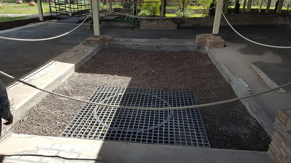
Photo: MumblerJamie · CC BY-SA 2.0 · Commons
8 km · villa · Lazio
Villa of Livia
The operator describes the private wing with the bedrooms of Livia and the emperor, an atrium and a small inner garden, and the large reception rooms that open onto a peristyle; the rooms once had painted walls and floors of mosaic and cut marble (Soprintendenza Speciale di Roma).
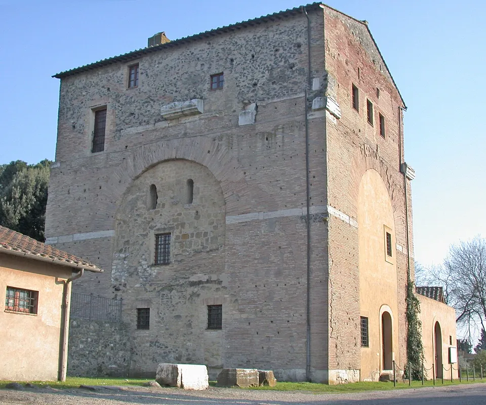
Photo: MM · Public domain · Commons
14 km · arch · Lazio
Arch of Malborghetto
At first sight you see an austere farmhouse rather than an arch (it.wikipedia).
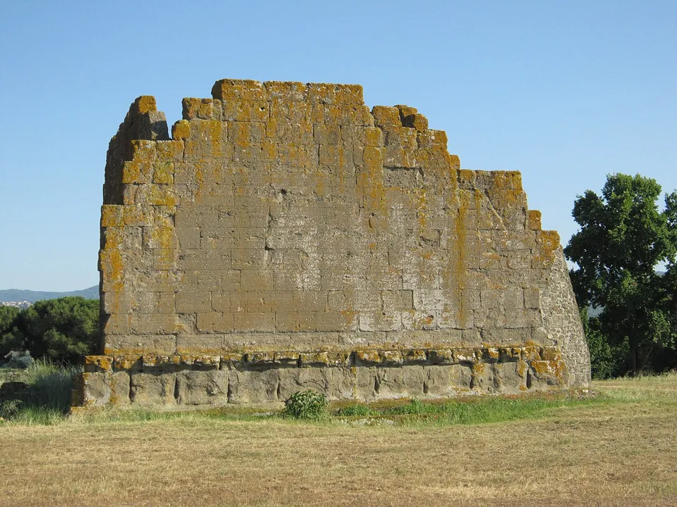
Photo: Carlomorino · CC BY-SA 3.0 · Commons
16 km · city · Lazio
Gabii
The park the state holds covers about 70 hectares on the southern rim of a volcanic crater whose lake was drained in the 19th century (the operator; en.wikipedia).


Straight-line distances.
Sources
Every fact on this page comes from the records below, each used under the licence noted.
| Source | Licence |
|---|---|
| Pleiades 50864838 | CC BY |
| Wikidata Q1351222 | CC0 |
| Vici.org 12027 | CC BY-SA (text), CC0 (metadata) |
| OpenStreetMap way/231313783 | ODbL |
| Sovrintendenza Capitolina ai Beni Culturali — Ponte Nomentano (the operator) | licence not recorded |
| Turismo Roma (City of Rome) — Ponte Nomentano | licence not recorded |
| Wikipedia (en) — Ponte Nomentano | CC BY-SA 4.0 |
| Wikipedia (it) — Ponte Nomentano | CC BY-SA 4.0 |
| Wikipedia (de) — Ponte Nomentano | CC BY-SA 4.0 |
| Wikipedia (fr) — Pont Nomentano | CC BY-SA 4.0 |
| Wikipedia (it) — Mausoleo di Menenio Agrippa | CC BY-SA 4.0 |