

The Aqua Marcia was ancient Rome’s longest aqueduct, about 91 km from springs in the Aniene valley, built between 144 and 140 BC (en.wikipedia), and what is left of it in the city is a trail of fragments rather than one monument. Its arches can still be seen at Tor Fiscale, at the Mandrione and between Porta Maggiore and Porta Tiburtina (Turismo Roma). The city’s stretches are free and in the open air.
What is there today
Most of what survives near Rome is hidden. When Pope Sixtus V built the Acqua Felice in the 1580s, long stretches of the Marcia were demolished or built over (Turismo Roma; fr.wikipedia), so along much of that line the ancient aqueduct is hidden by the papal one (Turismo Roma).
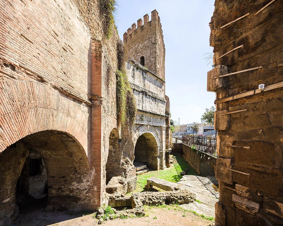
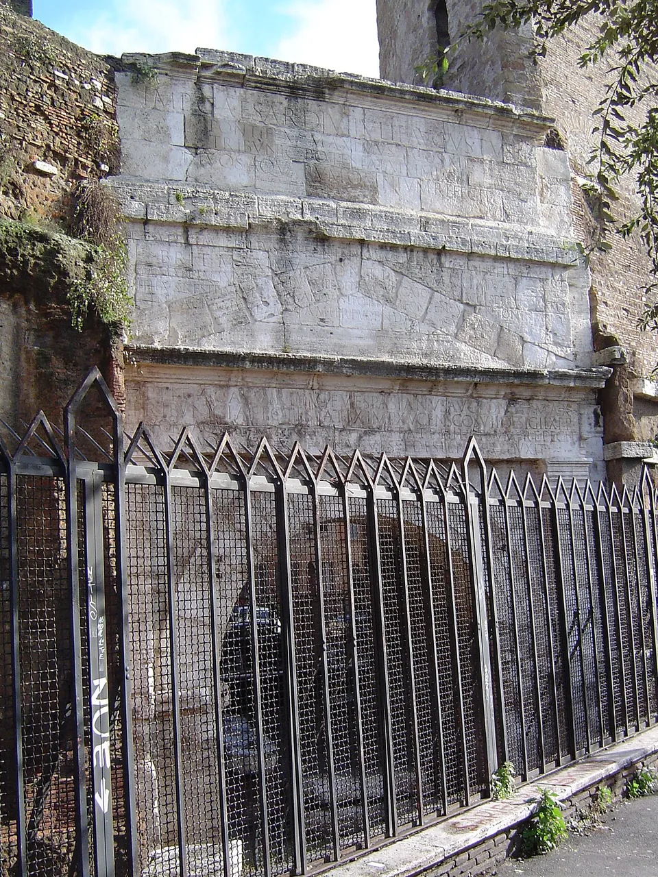
Porta Tiburtina. The clearest sight is a city gate. The Marcia, with the Aqua Tepula and the Aqua Julia above it in their own channels, crossed the Via Tiburtina on an arch that was later built into the Aurelian Walls as Porta Tiburtina (de.wikipedia; fr.wikipedia). Its attic still carries the inscriptions recording the repairs of Augustus, of Titus in AD 79 and of Caracalla in 212–213 (Turismo Roma; it.wikipedia). The gate itself is described on the Porta Maggiore page.
The Parco degli Acquedotti and Tor Fiscale. In the park, in the south-east of the city, two stretches of the Marcia’s arches are still well preserved behind the Casale di Roma Vecchia (Turismo Roma). Do not expect them to dominate: the imposing arches the park is known for are those of the Aqua Claudia and the Acqua Felice (Turismo Roma), and it.wikipedia says only a few remains of the Marcia are visible. Tor Fiscale, a medieval tower, stands where the Claudia’s arches cross the Marcia (it.wikipedia).
Via del Mandrione. The map point marks an 80 m stretch of ruined Marcia wall at Via del Mandrione, by Porta Furba (OpenStreetMap), one of the places Turismo Roma names for its arches.
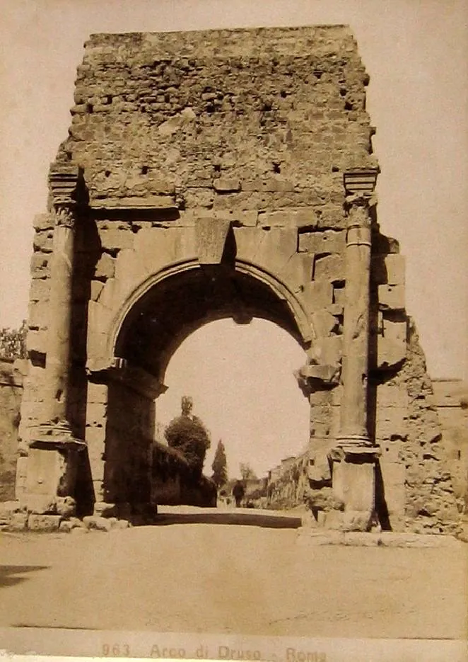
Caracalla’s branch. Caracalla built a branch of the Marcia to his baths; it crossed the Via Appia on the arch now called the Arch of Drusus, beside Porta San Sebastiano (de.wikipedia; fr.wikipedia), described on the Aurelian Walls page.
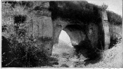
Outside Rome. Most of the line ran underground, about 80 km of it (en.wikipedia; it.wikipedia), but bridges can still be seen along its course east of the city: Ponte San Pietro, Ponte Lupo, Ponte Caipoli, Ponte della Bullica and Ponte degli Arci (en.wikipedia). Ponte Lupo, more than 30 m high and over 80 m long, is on a private estate (en.wikipedia).
Is it worth the trip?
As a single destination, no: there is no site to walk round and nothing to enter, and in the Parco degli Acquedotti the arches that catch the eye are the Aqua Claudia’s. As part of something else, yes. Porta Tiburtina is a city gate with Augustus’s name cut into it, and the Marcia’s arches in the Parco degli Acquedotti come with the walk past the Claudia’s, so they are worth seeking out there. Rome’s tourism portal gives the aqueduct no opening hours, only “closed to the public”; the stretches in the city named above are seen from the street or the park.
Getting there
For the Parco degli Acquedotti, the entrance is on Via Lemonia, near the Giulio Agricola and Sub Augusta stops of Metro line A; for Tor Fiscale, the nearest Metro A stop is Porta Furba (parcodegliacquedotti.it). The map point by Porta Furba has two ATAC bus stops within 170 m; the car parks mapped nearby are private or for customers only (OpenStreetMap).
The park is open from dawn to sunset. Its information point opens on Sundays and closes in January, February, July and August (Turismo Roma, read 21 October 2026). Nothing here is ticketed.
Visiting details
- Opening hours
- The arches at the Mandrione and Porta Tiburtina stand in the street, with no opening hours. The Parco degli Acquedotti is open from dawn to sunset; its information point (Punto Info Acquedotti) opens on Sundays and is closed in January, February, July and August.
- Tickets
- No ticket. The remains stand along public streets and in the Parco degli Acquedotti, a public park; the city's tourism portal lists no admission charge for either.
- Parking
- None mapped for visitors near the point; the car parks within 200 m are private or for customers only (OpenStreetMap). The aqueduct is easier by metro and bus.
Before you go
- Rome's tourism portal gives the aqueduct no opening hours, only "closed to the public"; the stretches in the city are seen from the street and from the park.
- Much of the ancient channel near Rome is hidden inside the 16th-century Acqua Felice, which was built on top of it. In the Parco degli Acquedotti the tall arches are the Aqua Claudia's and the Felice's; the Marcia shows in two stretches behind the Casale di Roma Vecchia.
Hours and prices checked 21 October 2026 on the operator's own site. Confirm before travelling.
History
By the middle of the 2nd century BC Rome’s first two aqueducts were run down and drained by illegal pipes, and the Senate decided to build a new one, longer than the others and able to bring water up to the Capitoline Hill. The work was given to the praetor Quintus Marcius Rex, after whom it is named, and his term was extended so that he could finish it; it was paid for largely from the spoils of the conquest of Corinth and the destruction of Carthage, both in 146 BC (en.wikipedia). Bringing the water to the Capitol was disputed on the strength of a passage in the Sibylline Books, but the Senate let it go ahead (en.wikipedia; fr.wikipedia).
The water was the reason for the effort. The Marcia drew directly from a spring rather than the river, and its water was counted the best that reached Rome; Pliny the Elder called it “clarissima aquarum omnium”, the clearest of all waters (it.wikipedia). It was the first of Rome’s aqueducts to enter the city on arches (en.wikipedia). Published figures for that arched stretch run from about 9.6 to 11 km (fr.wikipedia; en.wikipedia), and the arches were later shared with the Aqua Tepula and the Aqua Julia (en.wikipedia).
It needed constant care. Agrippa repaired it in 33 BC, and Augustus rebuilt much of it between 11 and 4 BC, adding a second spring, the Aqua Augusta, that roughly doubled the flow (en.wikipedia; it.wikipedia). Private diversions had reduced it to a trickle in the city by Nero’s time; later emperors raised the supply again (en.wikipedia). Around AD 97 Frontinus measured it as the second largest of the city’s water supplies (en.wikipedia; de.wikipedia). Further repairs came under Titus, Hadrian and Septimius Severus; Caracalla added a new spring and the branch to his baths, another branch fed the Baths of Diocletian, and the last works, probably under Arcadius and Honorius, belong to the early 5th century, shortly before the city’s whole water system was abandoned (it.wikipedia; en.wikipedia; Turismo Roma).
The spring has outlived the aqueduct. Pope Pius IX had the aqueduct restored, and it was inaugurated again on 10 September 1870 (it.wikipedia); the same springs still supply a modern aqueduct for Rome (en.wikipedia; de.wikipedia).
More photographs

Nearby
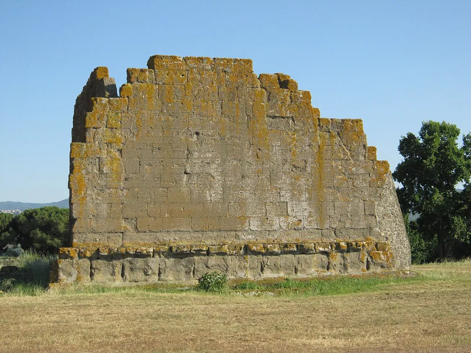
Photo: Carlomorino · CC BY-SA 3.0 · Commons
15 km · city · Lazio
Gabii
The park the state holds covers about 70 hectares on the southern rim of a volcanic crater whose lake was drained in the 19th century (the operator; en.wikipedia).
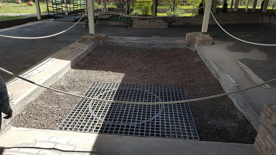
Photo: MumblerJamie · CC BY-SA 2.0 · Commons
15 km · villa · Lazio
Villa of Livia
The operator describes the private wing with the bedrooms of Livia and the emperor, an atrium and a small inner garden, and the large reception rooms that open onto a peristyle; the rooms once had painted walls and floors of mosaic and cut marble (Soprintendenza Speciale di Roma).
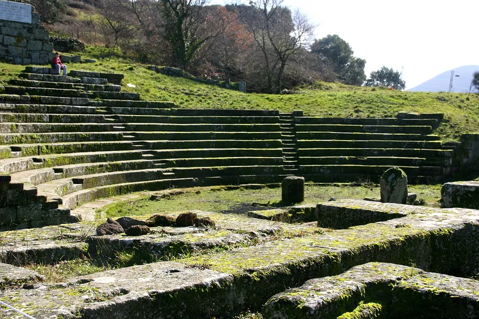
Photo: Luiza Serpa Lopes · Public domain · Commons
16 km · city · Lazio
Tusculum
The visitor route runs mainly through the forum, with the theatre halfway round (the operator).


Straight-line distances.
Sources
Every fact on this page comes from the records below, each used under the licence noted.
| Source | Licence |
|---|---|
| Pleiades 423565 | CC BY |
| Wikidata Q622943 | CC0 |
| Vici.org 19920 | CC BY-SA (text), CC0 (metadata) |
| OpenStreetMap way/113758266 | ODbL |
| Wikipedia (en) — Aqua Marcia | CC BY-SA 4.0 |
| Wikipedia (it) — Acqua Marcia | CC BY-SA 4.0 |
| Wikipedia (de) — Aqua Marcia | CC BY-SA 4.0 |
| Wikipedia (fr) — Aqueduc de l'Aqua Marcia | CC BY-SA 4.0 |
| Wikipedia (it) — Parco degli Acquedotti | CC BY-SA 4.0 |
| Turismo Roma — Marcio aqueduct (Roma Capitale's tourism portal) | licence not recorded |
| Turismo Roma — Parco degli Acquedotti (hours) | licence not recorded |
| Parco degli Acquedotti — how to get there (the park's own site) | licence not recorded |